Bassenhally Field
Downs, Moorland in Cambridgeshire Fenland
England
Bassenhally Field
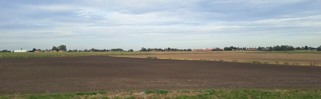
Bassenhally Field is a picturesque area located in the county of Cambridgeshire in eastern England. Situated in the village of Whittlesey, the field offers a stunning display of downs and moorland landscapes that are a delight to visitors and locals alike.
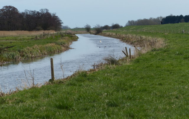
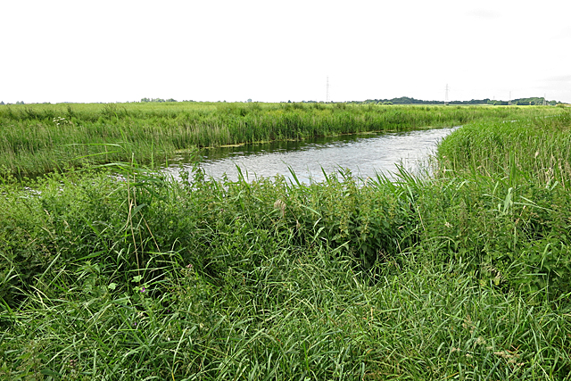
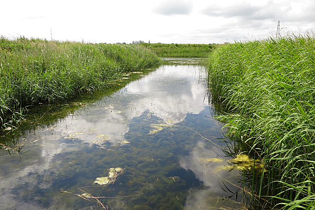
Covering an expansive area of approximately 100 acres, Bassenhally Field is a diverse ecosystem that boasts a rich variety of flora and fauna. The field features rolling hills and gentle slopes, adorned with vibrant wildflowers during the summer months. Its open spaces provide a haven for numerous bird species, making it an ideal spot for birdwatching enthusiasts.
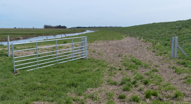
The field is crisscrossed by footpaths and trails, offering visitors the opportunity to explore its beauty at their own pace. These paths lead to various points of interest, including a small pond that supports a thriving aquatic ecosystem. In the spring, the field comes alive with the calls of frogs and the sight of tadpoles in the pond, adding to its natural charm.
Bassenhally Field is not only a haven for wildlife but also a popular recreational space. It provides ample opportunities for outdoor activities such as walking, picnicking, and even kite flying on windy days. The field also hosts community events throughout the year, including nature walks, educational programs, and local festivals.
Overall, Bassenhally Field in Cambridgeshire is a true gem of natural beauty, offering a tranquil escape from the hustle and bustle of daily life. Its downs and moorland landscapes, coupled with its diverse wildlife and recreational opportunities, make it an idyllic destination for nature lovers and outdoor enthusiasts.
If you have any feedback on the listing, please let us know in the comments section below.
Bassenhally Field Images
Images are sourced within 2km of 52.564618/-0.10062523 or Grid Reference TL2898. Thanks to Geograph Open Source API. All images are credited.


Bassenhally Field is located at Grid Ref: TL2898 (Lat: 52.564618, Lng: -0.10062523)
Division: Isle of Ely
Administrative County: Cambridgeshire
District: Fenland
Police Authority: Cambridgeshire
What 3 Words
///restores.glare.repaid. Near Whittlesey, Cambridgeshire
Nearby Locations
Related Wikis

Bassenhally Pit
Bassenhally Pit is an 8.6-hectare (21-acre) biological Site of Special Scientific Interest north-east of Whittlesey in Cambridgeshire.This former gravel...

Whittlesey Athletic F.C.
Whittlesey Athletic Football Club is a football club based in Whittlesey, Cambridgeshire, England. They are currently members of the Eastern Counties League...
Eastrea
Eastrea is a village in Cambridgeshire, located on the A605 between Whittlesey and Coates. The site has been inhabited since Roman times. The population...

Sir Harry Smith Community College
Sir Harry Smith Community College is a secondary school in Whittlesey, Cambridgeshire. Opened in 1953 on the former site of the Whittlesey Workhouse, the...

Lattersey Field
Lattersey Field is an 11.9 hectare Local Nature Reserve in Whittlesey in Cambridgeshire. It is owned by Fenland District Council and managed by the Wildlife...
Eastrea railway station
Eastrea railway station was a station serving the village of Eastrea, Cambridgeshire on the Great Eastern Railway's line from Ely to Peterborough. The...

Whittlesea railway station
Whittlesea railway station is on the Ely–Peterborough line in the East of England and serves the market town of Whittlesey, Cambridgeshire. Whittlesea...

Whittlesey Museum
The Whittlesey Museum is a local history museum in Market Street, Whittlesey, Cambridgeshire, England. It is based on the ground floor of Whittlesey Town...
Have you been to Bassenhally Field?
Leave your review of Bassenhally Field below (or comments, questions and feedback).