West Field
Downs, Moorland in Yorkshire
England
West Field
The requested URL returned error: 429 Too Many Requests
If you have any feedback on the listing, please let us know in the comments section below.
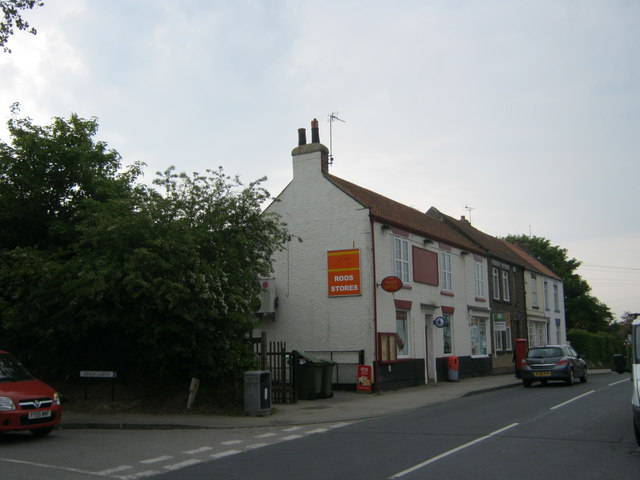
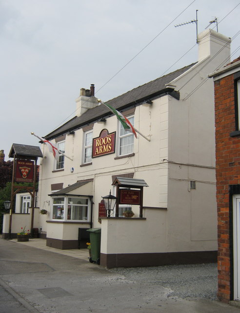
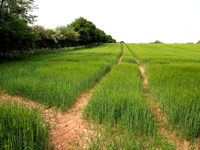
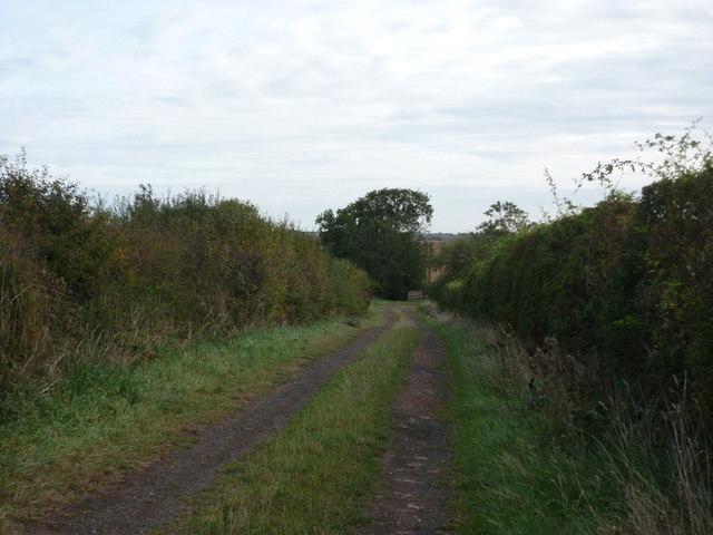
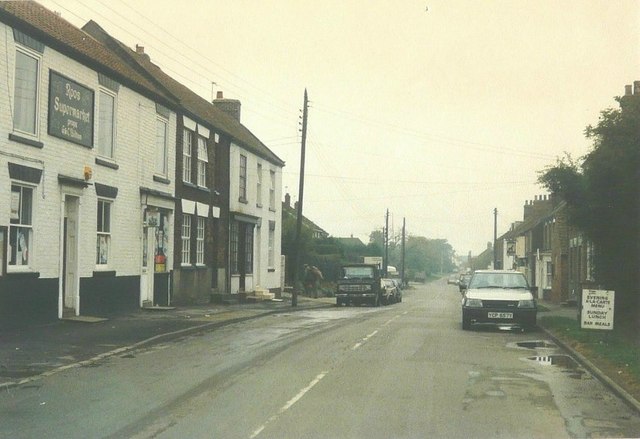
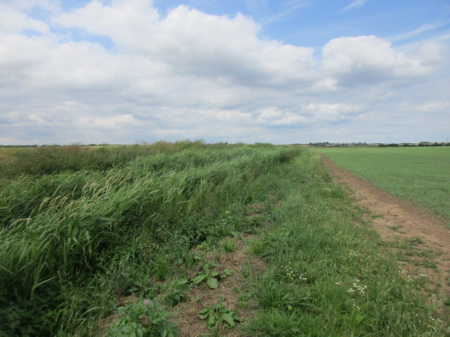
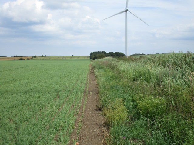
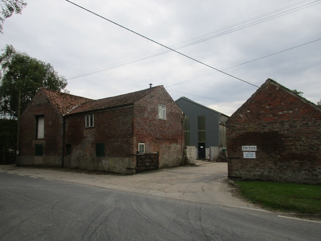
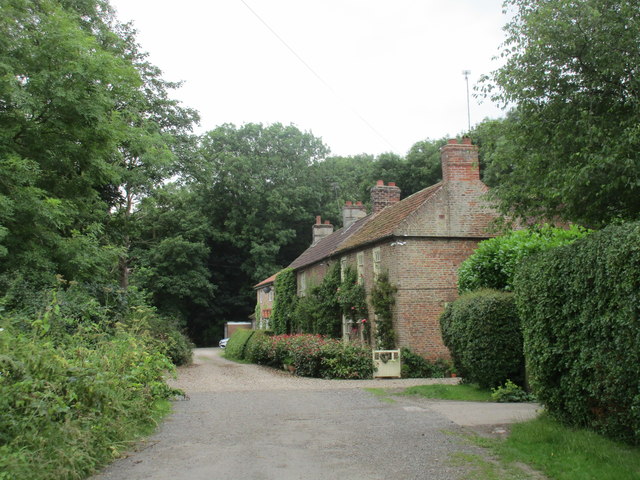
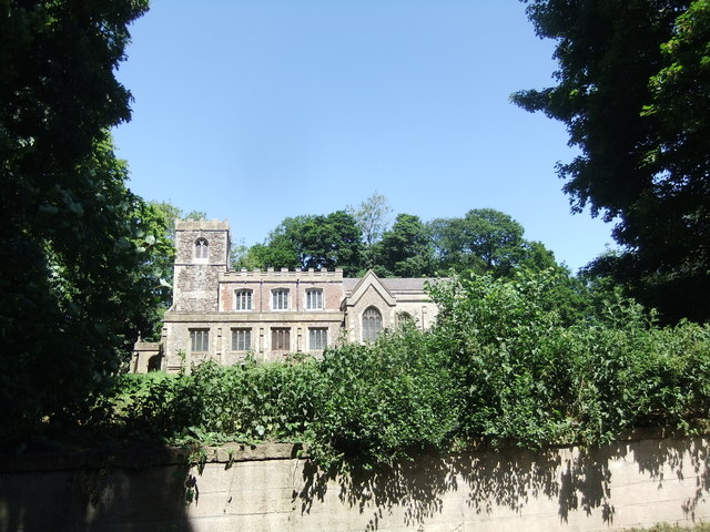
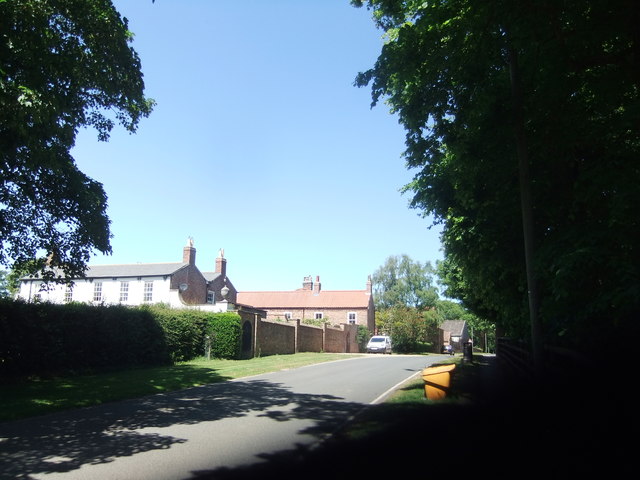
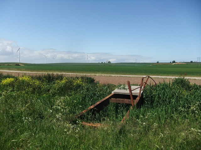
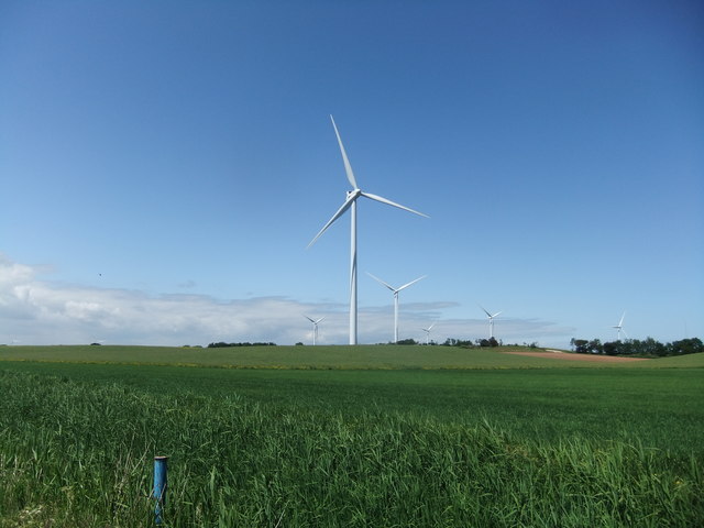
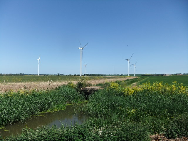
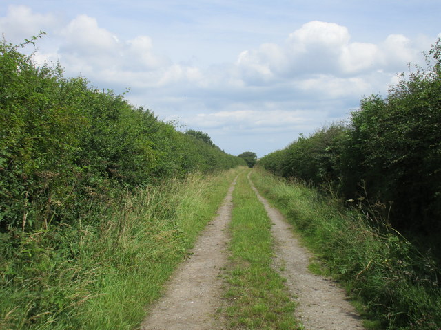
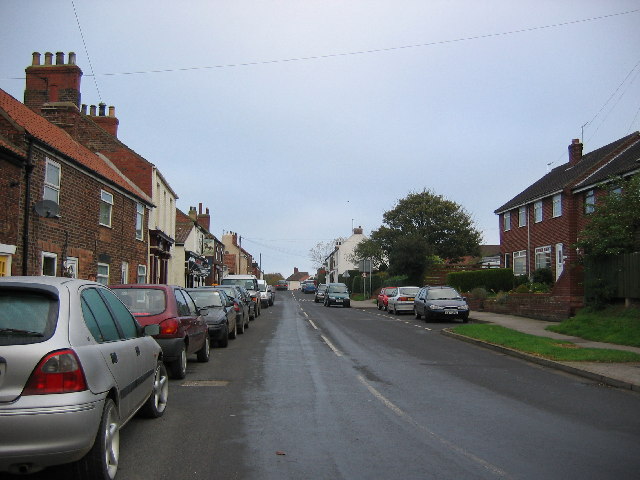
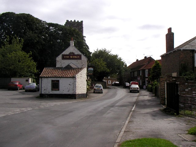
West Field Images
Images are sourced within 2km of 53.756878/-0.061955868 or Grid Reference TA2730. Thanks to Geograph Open Source API. All images are credited.


West Field is located at Grid Ref: TA2730 (Lat: 53.756878, Lng: -0.061955868)
Division: East Riding
Unitary Authority: East Riding of Yorkshire
Police Authority: Humberside
What 3 Words
///hippy.shock.tricycle. Near Roos, East Yorkshire
Nearby Locations
Related Wikis
Roos
Roos is a village and civil parish in the East Riding of Yorkshire, England. It is situated 12 miles (19 km) east from Kingston upon Hull city centre and...

Owstwick
Owstwick is a hamlet in the civil parish of Roos, in the East Riding of Yorkshire, England, in an area known as Holderness. It is approximately 11 miles...

Tunstall, East Riding of Yorkshire
Tunstall is a village in the civil parish of Roos, in Holderness, in the East Riding of Yorkshire, England, close to the North Sea coast. It is situated...
Burton Pidsea
Burton Pidsea is a village and civil parish in the Holderness area of the East Riding of Yorkshire, England. The village is situated approximately 11 miles...
Nearby Amenities
Located within 500m of 53.756878,-0.061955868Have you been to West Field?
Leave your review of West Field below (or comments, questions and feedback).