West Carr Plantation

Wood, Forest in Yorkshire

England

West Carr Plantation

The Post Office in Roos
The Post Office in Roos Credit: peter robinson

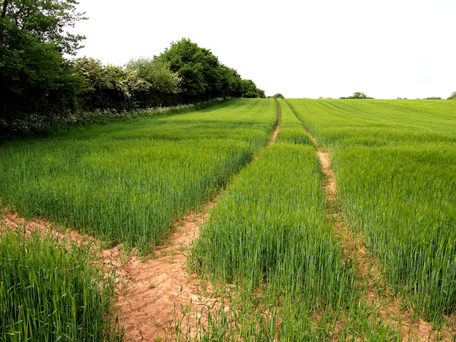
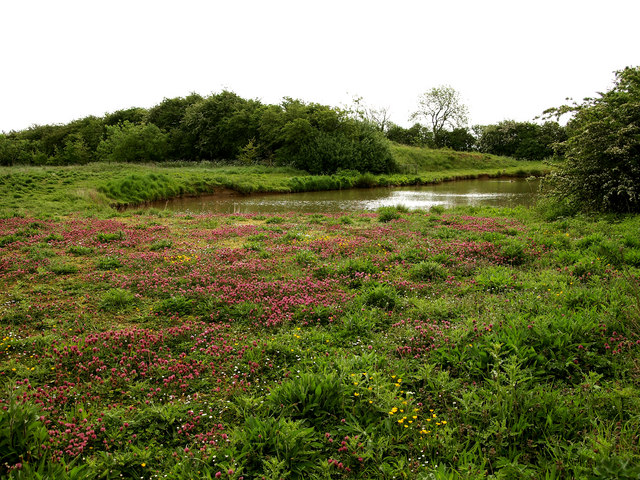
West Carr Plantation is a dense woodland located in Yorkshire, England. Covering an area of approximately 50 acres, the plantation is known for its diverse range of tree species, including oak, beech, and birch. The woodland is managed by the Yorkshire Forestry Commission, who work to maintain its natural beauty and biodiversity.

Visitors to West Carr Plantation can enjoy a network of walking trails that wind through the trees, providing opportunities to observe local wildlife such as deer, squirrels, and various bird species. The woodland is also home to a variety of plant species, including bluebells, ferns, and mosses, creating a lush and vibrant ecosystem.

West Carr Plantation is a popular destination for nature lovers, hikers, and photographers seeking to immerse themselves in the tranquility of the forest. The peaceful atmosphere of the woodland, combined with its stunning natural scenery, makes it a perfect place to escape the hustle and bustle of everyday life and reconnect with the beauty of the natural world.

If you have any feedback on the listing, please let us know in the comments section below.

West Carr Plantation Images

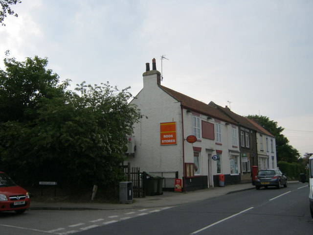
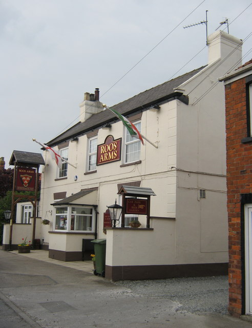
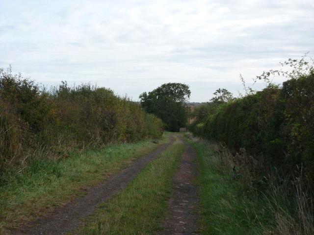
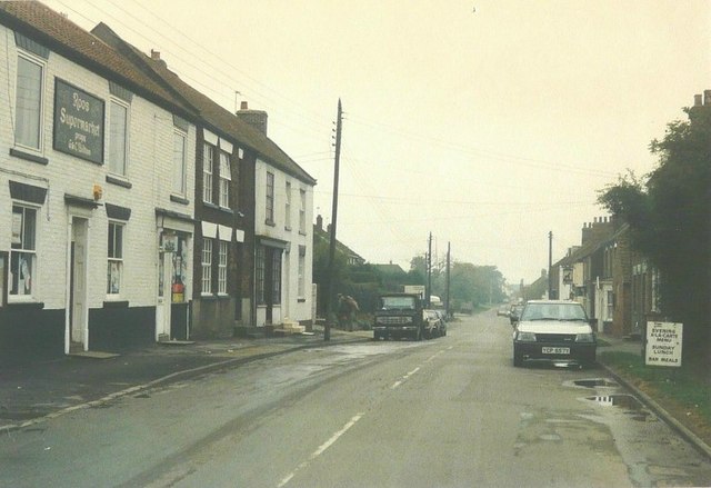
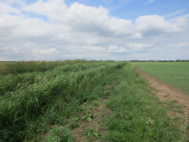
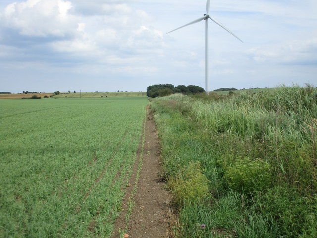
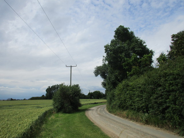
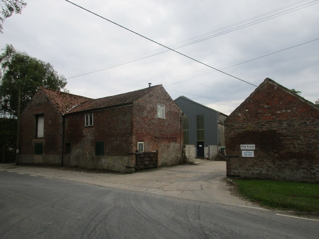
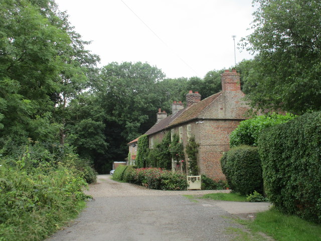
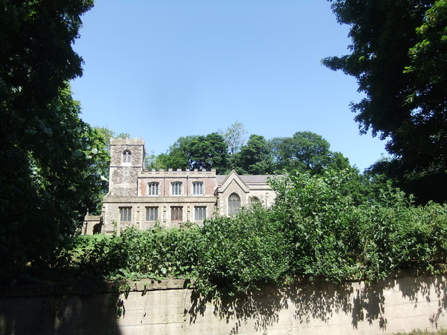
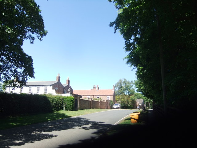
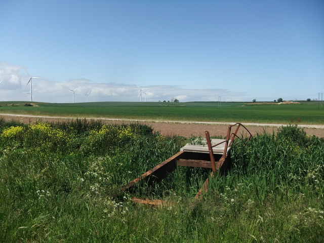
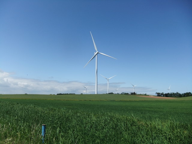
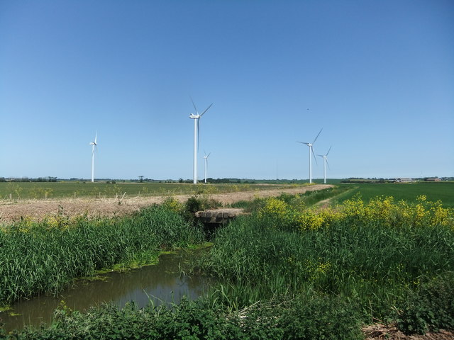
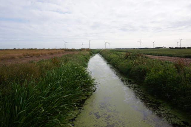
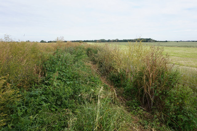
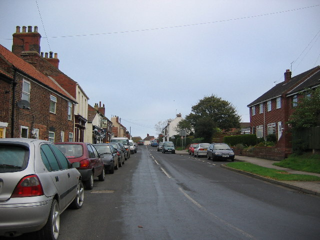
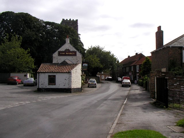
Images are sourced within 2km of 53.751552/-0.067297368 or Grid Reference TA2730. Thanks to Geograph Open Source API. All images are credited.

The Post Office in Roos
Roos Arms in Roos
Roos Arms in Roos
Barley Field
Barley Field
New Pond The pond doesn't seem to be shown on any of the recent maps.
New Pond
The pond doesn't seem to be shown on any of the recent maps.
A bridleway on Carr Lane
Main Street, Roos in 1987 On the immediate left is Roos Supermarket, proprietors G & C Bilton, which has now become <a href="https://www.geograph.org.uk/photo/2403412">TA2930 : The Post Office in Roos</a>
Main Street, Roos in 1987
On the immediate left is Roos Supermarket, proprietors G & C Bilton, which has now become TA2930 : The Post Office in Roos
Alongside Owstwick Drain A field of peas on the right.
Alongside Owstwick Drain
A field of peas on the right.
Roos Carrs Looking towards West Carr Plantation with a field of peas to the left and one of the wind turbines of the Sunderland Wind Farm ahead.
Roos Carrs
Looking towards West Carr Plantation with a field of peas to the left and one of the wind turbines of the Sunderland Wind Farm ahead.
Carr Road, Burton Pidsea Just south of Nancy Row which is hidden by the trees on the right.
Carr Road, Burton Pidsea
Just south of Nancy Row which is hidden by the trees on the right.
The Elms Farm, Roos
The Elms Farm, Roos
Cottages, South End, Roos
All Saints' Church, Roos
The Elms, Roos
The Elms, Roos
Destroyed footbridge There is no access to the Sunderland wind farm and it is protected from the south by the drain over which this was the only bridge.
Destroyed footbridge
There is no access to the Sunderland wind farm and it is protected from the south by the drain over which this was the only bridge.
Wind farm
Wind farm
Geyhorn Bridge, Halsham Drain
Halsham Drain towards Geyhorn Bridge
Bridleway towards Burton Pidsea
Show me another place!

West Carr Plantation is located at Grid Ref: TA2730 (Lat: 53.751552, Lng: -0.067297368)

Division: East Riding

Unitary Authority: East Riding of Yorkshire

Police Authority: Humberside

What 3 Words

///remembers.dolphin.glimmers. Near Roos, East Yorkshire

Related Wikis

Roos

Roos is a village and civil parish in the East Riding of Yorkshire, England. It is situated 12 miles (19 km) east from Kingston upon Hull city centre and...

Owstwick

Owstwick is a hamlet in the civil parish of Roos, in the East Riding of Yorkshire, England, in an area known as Holderness. It is approximately 11 miles...

Burton Pidsea

Burton Pidsea is a village and civil parish in the Holderness area of the East Riding of Yorkshire, England. The village is situated approximately 11 miles...

Halsham

Halsham is a village and civil parish in the East Riding of Yorkshire, England, in an area known as Holderness. It is situated approximately 4 miles...

Nearby Amenities

Located within 500m of 53.751552,-0.067297368
Power: pole
Lat/Long: 53.7486527/-0.0624201
Power: pole
Lat/Long: 53.7495536/-0.0637505
Power: pole
Lat/Long: 53.7505369/-0.0650702
Power: pole
Lat/Long: 53.7525162/-0.0677309
Power: pole
Lat/Long: 53.7535629/-0.0692008
Power: pole
Lat/Long: 53.7545208/-0.0705955
Power: pole
Lat/Long: 53.7516217/-0.0664542
Roos Carrs
Place: locality
Lat/Long: 53.7505377/-0.0662394
Generator Method: wind_turbine
Generator Source: wind
Generator Type: horizontal_axis
Power: generator
Lat/Long: 53.748457/-0.0648666
Generator Method: wind_turbine
Generator Source: wind
Generator Type: horizontal_axis
Power: generator
Lat/Long: 53.7510327/-0.0686646
The data included in this document is from www.openstreetmap.org. The data is made available under ODbL.

Have you been to West Carr Plantation?

Leave your review of West Carr Plantation below (or comments, questions and feedback).