Autby Wood

Wood, Forest in Lincolnshire East Lindsey

England

Autby Wood

Westfield Farm, Hawerby: aerial 2021
Westfield Farm, Hawerby: aerial 2021 Credit: Chris

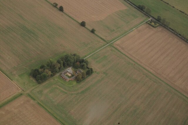
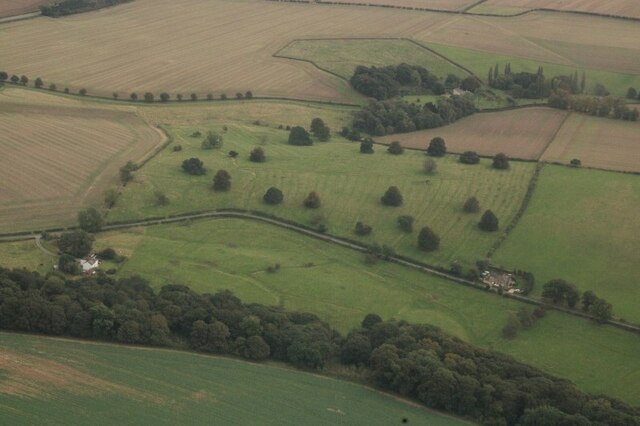
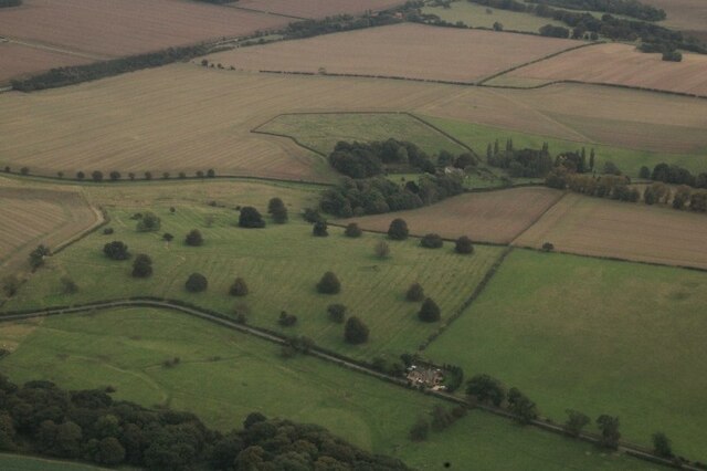
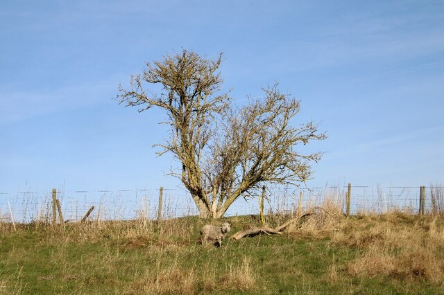
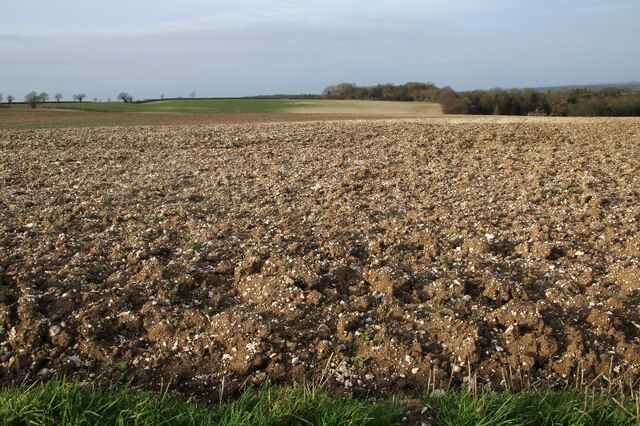
Autby Wood is a picturesque forest located in the county of Lincolnshire, England. Covering an area of approximately 100 acres, it is a haven for nature enthusiasts and a popular destination for outdoor activities. The wood is situated near the village of Autby, which lends its name to the woodland.

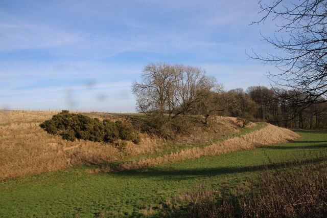
The woodland is primarily composed of deciduous trees, including oak, beech, and birch. These trees provide a rich canopy, creating a dappled effect of sunlight filtering through the leaves. The forest floor is adorned with a vibrant array of wildflowers and ferns, adding to the beauty of the landscape.

Autby Wood is home to a diverse range of wildlife, making it a haven for nature lovers. Visitors may spot various bird species, such as woodpeckers, thrushes, and owls, as well as small mammals like squirrels, rabbits, and hedgehogs. The forest also supports a variety of insects and butterflies, adding to its ecological significance.

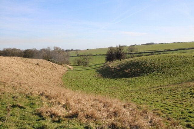
The wood offers several walking trails, allowing visitors to explore its natural beauty at their own pace. These trails are well-maintained and provide informative signage about the flora and fauna found within the wood. There are also designated picnic areas, providing a perfect spot for visitors to relax and enjoy the tranquil surroundings.

Autby Wood is open to the public year-round and offers a peaceful retreat for those seeking to immerse themselves in nature. Whether it is a leisurely walk, birdwatching, or simply enjoying a picnic amidst the serenity of the forest, Autby Wood offers a truly idyllic experience for visitors of all ages.

If you have any feedback on the listing, please let us know in the comments section below.

Autby Wood Images

Images are sourced within 2km of 53.452441/-0.080996751 or Grid Reference TF2796. Thanks to Geograph Open Source API. All images are credited.

Westfield Farm, Hawerby: aerial 2021
Beesby DMV: aerial 2021 (1) Mentioned in "Beresford's Lost Villages": <span class="nowrap"><a title="http://www.dmvhull.org/dmvDetail.cfm?dbkey=3727&county=true" rel="nofollow ugc noopener" href="http://www.dmvhull.org/dmvDetail.cfm?dbkey=3727&county=true">Link</a><img style="margin-left:2px;" alt="External link" title="External link - shift click to open in new window" src="https://s1.geograph.org.uk/img/external.png" width="10" height="10"/></span>

Otherwise seems to be undocumented.
Beesby DMV: aerial 2021 (1)
Mentioned in "Beresford's Lost Villages": LinkExternal link Otherwise seems to be undocumented.
Beesby DMV: aerial 2021 (2) Mentioned in "Beresford's Lost Villages": <span class="nowrap"><a title="http://www.dmvhull.org/dmvDetail.cfm?dbkey=3727&county=true" rel="nofollow ugc noopener" href="http://www.dmvhull.org/dmvDetail.cfm?dbkey=3727&county=true">Link</a><img style="margin-left:2px;" alt="External link" title="External link - shift click to open in new window" src="https://s1.geograph.org.uk/img/external.png" width="10" height="10"/></span>

Otherwise seems to be undocumented.
Beesby DMV: aerial 2021 (2)
Mentioned in "Beresford's Lost Villages": LinkExternal link Otherwise seems to be undocumented.
Near Hawerby: an offering to the Wanderlust Gods or a rescue package for exhausted walkers? Beside the Wanderlust Way.
Near Hawerby: an offering to the Wanderlust Gods or a rescue package for exhausted walkers?
Beside the Wanderlust Way.
Glacial valley, Beesby, near the Wanderlust Way (1)
The one that got away? Lone sheep near Beesby, by the Wanderlust Way
Glacial valley, Beesby, near the Wanderlust Way (2)
Glacial valley, Beesby, near the Wanderlust Way (3)
Glacial valley, Beesby, near the Wanderlust Way (4)
Chalky soil, and more chalky soil, near Hawerby (1) The field in the distance seems to be more chalk than soil.
Chalky soil, and more chalky soil, near Hawerby (1)
The field in the distance seems to be more chalk than soil.
Chalky soil, and more chalky soil, near Hawerby (2)
Pond and wood south of North Thoresby: aerial 2022 (1)
Pond and wood south of North Thoresby: aerial 2022 (2)
Pond and wood south of North Thoresby: aerial 2022 (3)
Wyham DMV: aerial 2022 See: <span class="nowrap"><a title="https://www.heritagegateway.org.uk/Gateway/Results_Single.aspx?uid=MLI40796&resourceID=1006" rel="nofollow ugc noopener" href="https://www.heritagegateway.org.uk/Gateway/Results_Single.aspx?uid=MLI40796&resourceID=1006">Link</a><img style="margin-left:2px;" alt="External link" title="External link - shift click to open in new window" src="https://s1.geograph.org.uk/img/external.png" width="10" height="10"/></span>
Wyham DMV: aerial 2022
See: LinkExternal link
Cadeby DMV: aerial 2022 See: <span class="nowrap"><a title="https://www.heritagegateway.org.uk/Gateway/Results_Single.aspx?uid=MLI43622&resourceID=1006" rel="nofollow ugc noopener" href="https://www.heritagegateway.org.uk/Gateway/Results_Single.aspx?uid=MLI43622&resourceID=1006">Link</a><img style="margin-left:2px;" alt="External link" title="External link - shift click to open in new window" src="https://s1.geograph.org.uk/img/external.png" width="10" height="10"/></span>
Cadeby DMV: aerial 2022
See: LinkExternal link
Historic settlement of Beesby: aerial 2022 (1) See: <span class="nowrap"><a title="https://www.heritagegateway.org.uk/Gateway/Results_Single.aspx?uid=MNL234&resourceID=1039" rel="nofollow ugc noopener" href="https://www.heritagegateway.org.uk/Gateway/Results_Single.aspx?uid=MNL234&resourceID=1039">Link</a><img style="margin-left:2px;" alt="External link" title="External link - shift click to open in new window" src="https://s1.geograph.org.uk/img/external.png" width="10" height="10"/></span>
Historic settlement of Beesby: aerial 2022 (1)
See: LinkExternal link
Historic settlement of Beesby: aerial 2022 (2) See: <span class="nowrap"><a title="https://www.heritagegateway.org.uk/Gateway/Results_Single.aspx?uid=MNL234&resourceID=1039" rel="nofollow ugc noopener" href="https://www.heritagegateway.org.uk/Gateway/Results_Single.aspx?uid=MNL234&resourceID=1039">Link</a><img style="margin-left:2px;" alt="External link" title="External link - shift click to open in new window" src="https://s1.geograph.org.uk/img/external.png" width="10" height="10"/></span>
Historic settlement of Beesby: aerial 2022 (2)
See: LinkExternal link
Show me another place!

Autby Wood is located at Grid Ref: TF2796 (Lat: 53.452441, Lng: -0.080996751)

Administrative County: Lincolnshire

District: East Lindsey

Police Authority: Lincolnshire

What 3 Words

///asks.violin.bolsters. Near North Thoresby, Lincolnshire

Related Wikis

Wyham cum Cadeby

Wyham cum Cadeby (otherwise Wyham with Caldeby) is a depopulated civil parish in the East Lindsey district of Lincolnshire, England. The nearest village...

North Thoresby

North Thoresby is a village and civil parish in the East Lindsey district of Lincolnshire, England. It is situated between Louth and Grimsby, approximately...

Ludborough

Ludborough is a village and civil parish in the East Lindsey district of Lincolnshire, England. It is situated approximately 5 miles (8 km) north from...

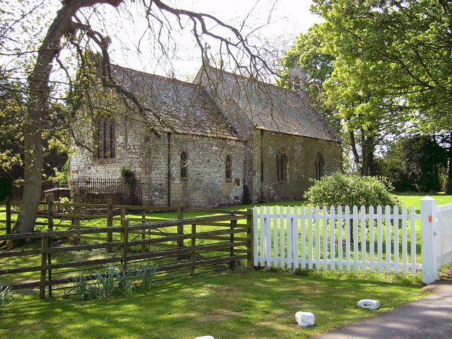
St Helen's Church, North Thoresby

St Helen's Church is the Anglican parish church in the village of North Thoresby in Lincolnshire, England. Built of squared limestone rubble, chalk and...

Grainsby

Grainsby is a hamlet and civil parish in the East Lindsey district of Lincolnshire, England. It is situated 5 miles (8 km) south from Grimsby, and just...

Wold Newton, Lincolnshire

Wold Newton is a village and civil parish in North East Lincolnshire, England. It is situated just over 1 mile (1.6 km) west from the A18 road, 7 miles...

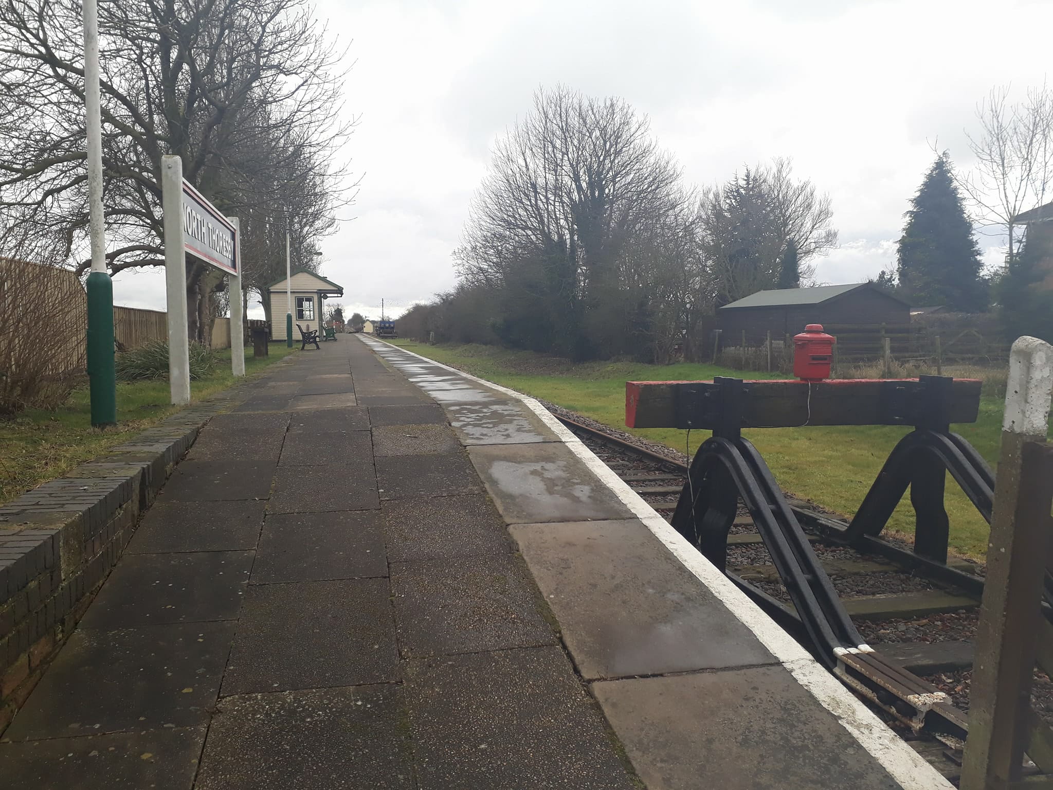
North Thoresby railway station

North Thoresby is a heritage railway station in North Thoresby, Lincolnshire. The station, which was previously part of the East Lincolnshire Railway,...

Lincolnshire Wolds Railway

The Lincolnshire Wolds Railway (LWR) is a heritage railway based at Ludborough station, near Louth, Lincolnshire, England and the only standard gauge steam...

Nearby Amenities

Located within 500m of 53.452441,-0.080996751
Cadeby House
Place: isolated_dwelling
Source: Bing
Lat/Long: 53.4526719/-0.0838456
Cadeby Lodges
Place: isolated_dwelling
Lat/Long: 53.4508048/-0.0825425
The data included in this document is from www.openstreetmap.org. The data is made available under ODbL.

Have you been to Autby Wood?

Leave your review of Autby Wood below (or comments, questions and feedback).