Hemingford Park

Downs, Moorland in Huntingdonshire Huntingdonshire

England

Hemingford Park

View towards the A1307 south of Hemingford Abbots
View towards the A1307 south of Hemingford Abbots Credit: Christopher Hilton

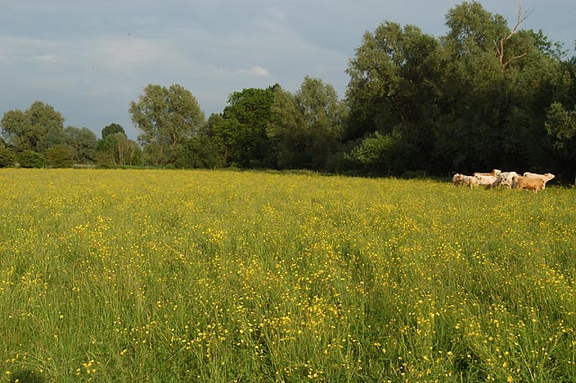
Hemingford Park is a picturesque area located in the district of Huntingdonshire in Cambridgeshire, England. It is known for its stunning natural beauty, encompassing both downs and moorland landscapes. The park covers a vast area, providing ample space for outdoor activities and wildlife observation.

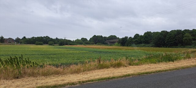
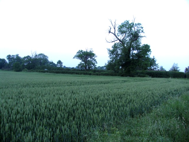
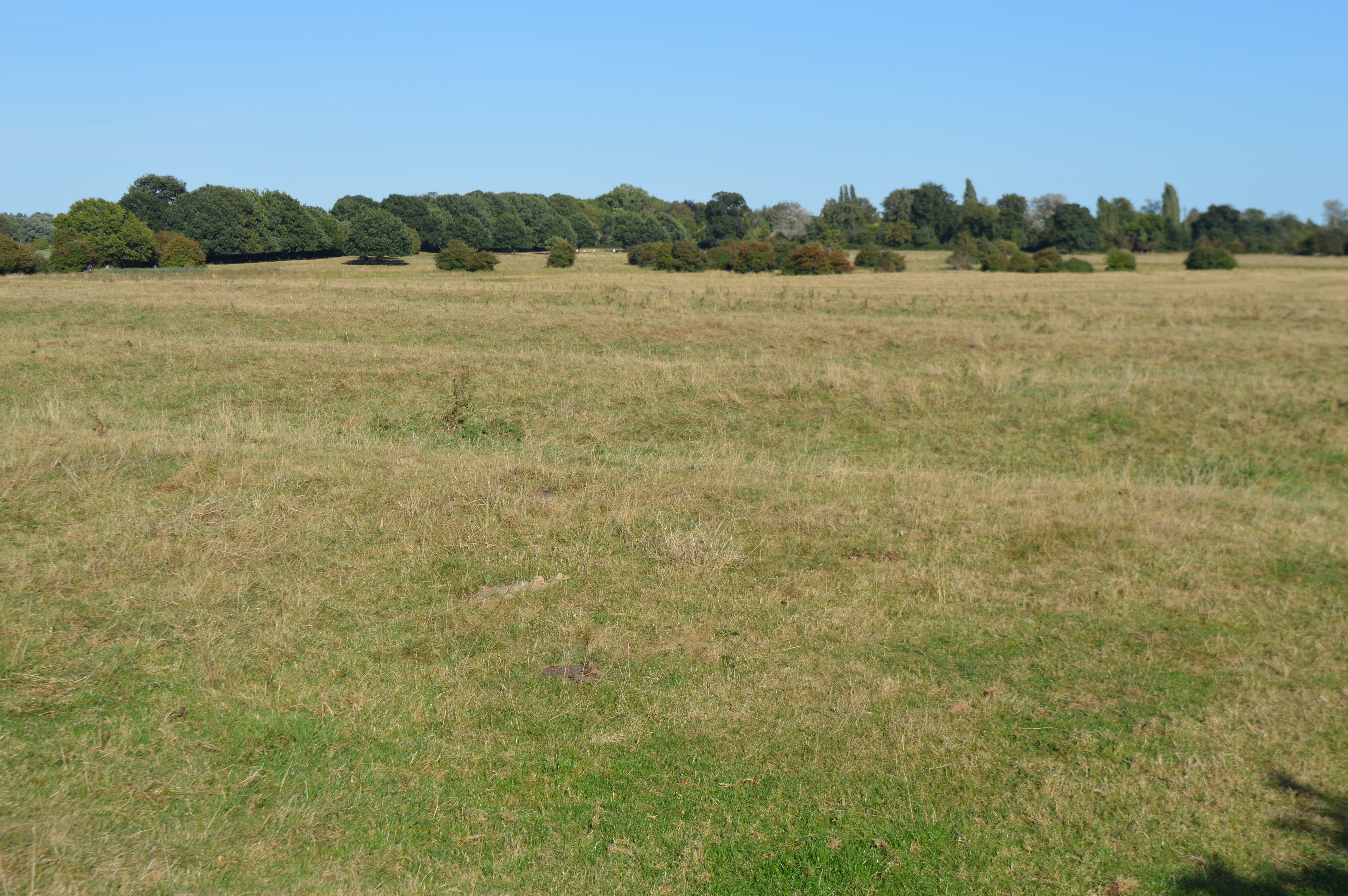
The downs in Hemingford Park are characterized by rolling hills and open grasslands, offering breathtaking panoramic views of the surrounding countryside. The grassy slopes are perfect for picnicking, walking, and enjoying the natural surroundings. Visitors can also witness a variety of wildflowers and plants that thrive in this unique ecosystem.

In contrast, the moorland in Hemingford Park features a more rugged terrain, with heather and gorse covering the landscape. This area is ideal for those seeking a more adventurous experience, as it offers opportunities for hiking and exploring the untamed wilderness. The moorland is also home to several species of birds and other wildlife, making it a popular spot for birdwatching and nature enthusiasts.

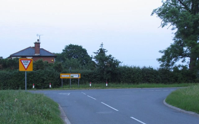
Hemingford Park is a haven for outdoor enthusiasts, with numerous walking and cycling trails crisscrossing the area. The park is well-maintained, with designated paths and signposts to guide visitors along the way. Additionally, there are plenty of parking facilities and rest areas for visitors to enjoy a peaceful break amidst the natural beauty.

Overall, Hemingford Park is a hidden gem in Huntingdonshire, offering a diverse range of landscapes and outdoor activities. Whether you are seeking a leisurely stroll through the downs or an adventurous trek across the moorland, this park has something for everyone to enjoy.

If you have any feedback on the listing, please let us know in the comments section below.

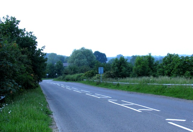
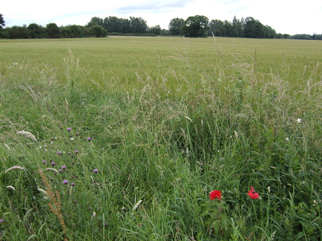
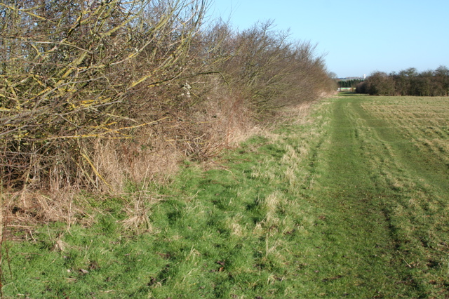
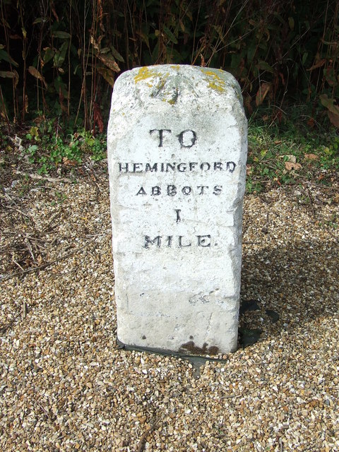
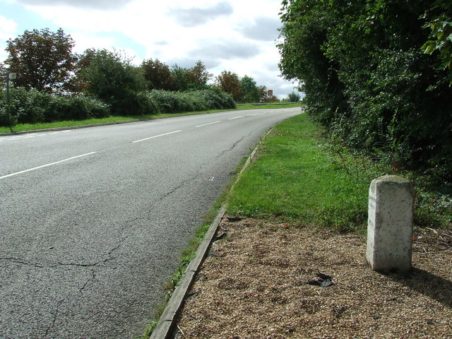
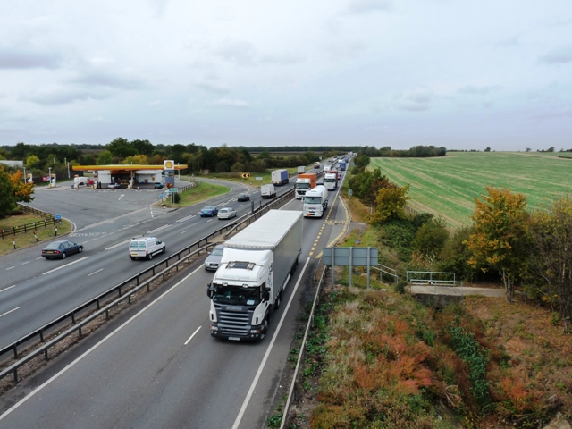
Hemingford Park Images

Images are sourced within 2km of 52.321036/-0.12601149 or Grid Reference TL2770. Thanks to Geograph Open Source API. All images are credited.

View towards the A1307 south of Hemingford Abbots
Junction with New Road
Field alongside New Road
Services on the A14 near to Hemingford Abbots
Rideaway from the A14 overbridge
Moats' Way
Moats' Way
Barley field Between Hemingford Grey and the A14. Galley Hill Farm is in amongst the trees in the distance.
Barley field
Between Hemingford Grey and the A14. Galley Hill Farm is in amongst the trees in the distance.
Field track west of Moat's Way Farm Just north and west of deserted Moat's Farm is a fairly flat track within a field. Due north is the busy A14 which hums in the background.
Field track west of Moat's Way Farm
Just north and west of deserted Moat's Farm is a fairly flat track within a field. Due north is the busy A14 which hums in the background.
Emmanuel Knoll Plantation This band of trees is seen through a field boundary west of Moat's Way Farm.
Emmanuel Knoll Plantation
This band of trees is seen through a field boundary west of Moat's Way Farm.
Field boundary west of Moat's Way Farm Facing north towards the A14, where a lorry can just be seen passing between the trees. This field is west of the deserted Moat's Way Farm.
Field boundary west of Moat's Way Farm
Facing north towards the A14, where a lorry can just be seen passing between the trees. This field is west of the deserted Moat's Way Farm.
Field track west of Moat's Way Farm This track faces east towards Moat's Way Farm, which can just be seen.
Field track west of Moat's Way Farm
This track faces east towards Moat's Way Farm, which can just be seen.
Track leading to Moat's Way Farm The gable end of a roof of the farm is indistinctly visible in the upper middle of this shot. The track seems rarely used and the farm is quite deserted, though the busy A14 is less than a kilometre away.
Track leading to Moat's Way Farm
The gable end of a roof of the farm is indistinctly visible in the upper middle of this shot. The track seems rarely used and the farm is quite deserted, though the busy A14 is less than a kilometre away.
Farm Yard at Moat's Way Farm This deserted farm is on the edge of TL2769 and this view from the yard has a field in TL2669 in the background.
Farm Yard at Moat's Way Farm
This deserted farm is on the edge of TL2769 and this view from the yard has a field in TL2669 in the background.
Moat's Way Farm These deserted farm buildings are viewed from the west. The busy A14 is less than a km to the north.
Moat's Way Farm
These deserted farm buildings are viewed from the west. The busy A14 is less than a km to the north.
Retired tractor in derelict farm buildings This tractor, partly covered in old sacks, is in the deserted buildings of Moat's Way Farm.
Retired tractor in derelict farm buildings
This tractor, partly covered in old sacks, is in the deserted buildings of Moat's Way Farm.
Old Milestone Old milestone near to Hemingford Abbots, Cambridgeshire. For overall view see <a title="https://www.geograph.org.uk/photo/1461091" href="https://www.geograph.org.uk/photo/1461091">Link</a>
Old Milestone
Old milestone near to Hemingford Abbots, Cambridgeshire. For overall view see Link
Old Milestone Old milestone near to Hemingford Abbots, Cambridgeshire. For close up view see <a title="https://www.geograph.org.uk/photo/1461085" href="https://www.geograph.org.uk/photo/1461085">Link</a>
Old Milestone
Old milestone near to Hemingford Abbots, Cambridgeshire. For close up view see Link
The busy A14 trunk road Consultation is currently (late 2009) taking place to widen the A14 between Ellington and Fen Ditton.
The busy A14 trunk road
Consultation is currently (late 2009) taking place to widen the A14 between Ellington and Fen Ditton.
Show me another place!

Hemingford Park is located at Grid Ref: TL2770 (Lat: 52.321036, Lng: -0.12601149)

Administrative County: Cambridgeshire

District: Huntingdonshire

Police Authority: Cambridgeshire

What 3 Words

///appealing.stones.insiders. Near Houghton, Cambridgeshire

Related Wikis

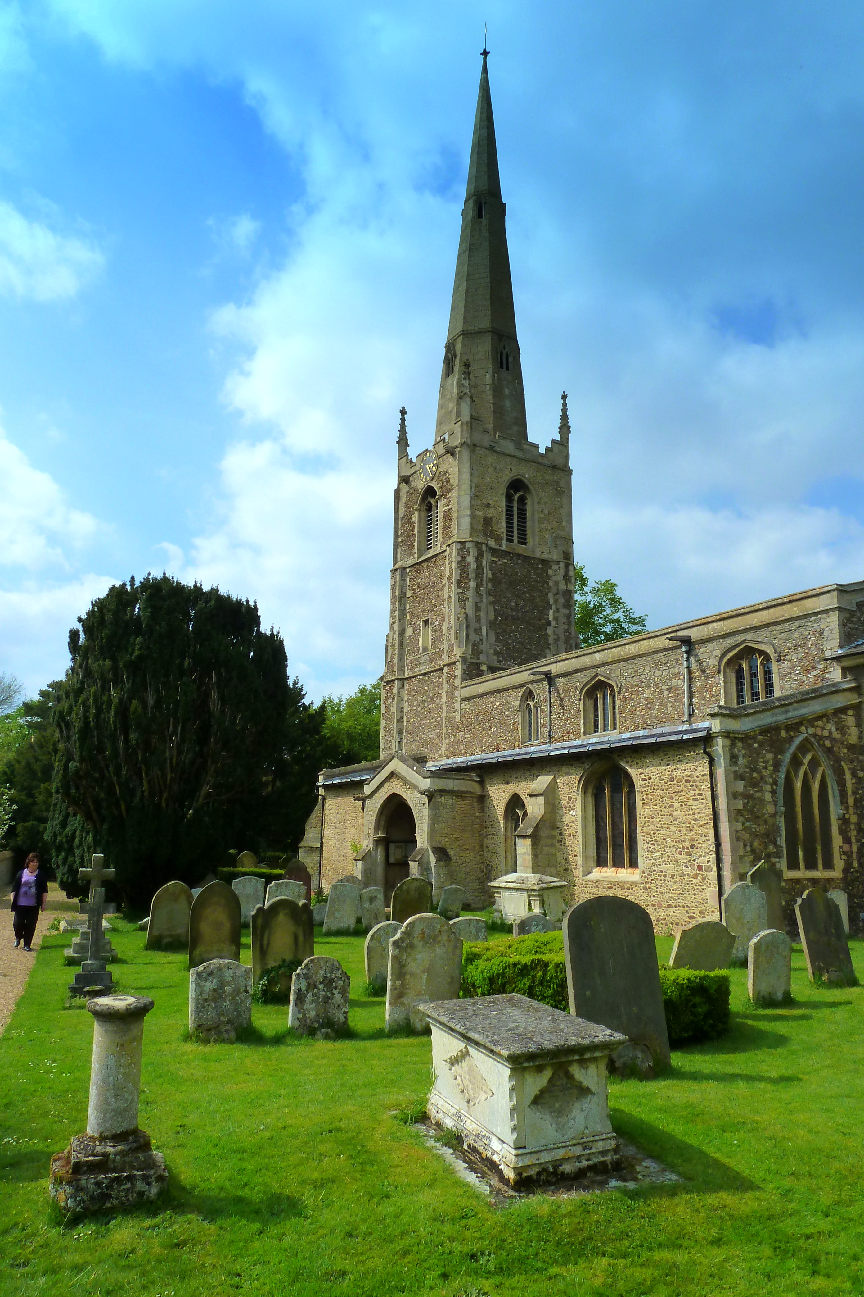
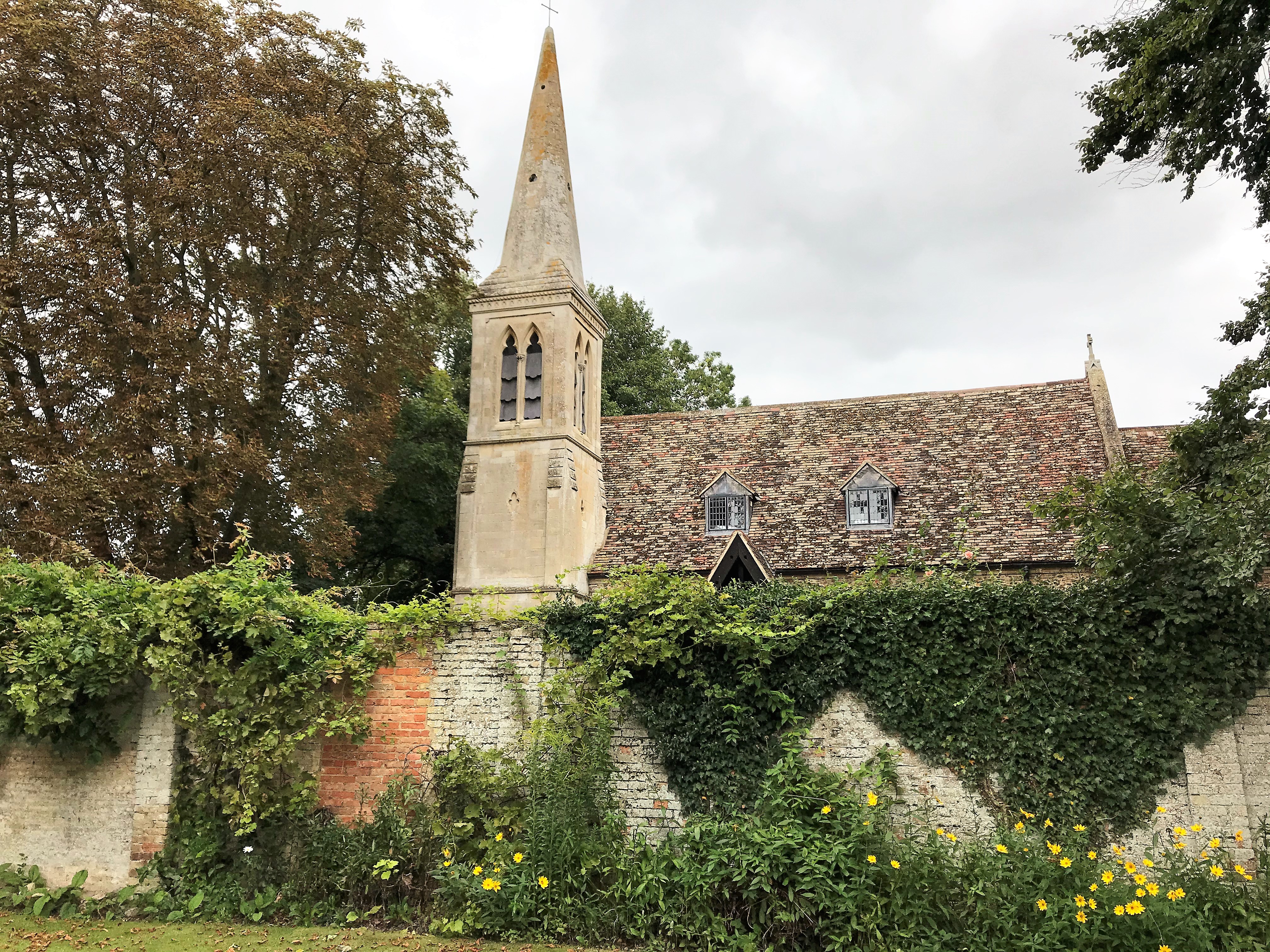
St Margaret's Church, Hemingford Abbots

St Margaret's Church, in Hemingford Abbots is a Church of England church, dedicated to Saint Margaret of Antioch. A church has stood on the site since...

Godmanchester Eastside Common

Godmanchester Eastside Common is a 29.7-hectare (73-acre) biological Site of Special Scientific Interest east of Godmanchester in Cambridgeshire. The site...

Wyton, Cambridgeshire

Wyton is a village and former civil parish, now in the parish of Houghton and Wyton, in Cambridgeshire, England. It lies approximately 2 miles (3 km) east...
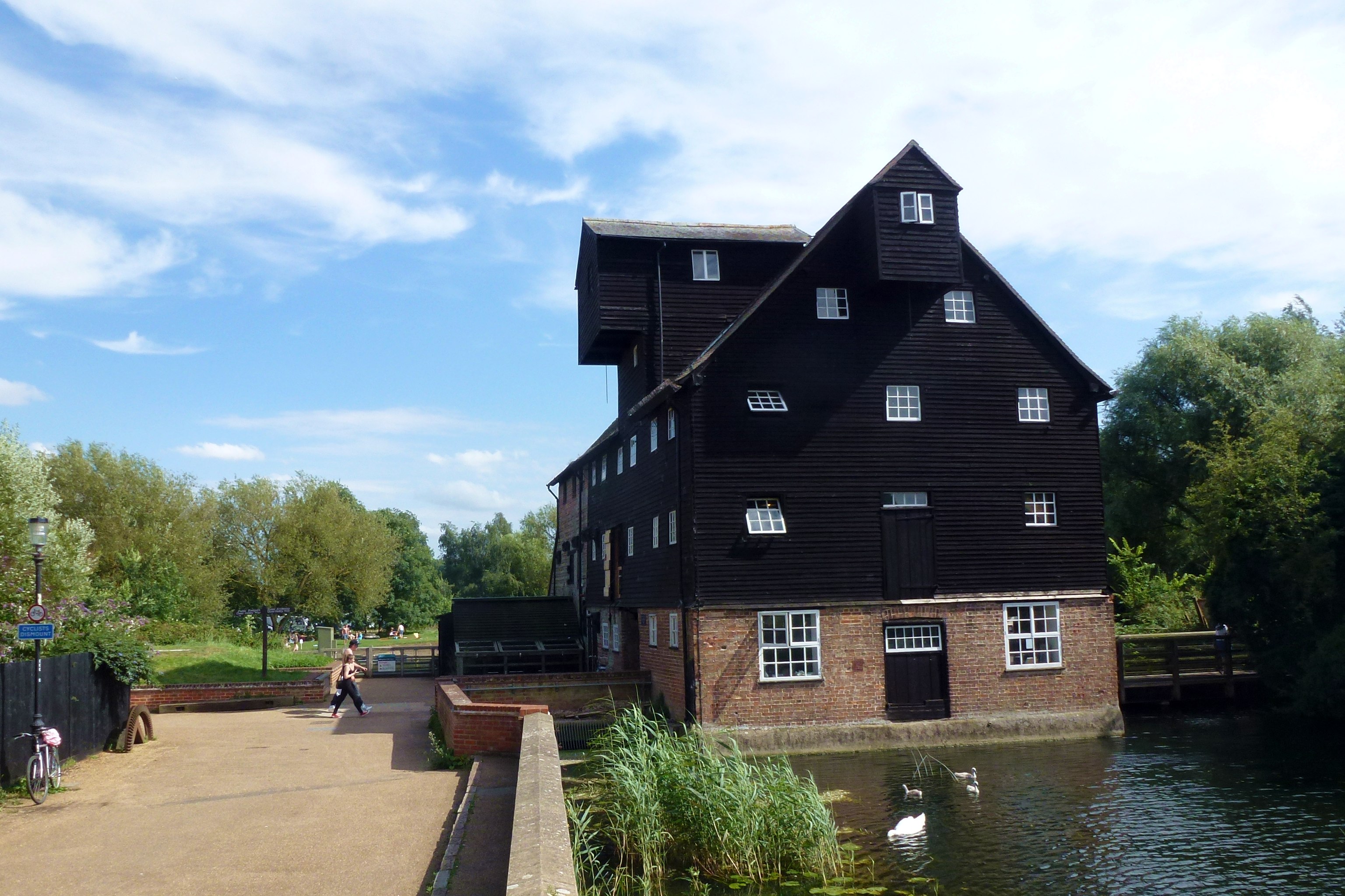
Houghton Mill

Houghton Mill is a water mill located on the Great Ouse in the village of Houghton, Cambridgeshire, England. It is a National Trust property and a Grade...

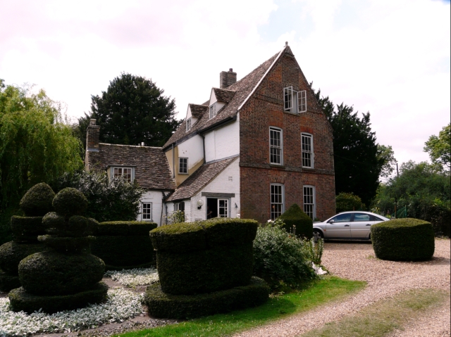
The Manor (Cambridgeshire)

The Manor is a house in the village of Hemingford Grey, Cambridgeshire. It was built in the 1130s and is one of the oldest continuously inhabited houses...
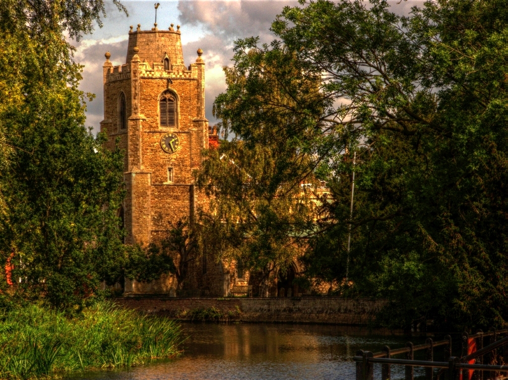
Hemingford Grey

Hemingford Grey is a village and civil parish in Cambridgeshire, England. Hemingford Grey lies approximately 4 miles (6 km) east of Huntingdon. Hemingford...

Houghton, Cambridgeshire

Houghton is a village and former civil parish, now in the parish of Houghton and Wyton, in Cambridgeshire, England, approximately 3 miles (5 km) east...

Houghton Meadows

Houghton Meadows is a 4.7-hectare (12-acre) biological Site of Special Scientific Interest (SSSI) between Houghton and St Ives in Cambridgeshire. The SSSI...

Nearby Amenities

Located within 500m of 52.321036,-0.12601149
Hemingford Abbots
Place: village
Lat/Long: 52.3208715/-0.1195242
Post Box
Post Box Type: pillar
Royal Cypher: EIIR
Royal Cypher Wikidata: Q33102113
Lat/Long: 52.3223511/-0.1190611
Pub
Axe and Compass
Wikidata: Q26615711
Lat/Long: 52.3228011/-0.1194549
Lcn: CambsCC-Huntingdon-StIves
Lat/Long: 52.3229323/-0.1203538
Leisure: playground
Lat/Long: 52.3213586/-0.1193317
Home Farm
Landuse: farm
Note Retag: CS #48756035
Lat/Long: 52.3252471/-0.1267368
Bbq
Lat/Long: 52.3216096/-0.1196911
Public Bookcase
Telephone box library;Used Book Exchange
Booth: K6
Colour: red
Disused Amenity: telephone
Listed Status: Grade II
Man Made: telephone_box
Old Phone Box: yes
Public Bookcase Type: phone_box
Website: http://vimeo.com/72957294
Wikidata: Q26423414
Lat/Long: 52.3223492/-0.1190309
Bench
Lat/Long: 52.3223875/-0.1190587
Entrance: yes
Lat/Long: 52.3223105/-0.1192025
Information: board
Tourism: information
Lat/Long: 52.3223572/-0.1192298
Defibrillator
Defibrillator Location: outside Hemigford Abbots Village Hall, High Street, Hemingford Abbots - to right of entrance
Emergency: defibrillator
Indoor: no
Lat/Long: 52.3223307/-0.1192387
Generator Method: photovoltaic
Generator Output Electricity: yes
Generator Source: solar
Generator Type: solar_photovoltaic_panel
Location: roof
Power: generator
Lat/Long: 52.3217666/-0.1205546
Generator Method: photovoltaic
Generator Output Electricity: yes
Generator Source: solar
Generator Type: solar_photovoltaic_panel
Location: roof
Power: generator
Lat/Long: 52.323765/-0.1228908
Generator Method: photovoltaic
Generator Output Electricity: yes
Generator Source: solar
Generator Type: solar_photovoltaic_panel
Location: roof
Power: generator
Lat/Long: 52.3237437/-0.1228103
The data included in this document is from www.openstreetmap.org. The data is made available under ODbL.

Have you been to Hemingford Park?

Leave your review of Hemingford Park below (or comments, questions and feedback).