Long Plantation
Wood, Forest in Huntingdonshire Huntingdonshire
England
Long Plantation
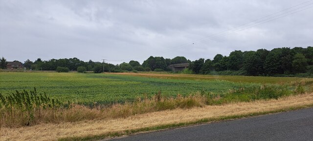
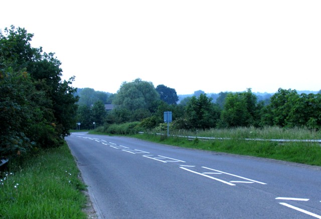
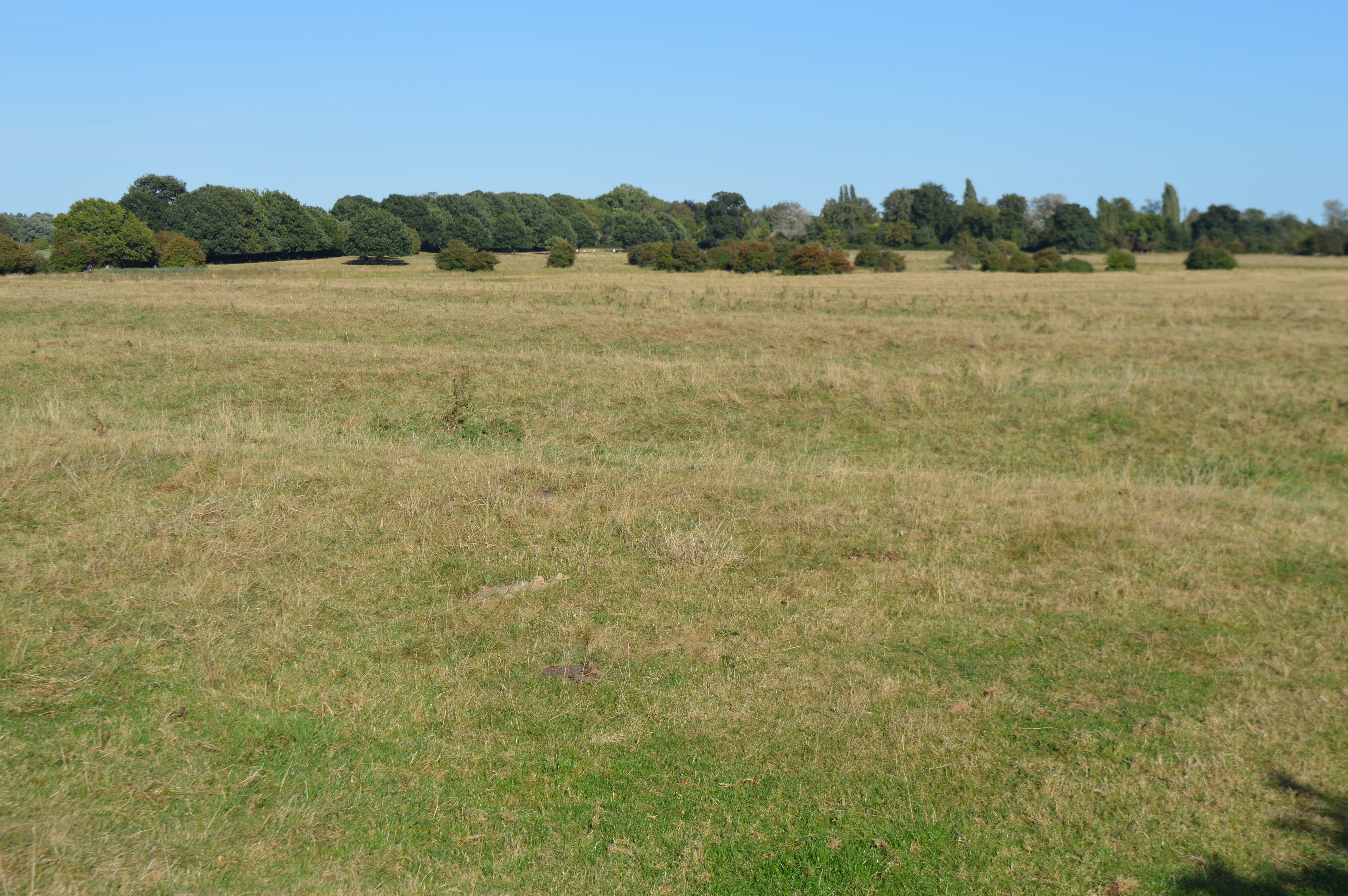
Long Plantation is a large woodland area located in the county of Huntingdonshire, England. Covering an expansive area of approximately 500 acres, this plantation is known for its dense and diverse forest landscape. It is situated in close proximity to the village of Longstanton, offering a tranquil and picturesque setting for nature lovers and outdoor enthusiasts.
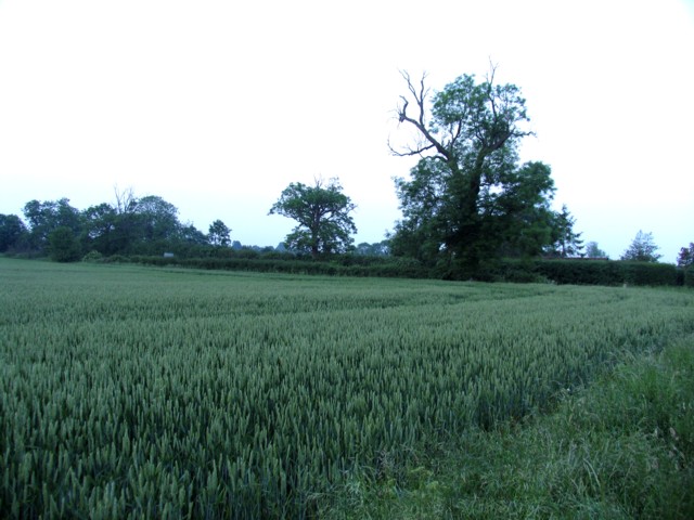
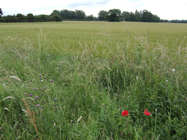
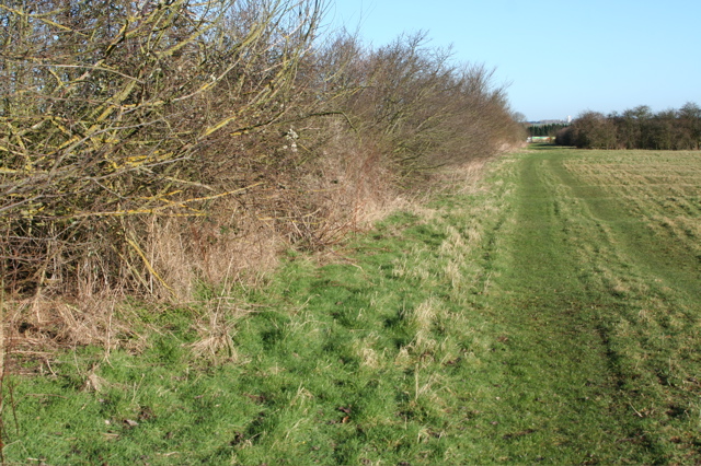
The woodland is predominantly composed of broadleaf trees such as oak, beech, and birch, which provide a rich habitat for various wildlife species. The dense canopy and undergrowth create a haven for numerous bird species, including woodpeckers, owls, and songbirds. Mammals such as deer, foxes, and rabbits can also be found roaming the plantation.
Long Plantation offers a range of recreational activities for visitors. There are several well-maintained trails and paths that meander through the forest, providing opportunities for walking, jogging, and cycling. The plantation is also popular among birdwatchers and nature photographers, who can capture the beauty of the wildlife and flora.
In addition to its natural beauty, Long Plantation is also of historical significance. It is believed to have been a working woodland for centuries, providing timber for various purposes including construction and fuel. The plantation has witnessed changes in land use and ownership over the years, but its natural charm has remained intact.
Overall, Long Plantation in Huntingdonshire is a captivating woodland that offers a peaceful escape from the hustle and bustle of daily life. With its diverse wildlife, well-maintained trails, and historical significance, it is a cherished destination for both locals and visitors seeking a connection with nature.
If you have any feedback on the listing, please let us know in the comments section below.
Long Plantation Images
Images are sourced within 2km of 52.318443/-0.13143248 or Grid Reference TL2770. Thanks to Geograph Open Source API. All images are credited.


Long Plantation is located at Grid Ref: TL2770 (Lat: 52.318443, Lng: -0.13143248)
Administrative County: Cambridgeshire
District: Huntingdonshire
Police Authority: Cambridgeshire
What 3 Words
///landlady.rebounded.spirit. Near Houghton, Cambridgeshire
Nearby Locations
Related Wikis
Godmanchester Eastside Common
Godmanchester Eastside Common is a 29.7-hectare (73-acre) biological Site of Special Scientific Interest east of Godmanchester in Cambridgeshire. The site...
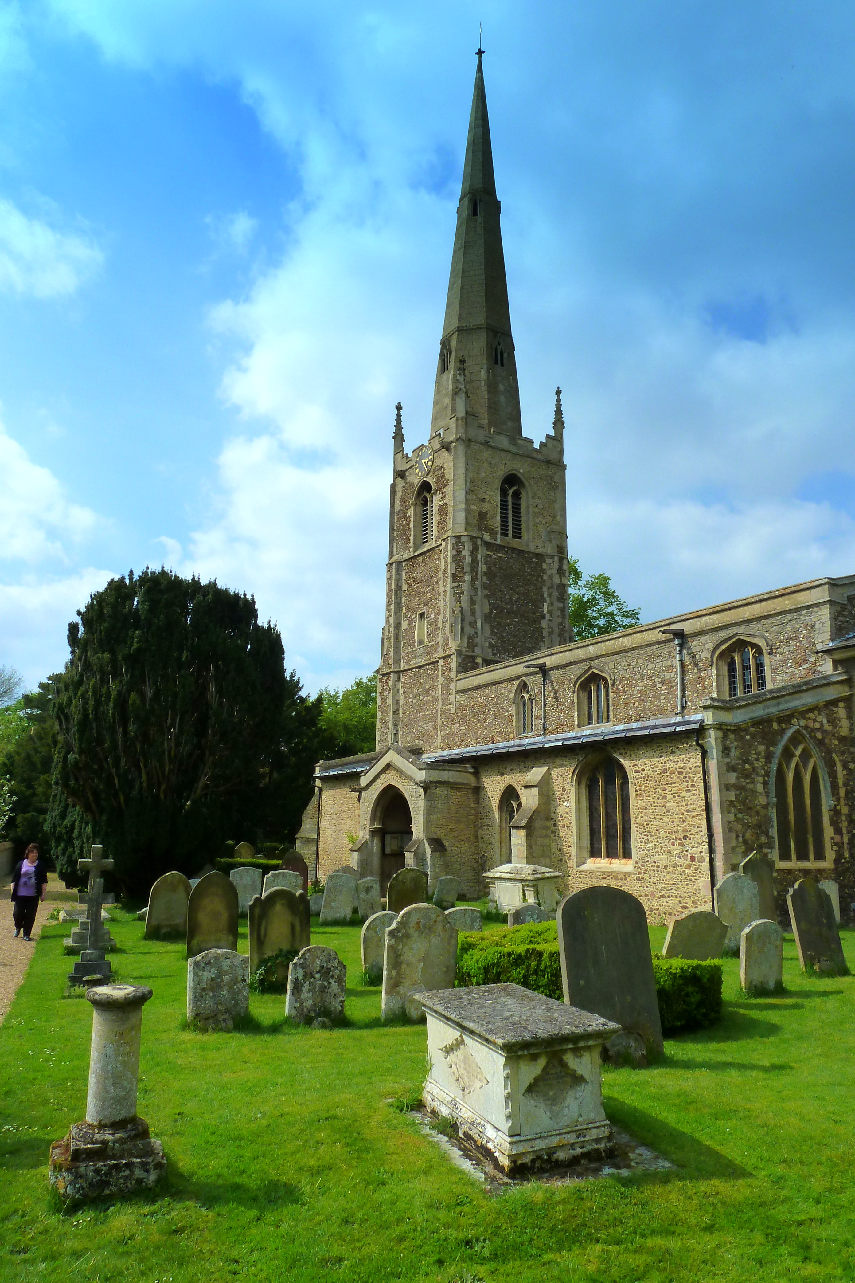
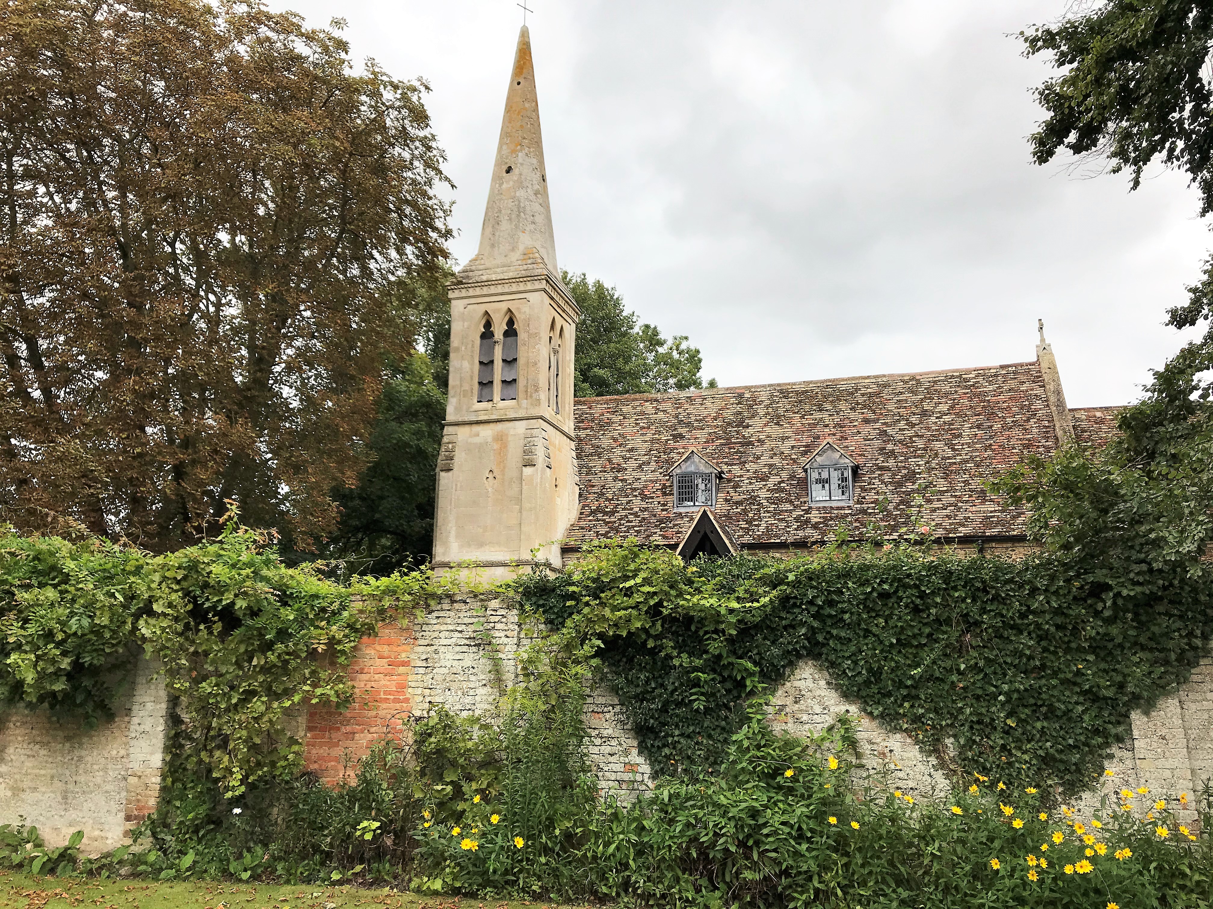
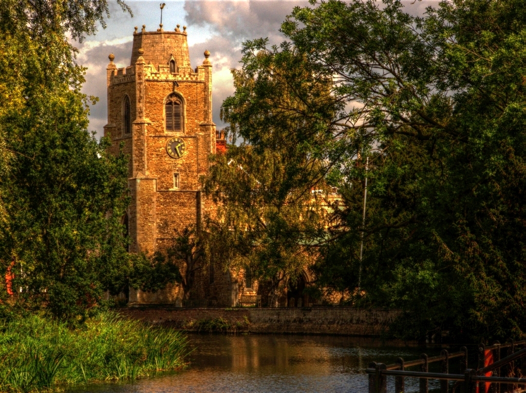
St Margaret's Church, Hemingford Abbots
St Margaret's Church, in Hemingford Abbots is a Church of England church, dedicated to Saint Margaret of Antioch. A church has stood on the site since...
Wyton, Cambridgeshire
Wyton is a village and former civil parish, now in the parish of Houghton and Wyton, in Cambridgeshire, England. It lies approximately 2 miles (3 km) east...
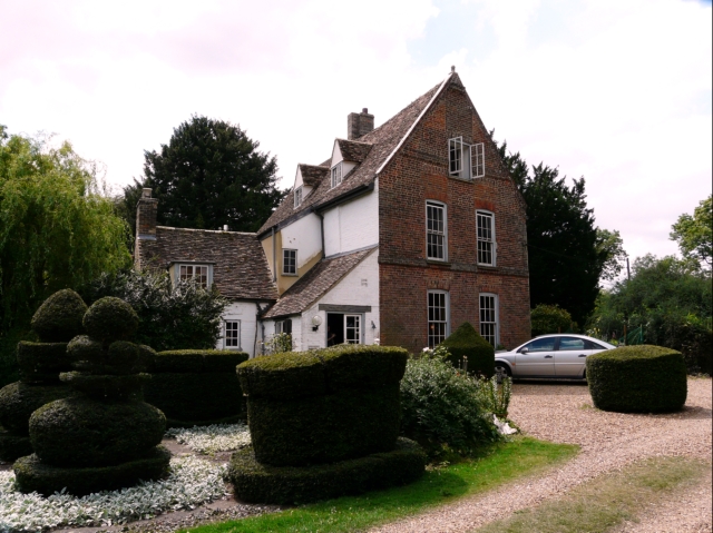
The Manor (Cambridgeshire)
The Manor is a house in the village of Hemingford Grey, Cambridgeshire. It was built in the 1130s and is one of the oldest continuously inhabited houses...
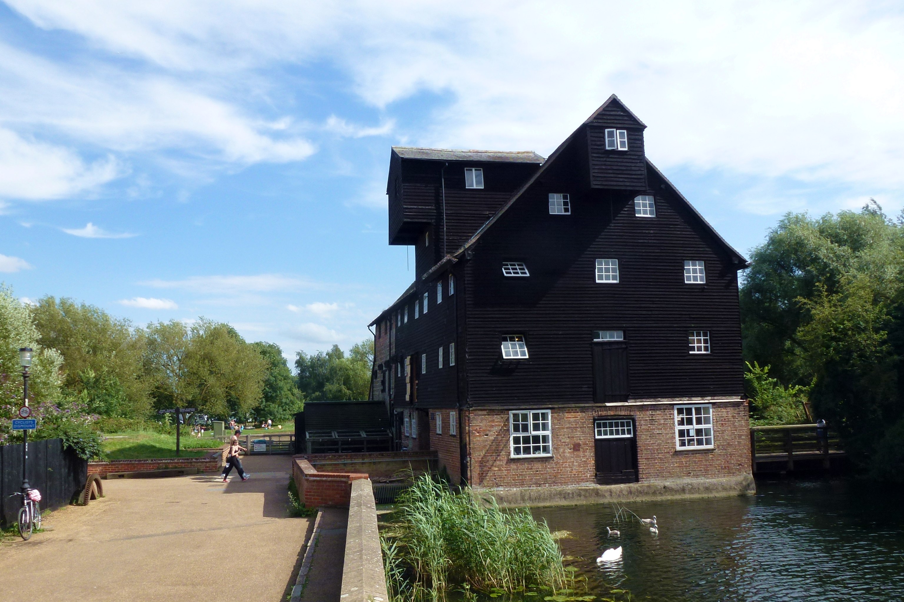
Houghton Mill
Houghton Mill is a water mill located on the Great Ouse in the village of Houghton, Cambridgeshire, England. It is a National Trust property and a Grade...
Hemingford Grey
Hemingford Grey is a village and civil parish in Cambridgeshire, England. Hemingford Grey lies approximately 4 miles (6 km) east of Huntingdon. Hemingford...
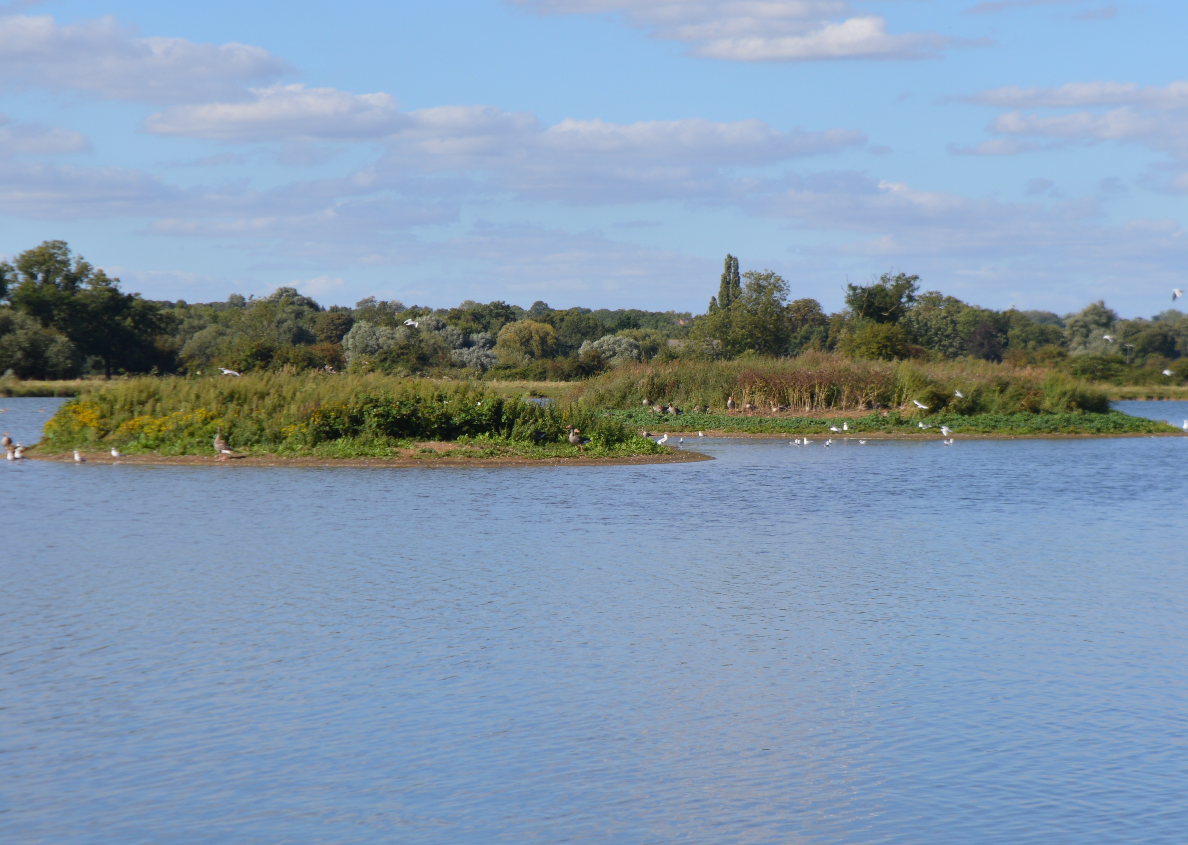
Godmanchester Nature Reserve
Godmanchester Nature Reserve is a 59-hectare nature reserve in Godmanchester in Cambridgeshire, England. It is managed by the Wildlife Trust for Bedfordshire...

Houghton, Cambridgeshire
Houghton is a village and former civil parish, now in the parish of Houghton and Wyton, in Cambridgeshire, England, approximately 3 miles (5 km) east...
Nearby Amenities
Located within 500m of 52.318443,-0.13143248Have you been to Long Plantation?
Leave your review of Long Plantation below (or comments, questions and feedback).