Cowbit Fen

Downs, Moorland in Lincolnshire South Holland

England

Cowbit Fen

Cowbit House Farm Cottage
Cowbit House Farm Cottage Credit: Jonathan Thacker

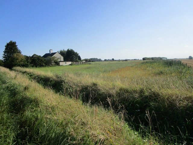
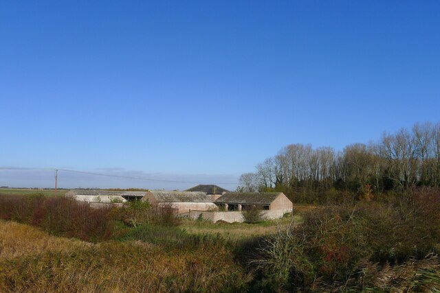
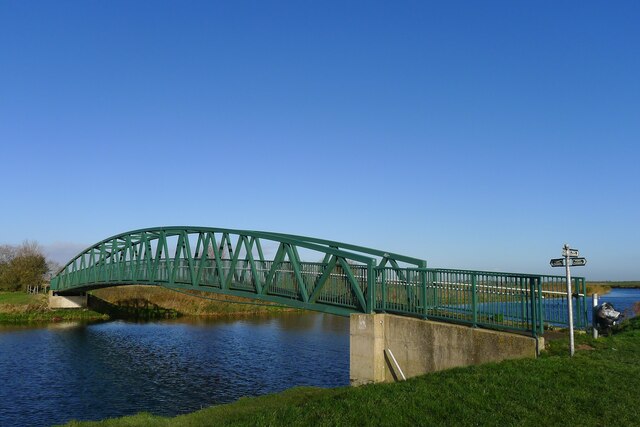
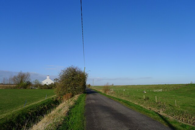
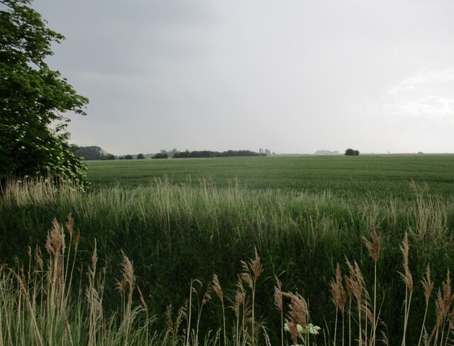
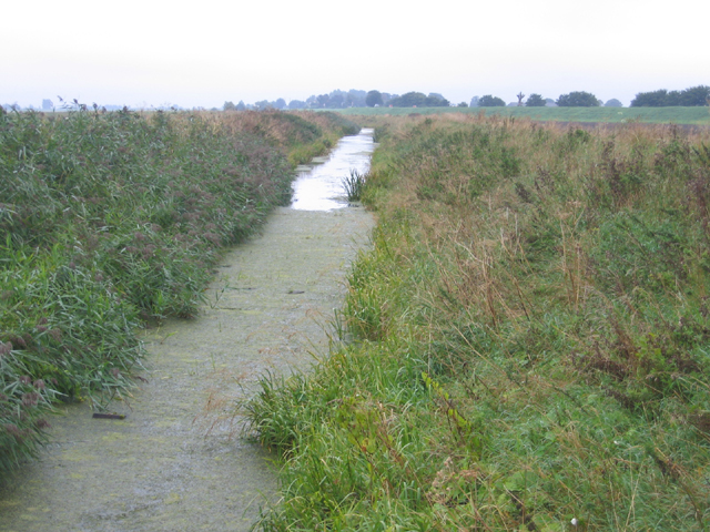
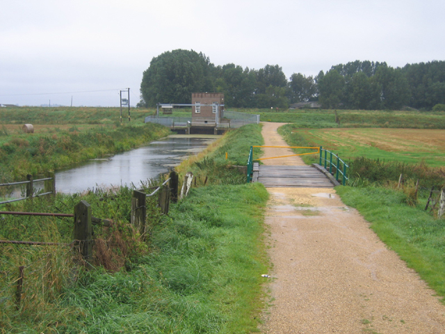
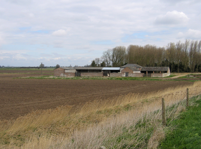
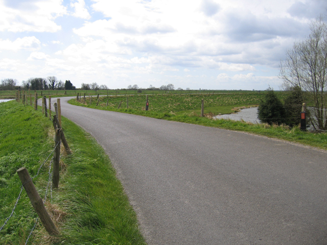
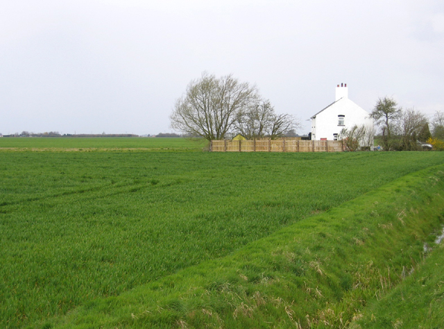
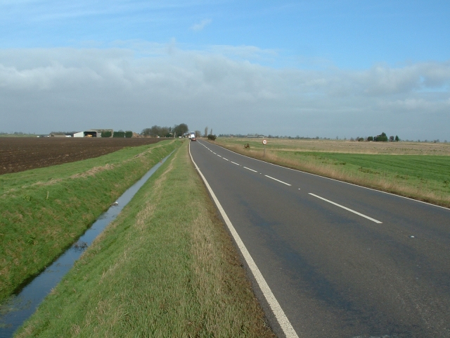
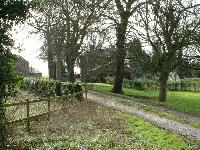
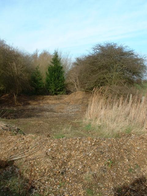
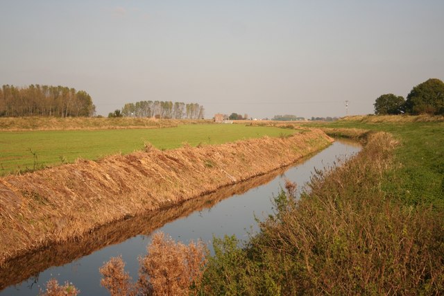
Cowbit Fen is a large area of wetland located in Lincolnshire, England. It is known for its diverse range of flora and fauna, making it a popular destination for birdwatchers and nature enthusiasts. The fen is characterized by its flat, open landscape, with vast expanses of reed beds, marshes, and waterways.

The fen is home to a variety of bird species, including rare and protected birds such as the bittern and the marsh harrier. It also supports a number of plant species that are adapted to the wet conditions, such as water lilies, sedges, and rushes.

Cowbit Fen is an important habitat for wildlife, providing a breeding ground and feeding area for many species. The area is managed by conservation organizations to protect its biodiversity and maintain its ecological value.

Visitors to Cowbit Fen can explore the area on foot or by boat, taking in the sights and sounds of this unique wetland environment. The fen offers a peaceful retreat from the hustle and bustle of urban life, allowing visitors to connect with nature and experience the beauty of the Lincolnshire countryside.

If you have any feedback on the listing, please let us know in the comments section below.
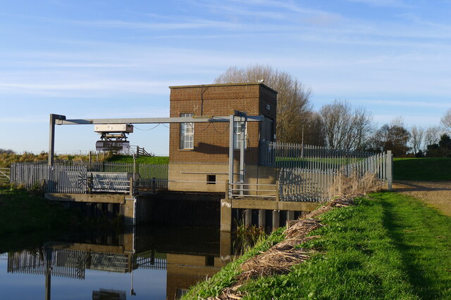
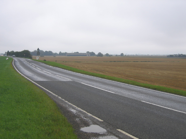
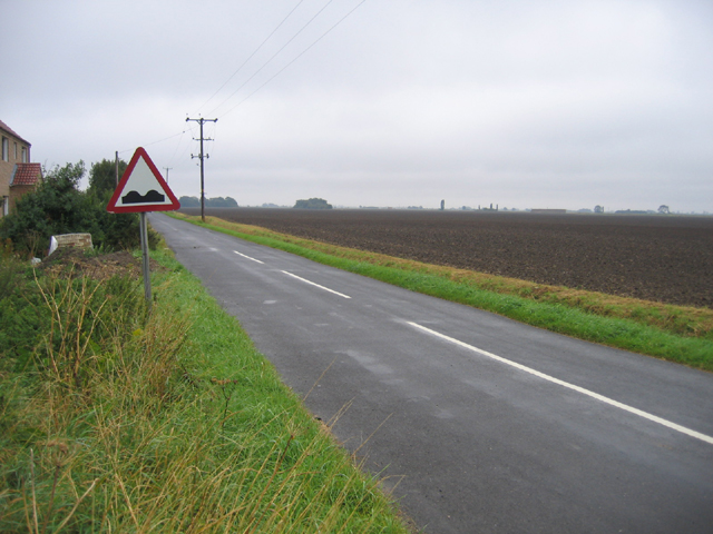
Cowbit Fen Images

Images are sourced within 2km of 52.722237/-0.12816686 or Grid Reference TF2615. Thanks to Geograph Open Source API. All images are credited.

Cowbit House Farm Cottage
Congreaves Farm
Congreaves Farm
Four Mile Bar bridge Taking footpaths on the right bank of the Welland over to Welland Bank road. More useful, perhaps, the 1952 OS map shows an earlier bridge here connected to a pub called the Four Mile Bar on the other side.
Four Mile Bar bridge
Taking footpaths on the right bank of the Welland over to Welland Bank road. More useful, perhaps, the 1952 OS map shows an earlier bridge here connected to a pub called the Four Mile Bar on the other side.
Cradge Bank Road approaching Cowbit Cottage Following Cycle Route 12 along the left bank of the Welland north from Crowland. Initially the road ran along the river embankment, but now runs below the embankment (visible on the right), so the river is no longer visible.
Cradge Bank Road approaching Cowbit Cottage
Following Cycle Route 12 along the left bank of the Welland north from Crowland. Initially the road ran along the river embankment, but now runs below the embankment (visible on the right), so the river is no longer visible.
The Crowland and Cowbit Wash pumping station Two pumps with a combined capacity of 1.55 cubic metres per second <span class="nowrap"><a title="https://www.wellandidb.org.uk/about-us/pumping-stations/" rel="nofollow ugc noopener" href="https://www.wellandidb.org.uk/about-us/pumping-stations/">Link</a><img style="margin-left:2px;" alt="External link" title="External link - shift click to open in new window" src="https://s1.geograph.org.uk/img/external.png" width="10" height="10"/></span> pumping water from the New River into the River Welland
The Crowland and Cowbit Wash pumping station
Two pumps with a combined capacity of 1.55 cubic metres per second LinkExternal link pumping water from the New River into the River Welland
Wheat field off Bellingham's Drove
Cowbit Wash Barrier Bank, Lincs View NE from Brotherhouse Bar along the A1074 towards Cowbit.
Cowbit Wash Barrier Bank, Lincs
View NE from Brotherhouse Bar along the A1074 towards Cowbit.
Queen's Bank and Great Postland, Crowland, Lincs
New River, Cowbit Wash, Lincs In the SE corner of the square; the small New River bounds the eastern side of the flood-relief wash and the raised River Welland the western side.
New River, Cowbit Wash, Lincs
In the SE corner of the square; the small New River bounds the eastern side of the flood-relief wash and the raised River Welland the western side.
Pumping Station, Cowbit Wash, Lincs Pumping from the low-level New River into the raised River Welland; view from Wash Bank.
Pumping Station, Cowbit Wash, Lincs
Pumping from the low-level New River into the raised River Welland; view from Wash Bank.
Congreaves Farm, Deeping St Nicholas, Lincs – view from the Welland Bank.
Congreaves Farm, Deeping St Nicholas, Lincs
– view from the Welland Bank.
The Gull, River Welland, Deeping St Nicholas, Lincs The constructed semi-circular curve in the river bank, called a gull, contains a small fishery.
The Gull, River Welland, Deeping St Nicholas, Lincs
The constructed semi-circular curve in the river bank, called a gull, contains a small fishery.
Cottage by the Welland Bank, Deeping St Nicholas, Lincs
A1073 south of Cowbit This busy main road runs across the South Holland fens between Peterborough and Spalding.
A1073 south of Cowbit
This busy main road runs across the South Holland fens between Peterborough and Spalding.
Queen's Bank farm, Moulton West Fen A pleasant and prosperous farmhouse in the South Holland fens.
Queen's Bank farm, Moulton West Fen
A pleasant and prosperous farmhouse in the South Holland fens.
Old railway crossing, Queen's Bank All that remains of the old London and North Eastern Railway, Queen's Bank, Moulton West Fen.
Old railway crossing, Queen's Bank
All that remains of the old London and North Eastern Railway, Queen's Bank, Moulton West Fen.
New River drain Looking east towards the pumping station
New River drain
Looking east towards the pumping station
St.Guthlac's Cross St.Guthlac was the hermit who inspired the foundation of Crowland Abbey in AD 714. The stone inscribed 'HANC PETRA GUTHLAC' is thought to be one of a number of boundary markers indicating the limit of influence by Crowland Abbey in medieval times
St.Guthlac's Cross
St.Guthlac was the hermit who inspired the foundation of Crowland Abbey in AD 714. The stone inscribed 'HANC PETRA GUTHLAC' is thought to be one of a number of boundary markers indicating the limit of influence by Crowland Abbey in medieval times
Show me another place!

Cowbit Fen is located at Grid Ref: TF2615 (Lat: 52.722237, Lng: -0.12816686)

Administrative County: Lincolnshire

District: South Holland

Police Authority: Lincolnshire

What 3 Words

///octagonal.vanished.scoots. Near Cowbit, Lincolnshire

Nearby Locations

Cowbit Fen

Related Wikis

Peak Hill, Lincolnshire

Peak Hill is a hamlet in the South Holland district of Lincolnshire, England. It is situated 4 miles (6 km) south from Spalding and 10 miles (16 km) north...

Cowbit

Cowbit (locally pronounced Cubbit) is a village and civil parish in the South Holland district of Lincolnshire, England. The population of the civil parish...

Cowbit railway station

Cowbit railway station was a station in Cowbit, Lincolnshire, England. It was located on the route between Spalding and March. == History == The station...

Fitton End

Fitton End is a hamlet in the civil parish of Newton-in-the-Isle, in the Fenland district, in the county of Cambridgeshire, England. It has a population...

Nearby Amenities

Located within 500m of 52.722237,-0.12816686
Parking
Lat/Long: 52.723017/-0.1248357
Bellesmere Farm
Place: farm
Source: Bing
Lat/Long: 52.7256188/-0.1269411
The data included in this document is from www.openstreetmap.org. The data is made available under ODbL.

Have you been to Cowbit Fen?

Leave your review of Cowbit Fen below (or comments, questions and feedback).