Belmont Rest Garden
Downs, Moorland in Surrey
England
Belmont Rest Garden

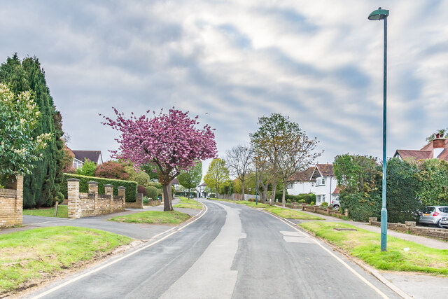
Belmont Rest Garden, located in Surrey, England, is a picturesque and serene natural space that offers visitors a tranquil escape from the bustle of urban life. Situated in the vicinity of the Downs and Moorland, this garden is renowned for its stunning views and diverse flora.
Covering an area of approximately 20 acres, Belmont Rest Garden boasts a variety of landscapes, including rolling meadows, dense woodlands, and charming gardens. The garden's well-maintained pathways allow visitors to explore its many hidden corners and discover its unique features. Along the way, benches and seating areas are strategically placed, providing ample opportunities for relaxation and contemplation.
The garden showcases an impressive collection of plant species, with each season offering its own vibrant display. Spring brings an explosion of colorful flowers, including daffodils, tulips, and cherry blossoms. In summer, the garden is adorned with a plethora of roses, lavender, and other fragrant blooms. Autumn paints the landscape with warm hues as the leaves change, while winter reveals a serene and peaceful atmosphere.
Belmont Rest Garden is not only a haven for nature enthusiasts but also a popular destination for recreational activities. Families can enjoy picnics on the spacious lawns, and children can play in the designated play areas. Additionally, the garden hosts various events throughout the year, such as art exhibitions, open-air concerts, and guided nature walks.
Overall, Belmont Rest Garden offers a respite from the demands of everyday life, allowing visitors to immerse themselves in the beauty of nature and find solace in its peaceful surroundings.
If you have any feedback on the listing, please let us know in the comments section below.
Belmont Rest Garden Images
Images are sourced within 2km of 51.344113/-0.20375406 or Grid Reference TQ2562. Thanks to Geograph Open Source API. All images are credited.


![Junction of Fairway and Pine Walk Junction of two residential roads first marked on the 1935 25 inch map. On the far left of the photo is the pillar box in <a href="https://www.geograph.org.uk/photo/7486869">TQ2661 : Pillar box, Junction of Fairway and Pine Walk</a>].](https://s2.geograph.org.uk/geophotos/07/48/68/7486866_1a0767b9.jpg)


Belmont Rest Garden is located at Grid Ref: TQ2562 (Lat: 51.344113, Lng: -0.20375406)
Unitary Authority: Sutton
Police Authority: Metropolitan
What 3 Words
///trash.snail.edge. Near Sutton, London
Nearby Locations
Related Wikis

Belmont, Sutton
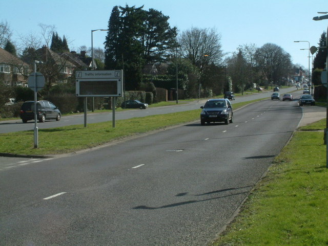
Belmont is a village in the London Borough of Sutton, in South London, England. It is located off the A217 road and near to Banstead Downs in Surrey. It...
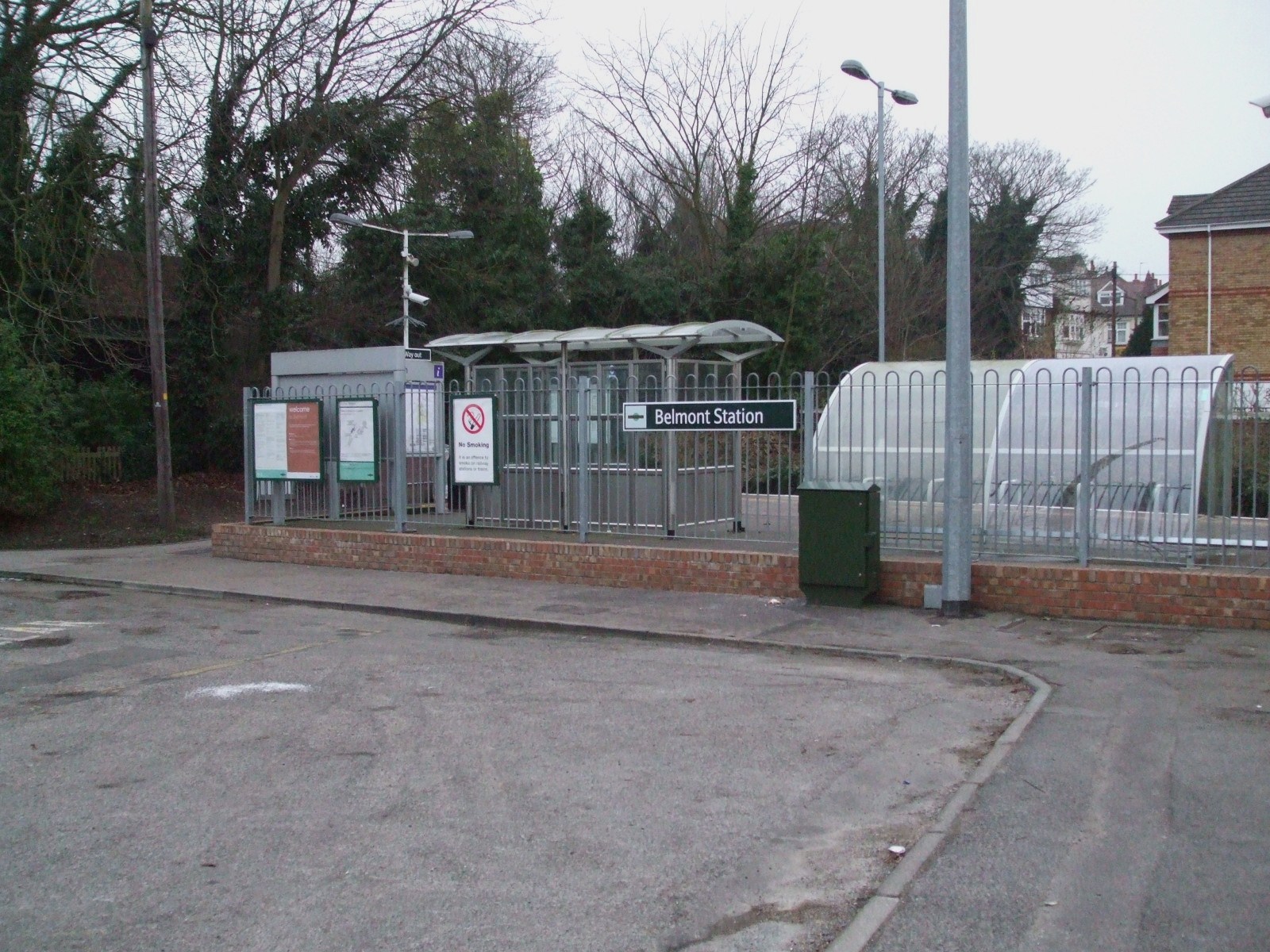
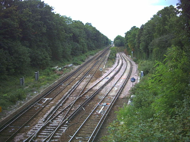
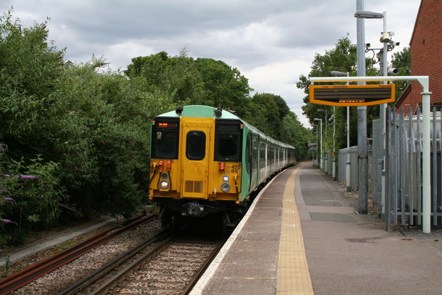
Belmont railway station (Sutton)
Belmont railway station serves the village of Belmont in the London Borough of Sutton in south London. The station is located on the Epsom Downs line and...
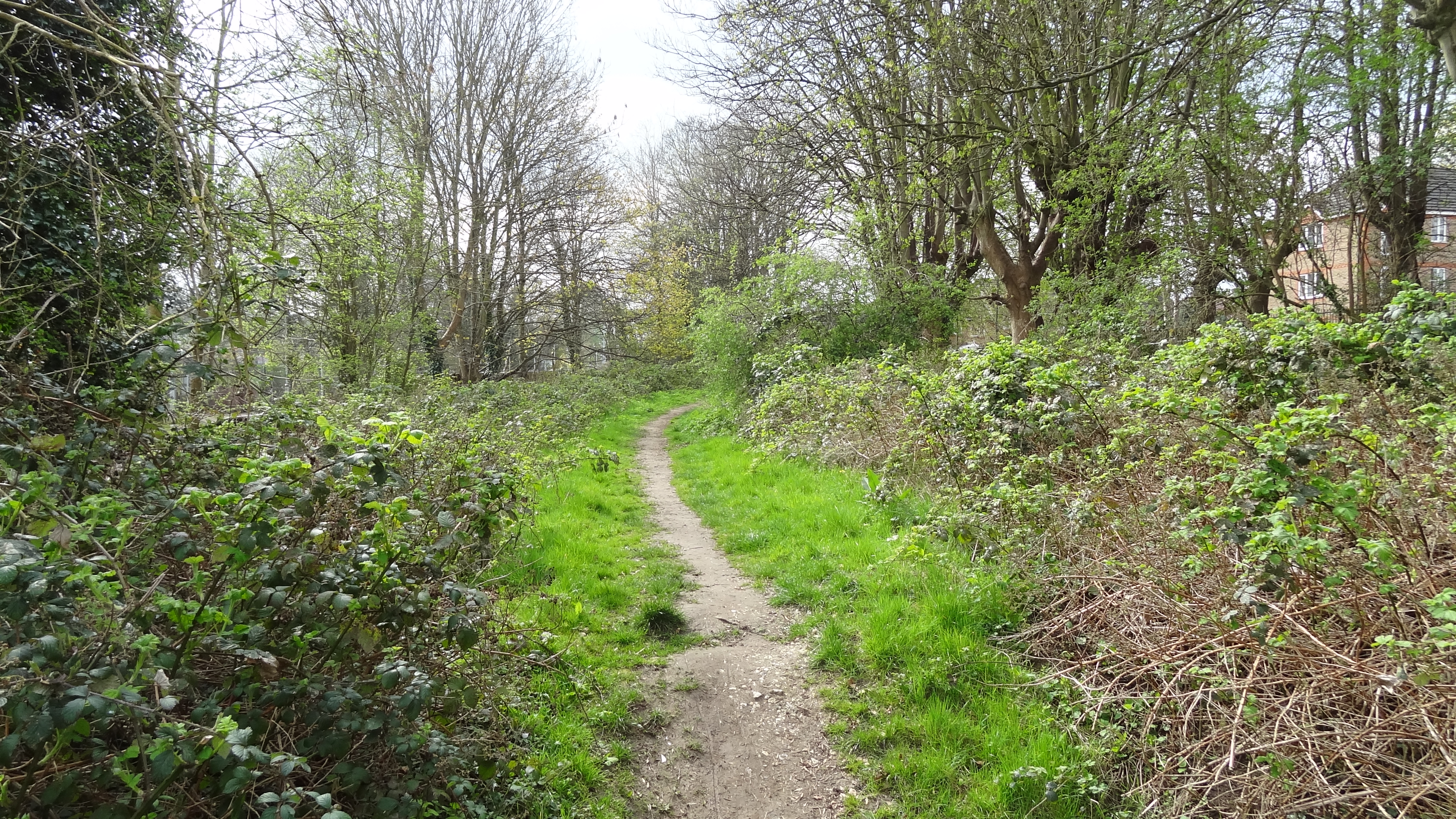
Belmont Pastures
Belmont Pastures is a 1.3 hectare Local Nature Reserve and Site of Borough Importance for Nature Conservation, Grade II, in Belmont in the London Borough...

Shanklin Village
Shanklin Village, also known as the Shanklin Estate or Shanklin Village Estate is a council housing estate in Sutton, South London, sited between Brighton...
A217 road
The A217 is a road in London and Surrey in England. It runs north–south. It runs from Kings Road in Fulham, London, crosses the Thames at Wandsworth Bridge...
Harris Academy Sutton
Harris Academy Sutton is a coeducational secondary school in Sutton in the London Borough of Sutton, England. It is part of the Harris Federation. It...
Epsom Downs Branch
The Epsom Downs Branch is a railway line in the United Kingdom. The line runs from Sutton to Epsom Downs and is about 3+3⁄4 miles (6.0 km) long. The line...
Overton Grange School
Overton Grange School is a mixed academy school in Sutton, Greater London, England. The school opened in 1997 with its first intake. Planning for a new...
Nearby Amenities
Located within 500m of 51.344113,-0.20375406Have you been to Belmont Rest Garden?
Leave your review of Belmont Rest Garden below (or comments, questions and feedback).