Belmont
Settlement in Surrey
England
Belmont

Belmont is a small residential area located in the borough of Surrey, England. Situated in the southern part of the county, Belmont is a predominantly suburban neighborhood with a population of around 7,000 people. It is part of the larger town of Sutton, which lies to the west of Belmont.
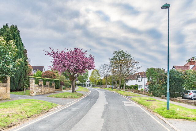
The area is well-known for its picturesque surroundings, as it is nestled between the North Downs and the sprawling green spaces of Banstead Downs. This provides residents with ample opportunities for outdoor activities such as walking, jogging, and cycling. Belmont also benefits from its close proximity to Epsom Downs Racecourse, a renowned horse racing venue.
Belmont is primarily a residential area, with a mix of housing options including detached and semi-detached houses, as well as some apartment complexes. The neighborhood boasts a range of amenities, including local shops, restaurants, and pubs, serving the needs of its residents. Additionally, there are several schools in the area, offering education from primary to secondary levels.
Transport links in Belmont are convenient, with several bus routes connecting the area to nearby towns and train stations. The A217 road runs through Belmont, providing easy access to the wider road network. Sutton station, which is located nearby, offers regular train services to London and other major cities.
Overall, Belmont offers a peaceful and family-friendly environment, with its attractive surroundings, range of amenities, and excellent transport links.
If you have any feedback on the listing, please let us know in the comments section below.
Belmont Images
Images are sourced within 2km of 51.347226/-0.199348 or Grid Reference TQ2562. Thanks to Geograph Open Source API. All images are credited.


![Junction of Fairway and Pine Walk Junction of two residential roads first marked on the 1935 25 inch map. On the far left of the photo is the pillar box in <a href="https://www.geograph.org.uk/photo/7486869">TQ2661 : Pillar box, Junction of Fairway and Pine Walk</a>].](https://s2.geograph.org.uk/geophotos/07/48/68/7486866_1a0767b9.jpg)


Belmont is located at Grid Ref: TQ2562 (Lat: 51.347226, Lng: -0.199348)
Unitary Authority: Sutton
Police Authority: Metropolitan
What 3 Words
///bunch.sounds.extra. Near Sutton, London
Nearby Locations
Related Wikis

Shanklin Village
Shanklin Village, also known as the Shanklin Estate or Shanklin Village Estate is a council housing estate in Sutton, South London, sited between Brighton...
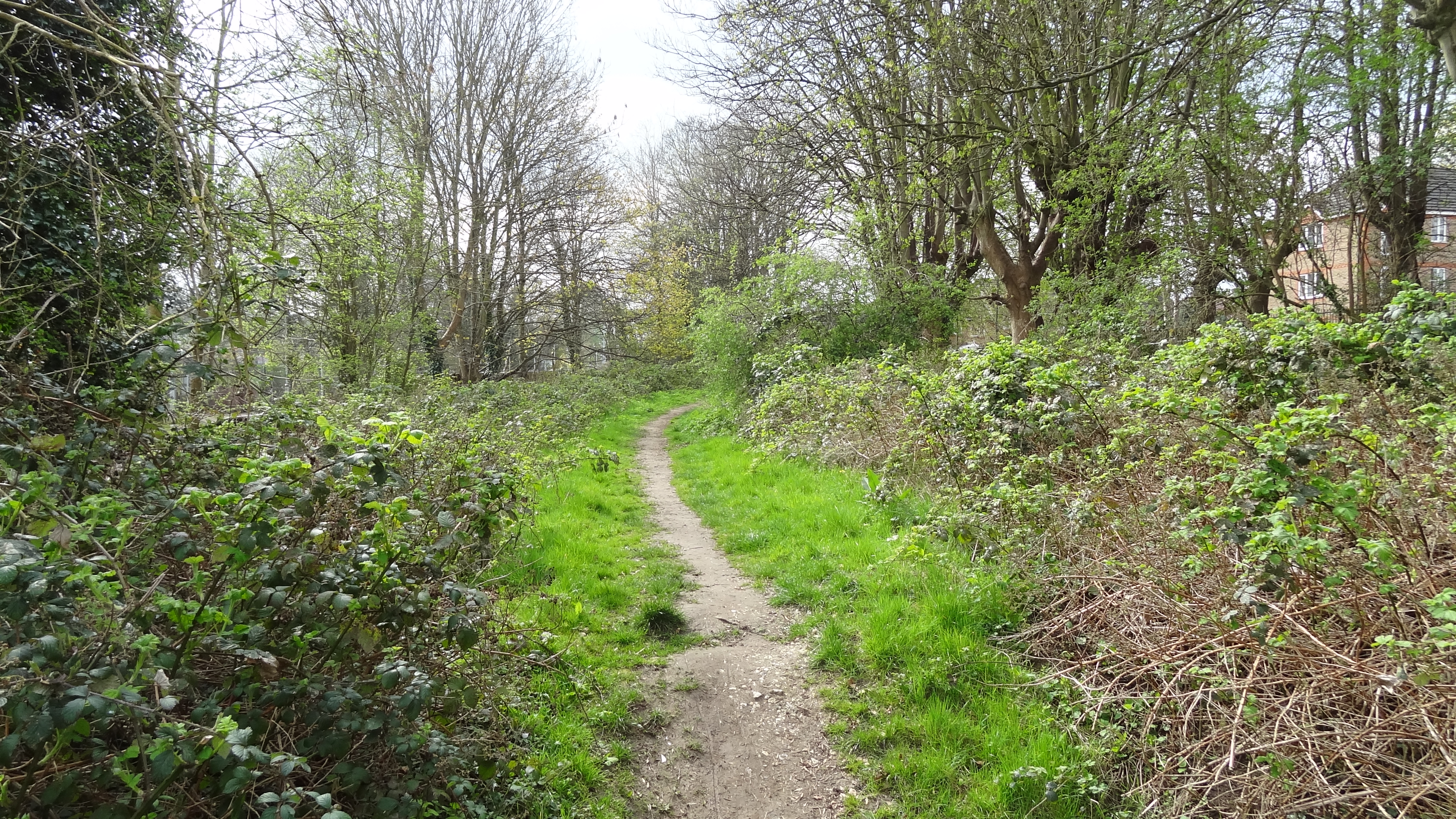
Belmont Pastures
Belmont Pastures is a 1.3 hectare Local Nature Reserve and Site of Borough Importance for Nature Conservation, Grade II, in Belmont in the London Borough...
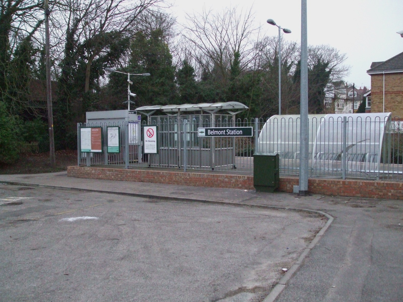
Belmont railway station (Sutton)
Belmont railway station serves the village of Belmont in the London Borough of Sutton in south London. The station is located on the Epsom Downs line and...
Harris Academy Sutton
Harris Academy Sutton is a coeducational secondary school in Sutton in the London Borough of Sutton, England. It is part of the Harris Federation. It...
Nearby Amenities
Located within 500m of 51.347226,-0.199348Have you been to Belmont?
Leave your review of Belmont below (or comments, questions and feedback).