Bygrave Common
Downs, Moorland in Hertfordshire North Hertfordshire
England
Bygrave Common
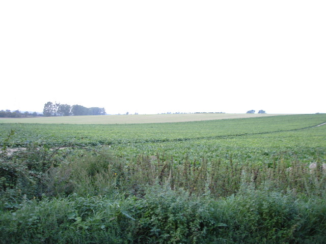
Bygrave Common is a picturesque area located in Hertfordshire, England. It is a protected natural reserve covering an area of approximately 120 acres and is characterized by its diverse landscapes, including downs and moorland.
The common is mainly composed of grassland and heathland, with patches of woodland scattered throughout. It boasts a rich diversity of flora and fauna, making it an important habitat for many species. Visitors can expect to see a variety of wildflowers, such as heather, gorse, and orchids, which add vibrant colors to the landscape. The common is also home to a range of bird species, including skylarks, meadow pipits, and stonechats, making it a haven for birdwatchers.
Bygrave Common offers several walking trails, allowing visitors to explore its natural beauty. The paths wind through the open grasslands, providing stunning views of the surrounding countryside. The common is well-maintained, with designated picnic areas and benches where visitors can relax and enjoy the peaceful ambiance.
The conservation of Bygrave Common is overseen by the Hertfordshire and Middlesex Wildlife Trust, which works tirelessly to protect its unique habitats and wildlife. The trust also organizes educational events and guided walks to raise awareness about the importance of preserving this natural gem.
Overall, Bygrave Common is a captivating location that showcases the beauty and diversity of Hertfordshire's countryside. Its tranquil atmosphere, scenic vistas, and abundant wildlife make it a must-visit destination for nature enthusiasts and those seeking a peaceful retreat.
If you have any feedback on the listing, please let us know in the comments section below.
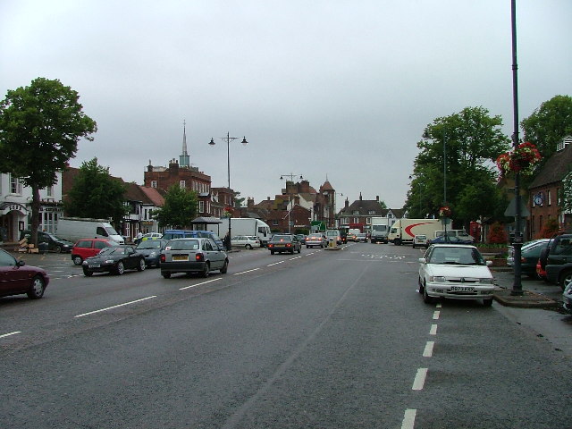
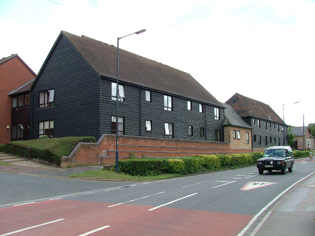
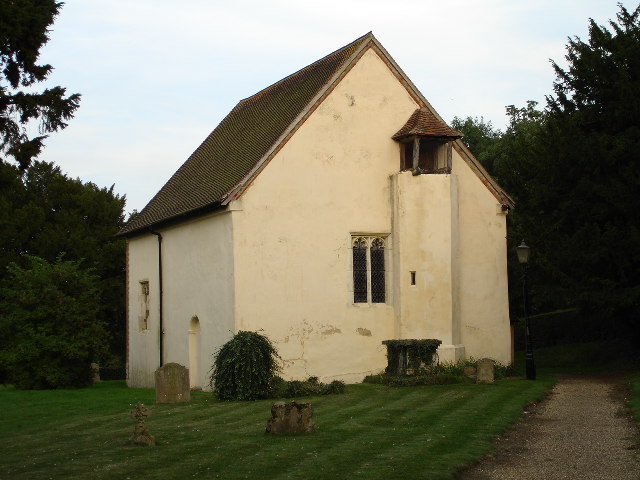
Bygrave Common Images
Images are sourced within 2km of 51.999951/-0.17796887 or Grid Reference TL2535. Thanks to Geograph Open Source API. All images are credited.


Bygrave Common is located at Grid Ref: TL2535 (Lat: 51.999951, Lng: -0.17796887)
Administrative County: Hertfordshire
District: North Hertfordshire
Police Authority: Hertfordshire
What 3 Words
///dices.broken.cooks. Near Baldock, Hertfordshire
Nearby Locations
Related Wikis
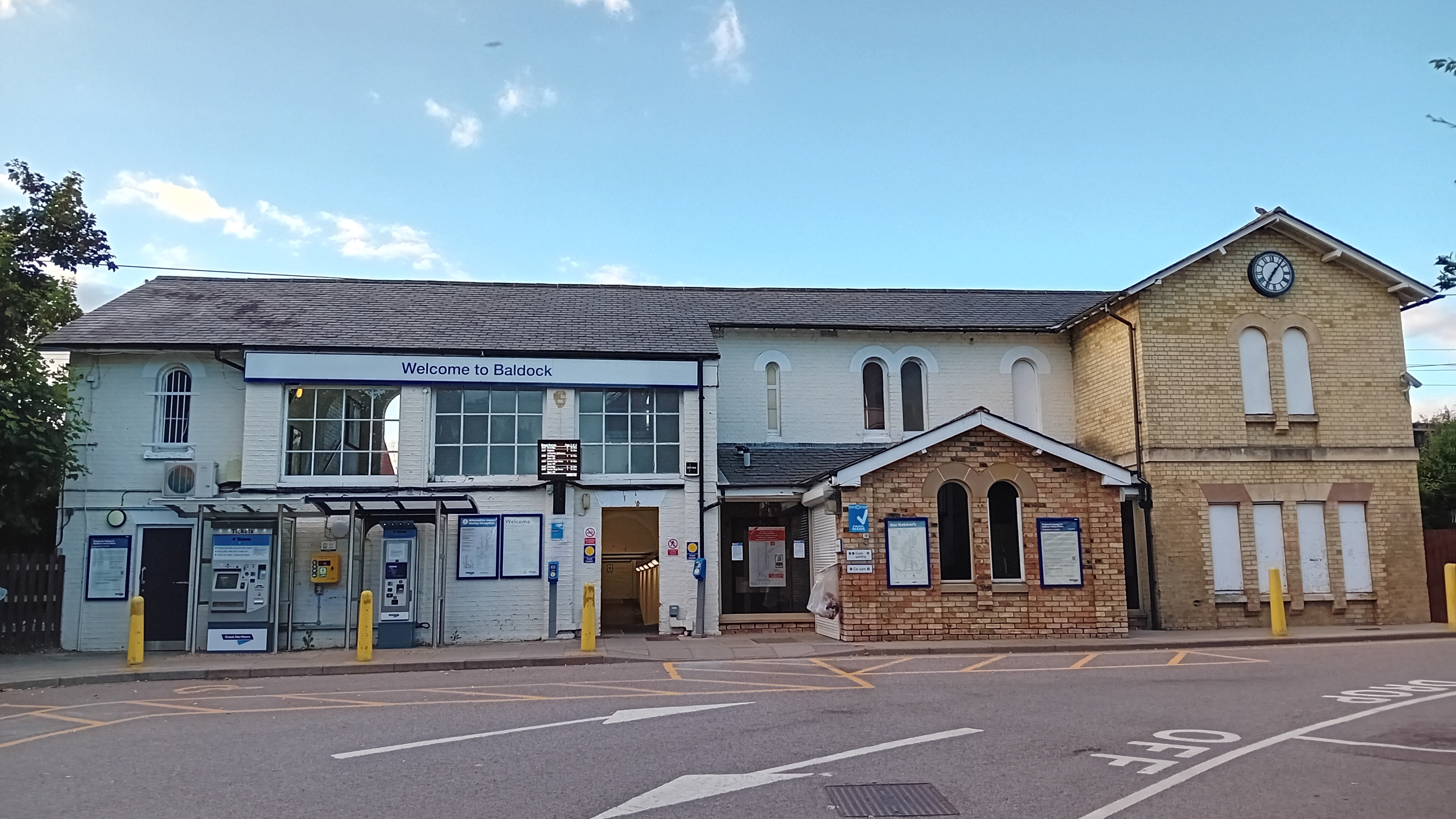
Baldock railway station
Baldock railway station serves the historic market town of Baldock in Hertfordshire, England. It is on the Cambridge Line, 36 miles 47 chains (58.9 km...
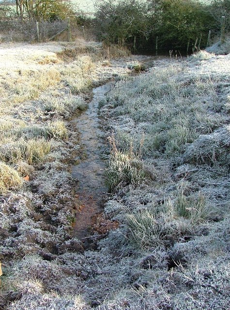
Ivel Springs
Ivel Springs is a 15.4 hectare Local Nature Reserve in Baldock in Hertfordshire. It is owned and managed by North Hertfordshire District Council, assisted...
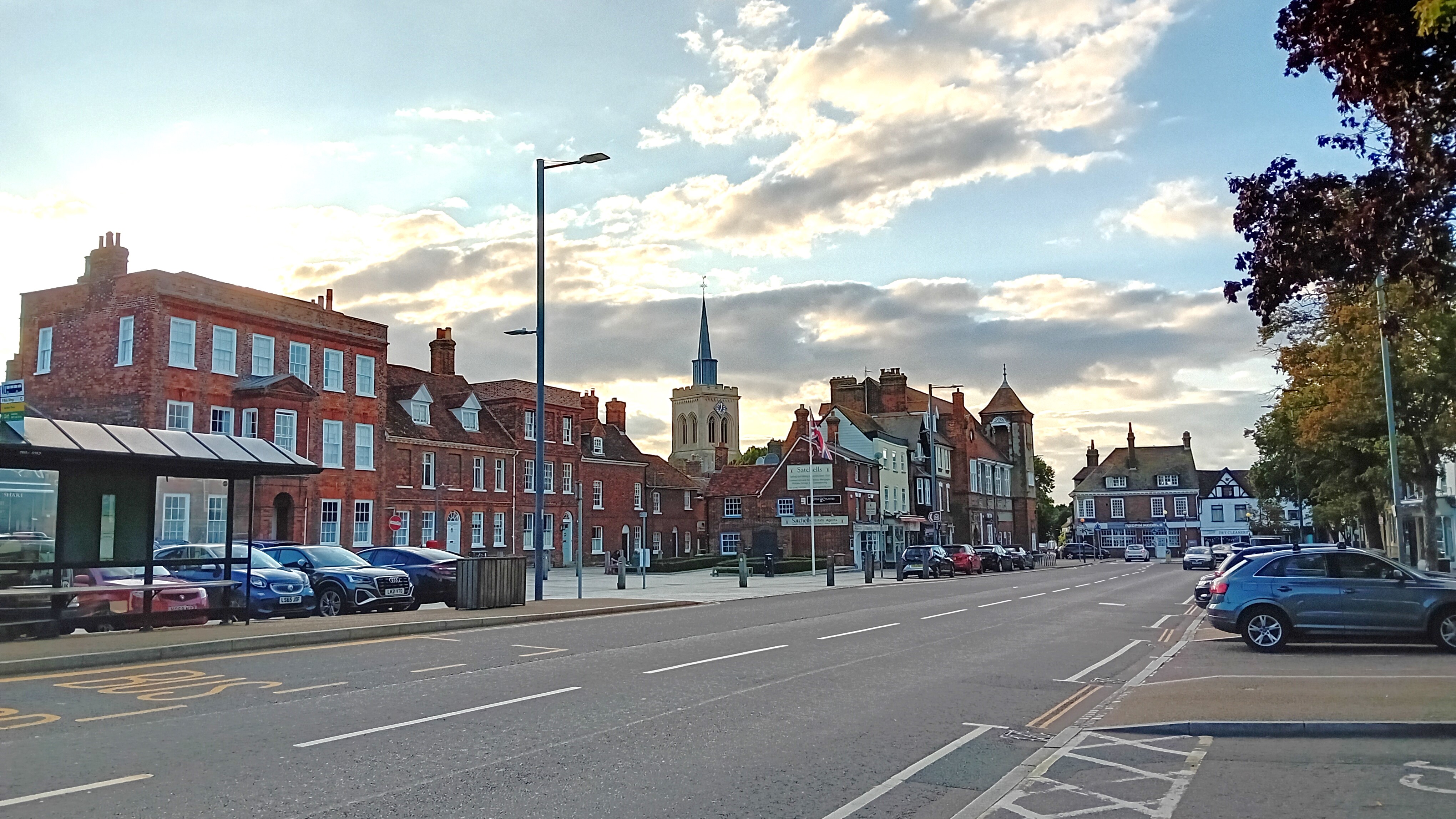
Baldock
Baldock ( BAWL-dək) is a historic market town in the North Hertfordshire district of Hertfordshire, England. The River Ivel rises from springs in the town...
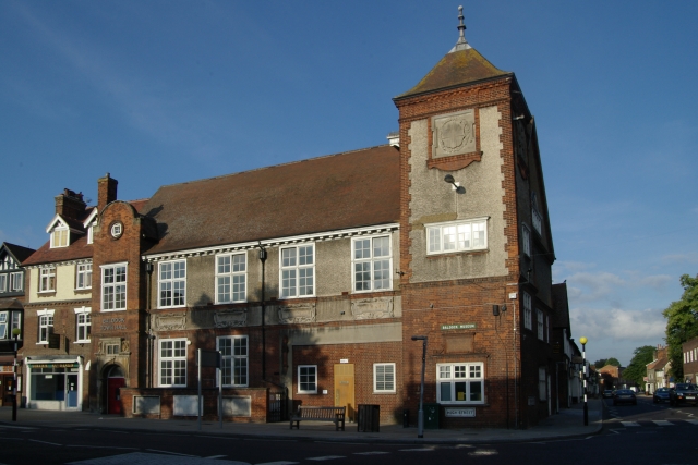
Baldock Town Hall
Baldock Town Hall is a municipal building in the High Street, Baldock, Hertfordshire, England. The structure, which now operates as an arts and heritage...

Church of St Mary the Virgin, Baldock
The Church of St Mary the Virgin is a parish church of the Church of England in Baldock in Hertfordshire. Dedicated to the Virgin Mary, the original church...

North Hertfordshire
North Hertfordshire is one of ten local government districts in the county of Hertfordshire, England. Its council is based in Letchworth. The district...

The Knights Templar School
The Knights Templar School is a co-educational secondary school with academy status located in the market town of Baldock in North Hertfordshire, England...
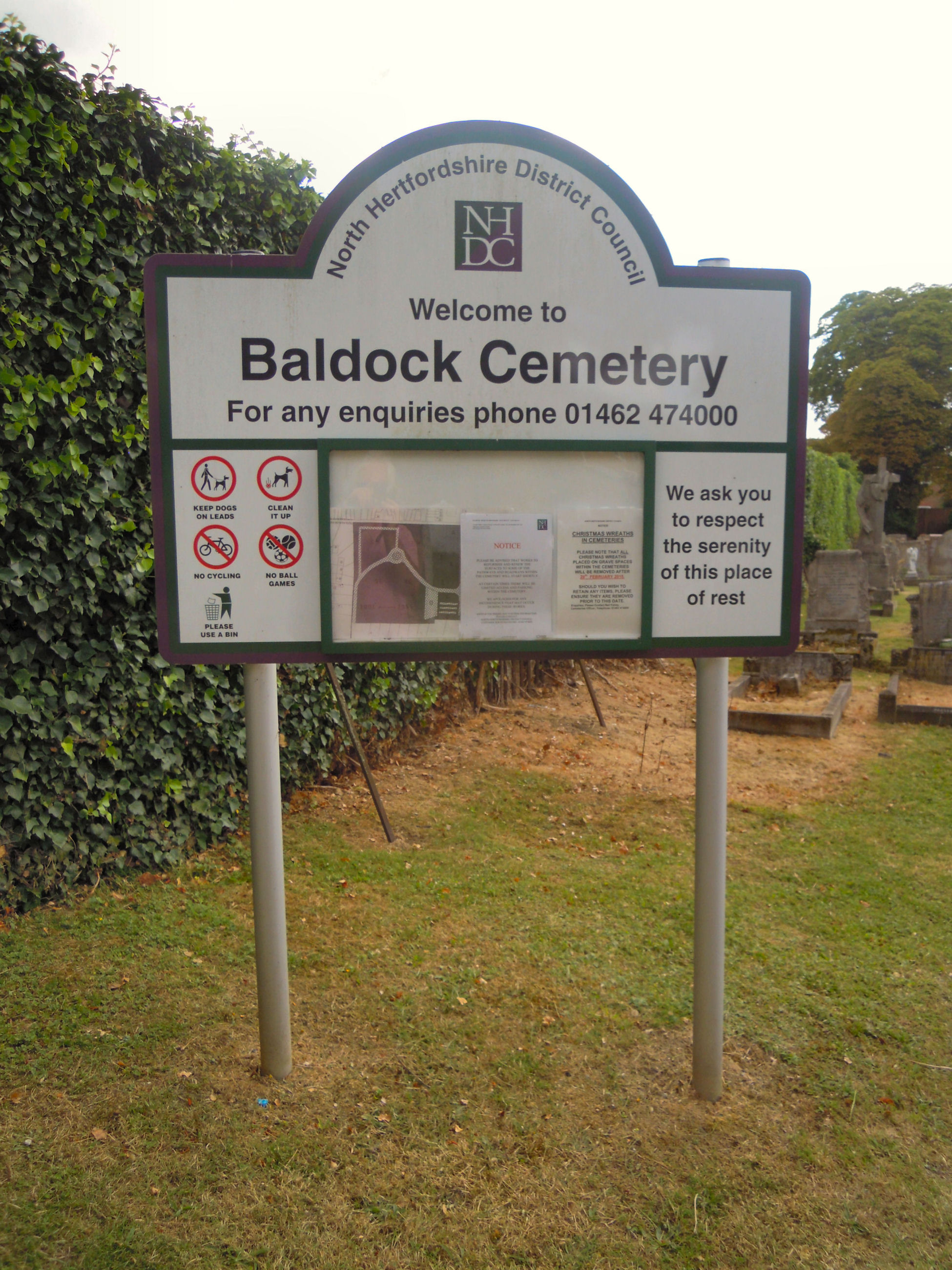
Baldock Cemetery
Baldock Cemetery is the burial ground for the market town of Baldock in North Hertfordshire and the surrounding area. It is maintained by North Hertfordshire...
Nearby Amenities
Located within 500m of 51.999951,-0.17796887Have you been to Bygrave Common?
Leave your review of Bygrave Common below (or comments, questions and feedback).