Bar Pastures
Downs, Moorland in Cambridgeshire
England
Bar Pastures
Bar Pastures is a prominent area located in Cambridgeshire, England, known for its picturesque downs and moorland landscapes. Spanning over a substantial area of land, Bar Pastures boasts a diverse range of natural features that attract both locals and tourists alike.
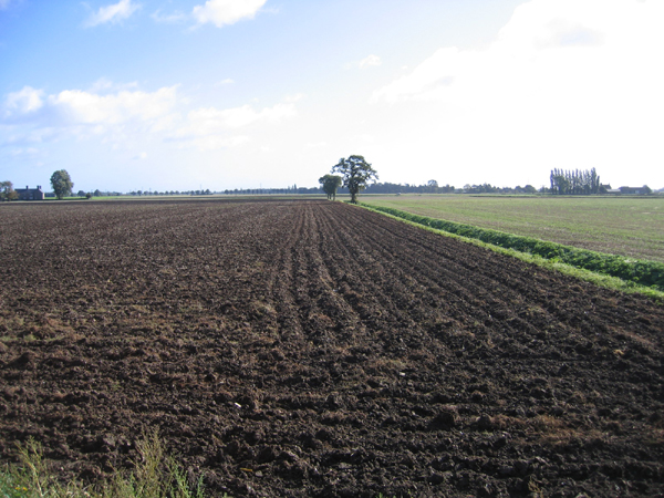
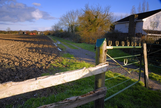
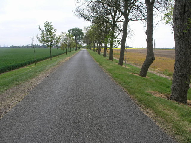
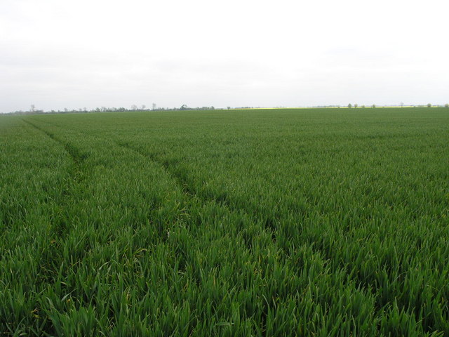
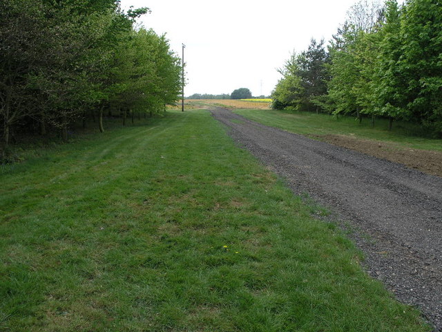
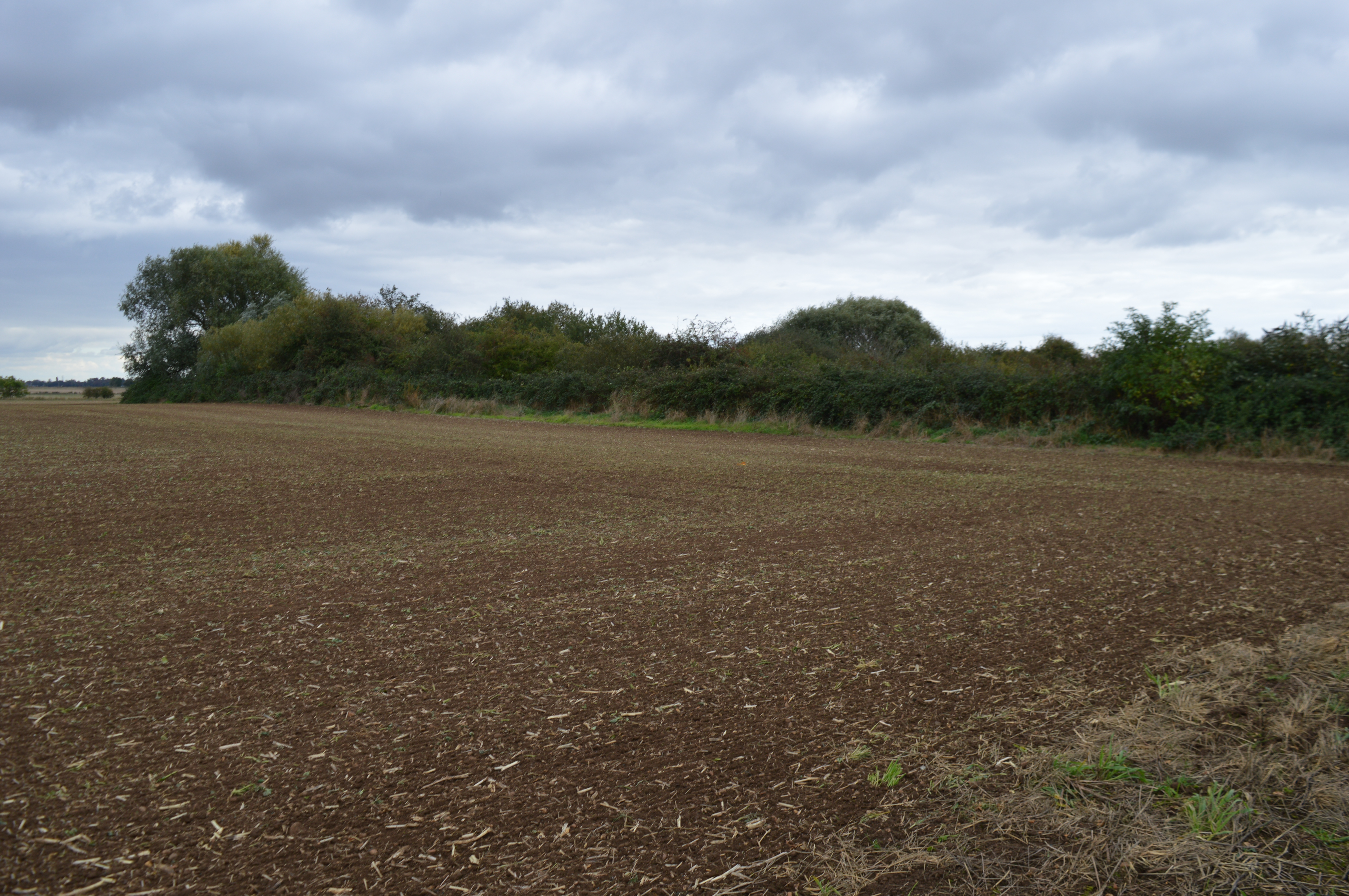
The downs of Bar Pastures are characterized by their rolling hills and expansive grasslands. These areas are often used for grazing livestock and offer breathtaking views of the surrounding countryside. The wide expanse of greenery provides ample opportunities for outdoor activities such as walking, hiking, and picnicking.
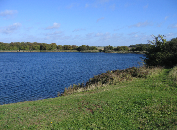
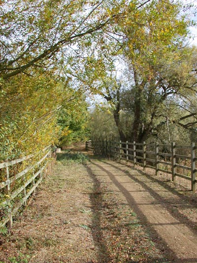
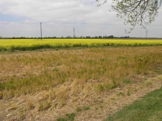
Adjacent to the downs, the moorland of Bar Pastures presents a stark contrast with its wild and rugged terrain. Here, visitors can explore vast areas of heather-covered moors, interspersed with pockets of marshes and small ponds. This unique landscape is home to a variety of flora and fauna, including rare species of birds and insects.
Bar Pastures offers a tranquil escape from the hustle and bustle of city life, providing visitors with a chance to immerse themselves in the beauty of nature. The area is dotted with charming villages and ancient landmarks, adding to its allure. Local amenities such as cafes, pubs, and accommodations are available to cater to the needs of visitors.
Overall, Bar Pastures is a hidden gem in Cambridgeshire, offering a diverse natural landscape that caters to outdoor enthusiasts and those seeking a peaceful retreat. Its downs and moorland provide a stunning backdrop for various activities, making it a must-visit destination for nature lovers.
If you have any feedback on the listing, please let us know in the comments section below.
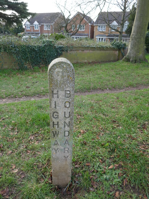
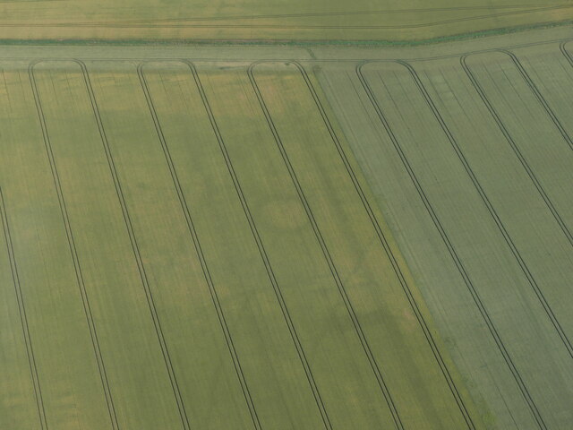
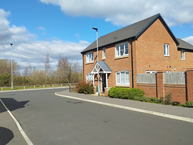
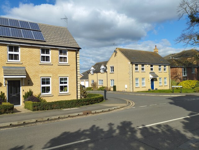
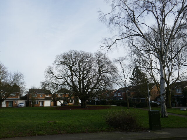
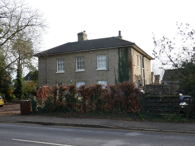
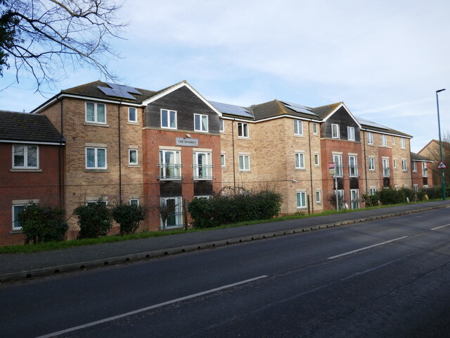
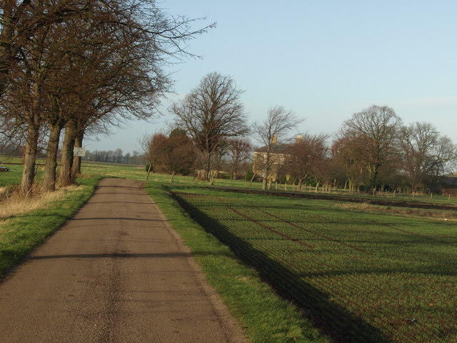
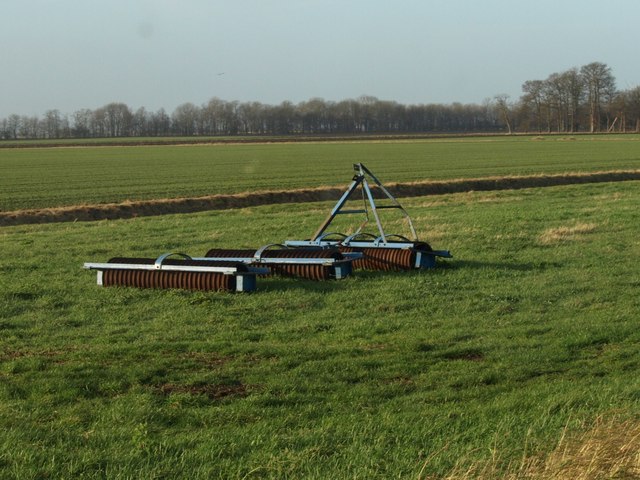
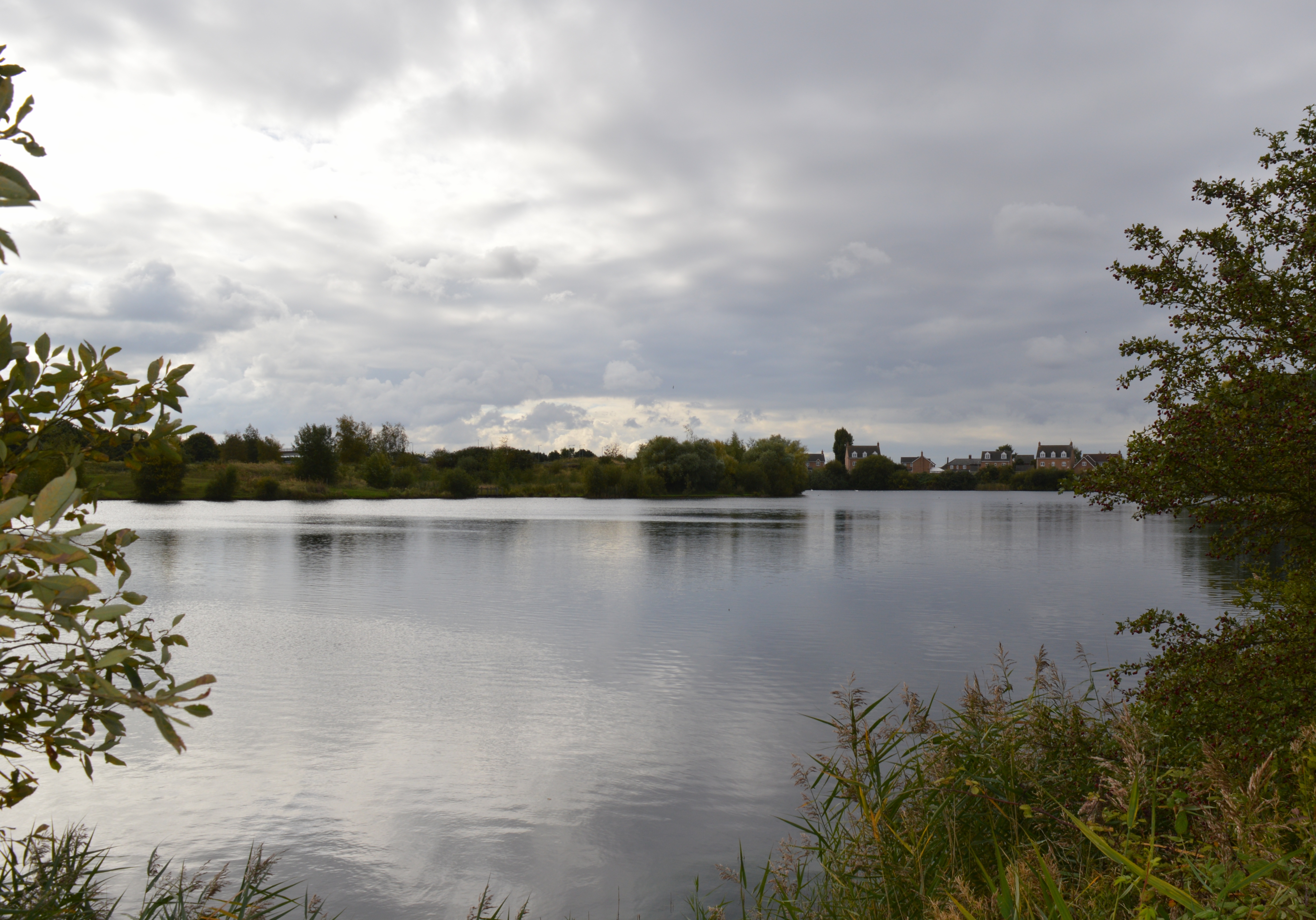
Bar Pastures Images
Images are sourced within 2km of 52.606272/-0.15684867 or Grid Reference TF2402. Thanks to Geograph Open Source API. All images are credited.
Bar Pastures is located at Grid Ref: TF2402 (Lat: 52.606272, Lng: -0.15684867)
Division: Isle of Ely
Unitary Authority: Peterborough
Police Authority: Cambridgeshire
What 3 Words
///february.satin.staked. Near Eye, Cambridgeshire
Nearby Locations
Related Wikis
Eye Green Local Nature Reserve
Eye Green Local Nature Reserve is a 12 hectare Local Nature Reserve in Eye Green in Cambridgeshire. It was managed by the Wildlife Trust for Bedfordshire...
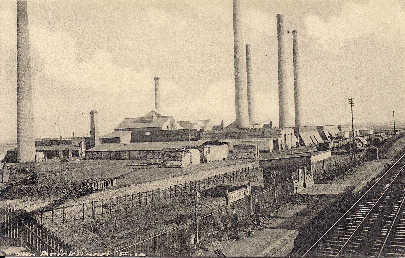
Eye Green railway station
Eye Green railway station was a station in Eye, Cambridgeshire, on the Midland and Great Northern Joint Railway line between Peterborough and Wisbech....
Eye Gravel Pit
Eye Gravel Pit is a 0.4-hectare (0.99-acre) geological Site of Special Scientific Interest in Eye Green in Cambridgeshire. It is a Geological Conservation...

Eye Green
Eye Green is a hamlet in the unitary authority of Peterborough, in the ceremonial county of Cambridgeshire, England. It lies north of Eye and south of...
Nearby Amenities
Located within 500m of 52.606272,-0.15684867Have you been to Bar Pastures?
Leave your review of Bar Pastures below (or comments, questions and feedback).