Herne Common

Downs, Moorland in Huntingdonshire Huntingdonshire

England

Herne Common

Herne Road, Ramsey St Mary's At the corner of Daintree Road
Herne Road, Ramsey St Mary's Credit: David Howard

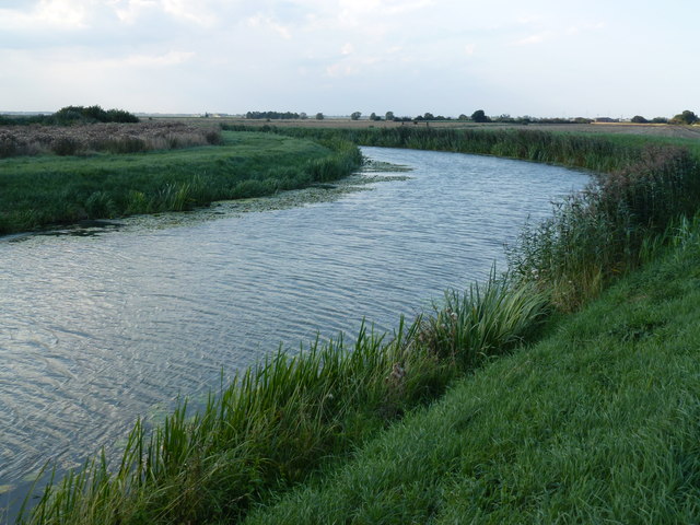
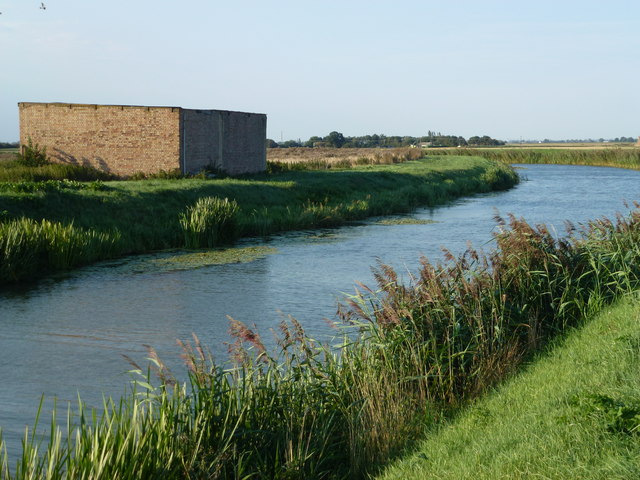
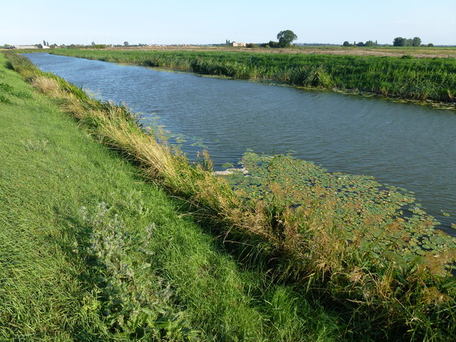
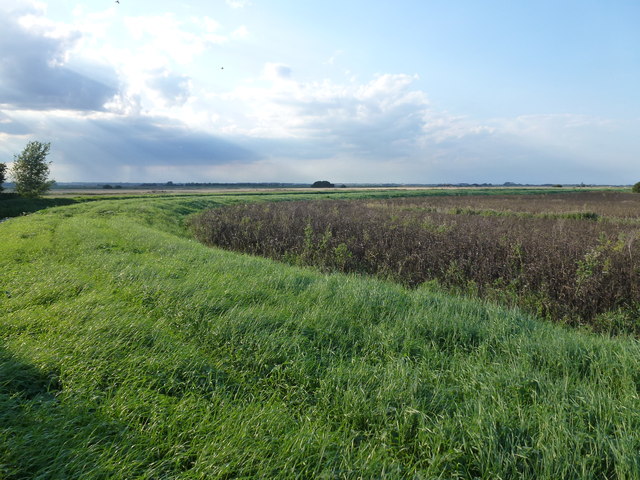
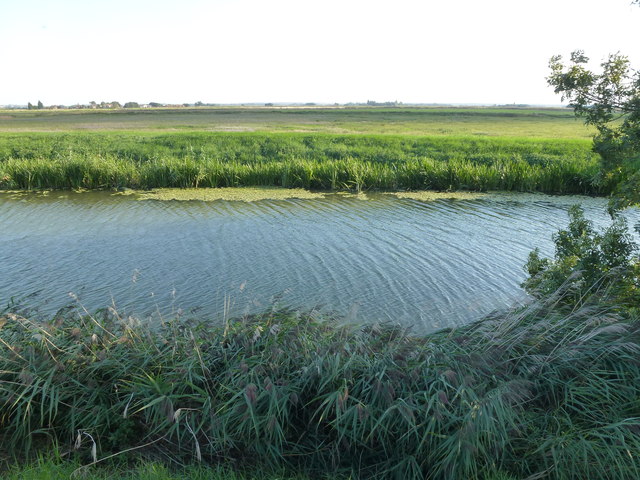
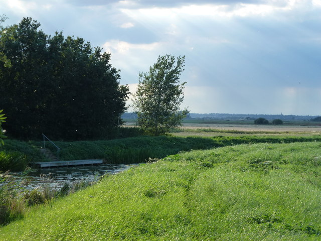
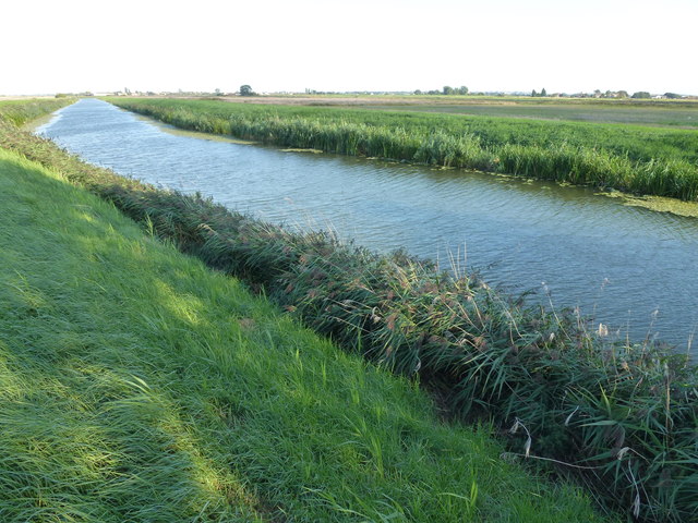
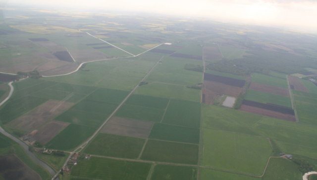
Herne Common is a picturesque area located in the district of Huntingdonshire, England. Situated in the heart of the countryside, this vast expanse of land is characterized by its rolling downs and moorland, making it a popular destination for nature enthusiasts and outdoor enthusiasts alike.

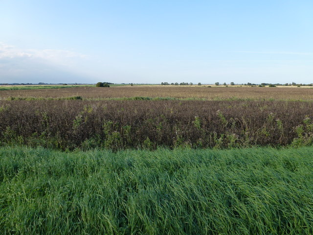
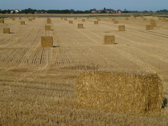
The common covers an area of approximately 500 acres, providing ample space for visitors to explore and enjoy the natural beauty of the surroundings. The landscape is predominantly a mixture of grassy downs and heather-covered moorland, creating a diverse and visually stunning environment.

Herne Common is home to a variety of plant and animal species, including rare and protected species such as the Dartford warbler and the silver-studded blue butterfly. The area is also rich in flora, with several types of wildflowers and grasses adorning the landscape during the summer months.

Visitors to Herne Common can partake in a range of activities, including walking, hiking, and birdwatching. The well-maintained footpaths and trails provide easy access to the different areas of the common, allowing visitors to fully immerse themselves in the natural beauty of the surroundings.

In addition to its natural attractions, Herne Common also has historical significance. The remnants of ancient settlements and burial mounds can be found scattered throughout the area, offering a glimpse into the rich history of the region.

Overall, Herne Common is a stunning location that offers a perfect blend of natural beauty and historical significance. Whether it's exploring the downs, observing the wildlife, or simply enjoying a peaceful walk, Herne Common is a must-visit destination for anyone seeking a tranquil escape in the heart of Huntingdonshire.

If you have any feedback on the listing, please let us know in the comments section below.
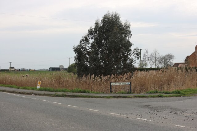
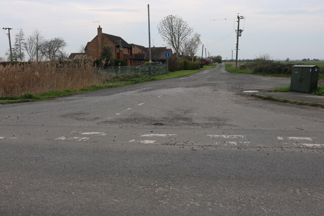
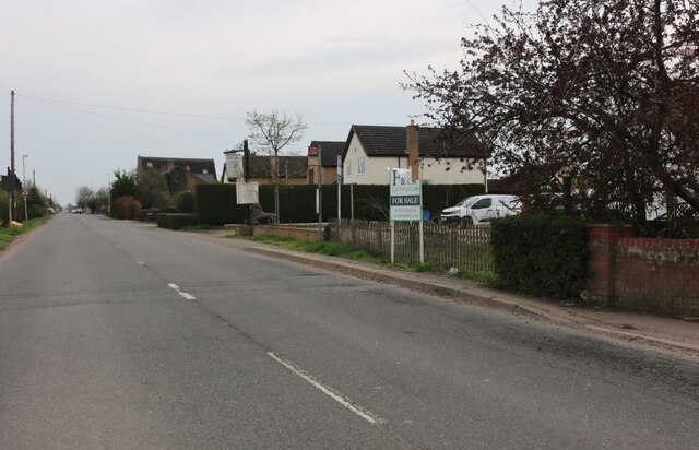
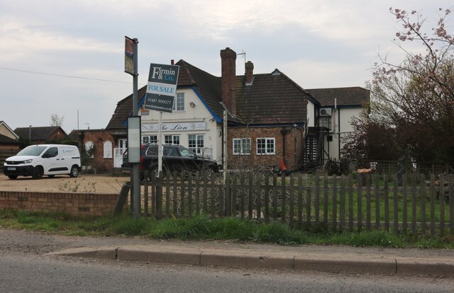
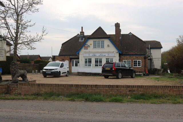
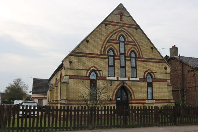
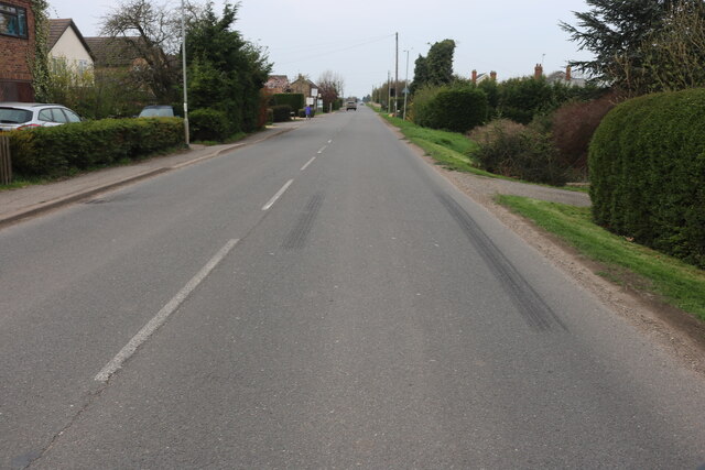
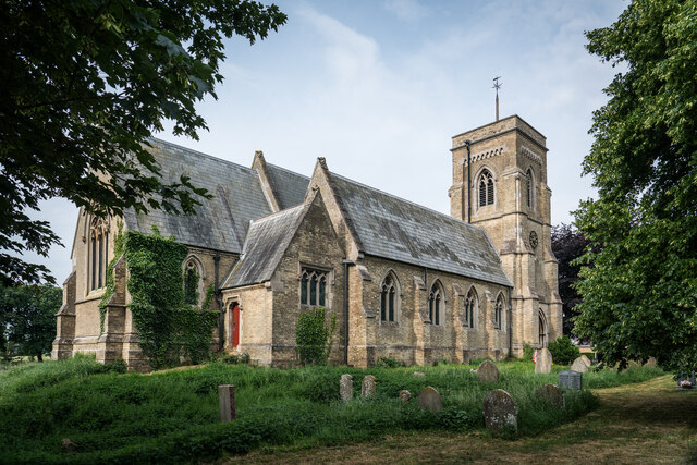
Herne Common Images

Images are sourced within 2km of 52.477292/-0.16186096 or Grid Reference TL2488. Thanks to Geograph Open Source API. All images are credited.

Herne Road, Ramsey St Mary's At the corner of Daintree Road
Herne Road, Ramsey St Mary's
At the corner of Daintree Road
Daintree Road, Ramsey St Mary's
Herne Road, Ramsey St Mary's
The Lion Pub, Ramsey St Mary's Probably to become residential
The Lion Pub, Ramsey St Mary's
Probably to become residential
The Lion Pub, Ramsey St Mary's Empty and up for sale
The Lion Pub, Ramsey St Mary's
Empty and up for sale
Ex church on Herne Road, Ramsey St Mary's It appears to be flats now
Ex church on Herne Road, Ramsey St Mary's
It appears to be flats now
Herne Road, Ramsey St Mary's
St. Mary's Church, Ramsey St Mary's <span class="nowrap"><a title="https://en.wikipedia.org/wiki/Ramsey_St_Mary%27s" rel="nofollow ugc noopener" href="https://en.wikipedia.org/wiki/Ramsey_St_Mary%27s">Link</a><img style="margin-left:2px;" alt="External link" title="External link - shift click to open in new window" src="https://s1.geograph.org.uk/img/external.png" width="10" height="10"/></span>
St. Mary's Church, Ramsey St Mary's
The River Nene (Old course) near Stoke's Farm ...
The River Nene (Old course) near Stoke's Farm
...
The last remaining building at Stoke's Farm ...
The last remaining building at Stoke's Farm
...
The River Nene (Old course) near Ramsey St Mary's Between Old Decoy Farm and Stoke's Farm
The River Nene (Old course) near Ramsey St Mary's
Between Old Decoy Farm and Stoke's Farm
Bend in the river bank The River Nene (old course) makes a 90 degree turn near Old Decoy Farm to the west of Ramsey St Mary's
Bend in the river bank
The River Nene (old course) makes a 90 degree turn near Old Decoy Farm to the west of Ramsey St Mary's
The River Nene (Old course) west of Ramsey St Mary's ...
The River Nene (Old course) west of Ramsey St Mary's
...
Mooring at Old Decoy Farm A remote farm on The River Nene (Old course) west of Ramsey St Mary
Mooring at Old Decoy Farm
A remote farm on The River Nene (Old course) west of Ramsey St Mary
Crop of beans near Old Decoy Farm Remote and low lying fen farmland to the west of Ramsey St Mary's
Crop of beans near Old Decoy Farm
Remote and low lying fen farmland to the west of Ramsey St Mary's
The River Nene (Old course) east of Old Decoy Farm Looking east towards Ramsey St Mary's
The River Nene (Old course) east of Old Decoy Farm
Looking east towards Ramsey St Mary's
Baled straw near Stoke's Bridge Straw from this field near Ramsey St Mary's may well end up in this power station at Sutton in the Isle <a title="https://www.geograph.org.uk/photo/3562251" href="https://www.geograph.org.uk/photo/3562251">Link</a>
Baled straw near Stoke's Bridge
Straw from this field near Ramsey St Mary's may well end up in this power station at Sutton in the Isle Link
From Herne Fen to Holme Common; River Nene (Old Course): aerial 2016 B660 Holme Road runs up the centre, with the River Nene (Old Course) looping around the left of the shot. Stoke's Bridge bottom left.
From Herne Fen to Holme Common; River Nene (Old Course): aerial 2016
B660 Holme Road runs up the centre, with the River Nene (Old Course) looping around the left of the shot. Stoke's Bridge bottom left.
Show me another place!

Herne Common is located at Grid Ref: TL2488 (Lat: 52.477292, Lng: -0.16186096)

Administrative County: Cambridgeshire

District: Huntingdonshire

Police Authority: Cambridgeshire

What 3 Words

///fabricate.wired.lunch. Near Ramsey, Cambridgeshire

Nearby Locations

Herne Common

Related Wikis

Ramsey St Mary's

Ramsey St Mary's is a village in Ramsey civil parish, part of the Huntingdonshire district of Cambridgeshire, England. == Church == During the 1850s, the...

St Mary's railway station (England)

St. Mary's railway station was the intermediate railway station in Ramsey St Mary's, Cambridgeshire on the Great Northern railway line running from Holme...

Ramsey Heights

Ramsey Heights is a village in Ramsey civil parish, part of the Huntingdonshire district of Cambridgeshire, England. The Ramsey Heights nature reserve...

Great Fen

The Great Fen is a habitat restoration project being undertaken on The Fens in the county of Cambridgeshire in England. It is one of the largest restoration...

Ramsey Heights nature reserve

Ramsey Heights Nature Reserve is a small nature reserve near the village of Ramsey Heights in Cambridgeshire, England. The reserve is 5 ha (12 acres) in...

Whittlesey Mere

Whittlesea Mere was an area of open water in the Fenland area of the county of Huntingdonshire (now Cambridgeshire), England. The mere occupied the land...

Ramsey Mereside

Ramsey Mereside, known colloquially as "The Village", is a small village approximately 3.5 miles (5.6 km) north of the town of Ramsey, Cambridgeshire...

Pondersbridge

Pondersbridge is a village in Whittlesey civil parish, part of the Fenland district of Cambridgeshire, England. Pondersbridge is essentially a settlement...

Nearby Amenities

Located within 500m of 52.477292,-0.16186096
Turning Circle
Lat/Long: 52.4787313/-0.1552268
Power: pole
Lat/Long: 52.4730239/-0.1624773
Power: pole
Lat/Long: 52.4735923/-0.1639418
Power: pole
Lat/Long: 52.4741479/-0.1653582
Power: pole
Lat/Long: 52.4746446/-0.166603
Power: pole
Lat/Long: 52.4751463/-0.1678582
Building: yes
Lat/Long: 52.4780332/-0.1686714
Building: yes
Lat/Long: 52.477762/-0.1668475
Building: yes
Lat/Long: 52.477102/-0.1627169
Building: yes
Lat/Long: 52.476527/-0.1623414
Building: yes
Lat/Long: 52.4766903/-0.1620088
Building: yes
Lat/Long: 52.4765662/-0.1616762
The data included in this document is from www.openstreetmap.org. The data is made available under ODbL.

Have you been to Herne Common?

Leave your review of Herne Common below (or comments, questions and feedback).