Keyingham Ings
Downs, Moorland in Yorkshire
England
Keyingham Ings

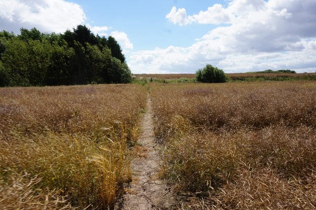
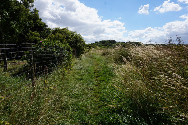
Keyingham Ings is a picturesque area located in the East Riding of Yorkshire, England. Situated on the Humber Estuary, it covers a vast expanse of land that comprises both downs and moorland landscapes. The area is known for its rich biodiversity and stunning natural beauty.
The downs of Keyingham Ings offer panoramic views of the surrounding countryside and are characterized by rolling hills and open spaces. These grassy slopes are home to a variety of plant species including heather, gorse, and wildflowers. The downs also provide habitats for a diverse range of wildlife such as rabbits, hares, and numerous bird species.
On the other hand, the moorland areas of Keyingham Ings present a different landscape. These expanses are covered in heather and moss, creating a distinct purple hue during certain times of the year. The moorlands are dotted with small pools and streams, which provide water sources for the resident wildlife.
Keyingham Ings is a popular destination for nature enthusiasts, hikers, and birdwatchers. The area is a haven for bird species, including migratory birds that visit during the winter months. Visitors can spot wading birds like curlews, lapwings, and redshanks, as well as terns, herons, and various species of ducks. The diverse flora and fauna of Keyingham Ings offer endless opportunities for exploration and appreciation of the natural world.
In addition to its natural beauty, Keyingham Ings also holds historical significance. The area has remnants of past human activity, including ancient burial mounds and archaeological sites. These sites provide insights into the area's rich cultural heritage and add to its overall allure.
Overall, Keyingham Ings in Yorkshire is a stunning landscape that combines downs and moorland, offering visitors a chance to immerse themselves in nature's beauty and discover the area's fascinating history.
If you have any feedback on the listing, please let us know in the comments section below.
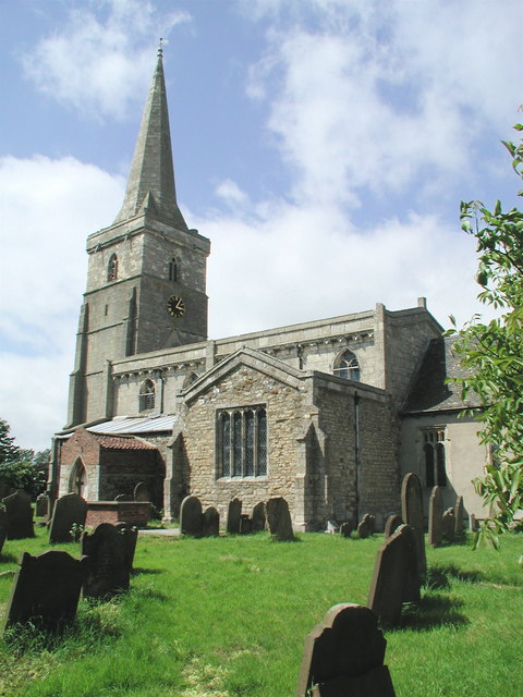
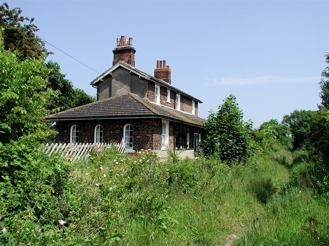
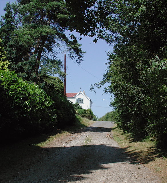
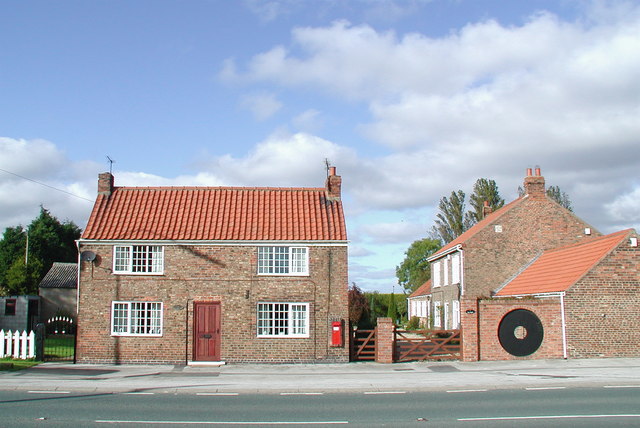
Keyingham Ings Images
Images are sourced within 2km of 53.70119/-0.11055488 or Grid Reference TA2424. Thanks to Geograph Open Source API. All images are credited.


Keyingham Ings is located at Grid Ref: TA2424 (Lat: 53.70119, Lng: -0.11055488)
Division: East Riding
Unitary Authority: East Riding of Yorkshire
Police Authority: Humberside
What 3 Words
///smoking.nametag.standard. Near Keyingham, East Yorkshire
Nearby Locations
Related Wikis
Keyingham
Keyingham is a village and civil parish in the East Riding of Yorkshire, England. The village is situated approximately 10 miles (16 km) east of Kingston...

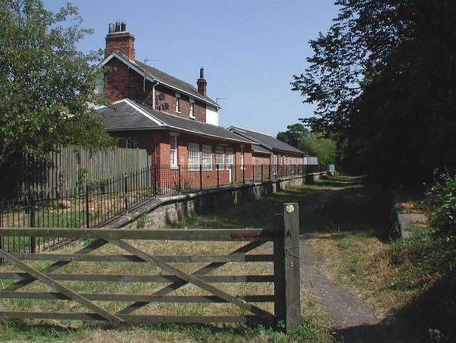
Keyingham railway station
Keyingham railway station is a disused railway station on the North Eastern Railway's Hull and Holderness Railway to the north of Keyingham, East Riding...
A1033 road
The A1033 road is a main arterial route across Kingston upon Hull and the East Riding of Yorkshire connecting Hull with Withernsea. The road carries traffic...
Ottringham
Ottringham is a village and civil parish in the East Riding of Yorkshire, England, in an area known as Holderness. It is situated approximately 12 miles...
Ottringham railway station
Ottringham railway station is a disused railway station on the North Eastern Railway's Hull and Holderness Railway to the north of Ottringham, East Riding...
Ryehill, East Riding of Yorkshire
Ryehill is a hamlet in the East Riding of Yorkshire, England, in an area known as Holderness. It is situated approximately 7 miles (11 km) east of Hull...
Camerton, East Riding of Yorkshire
Camerton is a hamlet in the East Riding of Yorkshire, England, in an area known as Holderness. It is situated approximately 7 miles (11 km) east of Hull...
Rye Hill and Burstwick railway station
Rye Hill and Burstwick railway station is a disused railway station on the North Eastern Railway's Hull and Holderness Railway midway between Burstwick...
Nearby Amenities
Located within 500m of 53.70119,-0.11055488Have you been to Keyingham Ings?
Leave your review of Keyingham Ings below (or comments, questions and feedback).