Bentley Heath
Downs, Moorland in Middlesex Hertsmere
England
Bentley Heath
Bentley Heath is a small suburban area located in the county of Middlesex, England. Situated in the southern part of the county, it lies approximately 15 miles northwest of central London. The area is known for its picturesque landscapes, which include both downs and moorland.
The downs of Bentley Heath offer stunning views of the surrounding countryside, with rolling hills and lush greenery. The area is perfect for outdoor enthusiasts, providing ample opportunities for walking, hiking, and exploring nature. The downs are also home to a variety of wildlife, including rabbits, foxes, and various bird species.
In addition to the downs, Bentley Heath boasts beautiful moorland. This type of open, rocky terrain is characterized by its heather-covered hills and vast expanses. Moorland provides a unique ecosystem, supporting a range of plant and animal species that are adapted to the harsh conditions of the area.
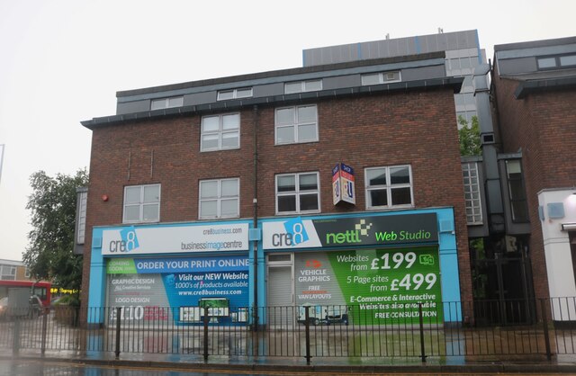
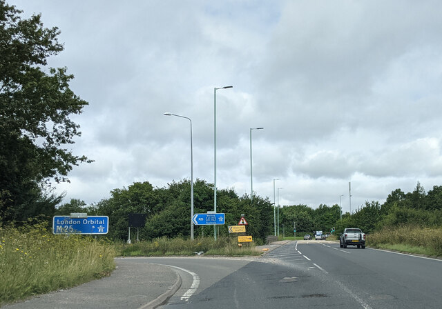
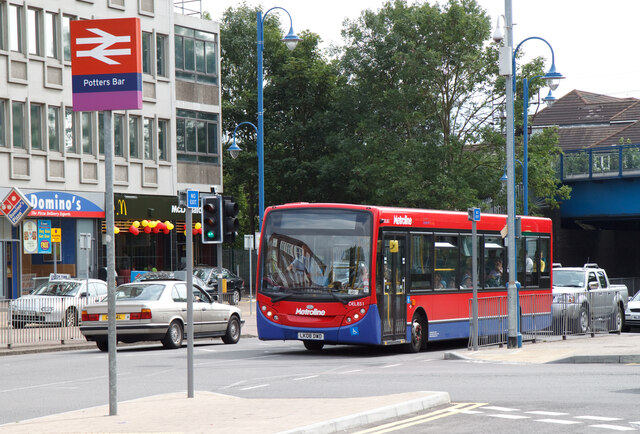
The community of Bentley Heath is close-knit and friendly, with a mix of residential properties and local amenities. The area offers a range of shops, restaurants, and cafes, providing residents with essential services and a vibrant social scene. Bentley Heath is also well-connected, with good transport links to nearby towns and the capital city.
Overall, Bentley Heath offers a tranquil and scenic environment, with its downs and moorland providing a haven for nature lovers and a peaceful retreat from the hustle and bustle of city life.
If you have any feedback on the listing, please let us know in the comments section below.
Bentley Heath Images
Images are sourced within 2km of 51.682994/-0.19618931 or Grid Reference TQ2499. Thanks to Geograph Open Source API. All images are credited.


Bentley Heath is located at Grid Ref: TQ2499 (Lat: 51.682994, Lng: -0.19618931)
Administrative County: Hertfordshire
District: Hertsmere
Police Authority: Hertfordshire
What 3 Words
///spine.spends.upgrading. Near Potters Bar, Hertfordshire
Nearby Locations
Related Wikis

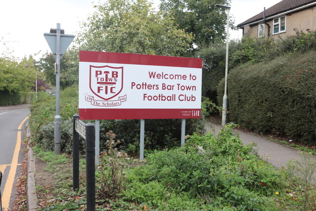
Potters Bar Urban District
Potters Bar Urban District was a local government district in England from 1894 to 1974, covering the town of Potters Bar and the village of South Mimms...

Bentley Heath, Hertfordshire
Bentley Heath is a hamlet in Hertfordshire, England, between Chipping Barnet and Potters Bar. It is on the north edge of the Wrotham Park estate with which...

M16 motorway
The M16 motorway was the designation planned in the late 1960s and early 1970s for use on Ringway 3, a new motorway planned as part of the London Ringways...

Wrotham Park
Wrotham Park (pronounced , ROO-təm) is a neo-Palladian English country house in the parish of South Mimms, Hertfordshire. It lies south of the town of...

Ganwick House
Ganwick House is a late-18th-century house in Wagon Road, Ganwick Corner (Gannic Corner), near Chipping Barnet, England. As of 2018, it was in use as a...
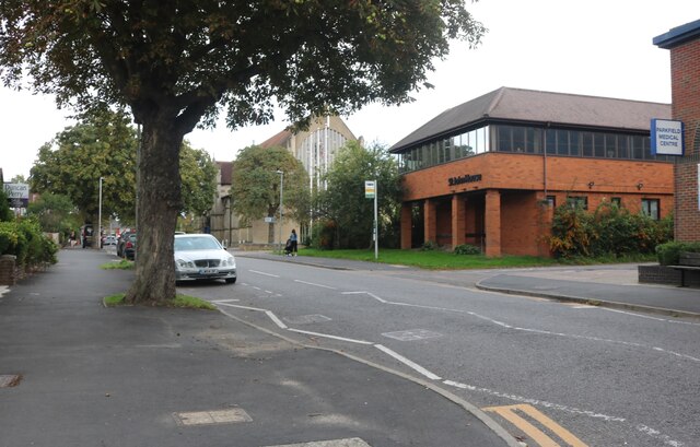
Dame Alice Owen's School
Dame Alice Owen's School (DAOS, or simply Dame Alice Owen's or Owen's) is an 11–18 mixed, partially selective secondary school and sixth form with academy...
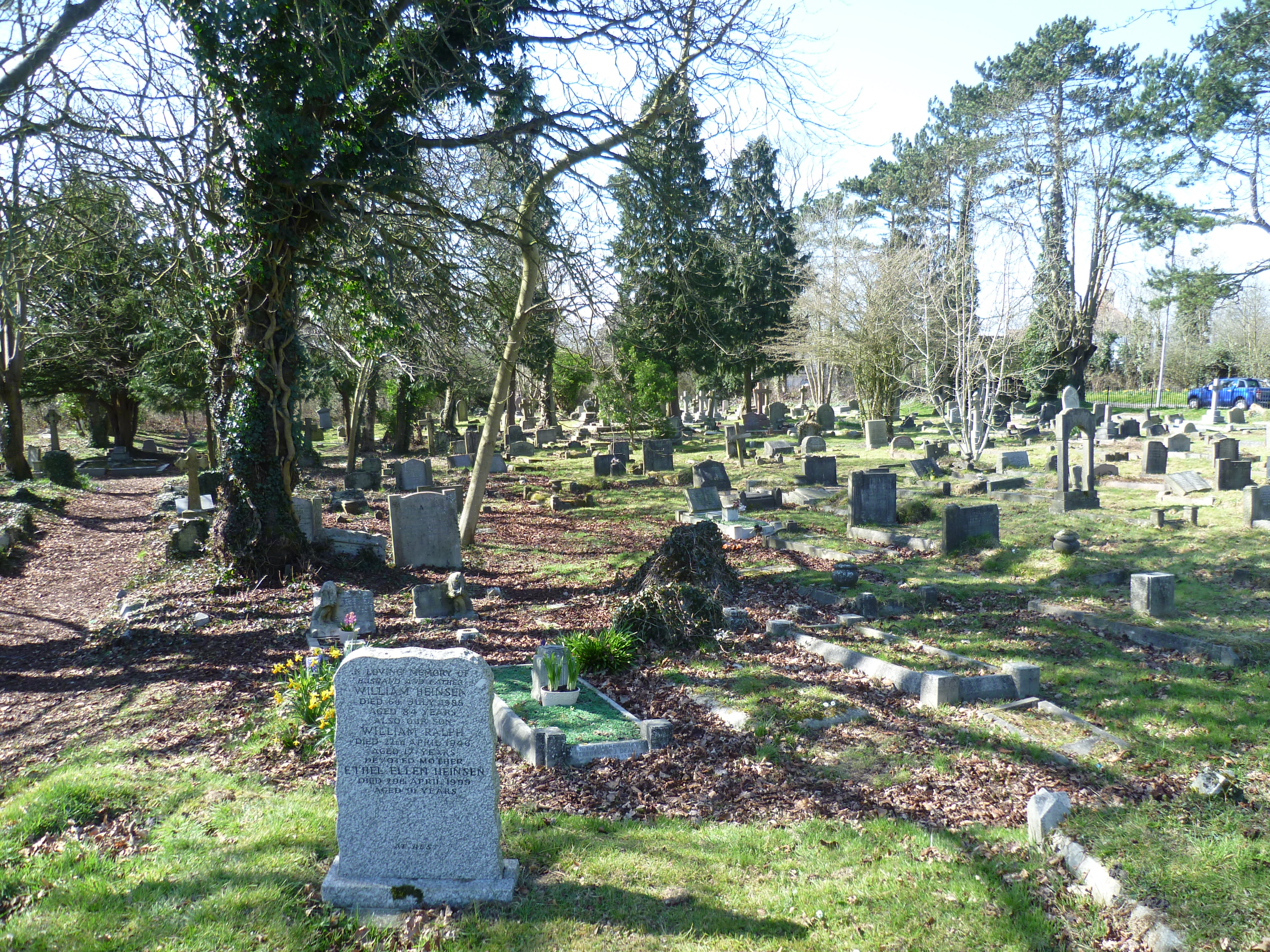
Mutton Lane Cemetery
Mutton Lane Cemetery, officially known as St Mary's Cemetery, is a cemetery in Mutton Lane, Potters Bar, Hertfordshire, that is associated with nearby...
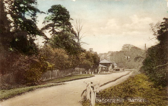
Dancers Hill
Dancers Hill is located in Hertfordshire, England, immediately south of the route of the M25 motorway. It was formerly in the historic county of Middlesex...
Nearby Amenities
Located within 500m of 51.682994,-0.19618931Have you been to Bentley Heath?
Leave your review of Bentley Heath below (or comments, questions and feedback).