Cowbit Common

Downs, Moorland in Lincolnshire South Holland

England

Cowbit Common

Grassland and the Welland Bank
Grassland and the Welland Bank Credit: Jonathan Thacker

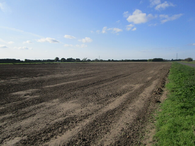
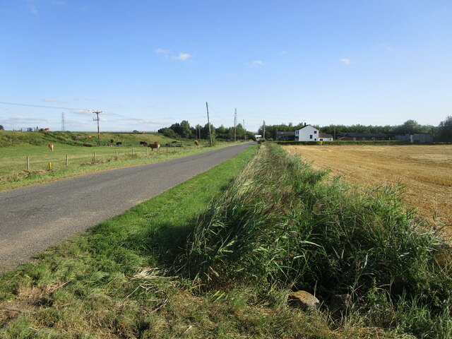
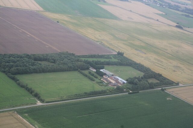
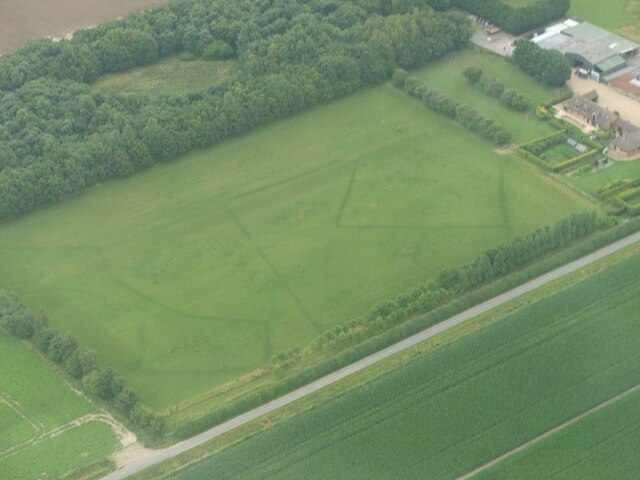
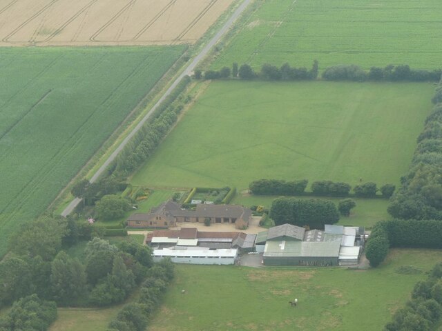
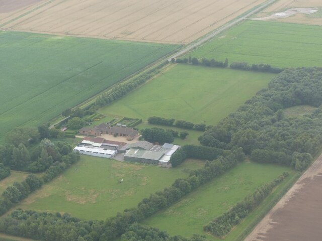
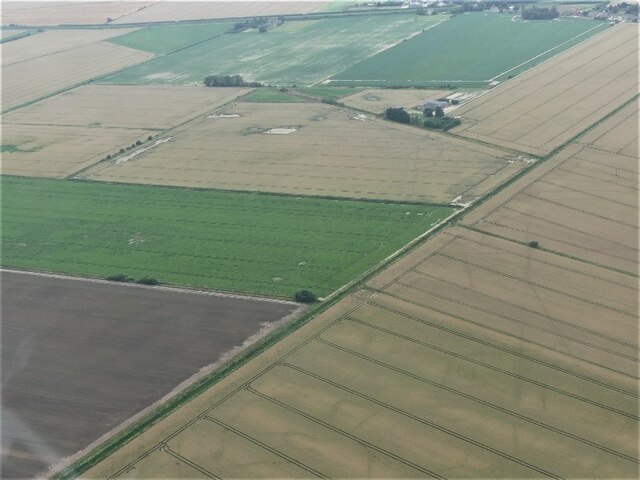
Cowbit Common is a picturesque natural area located in Lincolnshire, England. Covering an expansive stretch of land, it is characterized by its diverse landscape, featuring both downs and moorland. The common is situated in close proximity to the village of Cowbit, which adds to its charm and accessibility.

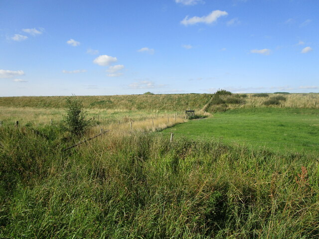
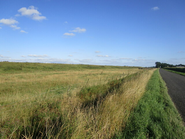
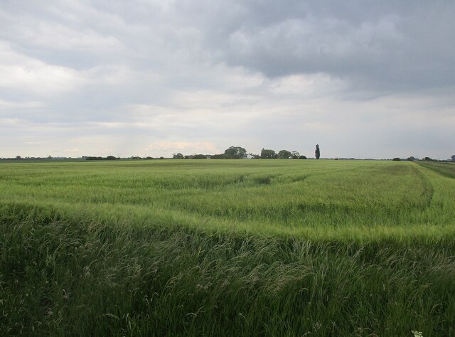
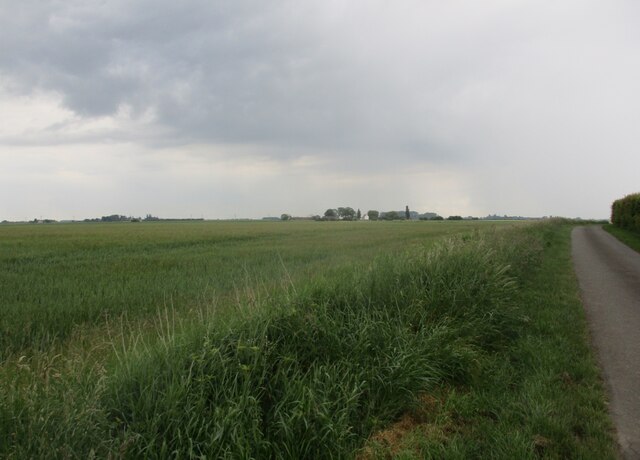
The downs of Cowbit Common are characterized by their gently rolling hills and are covered in a variety of grasses and wildflowers, creating a vibrant display of colors during the warmer months. This part of the common offers visitors breathtaking views of the surrounding countryside and is a haven for nature lovers and hikers alike.

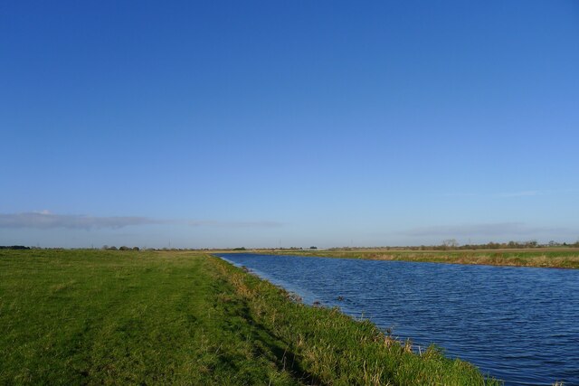
In contrast, the moorland section of Cowbit Common provides a unique and distinct experience. This part of the common is characterized by its wet and marshy terrain, punctuated by small ponds and pools. It is home to a diverse range of flora and fauna, including various species of birds, amphibians, and insects. Visitors can often spot rare and protected species in this part of the common, making it a popular destination for wildlife enthusiasts and birdwatchers.

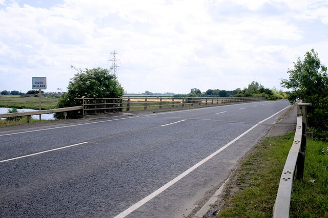
Cowbit Common is well-maintained, with designated paths and trails to explore the area safely. There are also picnic spots and benches scattered throughout the common, providing visitors with the opportunity to relax and enjoy the peaceful surroundings.

Overall, Cowbit Common is a hidden gem in Lincolnshire, offering a unique combination of downs and moorland landscapes. Its natural beauty, diverse flora and fauna, and tranquil atmosphere make it a must-visit destination for those seeking an escape into nature.

If you have any feedback on the listing, please let us know in the comments section below.

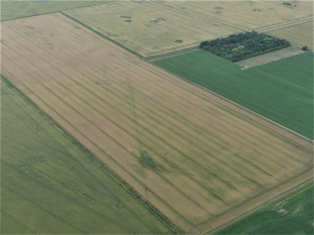
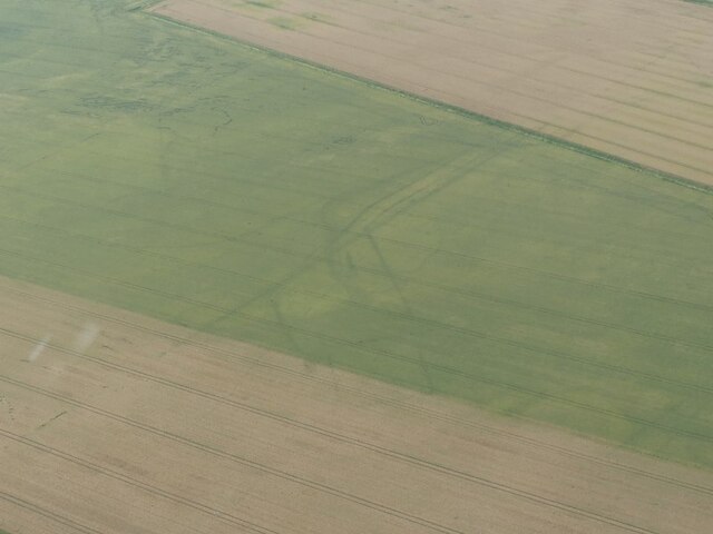
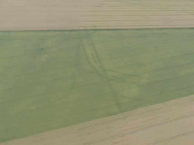
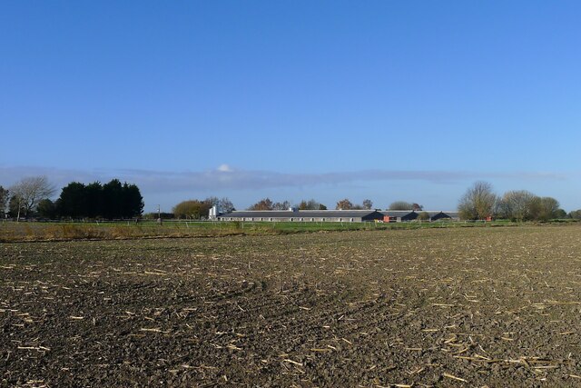
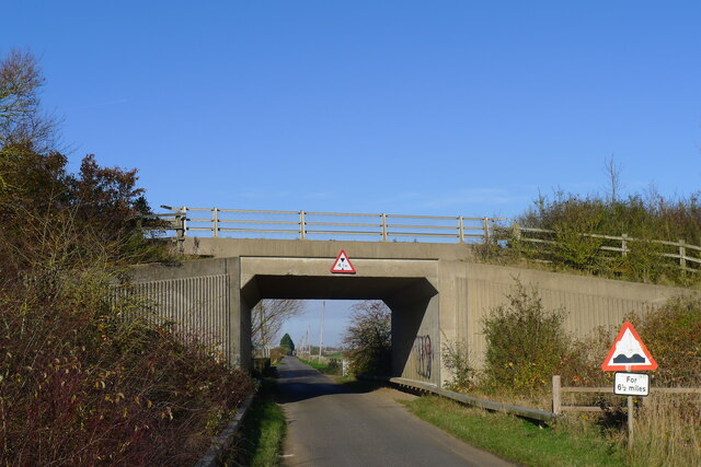
Cowbit Common Images

Images are sourced within 2km of 52.750224/-0.17484136 or Grid Reference TF2318. Thanks to Geograph Open Source API. All images are credited.

Grassland and the Welland Bank
Strip of land between the Welland Bank and Cradge Bank Lane
Prepared field, Cowbit Common This will probably be planted with brassicas in the next few days.
Prepared field, Cowbit Common
This will probably be planted with brassicas in the next few days.
Cradge Bank Road The Welland Bank on the left. The Spalding bypass crossing in the distance.
Cradge Bank Road
The Welland Bank on the left. The Spalding bypass crossing in the distance.
Cropmarks on land at Poplar Farm, SE of Cuckoo Bridge: aerial 2021 (1)
Cropmarks on land at Poplar Farm, SE of Cuckoo Bridge: aerial 2021 (2)
Cropmarks on land at Poplar Farm, SE of Cuckoo Bridge: aerial 2021 (3)
Cropmarks on land at Poplar Farm, SE of Cuckoo Bridge: aerial 2021 (4)
Cropmarks on land near Rookery Farm: aerial 2021
Cropmarks on field near Park Farm, Spalding Common: aerial 2021 (1)
Cropmarks on field near Park Farm, Spalding Common: aerial 2021 (3)
Cropmarks on field near Park Farm, Spalding Common: aerial 2021 (4)
The Welland west of Cowbit The washlands of Cowbit Wash are on the opposite side
The Welland west of Cowbit
The washlands of Cowbit Wash are on the opposite side
Poultry sheds, Whitehouse Farm, Spalding
Cradge Bank Road passing under the A1175
Barley field and White House Farm
Wheat field and White House Farm
Deck of a bridge This bridge carries the A1175 over the River Welland to the south of Spalding.  The A1175 is the road formally the route of the A16 between Spalding Common and Stamford, but when the bypass was built to the east of Spalding in 1995, this route was extended over the Welland to connect with the new route of the A16, which now goes down to join the Peterborough ring roads by passing to the east of Crownland.
Deck of a bridge
This bridge carries the A1175 over the River Welland to the south of Spalding. The A1175 is the road formally the route of the A16 between Spalding Common and Stamford, but when the bypass was built to the east of Spalding in 1995, this route was extended over the Welland to connect with the new route of the A16, which now goes down to join the Peterborough ring roads by passing to the east of Crownland.
Show me another place!

Cowbit Common is located at Grid Ref: TF2318 (Lat: 52.750224, Lng: -0.17484136)

Administrative County: Lincolnshire

District: South Holland

Police Authority: Lincolnshire

What 3 Words

///pose.sake.rushed. Near Cowbit, Lincolnshire

Nearby Locations

Cowbit Common

Related Wikis

South Holland District

South Holland is a local government district of Lincolnshire, England. The council is based in Spalding. Other notable towns and villages include Crowland...

Spalding Rural District

Spalding was a rural district in Holland in Lincolnshire, England from 1894 to 1974. It was formed under the Local Government Act 1894 from the Spalding...

Cowbit

Cowbit (locally pronounced Cubbit) is a village and civil parish in the South Holland district of Lincolnshire, England. The population of the civil parish...

New River (Fens)

The New River is a drainage system in the South Holland district of Lincolnshire, England. Rising just east of Sisson's Farm near Crowland it flows very...

Deeping Fen

Deeping Fen is a low-lying area in the South Holland district of Lincolnshire, England, which covers approximately 47 square miles (120 km2). It is bounded...

Deeping St Nicholas

Deeping St Nicholas is a village in Lincolnshire, England, on the A1175 road between The Deepings and Spalding. Unlike Market Deeping, which is in South...

Gordon Boswell Romany Museum

The Gordon Boswell Romany Museum is the lifetime's work of Gordon Boswell (died 27 August 2016, aged 76), who amassed a collection of artefacts, photographs...

Cowbit railway station

Cowbit railway station was a station in Cowbit, Lincolnshire, England. It was located on the route between Spalding and March. == History == The station...

Nearby Amenities

Located within 500m of 52.750224,-0.17484136
Power: tower
Source: Bing
Lat/Long: 52.7542436/-0.1753734
Ash Tree Farm
Alt Name: Congreve Farm
Place: farm
Source: Bing
Lat/Long: 52.7523244/-0.1808212
Ashtree House
Place: isolated_dwelling
Source: Bing
Lat/Long: 52.7532235/-0.1769074
Cartwright's Farm
Place: farm
Source: Bing
Lat/Long: 52.7519439/-0.1778955
Cowbit Common
Place: locality
Source: Bing
Lat/Long: 52.7476856/-0.1736805
Stennett's Farm
Place: farm
Source: Bing
Lat/Long: 52.7537566/-0.1725257
Give Way
Lat/Long: 52.7538512/-0.1746676
Crossing
Bicycle: yes
Crossing: unmarked
Crossing Island: yes
Horse: yes
Lat/Long: 52.7544549/-0.1731262
Give Way
Lat/Long: 52.7538495/-0.1743164
The data included in this document is from www.openstreetmap.org. The data is made available under ODbL.

Have you been to Cowbit Common?

Leave your review of Cowbit Common below (or comments, questions and feedback).