Nance Copse
Downs, Moorland in Sussex Mid Sussex
England
Nance Copse
Nestled in the heart of Sussex Downs, Nance Copse is a picturesque area of moorland that offers a tranquil and captivating natural landscape. Located in the southern region of England, this serene environment is renowned for its stunning beauty and diverse wildlife.
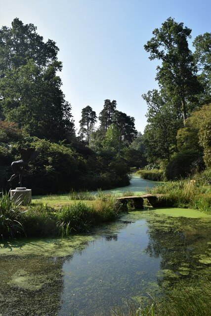
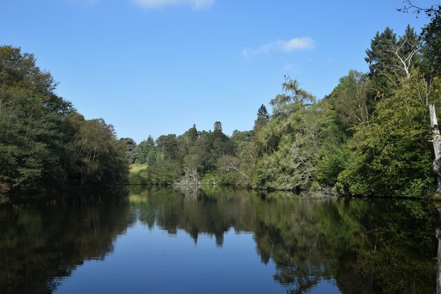
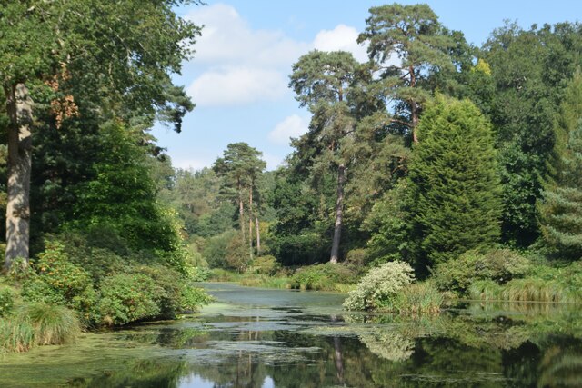
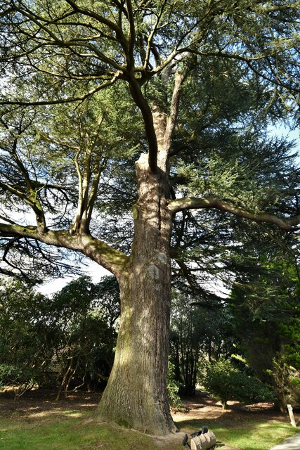
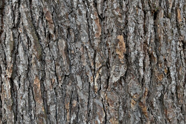
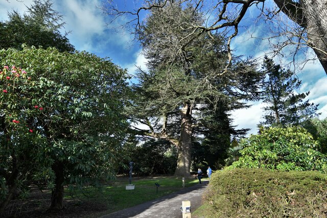
The copse itself is a dense woodland, primarily composed of beech and oak trees, which provide a sheltered habitat for a variety of birds and small mammals. The area is also home to a rich array of plant species, including heather, gorse, and bilberry, which contribute to the copse's vibrant and colorful atmosphere.
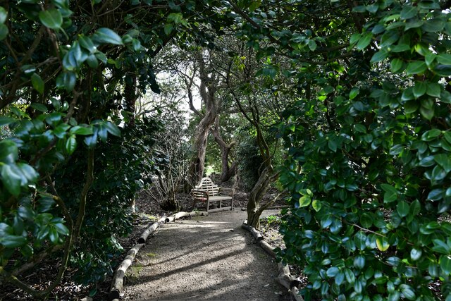
The undulating terrain of Nance Copse offers visitors the opportunity to explore its captivating landscape through a network of well-maintained trails. These pathways wind through the copse, allowing visitors to experience the natural beauty of the area firsthand. The views from the highest points in the copse are particularly breathtaking, offering panoramic vistas of the surrounding countryside.
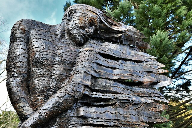
Beyond its natural beauty, Nance Copse has a rich history. The area has been inhabited for centuries, and evidence of human activity can still be found in the form of ancient burial mounds and archaeological remains. These historical landmarks add an additional layer of intrigue to the copse, making it an enticing destination for history enthusiasts.
Whether you are seeking a peaceful retreat in nature, an opportunity to observe wildlife, or a glimpse into the past, Nance Copse is a must-visit destination in Sussex Downs. Its stunning landscapes, diverse flora and fauna, and rich history make it a captivating and enchanting place to explore.
If you have any feedback on the listing, please let us know in the comments section below.
Nance Copse Images
Images are sourced within 2km of 51.013268/-0.24423823 or Grid Reference TQ2325. Thanks to Geograph Open Source API. All images are credited.


Nance Copse is located at Grid Ref: TQ2325 (Lat: 51.013268, Lng: -0.24423823)
Administrative County: West Sussex
District: Mid Sussex
Police Authority: Sussex
What 3 Words
///table.tickling.played. Near Cowfold, West Sussex
Nearby Locations
Related Wikis

Crabtree, West Sussex
Crabtree is a hamlet in the parish of Lower Beeding and in Horsham District of West Sussex, England. It lies on the A281 road 4.4 miles (7.1 km) southeast...

Leonardslee
Leonardslee is an English country house and English landscape garden and woodland garden in Lower Beeding, near Horsham, West Sussex, England. The Grade...

Colwood, West Sussex
Colwood is a village near Warninglid in West Sussex, England. It is the site of Colwood Manor. == References == The geographic coordinates are from the...
Warninglid
Warninglid (historically known as Warninglyth and Warningeld) is a small village in the Mid Sussex District of West Sussex, England. It lies on the B2115...
Newells Preparatory School
Newells Preparatory School came to Lower Beeding, Sussex, in 1946. It has been at Handcross and known as Handcross Park School since 1968. It merged with...

Lower Beeding
Lower Beeding is a village and civil parish in the Horsham District of West Sussex, England. The village lies on the B2110, B2115 and A281 roads 3.5 miles...

Wykehurst Place
Wykehurst Place (or Park) is a Gothic Revival mansion in Bolney, West Sussex, England, resembling more the châteaux of the Loire than an English manor...

Cowfold
Cowfold is a village and civil parish between Billingshurst and Haywards Heath in the Horsham District of West Sussex, England. The village is at the intersection...
Nearby Amenities
Located within 500m of 51.013268,-0.24423823Have you been to Nance Copse?
Leave your review of Nance Copse below (or comments, questions and feedback).