Alderlands
Downs, Moorland in Lincolnshire South Holland
England
Alderlands
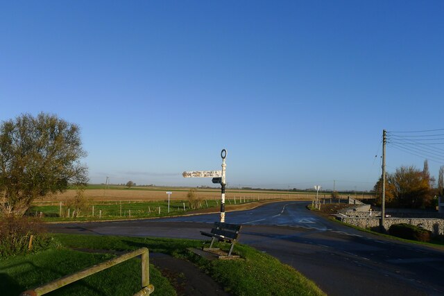
Alderlands is a picturesque region nestled in the heart of Lincolnshire, known for its breathtaking Downs and Moorland landscapes. Spanning over a vast area, this enchanting countryside offers a tranquil escape from the hustle and bustle of urban life.
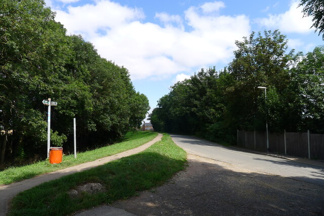
The Downs of Alderlands are characterized by rolling hills covered in lush green grasslands, creating a stunning backdrop for visitors and locals alike. The gentle slopes provide the perfect terrain for outdoor activities such as hiking, horseback riding, and cycling. As one explores the area, they will encounter an array of wildlife, from rabbits and hares to various species of birds.
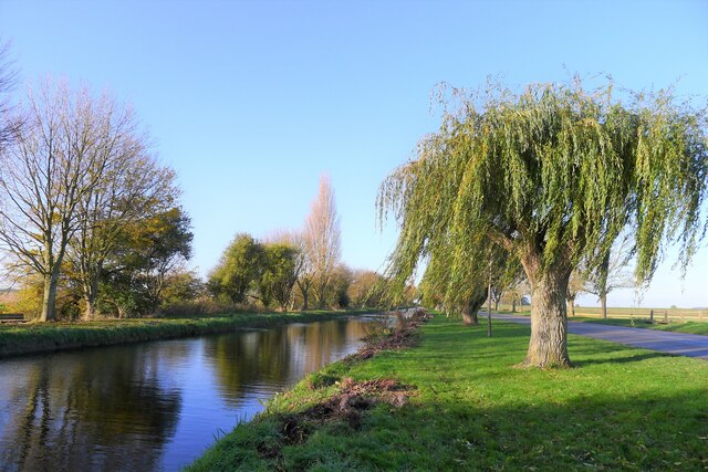
The Moorland in Alderlands is equally captivating. This rugged landscape features open expanses of heather and gorse, interspersed with shallow valleys and small streams. It is a paradise for nature enthusiasts, offering opportunities for birdwatching, botany studies, and photography. The moorland also serves as a habitat for rare plants and animals, including the endangered curlew and the vibrant purple moor grass.
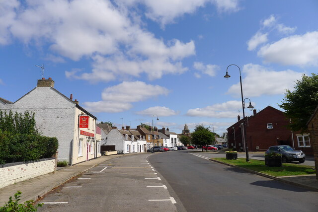
Visitors to Alderlands can also enjoy the charming villages and market towns scattered throughout the region. These communities reflect the rich history and cultural heritage of Lincolnshire, with their quaint cottages, traditional pubs, and historic landmarks. The locals are known for their warm hospitality and are always eager to share stories and insights about the area.
In summary, Alderlands, Lincolnshire, with its Downs and Moorland, is a captivating destination that offers a peaceful retreat into nature. Whether you seek outdoor adventure or a leisurely exploration of the countryside, this idyllic region is sure to leave you with unforgettable memories.
If you have any feedback on the listing, please let us know in the comments section below.
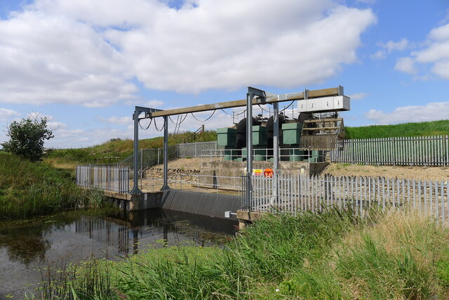
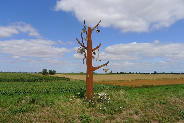
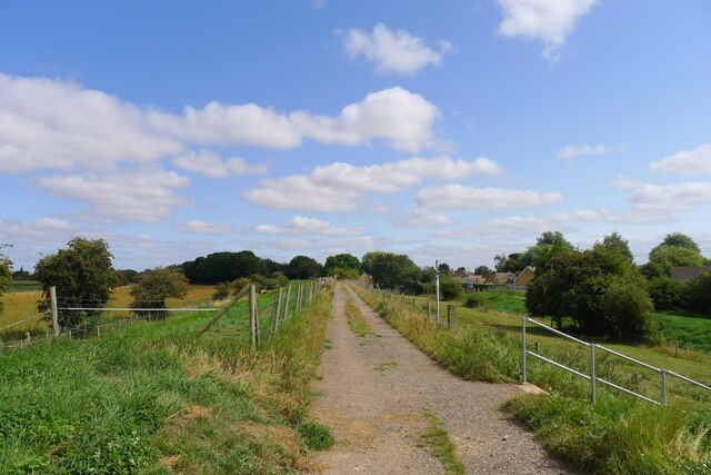
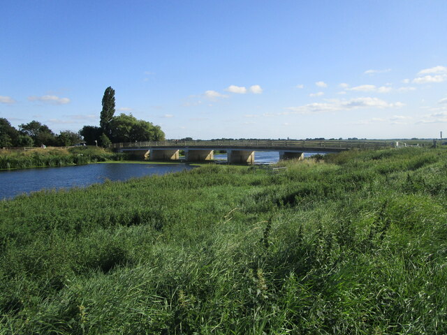
Alderlands Images
Images are sourced within 2km of 52.665753/-0.17930964 or Grid Reference TF2309. Thanks to Geograph Open Source API. All images are credited.
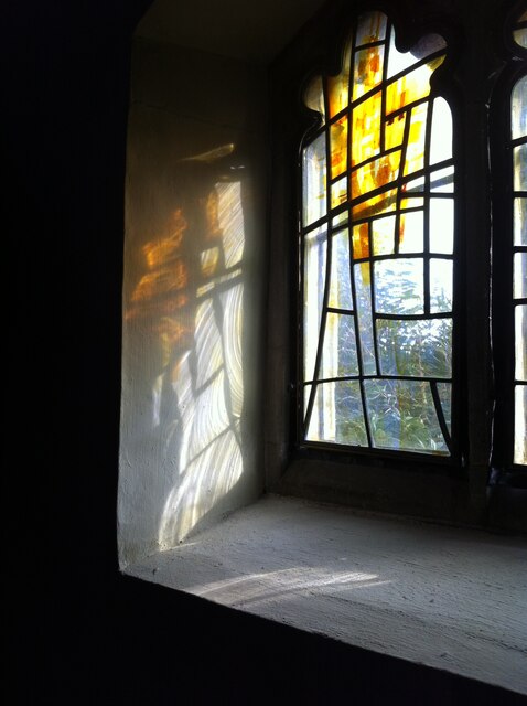
![Crowland Abbey &quot;... founded in memory of St. Guthlac early in the eighth century ... destroyed and the community slaughtered by the Danes in 866 ... [further destruction and rebuilding, and finally rebuilt late 12th century] ... From this time the history of Crowland was one of growing and almost unbroken prosperity down to the time of the Dissolution. Richly endowed by royal and noble visitors to the shrine of St. Guthlac, it became one of the most opulent of East Anglian abbeys; and owing to its isolated position in the heart of the fen country, its security and peace were comparatively undisturbed during the great civil wars and other national troubles.&quot; <span class="nowrap"><a title="https://crowlandabbey.org.uk/" rel="nofollow ugc noopener" href="https://crowlandabbey.org.uk/">Link</a><img style="margin-left:2px;" alt="External link" title="External link - shift click to open in new window" src="https://s1.geograph.org.uk/img/external.png" width="10" height="10"/></span>](https://s2.geograph.org.uk/geophotos/06/95/50/6955026_10a775a4.jpg)
![Crowland Abbey &quot;... founded in memory of St. Guthlac early in the eighth century ... destroyed and the community slaughtered by the Danes in 866 ... [further destruction and rebuilding, and finally rebuilt late 12th century] ... From this time the history of Crowland was one of growing and almost unbroken prosperity down to the time of the Dissolution. Richly endowed by royal and noble visitors to the shrine of St. Guthlac, it became one of the most opulent of East Anglian abbeys; and owing to its isolated position in the heart of the fen country, its security and peace were comparatively undisturbed during the great civil wars and other national troubles.&quot; <span class="nowrap"><a title="https://crowlandabbey.org.uk/" rel="nofollow ugc noopener" href="https://crowlandabbey.org.uk/">Link</a><img style="margin-left:2px;" alt="External link" title="External link - shift click to open in new window" src="https://s1.geograph.org.uk/img/external.png" width="10" height="10"/></span>](https://s3.geograph.org.uk/geophotos/06/95/50/6955027_a60c488b.jpg)
Alderlands is located at Grid Ref: TF2309 (Lat: 52.665753, Lng: -0.17930964)
Administrative County: Lincolnshire
District: South Holland
Police Authority: Lincolnshire
What 3 Words
///motoring.riverbank.deed. Near Crowland, Lincolnshire
Nearby Locations
Related Wikis

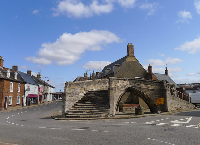
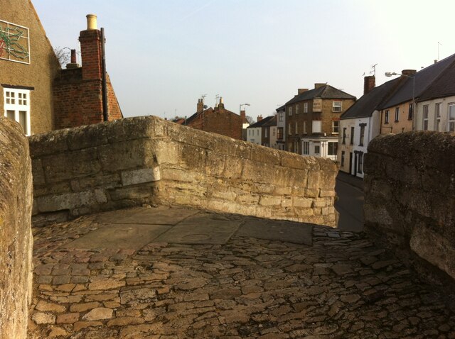
Trinity Bridge, Crowland
Trinity Bridge is a unique three-way stone arch bridge that stands at the heart of Crowland, Lincolnshire, England. While it once spanned the confluence...

Crowland
Crowland (modern usage) or Croyland (medieval era name and the one still in ecclesiastical use; cf. Latin: Croilandia) is a town in the South Holland district...

Crowland Abbey
Crowland Abbey (historically often spelled Croyland Abbey; Latin: Croilandia) is a Church of England parish church, formerly part of a Benedictine abbey...
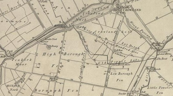
Borough Fen
Borough Fen is a civil parish in the City of Peterborough unitary authority in Cambridgeshire, England. The parish is to the north of Peterborough city...
Related Videos

Walk Around Crowland Abbey
Walk Around Crowland Abbey.

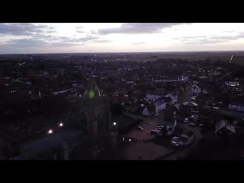
Crowland abbey flight
Flight round Crowland abbey in Cambridgeshire. Crowland abbey was a monastery first founded in the early 8th century.

Crowland Abbey
History of the Abbey of Crowland Crowland Abbey was a monastery of the Benedictine Order in Lincolnshire, sixteen miles from ...
Nearby Amenities
Located within 500m of 52.665753,-0.17930964Have you been to Alderlands?
Leave your review of Alderlands below (or comments, questions and feedback).