Algarkirk Fen

Downs, Moorland in Lincolnshire Boston

England

Algarkirk Fen

Windmill Lodge Butterfly Garden <span class="nowrap"><a title="www.homeforbutterflies.com" rel="nofollow ugc noopener" href="http://www.homeforbutterflies.com">Link</a><img style="margin-left:2px;" alt="External link" title="External link - shift click to open in new window" src="https://s1.geograph.org.uk/img/external.png" width="10" height="10"/></span>
Award winning butterfly garden in Amber Hill. 2017 shot of the wild flower meadow leading into the woodland garden.
Windmill Lodge Butterfly Garden Credit: Phil Bowler

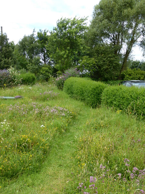
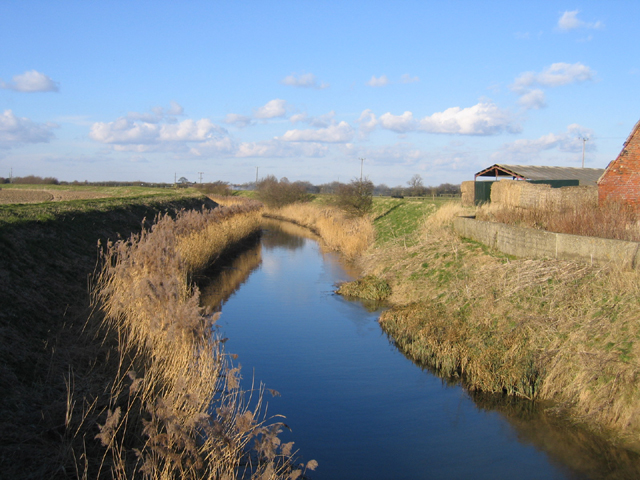
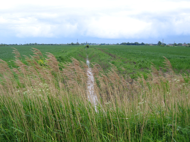
Algarkirk Fen is a nature reserve situated in Lincolnshire, England. It is a significant part of the Lincolnshire Fens, which is a flat, marshy region known for its rich biodiversity and unique landscape. The fen covers an area of approximately 60 hectares and is a designated Site of Special Scientific Interest (SSSI).

The reserve is characterized by its diverse range of habitats, including low-lying grassland, wet meadows, reed beds, and open water areas. These habitats provide a home to a variety of plant and animal species, many of which are rare or endangered. Algarkirk Fen is particularly renowned for its birdlife, attracting numerous species throughout the year. Visitors can spot birds such as bitterns, marsh harriers, and bearded tits, making it a popular destination for birdwatchers.

The fen is also home to a number of plant species, including rare orchids, sedges, and grasses. The wetland areas support a variety of aquatic plants, adding to the overall biodiversity of the reserve. In addition to its natural features, Algarkirk Fen also boasts archaeological significance, with evidence of Iron Age and Roman settlements found in the surrounding area.

The reserve is managed by a local conservation organization, which works to protect and enhance the habitats within Algarkirk Fen. This includes regular monitoring and maintenance of the site, as well as educational programs and guided walks to raise awareness about the importance of wetland conservation.

Overall, Algarkirk Fen is a unique and valuable natural resource in Lincolnshire, providing a haven for wildlife and offering visitors the opportunity to appreciate the beauty and ecological importance of the Lincolnshire Fens.

If you have any feedback on the listing, please let us know in the comments section below.

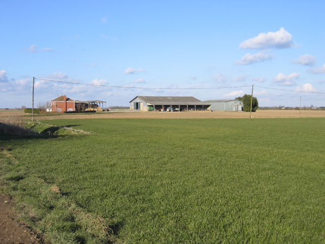
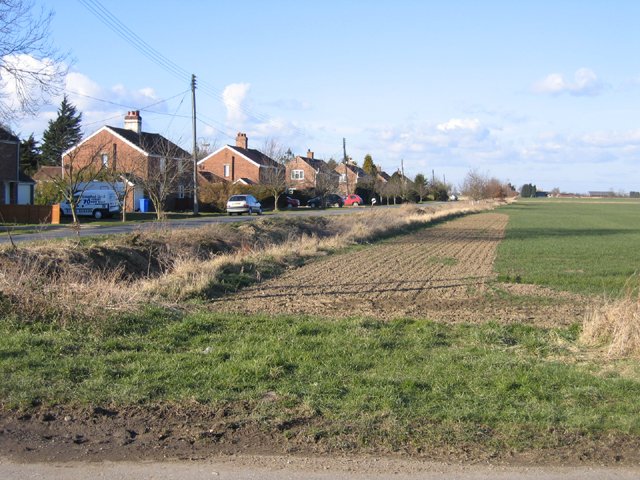
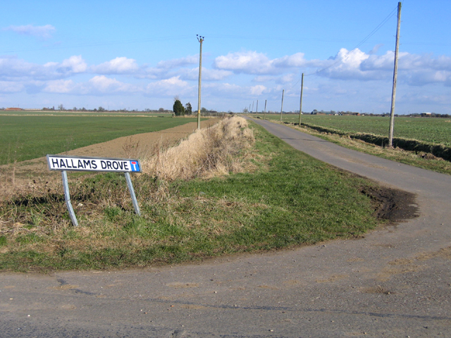
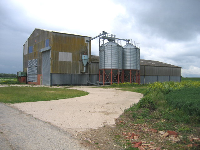
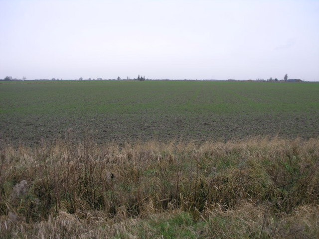
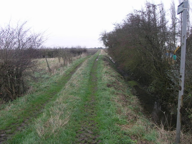
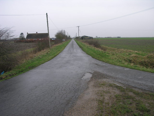
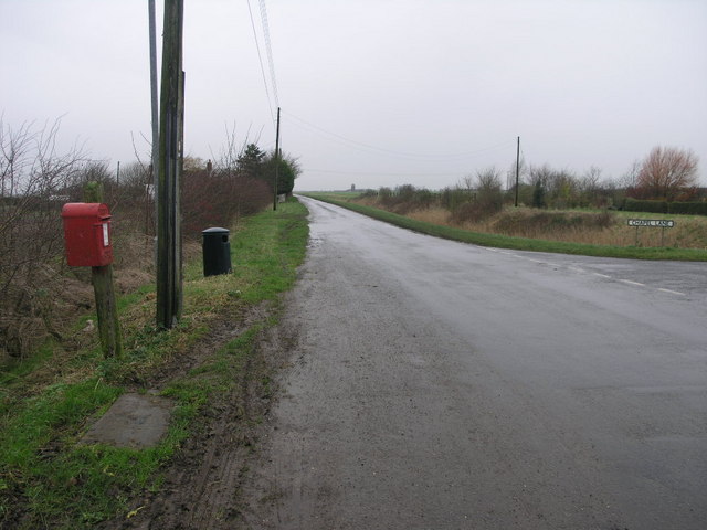
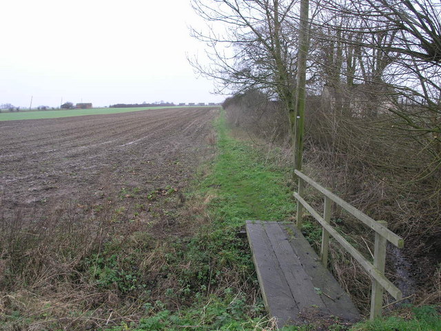
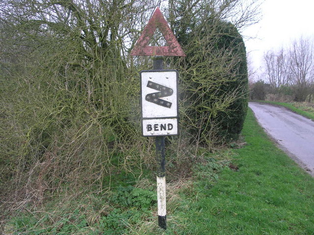
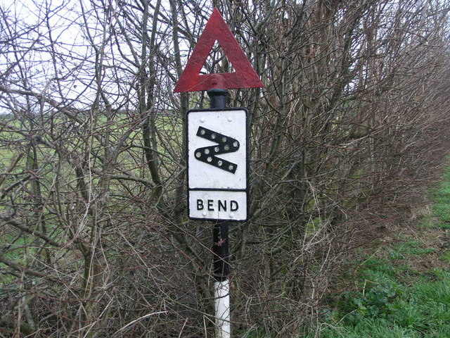
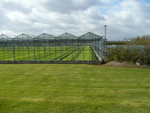
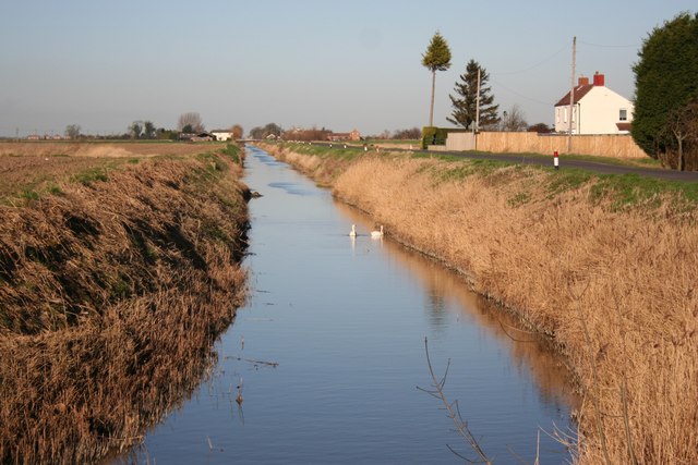
Algarkirk Fen Images

Images are sourced within 2km of 52.982937/-0.16486856 or Grid Reference TF2344. Thanks to Geograph Open Source API. All images are credited.

Windmill Lodge Butterfly Garden <span class="nowrap"><a title="www.homeforbutterflies.com" rel="nofollow ugc noopener" href="http://www.homeforbutterflies.com">Link</a><img style="margin-left:2px;" alt="External link" title="External link - shift click to open in new window" src="https://s1.geograph.org.uk/img/external.png" width="10" height="10"/></span>
Award winning butterfly garden in Amber Hill. 2017 shot of the wild flower meadow leading into the woodland garden.
Windmill Lodge Butterfly Garden
LinkExternal link Award winning butterfly garden in Amber Hill. 2017 shot of the wild flower meadow leading into the woodland garden.
College Farm, Swineshead, Lincs – view NE from the northern end of Brown's Drove, in the parish field known as 'The Rakes'.
College Farm, Swineshead, Lincs
– view NE from the northern end of Brown's Drove, in the parish field known as 'The Rakes'.
Brown's Drove, Swineshead, Lincs – view N with the 'council houses' along the western side of the road.
Brown's Drove, Swineshead, Lincs
– view N with the 'council houses' along the western side of the road.
Hallam's Drove, Swineshead, Lincs – view E across the Far Cattle Holme parish field.
Hallam's Drove, Swineshead, Lincs
– view E across the Far Cattle Holme parish field.
Skerth Drain, Swineshead-Algarkirk Fen, Lincs – view N from Skerth Bridge along the parish boundary, with Skerth End Farm on the right.
Skerth Drain, Swineshead-Algarkirk Fen, Lincs
– view N from Skerth Bridge along the parish boundary, with Skerth End Farm on the right.
Boardsides between Swineshead Bridge and Hubbert's Bridge, Lincs – view ENE of the parallel A1121 road, Sleaford-Boston railway and South Forty Foot Drain (hidden right).
Boardsides between Swineshead Bridge and Hubbert's Bridge, Lincs
– view ENE of the parallel A1121 road, Sleaford-Boston railway and South Forty Foot Drain (hidden right).
View from the Boardsides towards Algarkirk Fen, Lincs
Sykemouth Drove, Swineshead, Lincs
Syke Mouth ditch, Swineshead, Lincs looking south towards Swineshead church in the far distance <a href="https://www.geograph.org.uk/photo/51875">TF2340 : Parish Church, Swineshead, Lincs</a>.
Syke Mouth ditch, Swineshead, Lincs
looking south towards Swineshead church in the far distance TF2340 : Parish Church, Swineshead, Lincs.
Farm building, Syke Mouth, Swineshead, Lincs
Big Flat Field It could be anywhere in the fens but this featureless field is in TF2444.
Big Flat Field
It could be anywhere in the fens but this featureless field is in TF2444.
Corner Footpath This footpath crosses the SE corner of this square following the line of a small land drain on its journey.
Corner Footpath
This footpath crosses the SE corner of this square following the line of a small land drain on its journey.
Ullyatts Drove This drove road leads across Algakirk Fen.
Ullyatts Drove
This drove road leads across Algakirk Fen.
Red Box on a Grey Day This old (GR) post box provides a little colour in this grey and green fenland.
Evison's (Corn) Mill once stood on the corner of the piece of land opposite.
Red Box on a Grey Day
This old (GR) post box provides a little colour in this grey and green fenland. Evison's (Corn) Mill once stood on the corner of the piece of land opposite.
Path up the Hill This footpath crosses over Amber Hill which can be seen rising inches above the surrounding fens.
Path up the Hill
This footpath crosses over Amber Hill which can be seen rising inches above the surrounding fens.
Sharp Bend Sign This sign warning of sharp bends looks like it has seen at least half a century of service.
Sharp Bend Sign
This sign warning of sharp bends looks like it has seen at least half a century of service.
Sharp Bend Sign Other Way Unlike the sign that warns of the sharp bends coming from the other direction, this one has at least had its red triangle painted.
Sharp Bend Sign Other Way
Unlike the sign that warns of the sharp bends coming from the other direction, this one has at least had its red triangle painted.
Glasshouse at Silver Mist Nurseries A leading producer of young vegetable plants situated near the centre of the UK's prime vegetable-growing area.
The shot shows a lagoon for irrigation water to the right.
The nursery is north of the A1121 and west of Hubbert's Bridge.
Glasshouse at Silver Mist Nurseries
A leading producer of young vegetable plants situated near the centre of the UK's prime vegetable-growing area. The shot shows a lagoon for irrigation water to the right. The nursery is north of the A1121 and west of Hubbert's Bridge.
Show me another place!

Algarkirk Fen is located at Grid Ref: TF2344 (Lat: 52.982937, Lng: -0.16486856)

Administrative County: Lincolnshire

District: Boston

Police Authority: Lincolnshire

What 3 Words

///uppermost.slam.roses. Near Swineshead, Lincolnshire

Nearby Locations

Algarkirk Fen

Related Wikis

Swineshead railway station

Swineshead railway station serves the village of Swineshead in Lincolnshire, England. Although named Swineshead, the station is, in reality, located in...

Amber Hill

Amber Hill is a village and civil parish in Lincolnshire, England, approximately 6 miles (10 km) west-north-west from Boston. The 2001 Census measured...

Hubberts Bridge

Hubberts Bridge is a village in the borough of Boston, Lincolnshire, England. It is situated within the civil parish of Frampton, and approximately 3 miles...

Kirton Holme

Kirton Holme is a village in Lincolnshire, England. It is situated within Kirton civil parish, and approximately 4 miles (6 km) west from the town of...

North Forty Foot Bank

The North Forty Foot Bank is a settlement which runs about 6 miles (10 km) along the North Forty Foot Drain, about five to nine miles north-west of Boston...

Hubberts Bridge railway station

Hubberts Bridge railway station serves the village of Hubberts Bridge in Lincolnshire, England. It is located on the Sleaford to Boston section of the...

Borough of Boston

The Borough of Boston is a local government district with borough status in Lincolnshire, England. Its council is based in the town of Boston. The borough...

Baythorpe

Baythorpe is a village in Lincolnshire, England. It is in the civil parish of Swineshead. == References == == External links == Media related to Baythorpe...

Nearby Amenities

Located within 500m of 52.982937,-0.16486856
Note: Name?
Place: farm
Source: Bing
Lat/Long: 52.9844641/-0.160937
Power: pole
Source: Bing
Lat/Long: 52.9816401/-0.1579845
Power: pole
Source: Bing
Lat/Long: 52.9823997/-0.157886
Power: pole
Source: Bing
Lat/Long: 52.9833143/-0.1577652
Material: wood
Power: pole
Lat/Long: 52.9857985/-0.1602205
Material: wood
Power: pole
Lat/Long: 52.9855066/-0.1612069
Material: wood
Power: tower
Transformer: distribution
Lat/Long: 52.9852107/-0.1622066
Material: wood
Power: pole
Lat/Long: 52.9848403/-0.1634839
Material: wood
Power: pole
Lat/Long: 52.9844619/-0.1647511
Material: wood
Power: pole
Lat/Long: 52.9840935/-0.1660083
Material: wood
Power: pole
Lat/Long: 52.9837288/-0.1672666
Material: wood
Power: pole
Lat/Long: 52.9833314/-0.1686306
Line Management: termination
Location Transition: yes
Material: wood
Power: pole
Lat/Long: 52.9829397/-0.1699482
Design: h-frame
Location Transition: yes
Material: wood
Power: tower
Transformer: distribution
Lat/Long: 52.983996/-0.1712151
The data included in this document is from www.openstreetmap.org. The data is made available under ODbL.

Have you been to Algarkirk Fen?

Leave your review of Algarkirk Fen below (or comments, questions and feedback).