Gosberton Fen
Downs, Moorland in Lincolnshire South Holland
England
Gosberton Fen

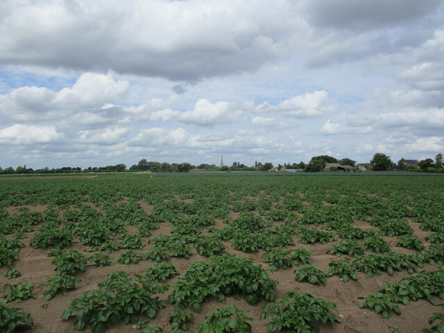
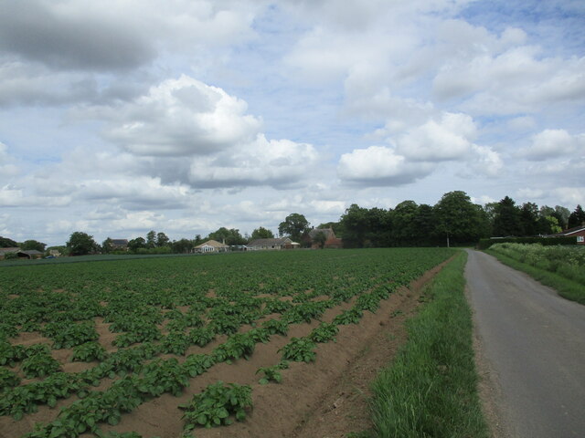
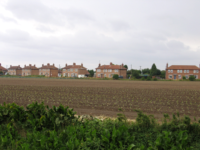
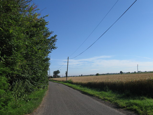
Gosberton Fen is a picturesque area located in Lincolnshire, England. It is known for its diverse natural landscape, encompassing downs, moorland, and fenland. The fenland in particular is a prominent feature of the area, characterized by its flat, marshy terrain and abundant wetland vegetation.
Covering a vast area, Gosberton Fen is home to a rich variety of flora and fauna. The fens are populated by numerous species of water-loving plants, such as reeds, sedges, and rushes, which thrive in the wet conditions. These wetlands provide an ideal habitat for a wide range of birdlife, including species such as the bittern, marsh harrier, and water rail.
In addition to the fens, Gosberton Fen also boasts areas of downs and moorland. The downs are gently rolling hills covered in grass and heather, offering panoramic views of the surrounding countryside. Moorland areas are characterized by their open, windswept landscapes, dotted with patches of heather and gorse.
The diverse landscape of Gosberton Fen attracts nature enthusiasts, hikers, and birdwatchers from far and wide. The area offers several walking trails, allowing visitors to explore its natural beauty and encounter its unique wildlife. The fens, downs, and moorland of Gosberton Fen combine to create a stunning and varied landscape, providing a tranquil escape for those seeking to immerse themselves in the beauty of nature.
If you have any feedback on the listing, please let us know in the comments section below.
Gosberton Fen Images
Images are sourced within 2km of 52.848557/-0.18372844 or Grid Reference TF2229. Thanks to Geograph Open Source API. All images are credited.


Gosberton Fen is located at Grid Ref: TF2229 (Lat: 52.848557, Lng: -0.18372844)
Administrative County: Lincolnshire
District: South Holland
Police Authority: Lincolnshire
What 3 Words
///rabble.symphonic.dusts. Near Gosberton, Lincolnshire
Nearby Locations
Related Wikis

Gosberton railway station
Gosberton railway station was a station in Gosberton, Lincolnshire. It was opened in 1882 and closed for passengers on 11 September 1961 and freight on...

Risegate
Risegate is a village in the civil parish of Gosberton and the South Holland district of Lincolnshire, England. It is 30 miles (50 km) south-east from...

Westhorpe, Lincolnshire
Westhorpe is a hamlet in the civil parish of Gosberton and the South Holland district of Lincolnshire, England. It is 30 miles (50 km) south-east from...
Gosberton Clough
Gosberton Clough is a village in the civil parish of Gosberton and the South Holland district of Lincolnshire, England. It is 30 miles (50 km) south-east...

Gosberton
Gosberton is a village and civil parish in the South Holland district of Lincolnshire, England. It is situated 9 miles (14.5 km) south-west of Boston,...

Surfleet
Surfleet is a small village and civil parish in the South Holland district of Lincolnshire, England. It is situated on the B1356 road, 3 miles (4.8 km...

Belnie
Belnie is a hamlet in the civil parish of Gosberton, Lincolnshire, England. == References ==

A152 road
The A152 is a small non-primary A-road in Lincolnshire, from Donington to Surfleet linking the A52 and the A16, two major primary routes. Between Donington...
Nearby Amenities
Located within 500m of 52.848557,-0.18372844Have you been to Gosberton Fen?
Leave your review of Gosberton Fen below (or comments, questions and feedback).