Hookland's Field
Downs, Moorland in Sussex Horsham
England
Hookland's Field
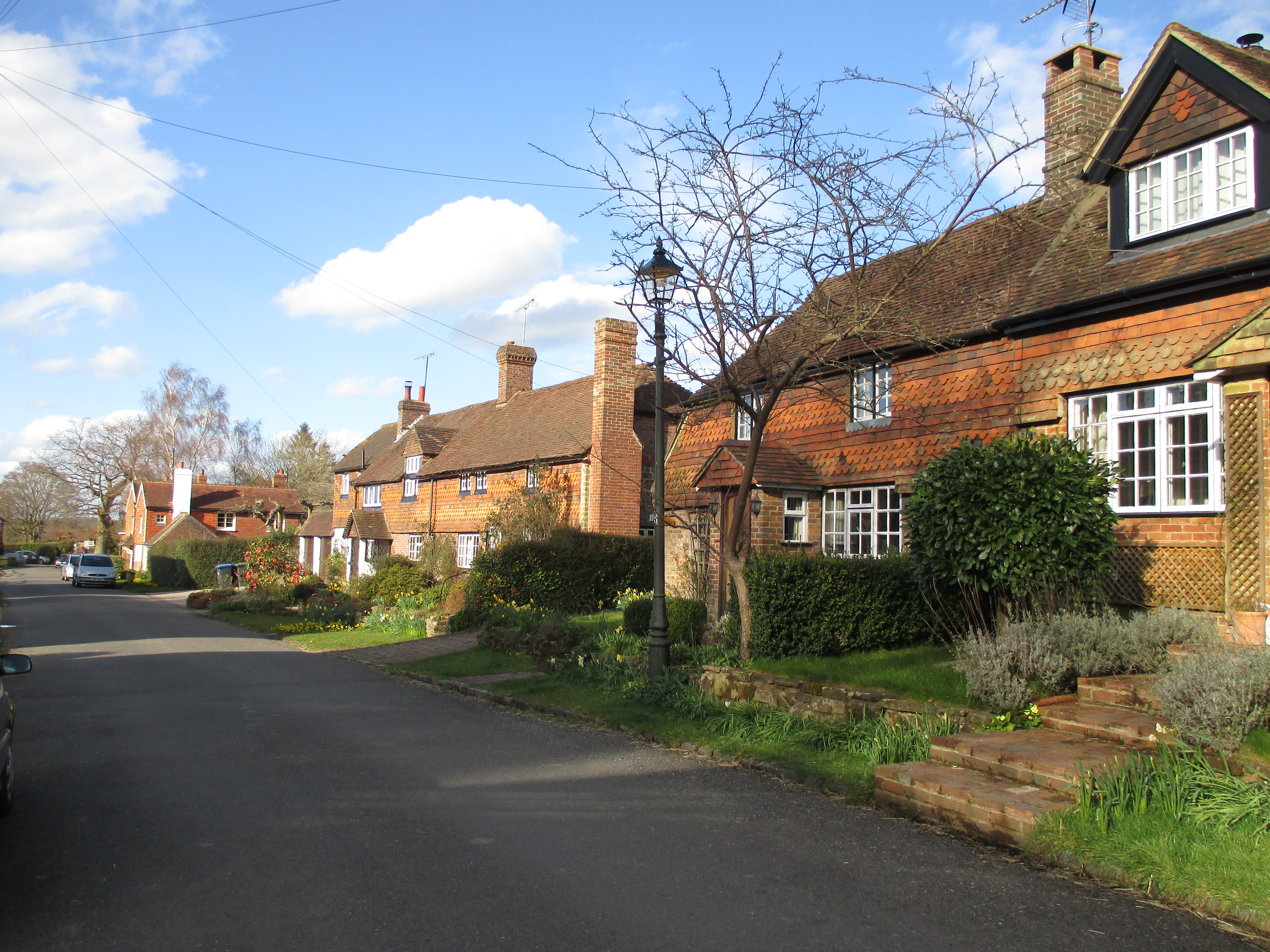
Hookland's Field is a picturesque and captivating area located in Sussex, England. Nestled amidst the stunning natural beauty of the South Downs and Moorland, this landscape offers a diverse range of features that make it a popular destination for nature enthusiasts and tourists alike.
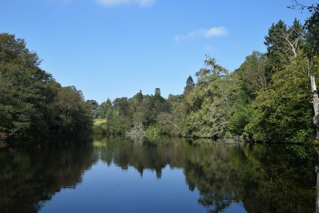
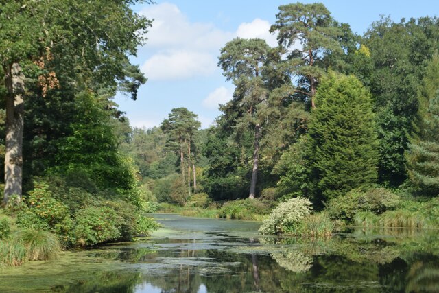
The field is characterized by its rolling hills, lush green meadows, and scattered patches of vibrant wildflowers. The undulating terrain is a result of the geological processes that shaped the region, with the Downs offering breathtaking panoramic views of the surrounding countryside.
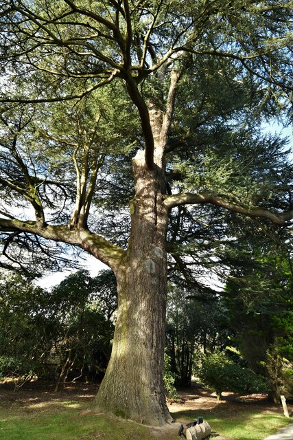
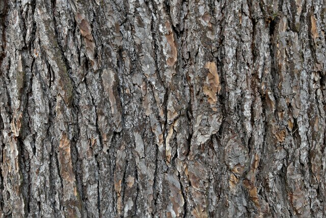
The area is home to a rich variety of flora and fauna, including numerous species of birds, butterflies, and small mammals. The vast expanse of moorland provides an ideal habitat for a multitude of plant species, such as heather and gorse, adding to the area's natural beauty.
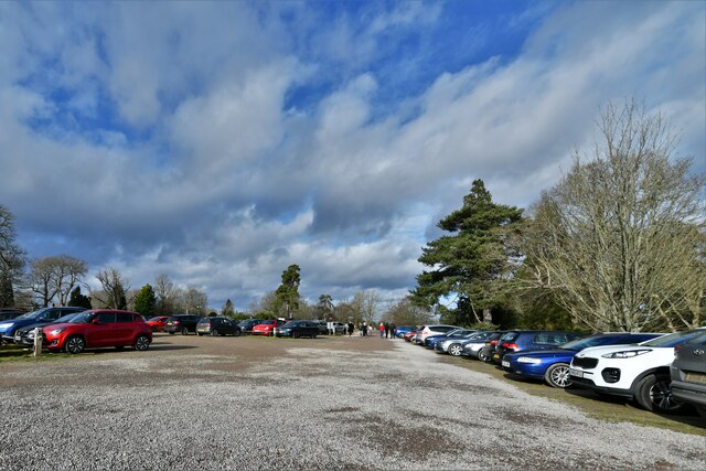
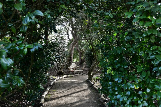
Walking trails and footpaths crisscross the landscape, allowing visitors to explore the field and discover its hidden treasures. The field's proximity to nearby villages and towns makes it easily accessible, and its tranquil atmosphere offers a welcome escape from the hustle and bustle of everyday life.
Hookland's Field also holds historical significance, with archaeological evidence suggesting human habitation in the area dating back thousands of years. Ancient burial mounds and remnants of prehistoric settlements can be found scattered throughout the landscape, adding a touch of mystery and intrigue to the field.
In summary, Hookland's Field in Sussex is a captivating and diverse natural landscape, offering visitors the opportunity to immerse themselves in the beauty of the South Downs and Moorland. With its stunning views, abundant wildlife, and historical significance, it is a place that truly captures the essence of the English countryside.
If you have any feedback on the listing, please let us know in the comments section below.
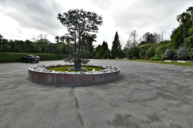
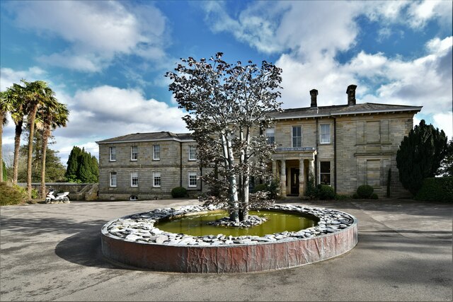
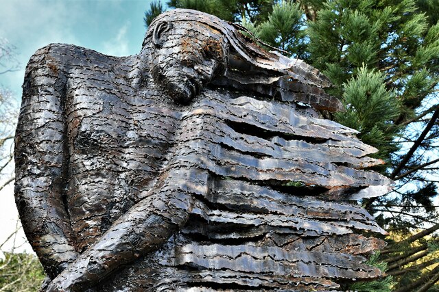
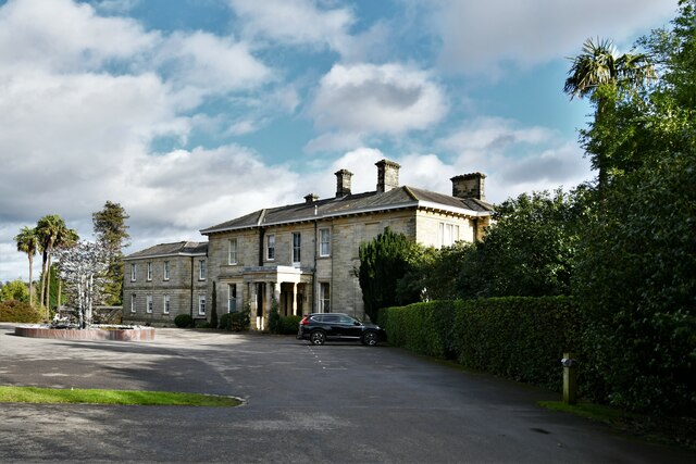
Hookland's Field Images
Images are sourced within 2km of 51.004549/-0.25652615 or Grid Reference TQ2224. Thanks to Geograph Open Source API. All images are credited.


Hookland's Field is located at Grid Ref: TQ2224 (Lat: 51.004549, Lng: -0.25652615)
Administrative County: West Sussex
District: Horsham
Police Authority: Sussex
What 3 Words
///wished.reward.improvise. Near Cowfold, West Sussex
Nearby Locations
Related Wikis

Crabtree, West Sussex
Crabtree is a hamlet in the parish of Lower Beeding and in Horsham District of West Sussex, England. It lies on the A281 road 4.4 miles (7.1 km) southeast...

Leonardslee
Leonardslee is an English country house and English landscape garden and woodland garden in Lower Beeding, near Horsham, West Sussex, England. The Grade...

Cowfold
Cowfold is a village and civil parish between Billingshurst and Haywards Heath in the Horsham District of West Sussex, England. The village is at the intersection...

Colwood, West Sussex
Colwood is a village near Warninglid in West Sussex, England. It is the site of Colwood Manor. == References == The geographic coordinates are from the...
Newells Preparatory School
Newells Preparatory School came to Lower Beeding, Sussex, in 1946. It has been at Handcross and known as Handcross Park School since 1968. It merged with...

Lower Beeding
Lower Beeding is a village and civil parish in the Horsham District of West Sussex, England. The village lies on the B2110, B2115 and A281 roads 3.5 miles...
Warninglid
Warninglid (historically known as Warninglyth and Warningeld) is a small village in the Mid Sussex District of West Sussex, England. It lies on the B2115...

Maplehurst, West Sussex
Maplehurst is a hamlet in the civil parish of Nuthurst, and the Horsham District of West Sussex, England. The hamlet is on the Copsale to Nuthurst road...
Nearby Amenities
Located within 500m of 51.004549,-0.25652615Have you been to Hookland's Field?
Leave your review of Hookland's Field below (or comments, questions and feedback).