Borough Fen
Downs, Moorland in Northamptonshire
England
Borough Fen
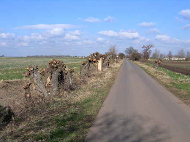
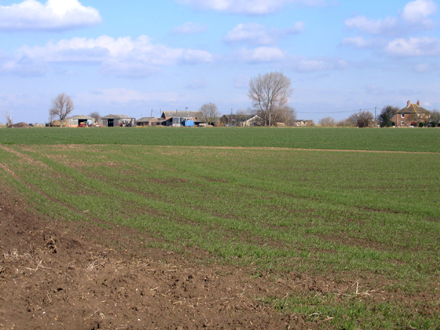
Borough Fen is a small village located in Northamptonshire, England. Situated in the eastern part of the county, it is known for its picturesque downs and moorland landscapes. The village is surrounded by vast open spaces, providing a tranquil and rural atmosphere.
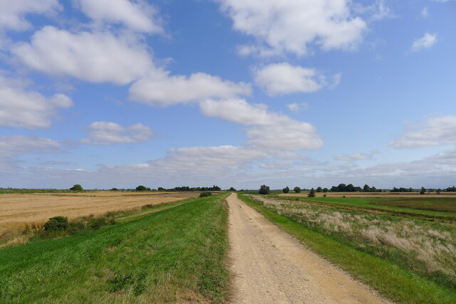
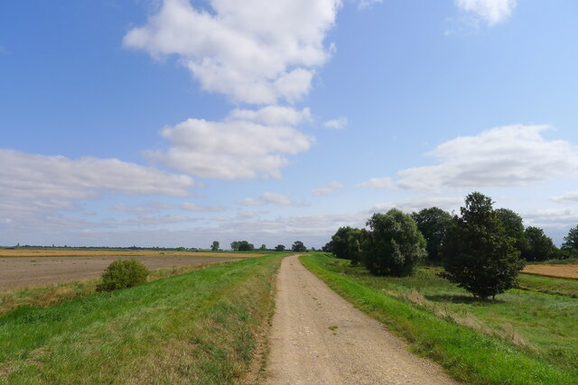
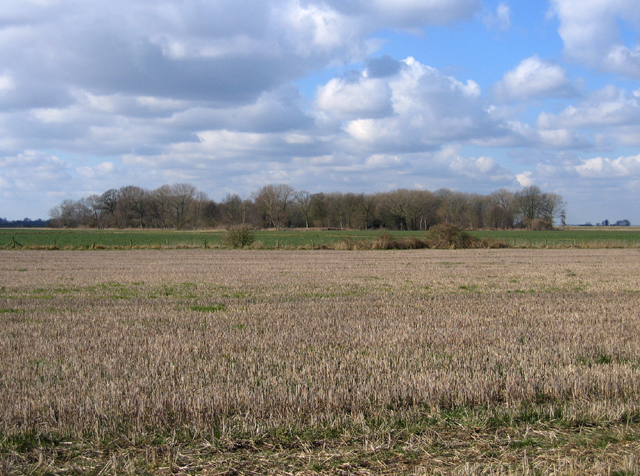
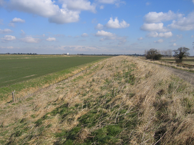
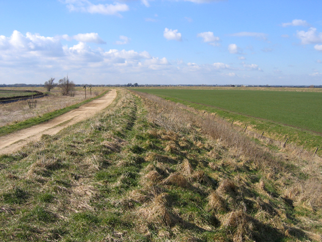
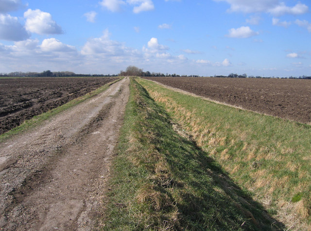
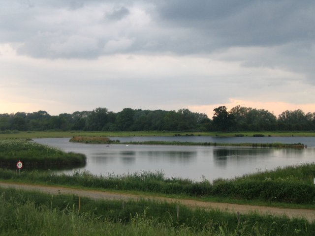
The downs in Borough Fen offer stunning views of the countryside, with rolling hills and expansive green fields. These downs are home to a variety of flora and fauna, including wildflowers, grasses, and small mammals. They provide ample opportunities for hiking and walking, attracting nature enthusiasts and outdoor enthusiasts alike.
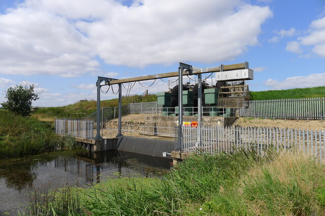
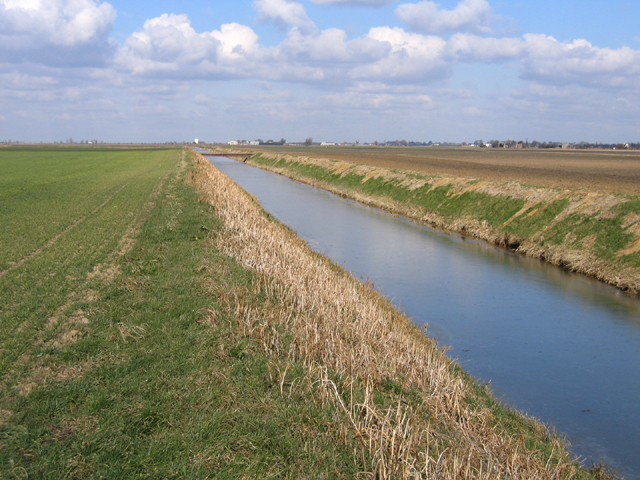
The moorland in Borough Fen is characterized by its wet and marshy terrain. It is a valuable habitat for many bird species, including waterfowl and wading birds. The moorland is also home to a diverse range of plant life, such as heather and sphagnum moss. This unique ecosystem attracts birdwatchers and nature photographers.
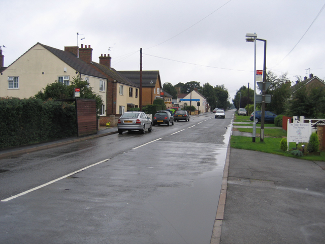
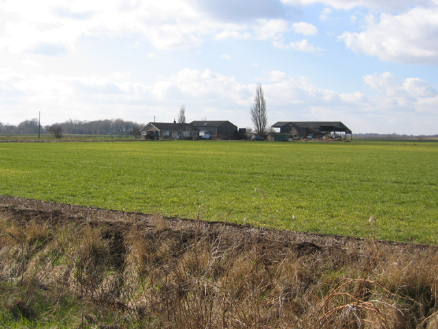
The village itself is small but charming, with a close-knit community. It has a few local amenities, including a village hall and a small pub. The residents of Borough Fen take pride in their village and often participate in community events and activities.
Overall, Borough Fen offers a peaceful and idyllic setting, ideal for those seeking a retreat from the hustle and bustle of city life. Its downs and moorland provide opportunities for outdoor exploration and enjoyment of nature, making it a hidden gem in Northamptonshire.
If you have any feedback on the listing, please let us know in the comments section below.
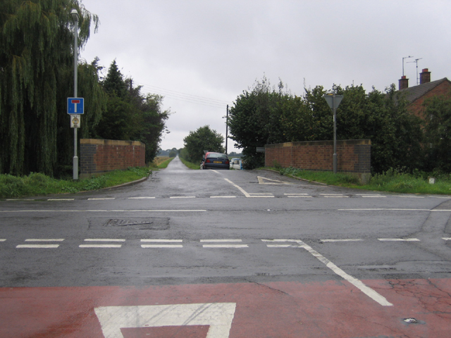
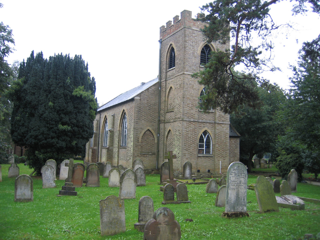
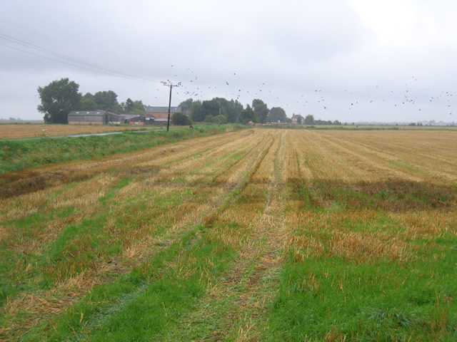
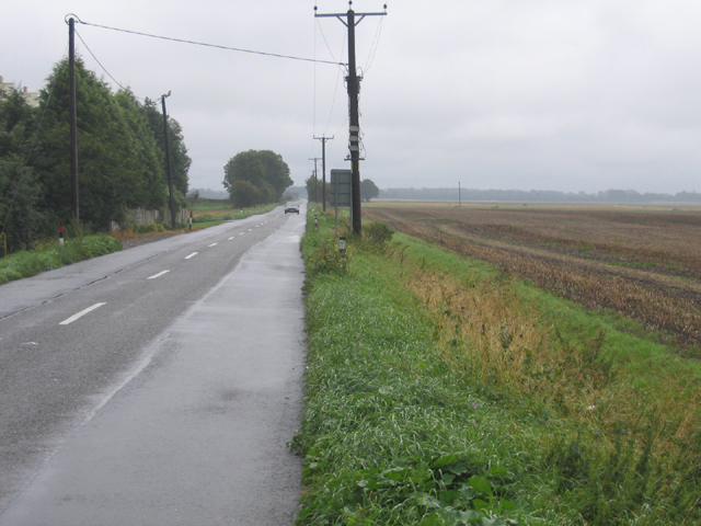
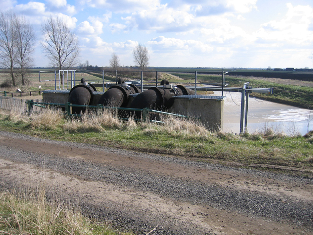
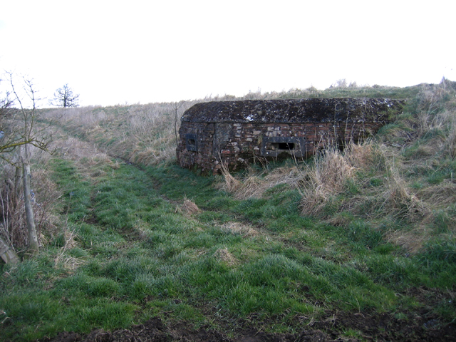
Borough Fen Images
Images are sourced within 2km of 52.651638/-0.20770407 or Grid Reference TF2107. Thanks to Geograph Open Source API. All images are credited.
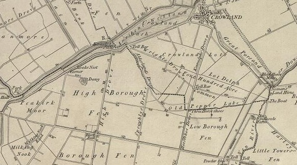
Borough Fen is located at Grid Ref: TF2107 (Lat: 52.651638, Lng: -0.20770407)
Division: Soke of Peterborough
Unitary Authority: Peterborough
Police Authority: Cambridgeshire
What 3 Words
///perform.imprints.collapsed. Near Newborough, Cambridgeshire
Nearby Locations
Related Wikis
Borough Fen
Borough Fen is a civil parish in the City of Peterborough unitary authority in Cambridgeshire, England. The parish is to the north of Peterborough city...
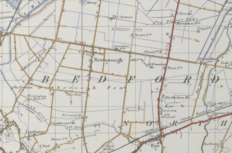
Newborough, Cambridgeshire
Newborough is a village and a civil parish in the Peterborough district, in the ceremonial county of Cambridgeshire, England. Newborough is situated 7...
Deeping Lakes Nature Reserve
Deeping Lakes Nature Reserve, also known as Deeping Gravel Pits is a local nature reserve with an area of over 160 acres located south-east of Deeping...

St James Deeping railway station
St James Deeping is a former railway station which served the village of Deeping St James and town of Market Deeping in Lincolnshire, England. It was on...
Nearby Amenities
Located within 500m of 52.651638,-0.20770407Have you been to Borough Fen?
Leave your review of Borough Fen below (or comments, questions and feedback).