New Meadow

Downs, Moorland in Huntingdonshire Huntingdonshire

England

New Meadow

Path in Stanground South Part of a landscaped area in the southern expansion of Peterborough.
Path in Stanground South Credit: Bill Boaden

New Meadow is a picturesque area located in Huntingdonshire, known for its idyllic Downs and Moorland landscapes. Situated in the eastern part of England, it is surrounded by lush greenery and rolling hills, offering a serene and tranquil environment for visitors and residents alike.

The Downs of New Meadow are characterized by their gently sloping hills, covered in rich grasslands and dotted with vibrant wildflowers. This expansive area provides ample space for outdoor activities such as hiking, picnicking, and birdwatching. The views from the Downs are breathtaking, offering panoramic vistas of the surrounding countryside.

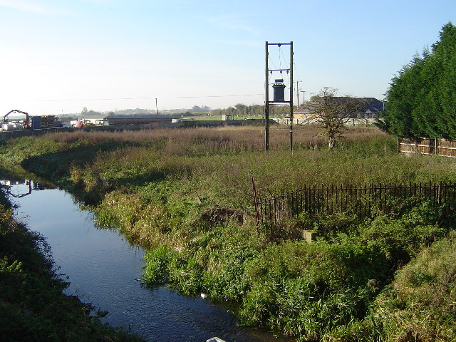
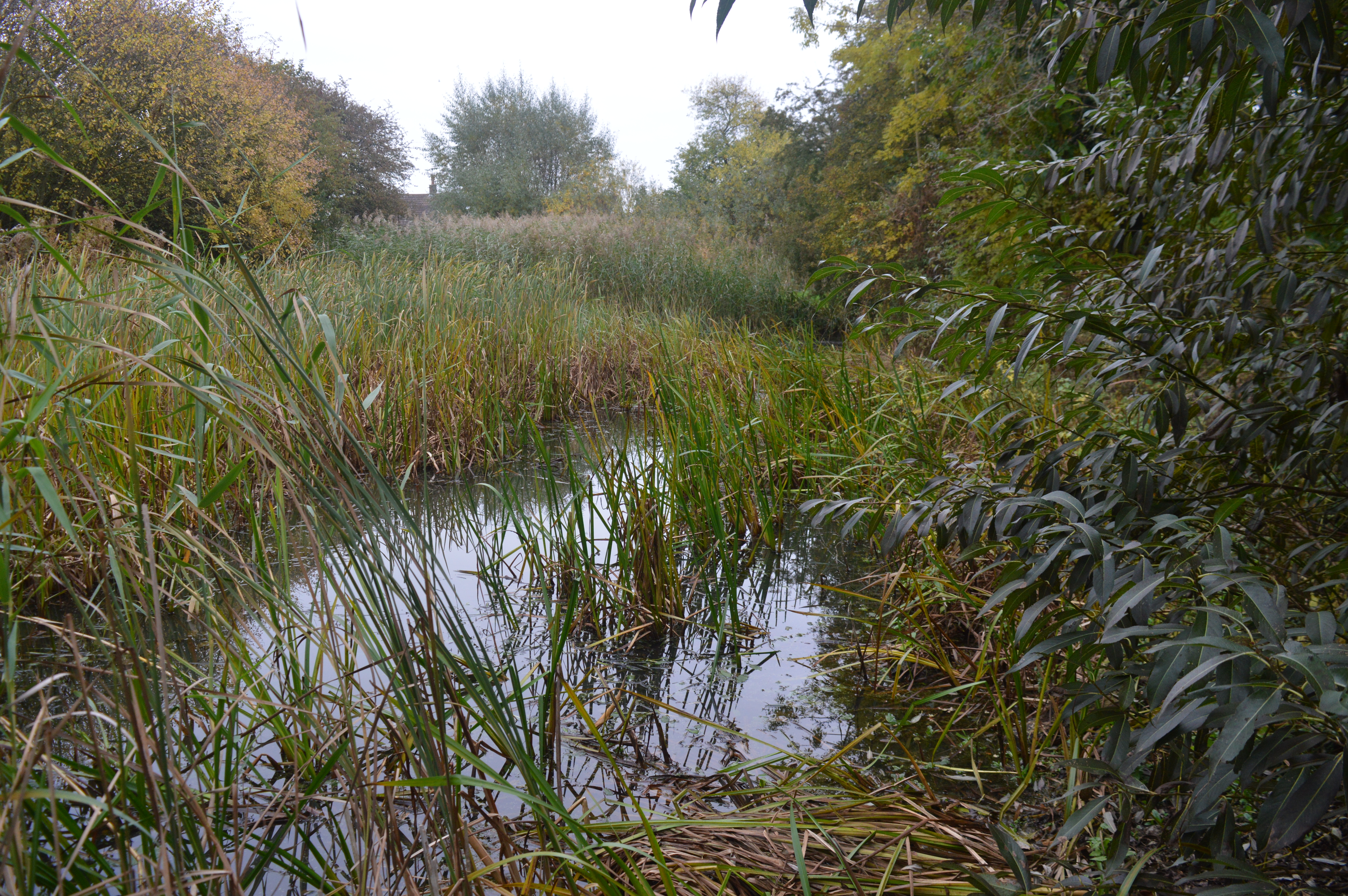
In contrast, the Moorland of New Meadow presents a slightly different landscape. Here, visitors can explore vast stretches of open heathland, characterized by heather, gorse, and moss. The Moorland is home to a diverse range of flora and fauna, including rare species such as the Dartford Warbler and the Adder. It is an ideal spot for nature enthusiasts, who can enjoy peaceful walks and immerse themselves in the beauty of the untouched wilderness.

New Meadow also offers various recreational facilities, including well-maintained walking trails, picnic areas, and designated spots for wildlife observation. The area is well-connected, with convenient access to nearby towns and villages, making it a popular destination for day trips and weekend getaways.

Overall, New Meadow in Huntingdonshire is a haven for nature lovers, providing a serene escape from the hustle and bustle of everyday life. Its stunning Downs and Moorland landscapes, coupled with its peaceful atmosphere, make it a must-visit destination for anyone seeking to reconnect with nature.

If you have any feedback on the listing, please let us know in the comments section below.
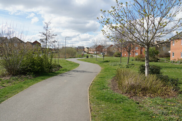
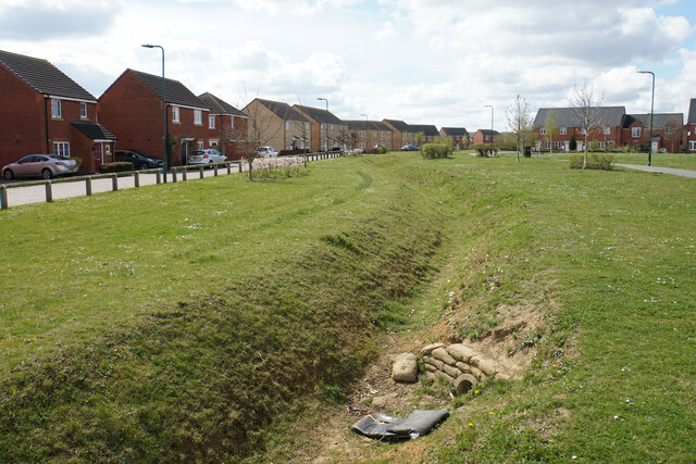
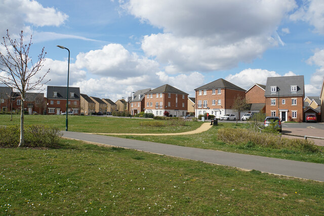
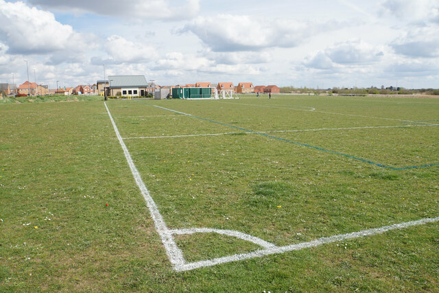
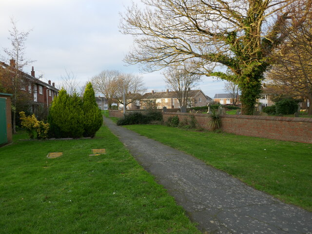
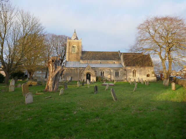
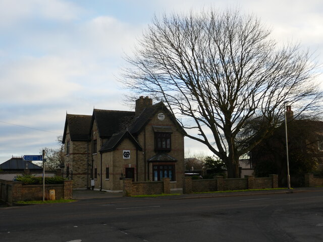
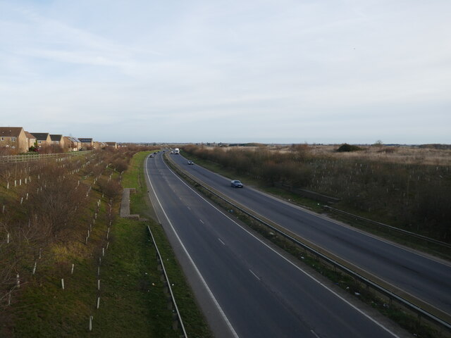
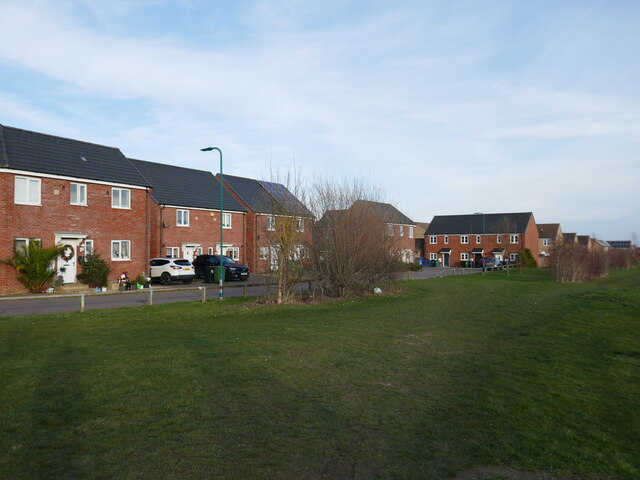
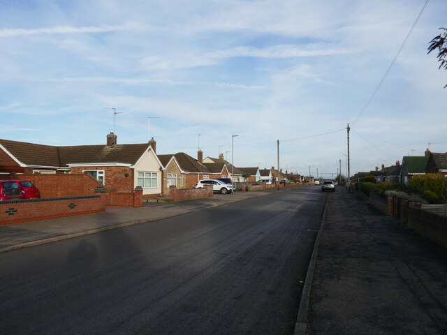
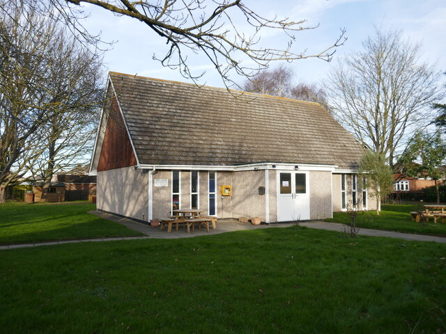
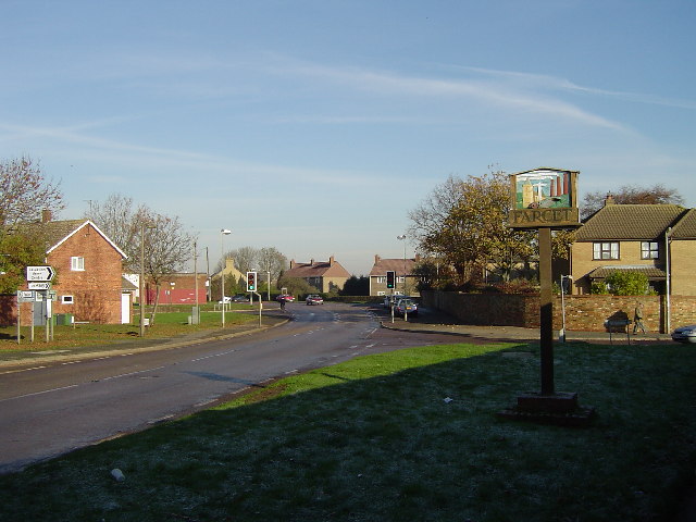
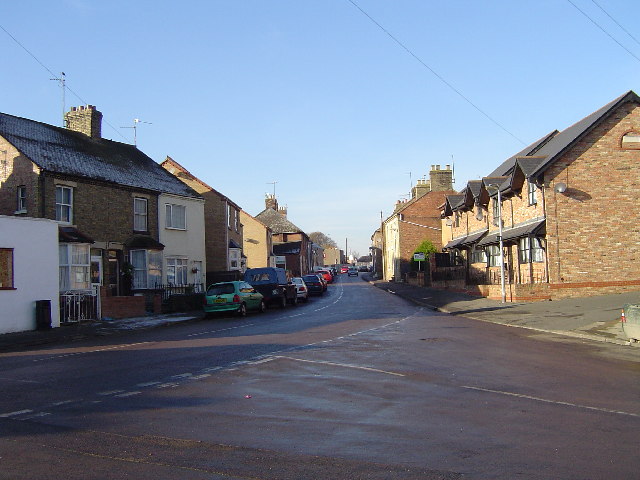
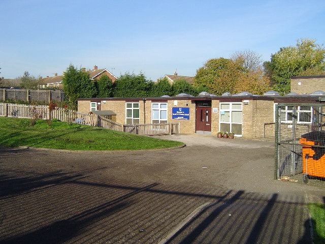
New Meadow Images

Images are sourced within 2km of 52.538163/-0.21244724 or Grid Reference TL2194. Thanks to Geograph Open Source API. All images are credited.

Path in Stanground South Part of a landscaped area in the southern expansion of Peterborough.
Path in Stanground South
Part of a landscaped area in the southern expansion of Peterborough.
Drainage channel in Stanground South A common feature of fenland is also required in housing areas.
Drainage channel in Stanground South
A common feature of fenland is also required in housing areas.
Apollo Avenue New housing development in Stanground South.
Apollo Avenue
New housing development in Stanground South.
Playing field in Stanground South Now the southern edge of the Peterborough conurbation.
Playing field in Stanground South
Now the southern edge of the Peterborough conurbation.
Blackberry House Day Nursery, Stanground
Church Walk, Farcet
Church Walk, Farcet
St Mary's church, Farcet Largely of the twelfth and thirteenth centuries with Victorian extensions on the north side <span class="nowrap"><a title="https://historicengland.org.uk/listing/the-list/list-entry/1215281?section=official-list-entry" rel="nofollow ugc noopener" href="https://historicengland.org.uk/listing/the-list/list-entry/1215281?section=official-list-entry">Link</a><img style="margin-left:2px;" alt="External link" title="External link - shift click to open in new window" src="https://s1.geograph.org.uk/img/external.png" width="10" height="10"/></span>
St Mary's church, Farcet
Largely of the twelfth and thirteenth centuries with Victorian extensions on the north side LinkExternal link
Heritage House, Stanground
17 Broadway, Farcet Bears a datestone 1888.
17 Broadway, Farcet
Bears a datestone 1888.
A605 near Stanground
Housing, Stanground South
Oakdale Avenue, Stanground Bungalurbia.
Oakdale Avenue, Stanground
Bungalurbia.
St Michael's church, Stanground
Farcet Standing opposite the church looking in a northerly direction. This is the main B1091 towards Stanground, Peterborough. The junction is the top of Main Street. Most of Farcet is in Huntingdonshire.
Farcet
Standing opposite the church looking in a northerly direction. This is the main B1091 towards Stanground, Peterborough. The junction is the top of Main Street. Most of Farcet is in Huntingdonshire.
Main Street, Farcet Standing at the western end of Middle Street, this is half way along Main Street looking in an approximately werterly direction towards the B1091.
Main Street, Farcet
Standing at the western end of Middle Street, this is half way along Main Street looking in an approximately werterly direction towards the B1091.
River Nene (Old Course), Farcet From the bridge near the Black Swan Public House looking in a southwesterly direction. The map shows the river to be the River Nene (Old Course).
River Nene (Old Course), Farcet
From the bridge near the Black Swan Public House looking in a southwesterly direction. The map shows the river to be the River Nene (Old Course).
Farcet C of E Primary School, Farcet On the eastern side of St Mary's Street. Takes children from 5 - 11 years old.
Farcet C of E Primary School, Farcet
On the eastern side of St Mary's Street. Takes children from 5 - 11 years old.
St Mary's Church, Farcet Situated on the B1091 near the western end of Main Street.
St Mary's Church, Farcet
Situated on the B1091 near the western end of Main Street.
Show me another place!

New Meadow is located at Grid Ref: TL2194 (Lat: 52.538163, Lng: -0.21244724)

Administrative County: Cambridgeshire

District: Huntingdonshire

Police Authority: Cambridgeshire

What 3 Words

///notifying.deflate.graver. Near Yaxley, Cambridgeshire

Nearby Locations

New Meadow

Related Wikis

Farcet

Farcet is a village and civil parish in Cambridgeshire, England. Farcet lies approximately 2 miles (3 km) south of Peterborough city centre, between Yaxley...

Stanground Academy

Stanground Academy is a co-educational academy school and specialist college for sport, in the city of Peterborough in the United Kingdom. As of 20 October...

Stanground Newt Ponds

Stanground Newt Ponds is a 0.8-hectare (2.0-acre) nature reserve in Peterborough in Cambridgeshire. It is managed by the Wildlife Trust for Bedfordshire...

Stanground

Stanground is a residential area of Peterborough, in the ceremonial county of Cambridgeshire, England. For electoral purposes, it comprises the Stanground...

Nearby Amenities

Located within 500m of 52.538163,-0.21244724
Power: pole
Lat/Long: 52.5400791/-0.2109425
Power: pole
Lat/Long: 52.539694/-0.2068656
Power: pole
Lat/Long: 52.5411165/-0.2137348
Power: pole
Lat/Long: 52.5398408/-0.2085043
Power: pole
Lat/Long: 52.5406076/-0.2124311
Power: pole
Lat/Long: 52.5416712/-0.2152715
Building: yes
Lat/Long: 52.5398688/-0.2068124
The data included in this document is from www.openstreetmap.org. The data is made available under ODbL.

Have you been to New Meadow?

Leave your review of New Meadow below (or comments, questions and feedback).