South Field

Downs, Moorland in Yorkshire

England

South Field

Farmland Copse This is a pretty little copse which breaks up the monotony of the flat Holderness Plain farmland.
Farmland Copse Credit: Andy Beecroft

The requested URL returned error: 429 Too Many Requests

If you have any feedback on the listing, please let us know in the comments section below.
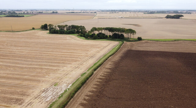
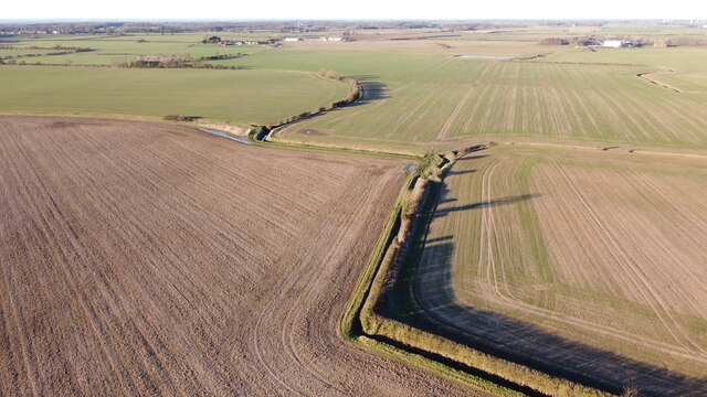
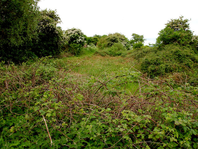
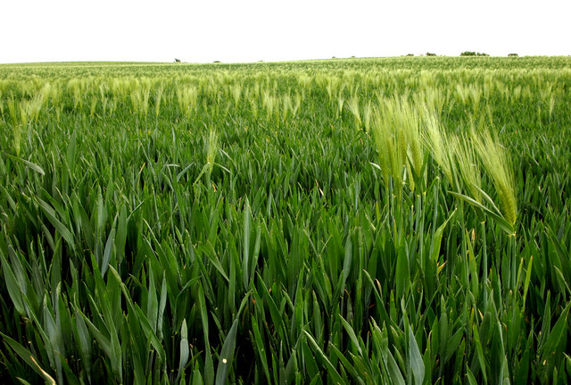
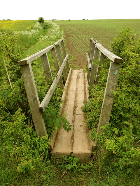
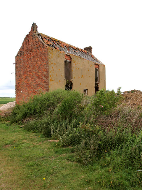
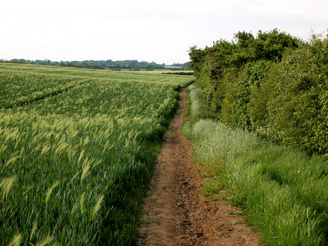
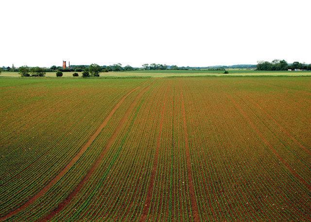
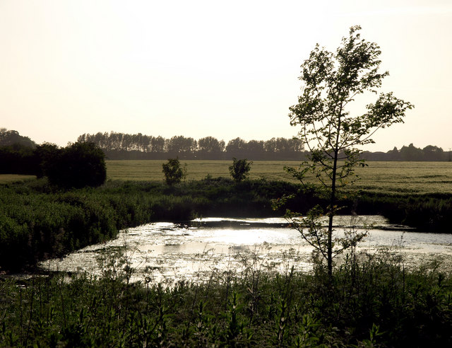
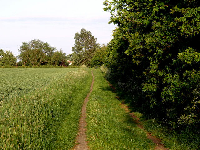
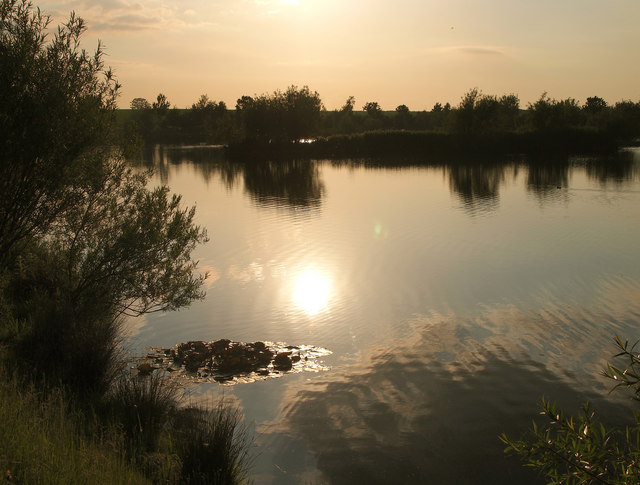
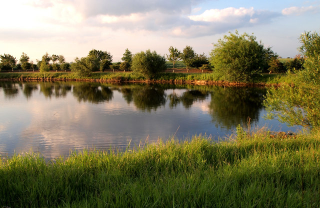
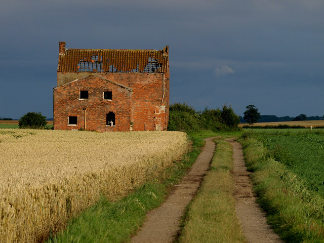
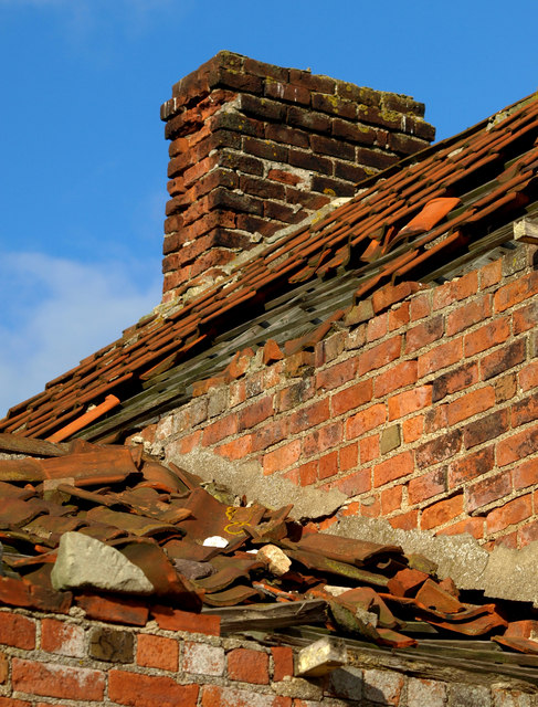
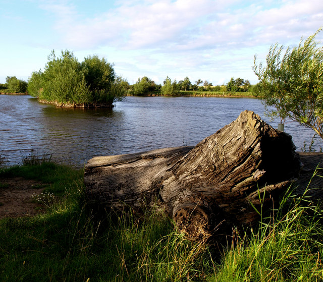
South Field Images

Images are sourced within 2km of 53.777241/-0.16022818 or Grid Reference TA2132. Thanks to Geograph Open Source API. All images are credited.

Farmland Copse This is a pretty little copse which breaks up the monotony of the flat Holderness Plain farmland.
Farmland Copse
This is a pretty little copse which breaks up the monotony of the flat Holderness Plain farmland.
Zig Zags from the Air Farmland, in various locations in the Holderness area of East Yorkshire, has been suffering from severe flooding in places in the last couple of months.  Fortunately, this land seems to be fairly unscathed.  It's about 15 metres above sea level and even at this modest height seems to have escaped the worst consequences of the rain.
Zig Zags from the Air
Farmland, in various locations in the Holderness area of East Yorkshire, has been suffering from severe flooding in places in the last couple of months. Fortunately, this land seems to be fairly unscathed. It's about 15 metres above sea level and even at this modest height seems to have escaped the worst consequences of the rain.
Dried up Pond Marked up as a pond on the map, there's hardly water in it now.
Dried up Pond
Marked up as a pond on the map, there's hardly water in it now.
Wheat Field The crop is mainly wheat, but there's the odd stalk of last year's barley showing through.
Wheat Field
The crop is mainly wheat, but there's the odd stalk of last year's barley showing through.
Footpath Bridge
Footpath Bridge
Imminent Collapse The old farm building near New York will soon reach a critical stage - the lower window lintels will collapse in the next year or so and probably most of the brickwork above that.... and finally the roof.
Imminent Collapse
The old farm building near New York will soon reach a critical stage - the lower window lintels will collapse in the next year or so and probably most of the brickwork above that.... and finally the roof.
Footpath to Lelley The footpath is quite 'hilly' for this part of the very flat Holderness plain!  The field on the left is a wheatfield, but appears to be contaminated with last year's barley crop.
Footpath to Lelley
The footpath is quite 'hilly' for this part of the very flat Holderness plain! The field on the left is a wheatfield, but appears to be contaminated with last year's barley crop.
New Crop I've no idea what the new crop in the field is as it was too far away to see.  Peas perhaps?  The windmill in the background is near Elstronwick nearly a mile away.
New Crop
I've no idea what the new crop in the field is as it was too far away to see. Peas perhaps? The windmill in the background is near Elstronwick nearly a mile away.
Small Pond east of Sproatley The pond is situated near to the Sproatley to Lelley path.
Small Pond east of Sproatley
The pond is situated near to the Sproatley to Lelley path.
Lelley Balk
Lelley Balk
New Lake Not on any map yet, this is a lovely spot to be on an early June sunny evening Note: I contacted the Ordnance Survey in July 2015 about the map error.  They have noted it and the lake will be on the next revisions of both the 25,000 and 50,000 maps!
New Lake
Not on any map yet, this is a lovely spot to be on an early June sunny evening Note: I contacted the Ordnance Survey in July 2015 about the map error. They have noted it and the lake will be on the next revisions of both the 25,000 and 50,000 maps!
Sunset in a Drafty Loft The old farmhouse is a little damp inside at times, and will no longer be standing soon at its present rate of decline.
Sunset in a Drafty Loft
The old farmhouse is a little damp inside at times, and will no longer be standing soon at its present rate of decline.
New Lake Not on any map yet, this new lake looks lovely in the early summer evening sun.  Note: I contacted the Ordnance Survey in July 2015 about the map error.  They have noted it and the lake will be on the next revisions of both the 25,000 and 50,000 maps!
New Lake
Not on any map yet, this new lake looks lovely in the early summer evening sun. Note: I contacted the Ordnance Survey in July 2015 about the map error. They have noted it and the lake will be on the next revisions of both the 25,000 and 50,000 maps!
Photogenic Farmhouse I've visited this remote derelict farmhouse several times and it always amazes me how different it looks under varying lighting conditions.  The intense blue, red, green and yellow struck me with this one!
Photogenic Farmhouse
I've visited this remote derelict farmhouse several times and it always amazes me how different it looks under varying lighting conditions. The intense blue, red, green and yellow struck me with this one!
Leaking Roof The remaining roof tiles on this derelict farmhouse serve little purpose now!
Leaking Roof
The remaining roof tiles on this derelict farmhouse serve little purpose now!
Crumbling Brickwork
Crumbling Brickwork
Nearly all Wheat This year's wheat crop seems to be 'contaminated' with residual barley from last year's crop.  Taken against the sun, the barley ears are identified easily against the majority wheat crop.
Nearly all Wheat
This year's wheat crop seems to be 'contaminated' with residual barley from last year's crop. Taken against the sun, the barley ears are identified easily against the majority wheat crop.
A New Lake This recently dug lake doesn't appear on the 25,000 map yet.   Note: I contacted the Ordnance Survey in July 2015 about the map error.  They have noted it and the lake will be on the next revisions of both the 25,000 and 50,000 maps!
A New Lake
This recently dug lake doesn't appear on the 25,000 map yet. Note: I contacted the Ordnance Survey in July 2015 about the map error. They have noted it and the lake will be on the next revisions of both the 25,000 and 50,000 maps!
Show me another place!

South Field is located at Grid Ref: TA2132 (Lat: 53.777241, Lng: -0.16022818)

Division: East Riding

Unitary Authority: East Riding of Yorkshire

Police Authority: Humberside

What 3 Words

///drawn.part.enchanted. Near Humbleton, East Yorkshire

Nearby Locations

South Field

Related Wikis

Lelley

Lelley is a small village in the civil parish of Elstronwick, in the East Riding of Yorkshire, England, in an area known as Holderness. It is situated...

Elstronwick

Elstronwick is a village and civil parish in the East Riding of Yorkshire, England, in an area known as Holderness. It is situated approximately 3.5 miles...

Holderness (borough)

Holderness was a local government district and borough in northern England, named after the Holderness peninsula. It was formed on 1 April 1974 along with...

Humbleton

Humbleton is a village and civil parish in the East Riding of Yorkshire, England, in an area known as Holderness. It is situated approximately 9 miles...

Nearby Amenities

Located within 500m of 53.777241,-0.16022818
Lelley
Is In: East Riding of Yorkshire, England, UK
Is In County: East Riding of Yorkshire
Place: village
Wikidata: Q6520925
Lat/Long: 53.7761166/-0.1663445
Power: pole
Lat/Long: 53.7792153/-0.1626599
Power: pole
Lat/Long: 53.7800014/-0.1617855
Power: pole
Lat/Long: 53.7784355/-0.1635021
Power: pole
Lat/Long: 53.777659/-0.1643765
Power: pole
Lat/Long: 53.7768602/-0.1652778
Power: pole
Lat/Long: 53.7815387/-0.1602781
Power: pole
Lat/Long: 53.7808128/-0.1608628
Horning Hill
Place: locality
Lat/Long: 53.7792783/-0.1552256
South Field
Place: locality
Lat/Long: 53.7752734/-0.1564058
Telephone
Booth: K6
Colour: white
Covered: booth
Operator: KCOM
Phone: +44 1482 897592
Lat/Long: 53.7752536/-0.1666684
The data included in this document is from www.openstreetmap.org. The data is made available under ODbL.

Have you been to South Field?

Leave your review of South Field below (or comments, questions and feedback).