Codicote Heath

Downs, Moorland in Hertfordshire North Hertfordshire

England

Codicote Heath

View from Bride Hall Lane, Ayot St Lawrence The view is towards Brimstone Wood.
View from Bride Hall Lane, Ayot St Lawrence Credit: Humphrey Bolton

Codicote Heath is a picturesque area located in Hertfordshire, England. Covering a vast expanse of land, this heathland is characterized by its rolling downs and moorland. It is situated on the outskirts of Codicote village, about 10 miles north of Welwyn Garden City.

The heathland is predominantly comprised of open grasslands, interspersed with patches of heather and gorse. The landscape boasts a variety of flora and fauna, making it a haven for nature enthusiasts. Visitors can expect to encounter a range of bird species, including the rare nightjar and woodlark, as well as a diverse array of insects, reptiles, and small mammals.

Codicote Heath offers several walking trails, allowing visitors to explore the area's natural beauty. These trails wind through the undulating terrain, taking walkers past panoramic views of the surrounding countryside. The heathland is also home to numerous ponds, which provide a habitat for a variety of aquatic plants and insects.

Historically, Codicote Heath has been used for grazing livestock, and remnants of old field boundaries can still be seen. The heathland is managed by local conservation organizations to preserve its ecological significance and promote biodiversity. Efforts are made to control invasive species and manage the vegetation to maintain the heathland's unique character.

Overall, Codicote Heath offers a tranquil escape from the hustle and bustle of modern life. Its natural beauty, diverse wildlife, and rich history make it a must-visit destination for nature lovers and outdoor enthusiasts.

If you have any feedback on the listing, please let us know in the comments section below.

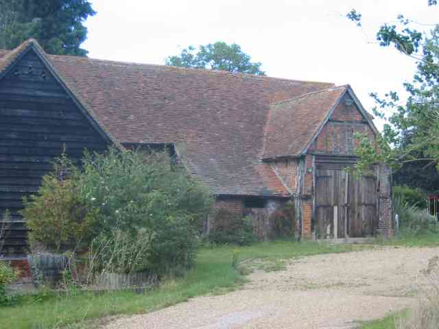
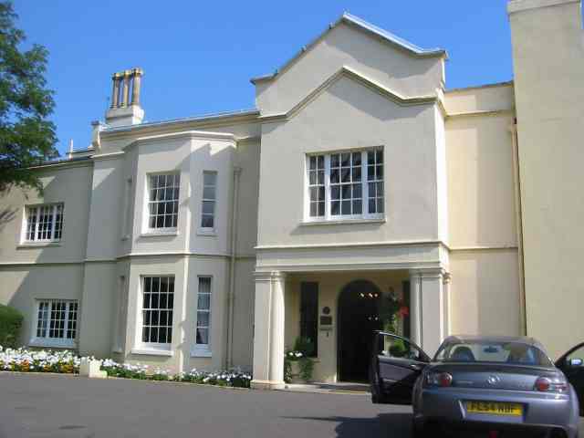
Codicote Heath Images

Images are sourced within 2km of 51.852164/-0.24929861 or Grid Reference TL2018. Thanks to Geograph Open Source API. All images are credited.

View from Bride Hall Lane, Ayot St Lawrence The view is towards Brimstone Wood.
View from Bride Hall Lane, Ayot St Lawrence
The view is towards Brimstone Wood.
Ayot Lodge, Ayot St Lawrence This mid-19C house is listed, Grade II, and was the lodge for Ayot House. It is at the entrance to Bride Hall Lane, which is a public bridleway to Tanyard Lane. The first part of the lane is the driveway to Ayot House and The Manor House.
Ayot Lodge, Ayot St Lawrence
This mid-19C house is listed, Grade II, and was the lodge for Ayot House. It is at the entrance to Bride Hall Lane, which is a public bridleway to Tanyard Lane. The first part of the lane is the driveway to Ayot House and The Manor House.
View of Ayot House from the church, Ayot St Lawrence The church was designed as an eye-catcher from the house.
View of Ayot House from the church, Ayot St Lawrence
The church was designed as an eye-catcher from the house.
Three Houses Farm Early design for the great barns
Three Houses Farm
Early design for the great barns
Farmhouse Three Houses Farm Has a well kept air about it
Farmhouse Three Houses Farm
Has a well kept air about it
The Node  Conference Centre  off B656 This estate is quite large and has many points of interest but is private.
The Node Conference Centre off B656
This estate is quite large and has many points of interest but is private.
Codicote Village The green seems a bit too small to qualify
Codicote Village
The green seems a bit too small to qualify
Codicote Village Ye Olde building is now a Chinese restaurant,
Codicote Village
Ye Olde building is now a Chinese restaurant,
Clump of trees in Three Houses Lane This was a spot for lunch and soaking in the scenery
Clump of trees in Three Houses Lane
This was a spot for lunch and soaking in the scenery
Arable land already ploughed for the next crop Taken from Lord Mead Lane looking north east
Arable land already ploughed for the next crop
Taken from Lord Mead Lane looking north east
Landscape looking due north from  Lord Mead Lane The relatively recent plantation  of trees will be a landmark in twenty years' time, subject to global warming.
Landscape looking due north from Lord Mead Lane
The relatively recent plantation of trees will be a landmark in twenty years' time, subject to global warming.
Farm Buildings at Codicote Bottom This is the farm related to those two landscape views
Farm Buildings at Codicote Bottom
This is the farm related to those two landscape views
Gates leading to something in Codicote Bottom The message is, we wish to keep you out for as long as possible.
Gates leading to something in Codicote Bottom
The message is, we wish to keep you out for as long as possible.
Cottage opposite the "gates" in Codicote Bottom In this instance even the fencing has gaps
Cottage opposite the "gates" in Codicote Bottom
In this instance even the fencing has gaps
More Gates in Codicote Bottom At least these gates let the outsider see something
beyond the boundary  but again what ???
More Gates in Codicote Bottom
At least these gates let the outsider see something beyond the boundary but again what ???
Variety of subjects, Road sign  Water Tower  Codicote I arrived at this junction and felt that the scene was too good to pass up
Variety of subjects, Road sign Water Tower Codicote
I arrived at this junction and felt that the scene was too good to pass up
Sign for Node Court at Drivers End I thought this was another gate entrance till I moved forwards a little
Sign for Node Court at Drivers End
I thought this was another gate entrance till I moved forwards a little
Vanstone Park Garden Centre near Drivers End The sections of the centre are spread out in the estate. This section is for outdoor plants
Vanstone Park Garden Centre near Drivers End
The sections of the centre are spread out in the estate. This section is for outdoor plants
Show me another place!

Codicote Heath is located at Grid Ref: TL2018 (Lat: 51.852164, Lng: -0.24929861)

Administrative County: Hertfordshire

District: North Hertfordshire

Police Authority: Hertfordshire

What 3 Words

///gates.exact.stick. Near Codicote, Hertfordshire

Related Wikis

Codicote

Codicote ( KO-dih-kət) is a large village, and civil parish about seven miles (11 km) south of Hitchin in Hertfordshire, England. It has timber-framed...

Codicote F.C.

Codicote Football Club is a football club based in Codicote, near Hitchin, Hertfordshire, England. They are currently members of the Spartan South Midlands...

Ayot Park

Ayot Park is a grade II listed park and garden at Ayot St Lawrence in Hertfordshire, England. It contains the grade II* listed Ayot House along with an...

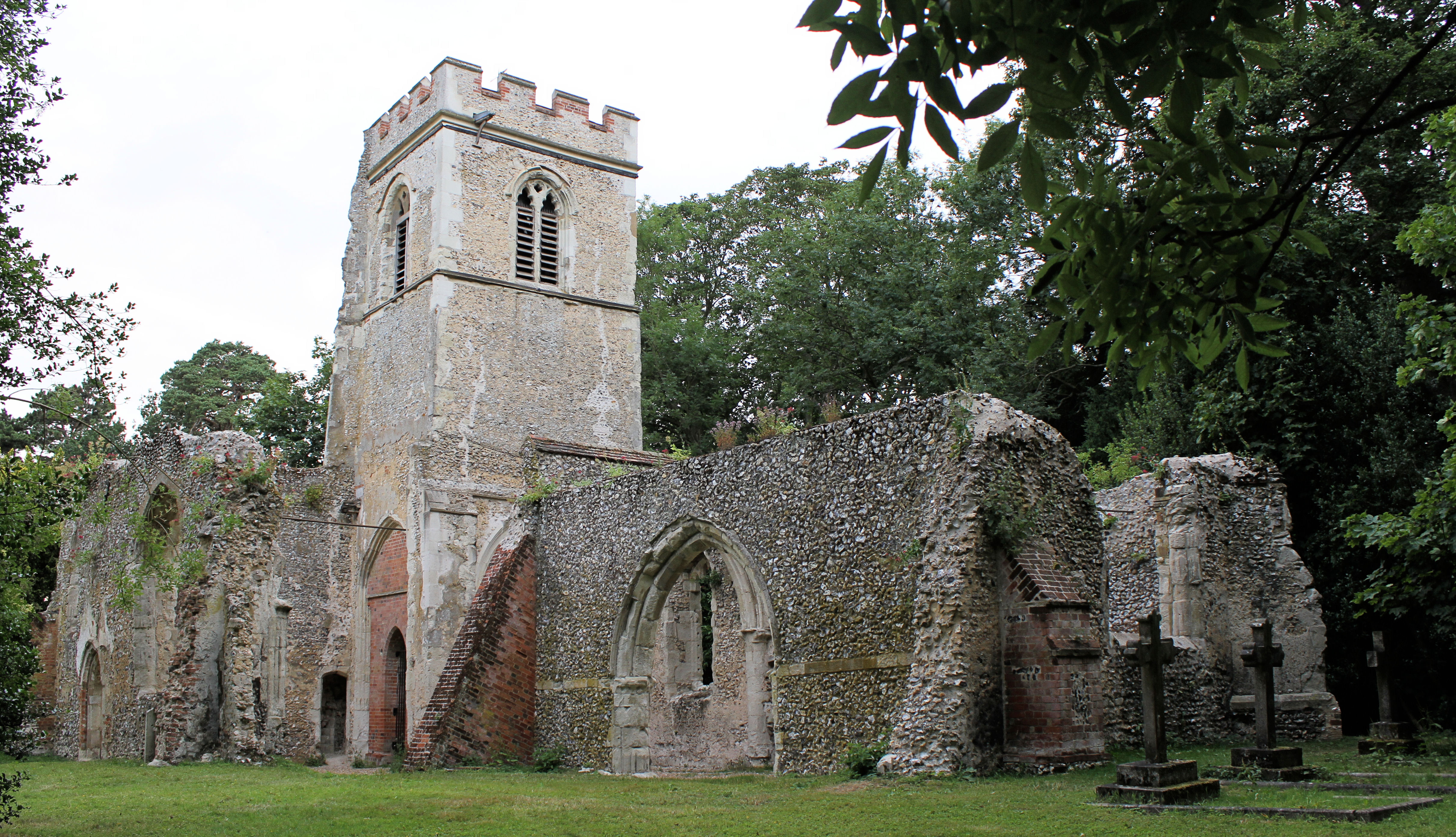
Old St Lawrence Church, Ayot St Lawrence

Old St Lawrence Church is a ruined building in Ayot St Lawrence, Hertfordshire, England. It is protected as a Grade II* listed building, and dates back...

Related Videos

Walking the Hertfordshire Way Backwards - 13

The Hertfordshire Way offers many picturesque walks through the English countryside. A relatively easy section of the trail runs ...

Liam Gallagher Knebworth Saturday 4 June 2022 Stand By Me Oasis

oasis #liamgallagher #noelgallagher #britpop #s #music #oasismusic #oasisfans #madferit #rocknroll #manchester #rock #blur ...

Knebworth House - Easter Trail

join us on our day out to Knebworth House on Easter Sunday.

Knebworth house

Knebworth house #dannysloggettvision.

Nearby Amenities

Located within 500m of 51.852164,-0.24929861
Created By: osmeditor2
Lat/Long: 51.849426/-0.2437672
Barrier: kissing_gate
Bicycle: no
Foot: yes
Lat/Long: 51.853531/-0.2466812
Barrier: kissing_gate
Lat/Long: 51.8528043/-0.2475625
Barrier: kissing_gate
Lat/Long: 51.8516937/-0.2497831
Barrier: kissing_gate
Lat/Long: 51.850688/-0.2513272
Barrier: kissing_gate
Lat/Long: 51.8529434/-0.2482014
Barrier: kissing_gate
Lat/Long: 51.8502623/-0.2465186
Barrier: kissing_gate
Lat/Long: 51.8500328/-0.2500072
Barrier: kissing_gate
Lat/Long: 51.8502041/-0.2465495
Bus Stop
Codicote Mill
Naptan AtcoCode: 210021106997
Naptan Bearing: NE
Naptan BusStopType: CUS
Naptan CommonName: Codicote Mill
Naptan Crossing: Codicote Mill
Naptan Indicator: adj
Naptan Landmark: Codicote Mill
Naptan NaptanCode: hrtgjgdm
Naptan PlusbusZoneRef: STEVNGE
Naptan ShortCommonName: NA
Naptan Street: Heath Hill
Naptan Verified: no
Source: naptan_import
Lat/Long: 51.8479328/-0.2472535
Codicote Heath
Place: locality
Source: OS_OpenData_StreetView
Lat/Long: 51.8517912/-0.2488878
Codicote Bottom
Place: locality
Source: OS_OpenData_StreetView
Lat/Long: 51.848385/-0.2470961
Information: board
Tourism: information
Lat/Long: 51.8478288/-0.2475478
Location Transition: yes
Power: pole
Source: Bing
Lat/Long: 51.8544656/-0.2467283
Power: pole
Source: Bing
Lat/Long: 51.8553288/-0.2471548
Power: pole
Source: Bing
Lat/Long: 51.8562416/-0.2476806
Power: pole
Lat/Long: 51.8554952/-0.2529739
Power: pole
Lat/Long: 51.8549709/-0.253273
Power: pole
Lat/Long: 51.854242/-0.2537128
Power: pole
Lat/Long: 51.853344/-0.2542332
Power: pole
Lat/Long: 51.8524626/-0.2547804
Power: pole
Lat/Long: 51.8515721/-0.2552792
Power: pole
Lat/Long: 51.8508713/-0.2557084
Power: pole
Lat/Long: 51.8487381/-0.2533722
Power: pole
Lat/Long: 51.8483371/-0.2521625
Power: pole
Lat/Long: 51.8479328/-0.2509394
The data included in this document is from www.openstreetmap.org. The data is made available under ODbL.

Have you been to Codicote Heath?

Leave your review of Codicote Heath below (or comments, questions and feedback).