Mary Land

Downs, Moorland in Lincolnshire Boston

England

Mary Land

Clay Dike Bridge This bridge carries a footpath over Clay Dike and joins one fen road to another.
Clay Dike Bridge Credit: Michael Patterson

Mary Land is a small village located in the county of Lincolnshire, England. Situated amidst the beautiful Downs and Moorland landscapes, it offers a rural and picturesque setting for its residents and visitors alike. The village is known for its tranquility and charm, making it an ideal retreat for those seeking a peaceful getaway.

Surrounded by rolling hills and lush green fields, Mary Land boasts stunning natural beauty. The Downs provide breathtaking views of the surrounding countryside, while the Moorland offers a diverse range of flora and fauna, making it a haven for nature enthusiasts.

The village itself is quaint and traditional, with a close-knit community that takes pride in its heritage. Narrow lanes lined with stone cottages and well-manicured gardens create a timeless atmosphere. The local pub, The Rose and Crown, serves as a hub for socializing and enjoying traditional English fare.

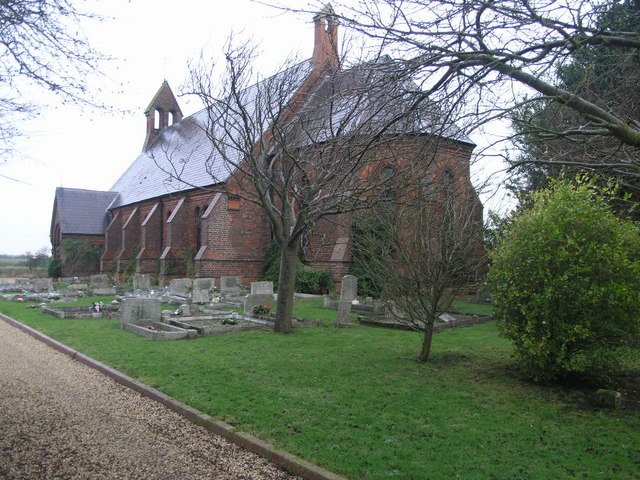
Mary Land is also rich in history, with several historical landmarks scattered throughout the area. The village church, St. Mary's, is a notable example of medieval architecture and is worth a visit for its intricate stained glass windows and ancient stone carvings.

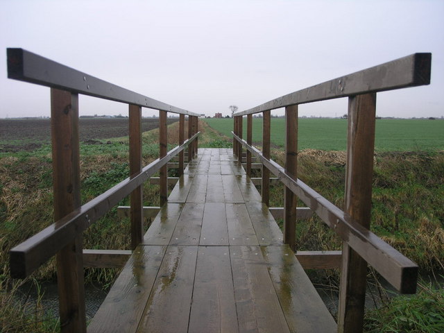
Outdoor activities are abundant in Mary Land, with ample opportunities for hiking, cycling, and horseback riding. The village is well-connected to a network of walking trails that showcase the area's natural beauty.

In conclusion, Mary Land, Lincolnshire, with its charming rural setting, stunning landscapes, and rich history, offers a delightful escape for those seeking a tranquil and idyllic countryside experience.

If you have any feedback on the listing, please let us know in the comments section below.
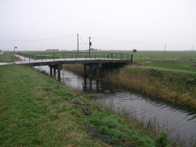
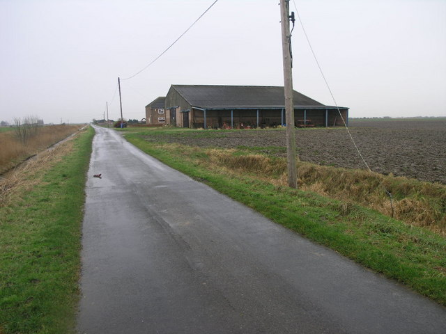
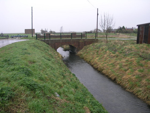
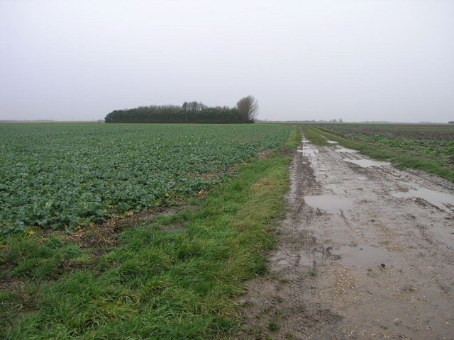
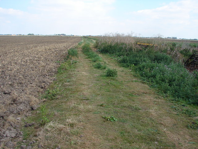
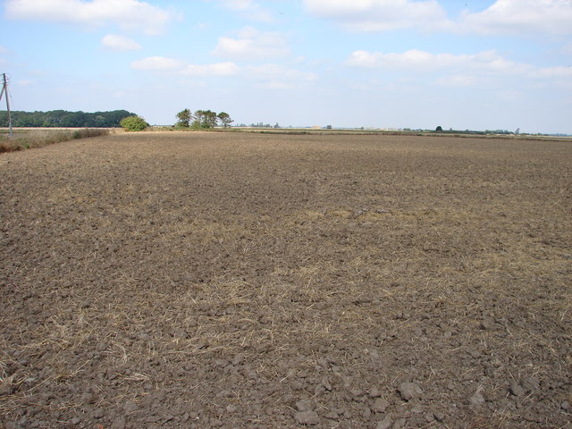
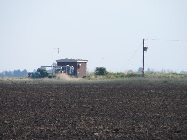
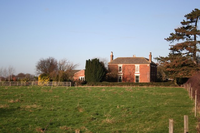
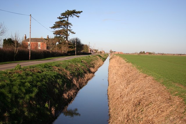
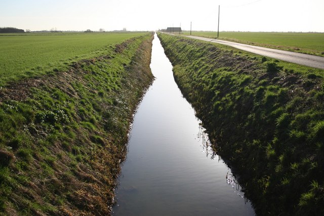
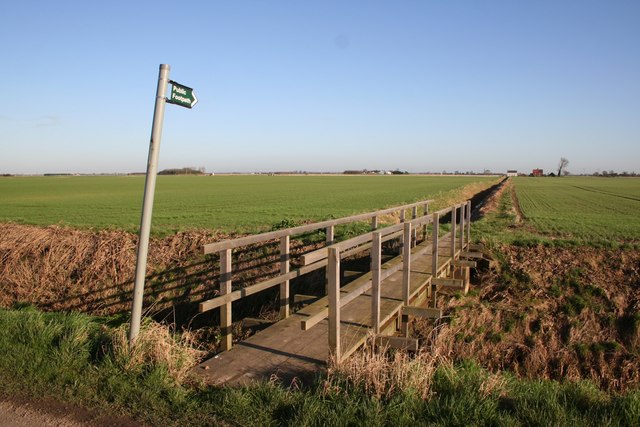
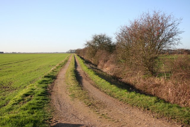
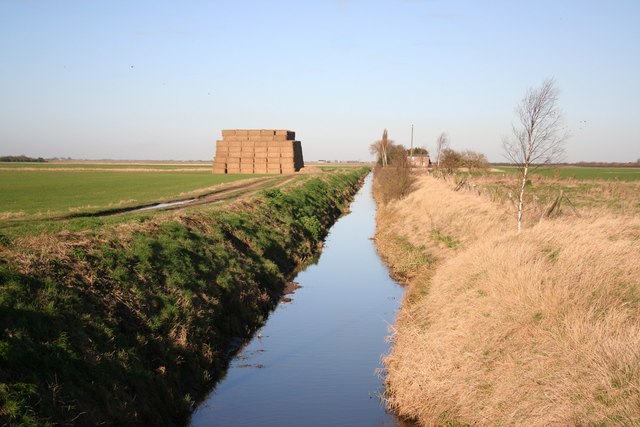
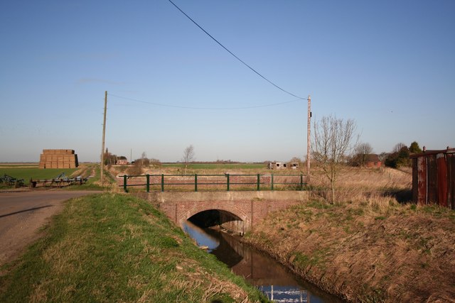
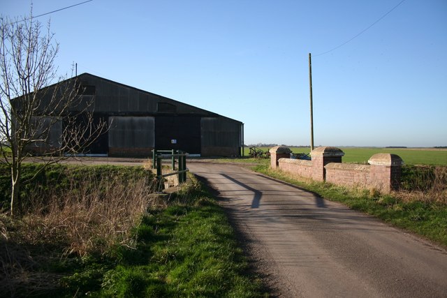
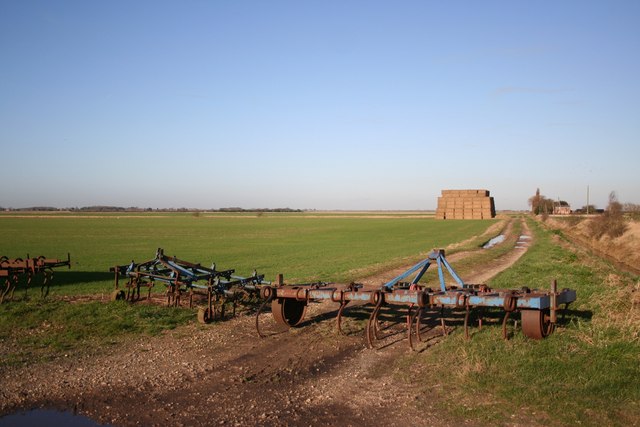
Mary Land Images

Images are sourced within 2km of 53.015699/-0.2031932 or Grid Reference TF2047. Thanks to Geograph Open Source API. All images are credited.

Clay Dike Bridge This bridge carries a footpath over Clay Dike and joins one fen road to another.
Clay Dike Bridge
This bridge carries a footpath over Clay Dike and joins one fen road to another.
Fenland Church This church, dedicated to St John, is one of only a handful of buildings in this square. It became redundant in February 1995 and was sold for residential use in April 1998.
Fenland Church
This church, dedicated to St John, is one of only a handful of buildings in this square. It became redundant in February 1995 and was sold for residential use in April 1998.
Fenland Farm This farm stands alone in the flat fenland landscape.
Fenland Farm
This farm stands alone in the flat fenland landscape.
Farm Through a Bridge The farm on the horizon is in the square both north and east of this one.  The bridge carries a footpath over Clay Dike.
Farm Through a Bridge
The farm on the horizon is in the square both north and east of this one. The bridge carries a footpath over Clay Dike.
Bridge and Bend At this point the long straight fen road turns through 90 degrees to cross Clay Dike.
Bridge and Bend
At this point the long straight fen road turns through 90 degrees to cross Clay Dike.
Track and Trees This group of trees in the fenland fields is a very rare sight.
Track and Trees
This group of trees in the fenland fields is a very rare sight.
Access No Longer Required This is the route of the old track to a pumping station which was replaced in the late 1950's.  The old pumping station has long gone.
Access No Longer Required
This is the route of the old track to a pumping station which was replaced in the late 1950's. The old pumping station has long gone.
Look North
Look North
Pumping Station on Skerth Drain Taken from the road near Mill Green Farm.
Pumping Station on Skerth Drain
Taken from the road near Mill Green Farm.
Chestnut House farm Fenland Farm at Mary Land in Amber Hill parish
Chestnut House farm
Fenland Farm at Mary Land in Amber Hill parish
Mary Land Maryland Drain and Chestnut House Farm in Amber Hill parish
Mary Land
Maryland Drain and Chestnut House Farm in Amber Hill parish
Maryland Drain Archetypal fenland view along a dead straight Maryland Drain surrounded by flat fertile farmland
Maryland Drain
Archetypal fenland view along a dead straight Maryland Drain surrounded by flat fertile farmland
Footpath to Sutterton Drove Footbridge over Maryland Drain at Amber Hill
Footpath to Sutterton Drove
Footbridge over Maryland Drain at Amber Hill
Mary Land track Farm track near Chestnut House Farm
Mary Land track
Farm track near Chestnut House Farm
Maryland Drain Looking north from the Bridge
Maryland Drain
Looking north from the Bridge
Maryland Bridge Bridge over Maryland Drain near Maryland House
Maryland Bridge
Bridge over Maryland Drain near Maryland House
Maryland Bridge Bridge over the drain at the corner
Maryland Bridge
Bridge over the drain at the corner
Maryland Fen Track and acres of flat fenland at Maryland
Maryland Fen
Track and acres of flat fenland at Maryland
Show me another place!

Mary Land is located at Grid Ref: TF2047 (Lat: 53.015699, Lng: -0.2031932)

Administrative County: Lincolnshire

District: Boston

Police Authority: Lincolnshire

What 3 Words

///juicy.instincts.paler. Near Heckington, Lincolnshire

Nearby Locations

Mary Land

Related Wikis

Amber Hill

Amber Hill is a village and civil parish in Lincolnshire, England, approximately 6 miles (10 km) west-north-west from Boston. The 2001 Census measured...

Holland Fen with Brothertoft

Holland Fen with Brothertoft is a civil parish in Lincolnshire, England, consisting, as the name indicates, of Holland Fen and Brothertoft, but also includes...

South Kyme

South Kyme is a small village and civil parish in the North Kesteven district of Lincolnshire, England. The population of the civil parish at the 2011...

Holland Fen

Holland Fen is a settlement in the Borough of Boston, Lincolnshire, England. It is approximately 5 miles (8.0 km) north-west of the market town of Boston...

Nearby Amenities

Located within 500m of 53.015699,-0.2031932
Mary Land
Place: locality
Source: Bing
Lat/Long: 53.0195857/-0.204739
The data included in this document is from www.openstreetmap.org. The data is made available under ODbL.

Have you been to Mary Land?

Leave your review of Mary Land below (or comments, questions and feedback).