Heath Plantation

Wood, Forest in Hertfordshire North Hertfordshire

England

Heath Plantation

View from Bride Hall Lane, Ayot St Lawrence The view is towards Brimstone Wood.
View from Bride Hall Lane, Ayot St Lawrence Credit: Humphrey Bolton

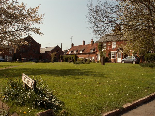
Heath Plantation is a picturesque woodland located in Hertfordshire, England. Covering a vast area, it is a popular destination for nature enthusiasts and outdoor enthusiasts alike. The plantation is renowned for its rich biodiversity and stunning natural beauty.

The woodland is predominantly made up of deciduous trees, including oak, beech, and birch, which create a dense canopy overhead. The forest floor is blanketed with a variety of wildflowers, ferns, and mosses, creating a vibrant and colorful landscape throughout the year. The plantation is also home to a diverse range of wildlife, including deer, foxes, and a wide array of bird species.

Visitors to Heath Plantation can enjoy a range of recreational activities. The woodland offers numerous walking trails, allowing visitors to explore the beauty of the forest at their leisure. It is also a popular spot for birdwatching, with several species of rare birds being spotted within the plantation.

The management of Heath Plantation is focused on preserving its natural heritage and ensuring the sustainability of the woodland. The area is protected as a nature reserve, and efforts are made to maintain the ecological balance of the habitat. Local conservation groups are actively involved in the plantation's management, conducting regular surveys and implementing conservation initiatives.

Heath Plantation is not only a haven for wildlife but also serves as a tranquil retreat for visitors seeking peace and solitude in nature. Its scenic beauty and ecological significance make it a cherished asset of Hertfordshire, attracting visitors from far and wide.

If you have any feedback on the listing, please let us know in the comments section below.

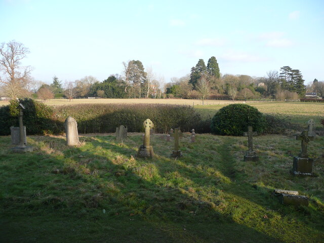
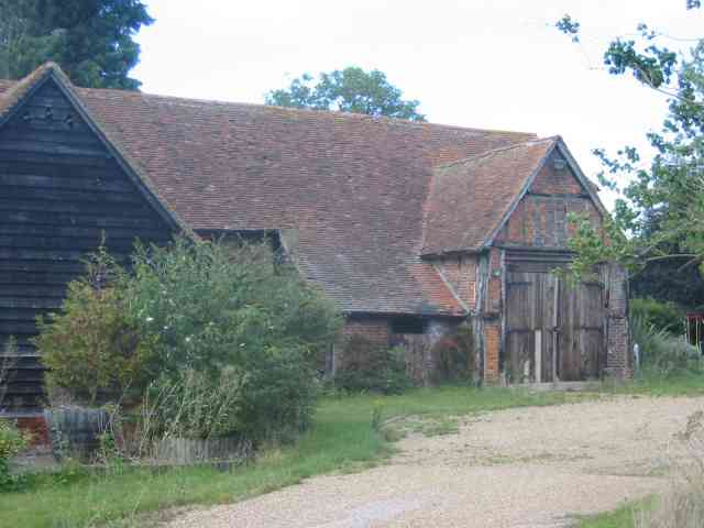
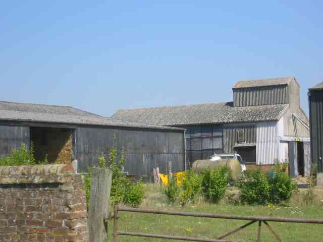
Heath Plantation Images

Images are sourced within 2km of 51.848956/-0.2487988 or Grid Reference TL2018. Thanks to Geograph Open Source API. All images are credited.

View from Bride Hall Lane, Ayot St Lawrence The view is towards Brimstone Wood.
View from Bride Hall Lane, Ayot St Lawrence
The view is towards Brimstone Wood.
Ayot Lodge, Ayot St Lawrence This mid-19C house is listed, Grade II, and was the lodge for Ayot House. It is at the entrance to Bride Hall Lane, which is a public bridleway to Tanyard Lane. The first part of the lane is the driveway to Ayot House and The Manor House.
Ayot Lodge, Ayot St Lawrence
This mid-19C house is listed, Grade II, and was the lodge for Ayot House. It is at the entrance to Bride Hall Lane, which is a public bridleway to Tanyard Lane. The first part of the lane is the driveway to Ayot House and The Manor House.
View of Ayot House from the church, Ayot St Lawrence The church was designed as an eye-catcher from the house.
View of Ayot House from the church, Ayot St Lawrence
The church was designed as an eye-catcher from the house.
Churchyard and view, Ayot St Lawrence
Three Houses Farm Early design for the great barns
Three Houses Farm
Early design for the great barns
Codicote Village The green seems a bit too small to qualify
Codicote Village
The green seems a bit too small to qualify
Codicote Village Ye Olde building is now a Chinese restaurant,
Codicote Village
Ye Olde building is now a Chinese restaurant,
Clump of trees in Three Houses Lane This was a spot for lunch and soaking in the scenery
Clump of trees in Three Houses Lane
This was a spot for lunch and soaking in the scenery
More farm buildings at Hill Farm Interesting to see straw bales packed into a building
More farm buildings at Hill Farm
Interesting to see straw bales packed into a building
Arable land already ploughed for the next crop Taken from Lord Mead Lane looking north east
Arable land already ploughed for the next crop
Taken from Lord Mead Lane looking north east
Landscape looking due north from  Lord Mead Lane The relatively recent plantation  of trees will be a landmark in twenty years' time, subject to global warming.
Landscape looking due north from Lord Mead Lane
The relatively recent plantation of trees will be a landmark in twenty years' time, subject to global warming.
Farm Buildings at Codicote Bottom This is the farm related to those two landscape views
Farm Buildings at Codicote Bottom
This is the farm related to those two landscape views
Gates leading to something in Codicote Bottom The message is, we wish to keep you out for as long as possible.
Gates leading to something in Codicote Bottom
The message is, we wish to keep you out for as long as possible.
Cottage opposite the "gates" in Codicote Bottom In this instance even the fencing has gaps
Cottage opposite the "gates" in Codicote Bottom
In this instance even the fencing has gaps
More Gates in Codicote Bottom At least these gates let the outsider see something
beyond the boundary  but again what ???
More Gates in Codicote Bottom
At least these gates let the outsider see something beyond the boundary but again what ???
Variety of subjects, Road sign  Water Tower  Codicote I arrived at this junction and felt that the scene was too good to pass up
Variety of subjects, Road sign Water Tower Codicote
I arrived at this junction and felt that the scene was too good to pass up
Vanstone Park Garden Centre near Drivers End The sections of the centre are spread out in the estate. This section is for outdoor plants
Vanstone Park Garden Centre near Drivers End
The sections of the centre are spread out in the estate. This section is for outdoor plants
Big House at Vanstone Park I assume this is the "stately home" allied to the park. Or is it linked with the Node
Big House at Vanstone Park
I assume this is the "stately home" allied to the park. Or is it linked with the Node
Show me another place!

Heath Plantation is located at Grid Ref: TL2018 (Lat: 51.848956, Lng: -0.2487988)

Administrative County: Hertfordshire

District: North Hertfordshire

Police Authority: Hertfordshire

What 3 Words

///arrive.works.cope. Near Codicote, Hertfordshire

Related Wikis

Codicote

Codicote ( KO-dih-kət) is a large village, and civil parish about seven miles (11 km) south of Hitchin in Hertfordshire, England. It has timber-framed...

Codicote F.C.

Codicote Football Club is a football club based in Codicote, near Hitchin, Hertfordshire, England. They are currently members of the Spartan South Midlands...

Ayot Park

Ayot Park is a grade II listed park and garden at Ayot St Lawrence in Hertfordshire, England. It contains the grade II* listed Ayot House along with an...

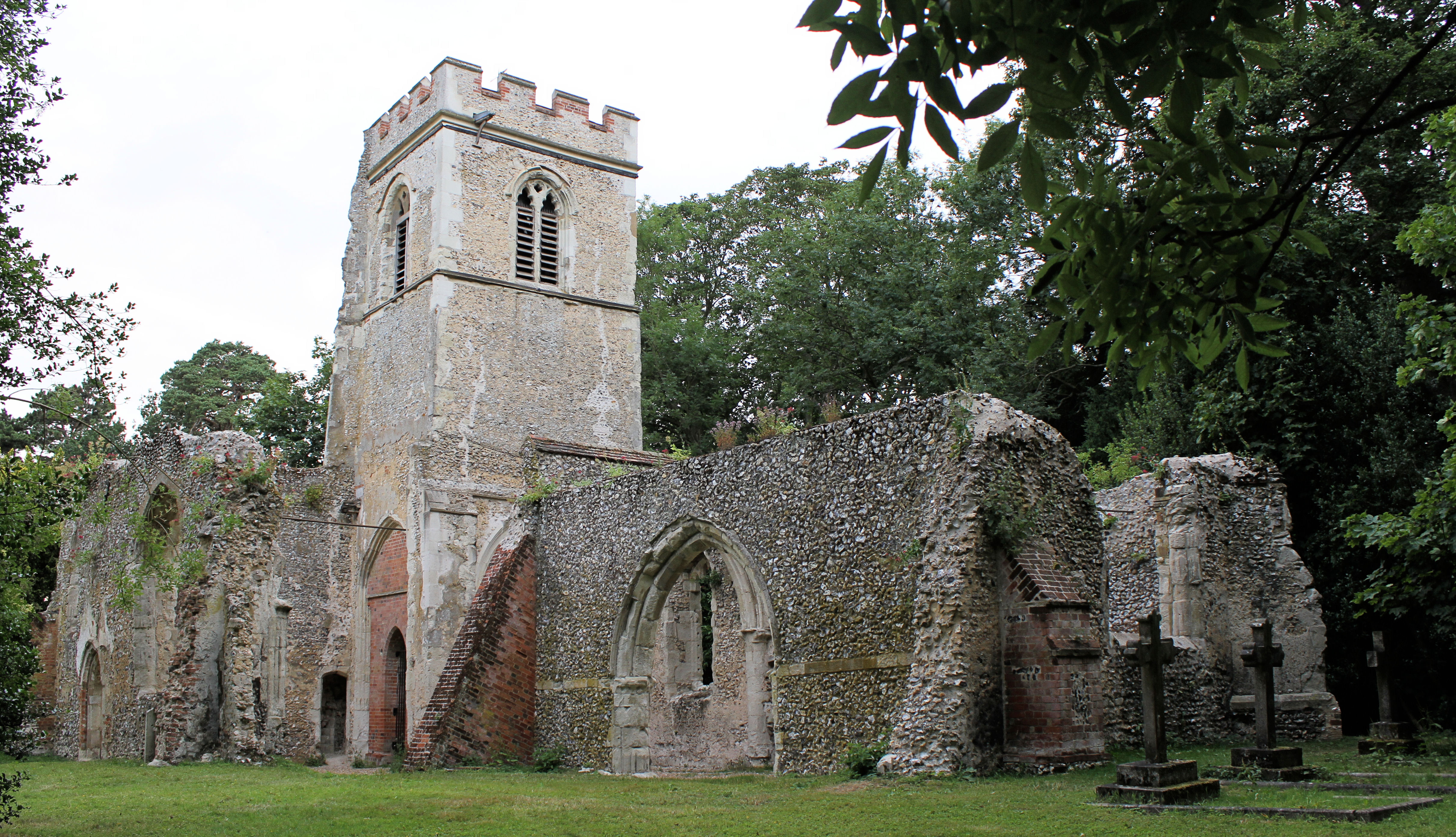
Old St Lawrence Church, Ayot St Lawrence

Old St Lawrence Church is a ruined building in Ayot St Lawrence, Hertfordshire, England. It is protected as a Grade II* listed building, and dates back...

New St Lawrence Church, Ayot St Lawrence

St Lawrence Church is an eighteenth-century, neoclassical church in Ayot St Lawrence, Hertfordshire, England. It is also known as New St Lawrence Church...

Ayot St Lawrence

Ayot St Lawrence is a small English village and civil parish in Hertfordshire, two miles (three kilometres) west of Welwyn. There are several other Ayots...

Shaw's Corner

Shaw's Corner was the primary residence of the renowned Irish playwright George Bernard Shaw; it is now a National Trust property open to the public as...

Kimpton, Hertfordshire

Kimpton is a village in Hertfordshire, England, six miles south of Hitchin, seven miles north of St Albans and four miles from Harpenden and Luton. The...

Nearby Amenities

Located within 500m of 51.848956,-0.2487988
Created By: osmeditor2
Lat/Long: 51.849426/-0.2437672
Barrier: kissing_gate
Lat/Long: 51.8528043/-0.2475625
Barrier: kissing_gate
Lat/Long: 51.8516937/-0.2497831
Barrier: kissing_gate
Lat/Long: 51.850688/-0.2513272
Barrier: kissing_gate
Lat/Long: 51.8529434/-0.2482014
Barrier: kissing_gate
Lat/Long: 51.8502623/-0.2465186
Barrier: kissing_gate
Lat/Long: 51.8500328/-0.2500072
Barrier: kissing_gate
Lat/Long: 51.8502041/-0.2465495
Bus Stop
Codicote Mill
Naptan AtcoCode: 210021101171
Naptan Bearing: SW
Naptan BusStopType: CUS
Naptan CommonName: Codicote Mill
Naptan Crossing: opp Codicote Mill
Naptan Indicator: opp
Naptan Landmark: opp Codicote Mill
Naptan NaptanCode: hrtgmajw
Naptan PlusbusZoneRef: STEVNGE
Naptan ShortCommonName: NA
Naptan Street: Heath Hill
Naptan Verified: no
Source: naptan_import
Lat/Long: 51.8477236/-0.2476972
Bus Stop
Tanyard Lane
Naptan AtcoCode: 210021101173
Naptan Bearing: W
Naptan BusStopType: CUS
Naptan CommonName: Tanyard Lane
Naptan Crossing: opp Shepherds Cottage
Naptan Indicator: adj
Naptan Landmark: opp Shepherds Cottage
Naptan NaptanCode: hrtgmama
Naptan ShortCommonName: NA
Naptan Street: Kimpton Road
Naptan Verified: no
Source: naptan_import
Lat/Long: 51.8492864/-0.2560432
Bus Stop
Codicote Mill
Naptan AtcoCode: 210021106997
Naptan Bearing: NE
Naptan BusStopType: CUS
Naptan CommonName: Codicote Mill
Naptan Crossing: Codicote Mill
Naptan Indicator: adj
Naptan Landmark: Codicote Mill
Naptan NaptanCode: hrtgjgdm
Naptan PlusbusZoneRef: STEVNGE
Naptan ShortCommonName: NA
Naptan Street: Heath Hill
Naptan Verified: no
Source: naptan_import
Lat/Long: 51.8479328/-0.2472535
Post Box
Collection Plate: missing
Collection Times: Mo-Fr 16:45; Sa 07:15
Post Box Type: wall
Ref: SG4 70
Royal Cypher: GR
Royal Cypher Wikidata: Q33102273
Lat/Long: 51.846691/-0.249924
Codicote Heath
Place: locality
Source: OS_OpenData_StreetView
Lat/Long: 51.8517912/-0.2488878
Codicote Bottom
Place: locality
Source: OS_OpenData_StreetView
Lat/Long: 51.848385/-0.2470961
Information: board
Tourism: information
Lat/Long: 51.8478288/-0.2475478
Power: pole
Lat/Long: 51.8491904/-0.2547696
Power: pole
Lat/Long: 51.8487381/-0.2533722
Power: pole
Lat/Long: 51.8483371/-0.2521625
Power: pole
Lat/Long: 51.8479328/-0.2509394
Power: pole
Lat/Long: 51.8476089/-0.2499752
Power: pole
Lat/Long: 51.8472957/-0.2490123
Power: pole
Lat/Long: 51.8459477/-0.2458057
Power: pole
Lat/Long: 51.8467116/-0.2464414
Power: pole
Lat/Long: 51.8467663/-0.246326
Power: pole
Lat/Long: 51.846014/-0.2453738
The data included in this document is from www.openstreetmap.org. The data is made available under ODbL.

Have you been to Heath Plantation?

Leave your review of Heath Plantation below (or comments, questions and feedback).