Quadring High Fen
Downs, Moorland in Lincolnshire South Holland
England
Quadring High Fen
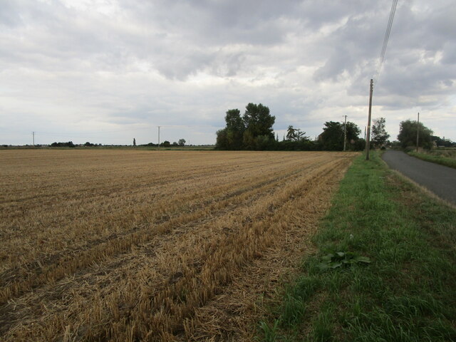
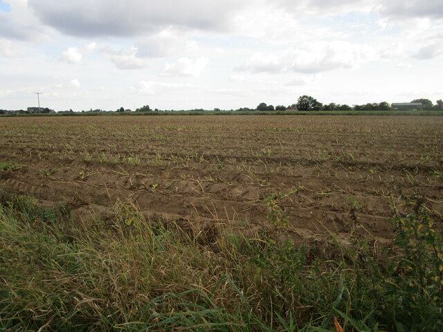
Quadring High Fen is a nature reserve located in Lincolnshire, England. It is characterized by its unique Downs and Moorland landscapes, which make it a fascinating destination for nature enthusiasts. The reserve covers an area of approximately 500 acres and is managed by the Lincolnshire Wildlife Trust.
The Downs area of Quadring High Fen is dominated by gently rolling hills and provides stunning panoramic views of the surrounding countryside. It is home to a variety of grassland species, including wildflowers such as orchids and cowslips. The area is also frequented by different bird species, making it a popular spot for birdwatching.
The Moorland section of the reserve features vast expanses of open heathland, dotted with gorse bushes and scattered pools. This habitat supports a diverse range of plant and animal species, including heather and bilberry. It is also an important breeding ground for several bird species, such as the Eurasian curlew and the European nightjar.
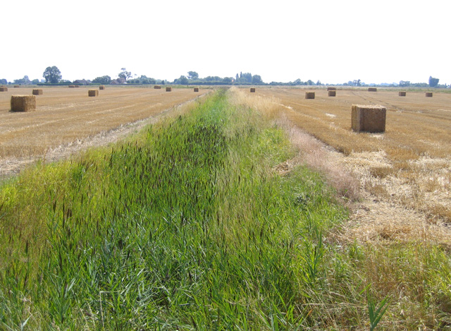
Visitors to Quadring High Fen can explore a network of well-maintained walking trails that traverse the reserve. These trails offer the opportunity to observe the diverse flora and fauna that inhabit the area and provide a peaceful environment for relaxation and reflection.
Overall, Quadring High Fen, with its Downs and Moorland landscapes, showcases the rich natural heritage of Lincolnshire. It offers a unique and picturesque setting for nature lovers to immerse themselves in the beauty of the English countryside.
If you have any feedback on the listing, please let us know in the comments section below.
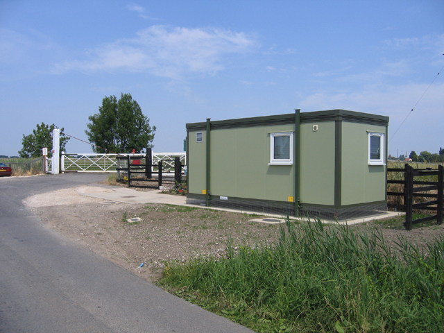
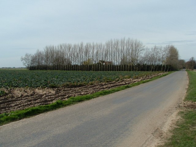
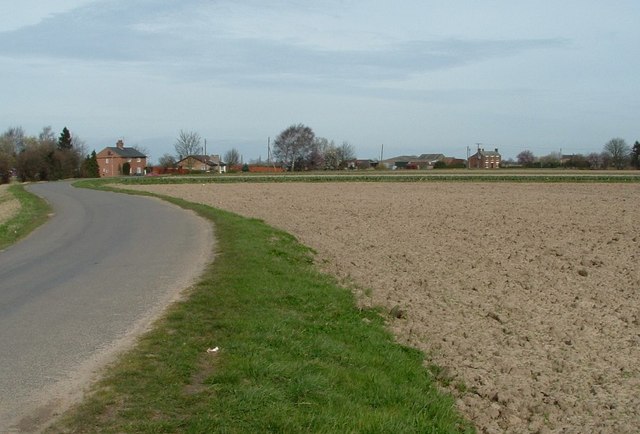
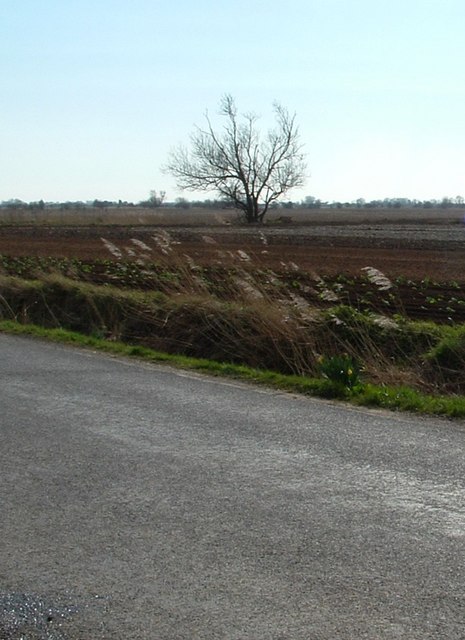
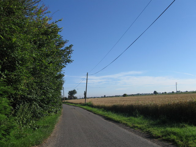
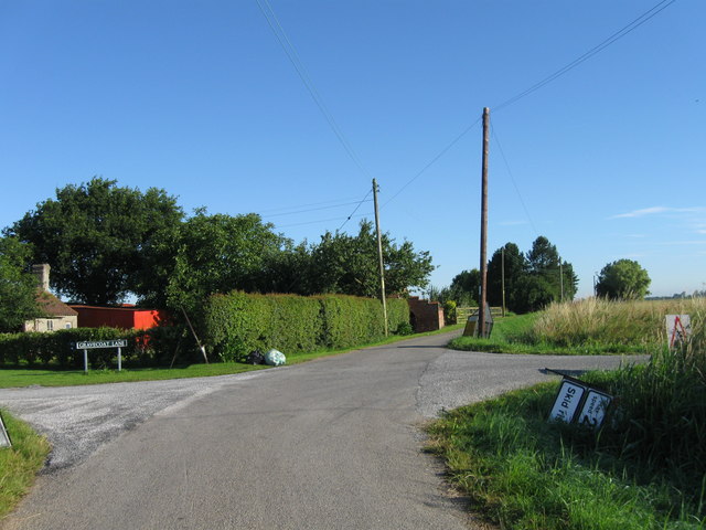
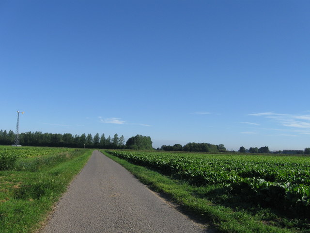
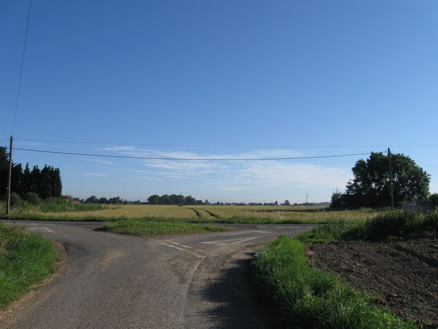
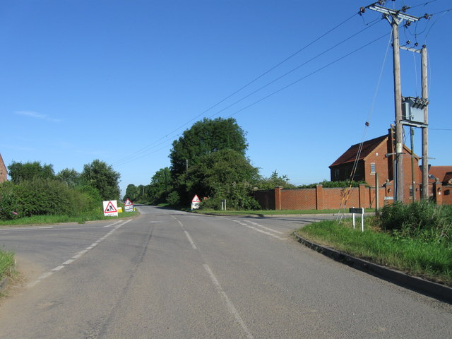
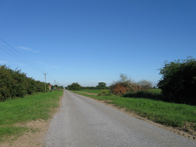
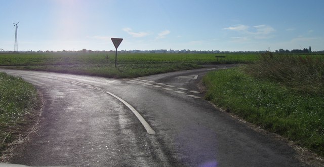
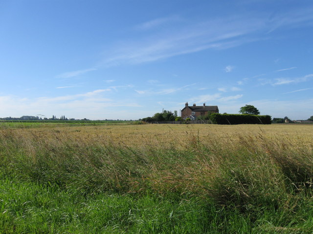
Quadring High Fen Images
Images are sourced within 2km of 52.874641/-0.21587924 or Grid Reference TF2032. Thanks to Geograph Open Source API. All images are credited.


Quadring High Fen is located at Grid Ref: TF2032 (Lat: 52.874641, Lng: -0.21587924)
Administrative County: Lincolnshire
District: South Holland
Police Authority: Lincolnshire
What 3 Words
///cakewalk.spoons.capers. Near Donington, Lincolnshire
Nearby Locations
Related Wikis

Quadring Fen
Quadring Fen is a hamlet in the South Holland district of Lincolnshire, England. It is situated 2 miles (3.2 km) south from the A52 road, 5 miles (8.0...

Westhorpe, Lincolnshire
Westhorpe is a hamlet in the civil parish of Gosberton and the South Holland district of Lincolnshire, England. It is 30 miles (50 km) south-east from...

Quadring
Quadring is a small village and civil parish in the South Holland district of Lincolnshire. It lies on the A152, 2 miles (3.2 km) north-east of Gosberton...
Gosberton Clough
Gosberton Clough is a village in the civil parish of Gosberton and the South Holland district of Lincolnshire, England. It is 30 miles (50 km) south-east...
Nearby Amenities
Located within 500m of 52.874641,-0.21587924Have you been to Quadring High Fen?
Leave your review of Quadring High Fen below (or comments, questions and feedback).