Conington Fen

Downs, Moorland in Huntingdonshire Huntingdonshire

England

Conington Fen

Stubble fields and dry drain near Gault Hill Farm The very edge of the Fens.
Stubble fields and dry drain near Gault Hill Farm Credit: Jonathan Thacker

Conington Fen, located in Huntingdonshire, is a unique and diverse natural landscape encompassing downs, moorland, and marshland. Covering an area of approximately 2,500 acres, it is a significant site for conservation and wildlife preservation.

The fen is characterized by its rolling downs, which are the remnants of ancient sand dunes formed thousands of years ago. These downs provide a picturesque backdrop and offer stunning panoramic views of the surrounding countryside.

The moorland within Conington Fen is a rich tapestry of heather, bracken, and gorse, creating a vibrant and colorful habitat for a range of plant and animal species. The acidic nature of the soil supports the growth of unique flora, including various species of orchids and carnivorous plants.

The fen also boasts an extensive network of marshes, which provide a valuable wetland habitat for a diverse array of bird species, such as bitterns, marsh harriers, and avocets. These marshes are teeming with life, with numerous fish, amphibians, and invertebrates thriving in the nutrient-rich waters.

Conington Fen is managed by a dedicated team of conservationists, who work tirelessly to preserve and enhance the natural environment. They implement various measures to protect the delicate ecosystems, including controlled burning to maintain the heathland and regular monitoring of bird populations.

The fen is a popular destination for nature enthusiasts, hikers, and birdwatchers, offering a tranquil and immersive experience in the heart of the English countryside. Its diverse landscapes and abundant wildlife make it a true haven for those seeking a connection with nature.

If you have any feedback on the listing, please let us know in the comments section below.

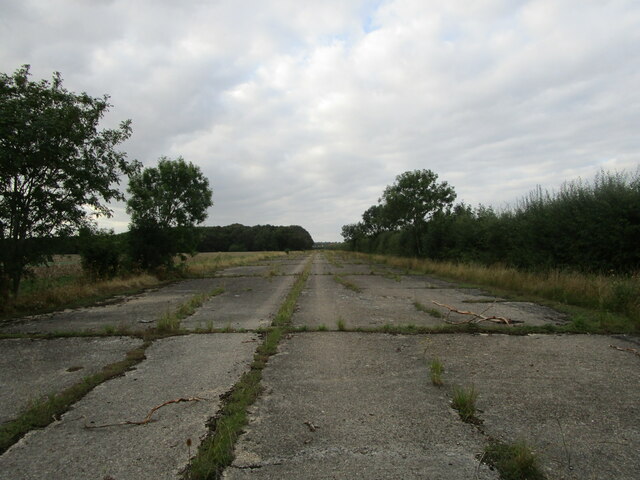
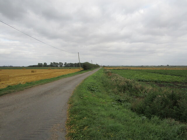
Conington Fen Images

Images are sourced within 2km of 52.457535/-0.23358284 or Grid Reference TL2085. Thanks to Geograph Open Source API. All images are credited.

Stubble fields and dry drain near Gault Hill Farm The very edge of the Fens.
Stubble fields and dry drain near Gault Hill Farm
The very edge of the Fens.
Stubble field near Ivy Farm Looking towards the East Coast Main Line.
Stubble field near Ivy Farm
Looking towards the East Coast Main Line.
Gates to Conington House and footpath to the church Probably date from the early seventeenth century.
Gates to Conington House and footpath to the church
Probably date from the early seventeenth century.
Former taxiway, RAF Glatton RAF Glatton opened as a USAF base in 1943. It closed in 1948 <span class="nowrap"><a title="https://en.wikipedia.org/wiki/RAF_Glatton" rel="nofollow ugc noopener" href="https://en.wikipedia.org/wiki/RAF_Glatton">Link</a><img style="margin-left:2px;" alt="External link" title="External link - shift click to open in new window" src="https://s1.geograph.org.uk/img/external.png" width="10" height="10"/></span>
Despite its short life it has had a major impact on the surroundings of Conington with many roads clearly having originally been part of the base. Concrete beneath the tarmac is the giveaway.
Former taxiway, RAF Glatton
RAF Glatton opened as a USAF base in 1943. It closed in 1948 LinkExternal link Despite its short life it has had a major impact on the surroundings of Conington with many roads clearly having originally been part of the base. Concrete beneath the tarmac is the giveaway.
Track beside the railway An access track for Network Rail.
Track beside the railway
An access track for Network Rail.
Stubble field, Conington Fen
Holme Brook Rather overgrown.  The brook is passing beneath a Network Rail access track adjacent to the East Coast Main Line.
Holme Brook
Rather overgrown. The brook is passing beneath a Network Rail access track adjacent to the East Coast Main Line.
Prepared field and Gault Hill Farm Hill is relative in this flat landscape.
Prepared field and Gault Hill Farm
Hill is relative in this flat landscape.
Lane near Ivy Farm Looking towards Ivy Farm.
Lane near Ivy Farm
Looking towards Ivy Farm.
Railway access bridge over Conington Brook
Conington Brook and lane to Fen Farm, Conington Fen
Lane in Conington Fen
Railway bridge over Conington Brook
Conington Brook
Conington Brook
Stubble field at Conington Looking towards Home Farm.
Stubble field at Conington
Looking towards Home Farm.
Sewage works at Holme The East Coast Main Line railway in the background.
Sewage works at Holme
The East Coast Main Line railway in the background.
Stubble field at Holme The buildings of Peterborough Business Airport in the distance.
Stubble field at Holme
The buildings of Peterborough Business Airport in the distance.
Mast, Goose Green Farm
Show me another place!

Conington Fen is located at Grid Ref: TL2085 (Lat: 52.457535, Lng: -0.23358284)

Administrative County: Cambridgeshire

District: Huntingdonshire

Police Authority: Cambridgeshire

What 3 Words

///freezers.head.rooting. Near Sawtry, Cambridgeshire

Related Wikis

Middle Level Navigations

The Middle Level Navigations are a network of waterways in England, primarily used for land drainage, which lie in The Fens between the Rivers Nene and...

Connington South rail crash

The Connington South rail crash occurred on 5 March 1967 on the East Coast Main Line near the village of Conington, Huntingdonshire, England. Five passengers...

RAF Glatton

Royal Air Force Glatton or more simply RAF Glatton is a former Royal Air Force station located 10 miles (16 km) north of Huntingdon, Cambridgeshire, England...

Peterborough Business Airport

Peterborough Business Airport (ICAO: EGSF) is a privately owned airfield in the English county of Cambridgeshire near the villages of Holme and Conington...

Nearby Amenities

Located within 500m of 52.457535,-0.23358284
Railway: level_crossing
Lat/Long: 52.4601358/-0.236522
Railway: level_crossing
Lat/Long: 52.4601293/-0.2365897
Railway: level_crossing
Lat/Long: 52.4601441/-0.2364718
Power: pole
Lat/Long: 52.4551775/-0.2285858
Power: transformer
Lat/Long: 52.4543636/-0.2292617
Power: pole
Lat/Long: 52.456629/-0.2273709
Power: pole
Lat/Long: 52.4573302/-0.2267781
Power: pole
Lat/Long: 52.4559017/-0.2279824
The data included in this document is from www.openstreetmap.org. The data is made available under ODbL.

Have you been to Conington Fen?

Leave your review of Conington Fen below (or comments, questions and feedback).