Cobalder Spinney
Wood, Forest in Huntingdonshire Huntingdonshire
England
Cobalder Spinney

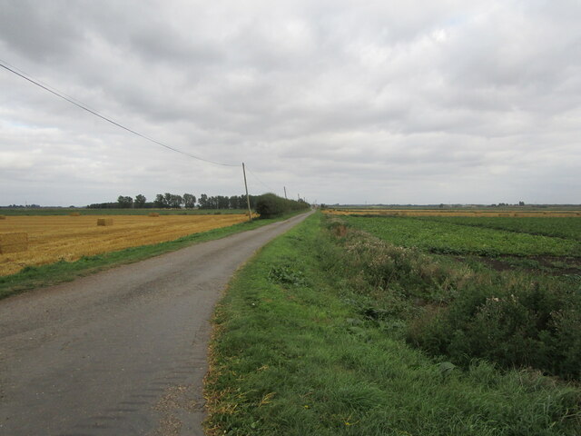
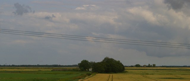
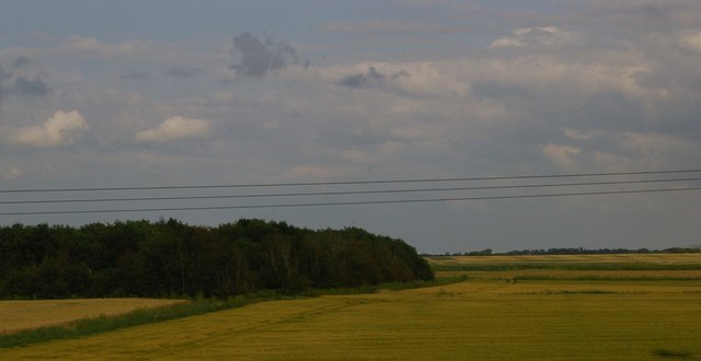
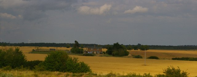
Cobalder Spinney is a picturesque woodland located in Huntingdonshire, England. Covering an area of approximately 10 acres, this enchanting forest is nestled amidst the rolling countryside, offering visitors a serene escape from the hustle and bustle of everyday life.
The woodland is predominantly composed of a variety of native tree species, including oak, birch, and beech, which create a lush and verdant canopy overhead. The forest floor is adorned with a vibrant carpet of wildflowers and ferns, adding to the natural beauty of the surroundings.
Cobalder Spinney is home to a diverse range of wildlife, providing a haven for both flora and fauna. Birdwatchers will delight in the opportunity to spot various species, such as woodpeckers, owls, and songbirds, while nature enthusiasts may encounter squirrels, rabbits, and even the occasional deer.
With its well-maintained footpaths and trails, the woodland is a popular destination for walkers, hikers, and nature lovers. Visitors can meander through the forest, immersing themselves in the tranquil ambiance and enjoying the sights and sounds of nature. The peaceful atmosphere also makes Cobalder Spinney an ideal spot for picnics, allowing visitors to relax and unwind amidst the beautiful surroundings.
Cobalder Spinney is easily accessible, situated just a short distance from the nearby village of Huntingdonshire. Whether seeking solitude in nature, indulging in wildlife observation, or simply enjoying a leisurely stroll, this charming woodland offers an idyllic retreat for all who venture within its leafy embrace.
If you have any feedback on the listing, please let us know in the comments section below.
Cobalder Spinney Images
Images are sourced within 2km of 52.451938/-0.2314963 or Grid Reference TL2085. Thanks to Geograph Open Source API. All images are credited.


Cobalder Spinney is located at Grid Ref: TL2085 (Lat: 52.451938, Lng: -0.2314963)
Administrative County: Cambridgeshire
District: Huntingdonshire
Police Authority: Cambridgeshire
What 3 Words
///hotspot.eaten.purse. Near Sawtry, Cambridgeshire
Nearby Locations
Related Wikis

Connington South rail crash
The Connington South rail crash occurred on 5 March 1967 on the East Coast Main Line near the village of Conington, Huntingdonshire, England. Five passengers...

Middle Level Navigations
The Middle Level Navigations are a network of waterways in England, primarily used for land drainage, which lie in The Fens between the Rivers Nene and...

RAF Glatton
Royal Air Force Glatton or more simply RAF Glatton is a former Royal Air Force station located 10 miles (16 km) north of Huntingdon, Cambridgeshire, England...

Peterborough Business Airport
Peterborough Business Airport (ICAO: EGSF) is a privately owned airfield in the English county of Cambridgeshire near the villages of Holme and Conington...

Conington Castle
Conington Castle was a 16th-century house in Conington, Huntingdonshire, England, built for Sir Robert Cotton. It was demolished in 1956 by the then owner...

All Saints Church, Conington
All Saints Church is a redundant Anglican church in the village of Conington in the Huntingdonshire district of Cambridgeshire, England. It is recorded...
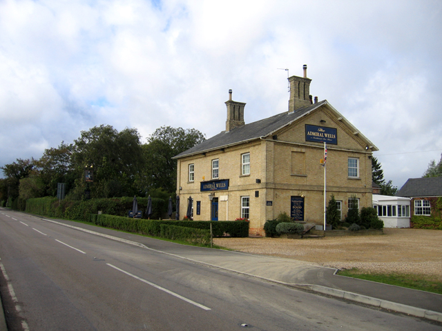
Admiral Wells
The Admiral Wells is a public house in Holme, Huntingdonshire, now in Cambridgeshire. Nearby Holme Fen is 2.75 metres (9.0 feet) below sea level, and the...
Holme railway station (Cambridgeshire)
Holme railway station is a former station in Holme, Cambridgeshire. == History == The first section of the Great Northern Railway (GNR) - that from Louth...
Nearby Amenities
Located within 500m of 52.451938,-0.2314963Have you been to Cobalder Spinney?
Leave your review of Cobalder Spinney below (or comments, questions and feedback).