Quadring

Civil Parish in Lincolnshire South Holland

England

Quadring

Church End, Quadring: aerial 2021
Church End, Quadring: aerial 2021 Credit: Chris

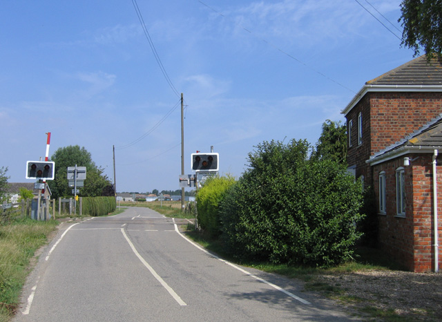
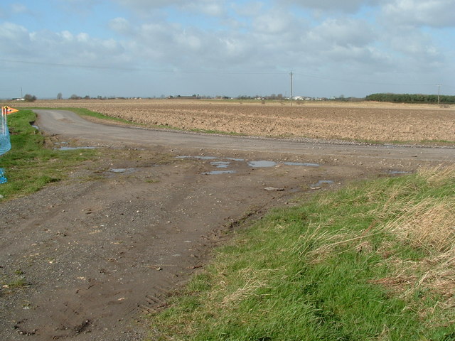
Quadring is a civil parish located in the South Holland district of Lincolnshire, England. It lies approximately 6 miles south of the town of Spalding and covers an area of about 9 square miles. The parish is situated on the eastern bank of the River Glen, which serves as its eastern boundary.

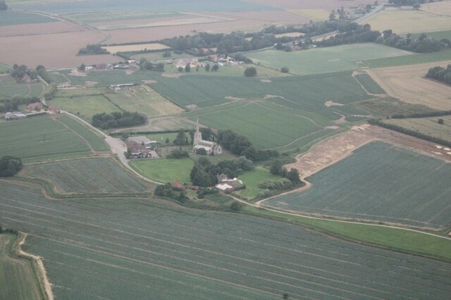
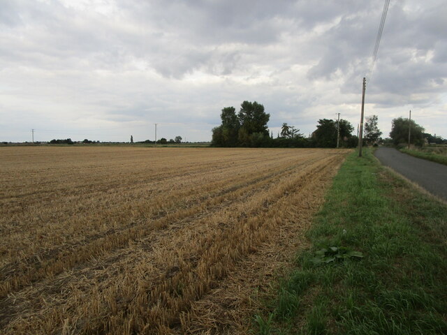
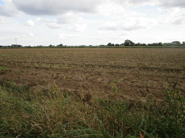
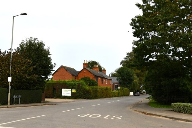
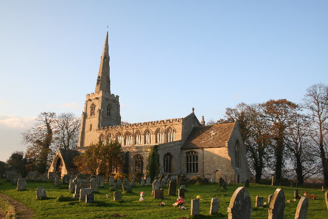
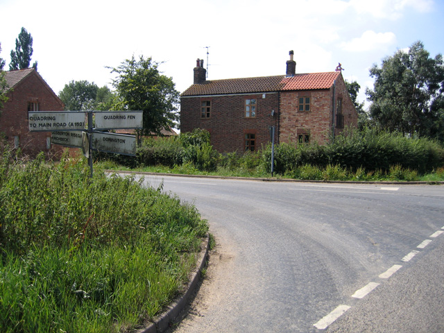
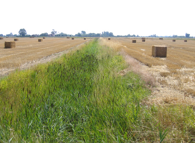
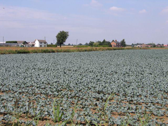
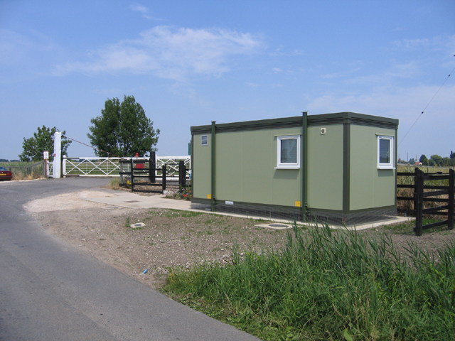
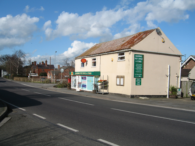
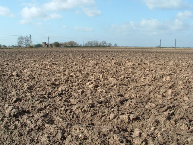
Quadring is a rural village with a population of around 1,200 people. It is primarily an agricultural area, with a landscape dominated by farmland and open countryside. The village itself consists of a small cluster of houses and amenities, including a primary school, a village hall, and a local pub. The parish also encompasses the hamlet of Quadring Eaudyke, which is located to the east of the village.

The area has a rich history, with evidence of human habitation dating back to the Roman period. In 2010, an archaeological excavation in Quadring unearthed a Roman villa, complete with mosaic floors, suggesting a prosperous settlement in the area during that time.

Quadring benefits from its close proximity to the River Glen, providing opportunities for recreational activities such as boating and fishing. The surrounding countryside also offers beautiful walks and scenic views, attracting nature enthusiasts and outdoor enthusiasts alike.

Overall, Quadring is a picturesque and peaceful village, offering a rural lifestyle with easy access to nearby towns and amenities. Its historical significance and natural beauty make it an attractive place to live or visit for those seeking a tranquil countryside experience.

If you have any feedback on the listing, please let us know in the comments section below.

Quadring Images

Images are sourced within 2km of 52.880069/-0.204289 or Grid Reference TF2032. Thanks to Geograph Open Source API. All images are credited.

Church End, Quadring: aerial 2021
Donington South Ing
Donington South Ing
Malting Lane level crossing Viewed looking towards Donington village on a bright late-August afternoon.
Malting Lane level crossing
Viewed looking towards Donington village on a bright late-August afternoon.
Stubble field adjacent to Westhorpe Road
Potato field, Gravecoat Lane The tops have been cut ready for the potatoes to be harvested.
Potato field, Gravecoat Lane
The tops have been cut ready for the potatoes to be harvested.
Bull's Bank, Donington South Ing
Church End Drove crossing the Spalding to Sleaford line One of six level crossings in just over a mile of track!
Church End Drove crossing the Spalding to Sleaford line
One of six level crossings in just over a mile of track!
Quadring: Water Gate
Railway near Gosberton
St.Margaret's church, Quadring, Lincs. One of the many grand Perpendicular churches in this part of Lincolnshire. St.Margaret's stands some distance north of the village of Quadring.
St.Margaret's church, Quadring, Lincs.
One of the many grand Perpendicular churches in this part of Lincolnshire. St.Margaret's stands some distance north of the village of Quadring.
Crossroads with finger post, Quadring High Fen, Lincs Quadring Bank from Town Drove.
Crossroads with finger post, Quadring High Fen, Lincs
Quadring Bank from Town Drove.
Reedy drain from Bull's Bank, Donington South Ing, Lincs
Donington South Ing, Donington, Lincs – view from Bull's Bank across a field of young brassicas.
Donington South Ing, Donington, Lincs
– view from Bull's Bank across a field of young brassicas.
Malting Lane level crossing on Ing Drove, Donington, Lincs
Golden High Hedges level crossing, Donington South Ing, Lincs The Spalding–Sleaford line crosses Cowdale's Drove at its junction with Bull's Bank.
Golden High Hedges level crossing, Donington South Ing, Lincs
The Spalding–Sleaford line crosses Cowdale's Drove at its junction with Bull's Bank.
Post Office, Quadring, Lincs – view N across Main Road towards the junction with Watergate.
Post Office, Quadring, Lincs
– view N across Main Road towards the junction with Watergate.
South Ing Road This corner of the road is where a small track joins it from the East, known locally as "Scotch Street" it was once a droving road that avoided a nearby Turnpike and Donington village.
South Ing Road
This corner of the road is where a small track joins it from the East, known locally as "Scotch Street" it was once a droving road that avoided a nearby Turnpike and Donington village.
Ploughed now weathering Waiting for the soil to warm before the spring planting to begin
Ploughed now weathering
Waiting for the soil to warm before the spring planting to begin
Show me another place!

Quadring is located at Grid Ref: TF2032 (Lat: 52.880069, Lng: -0.204289)

Administrative County: Lincolnshire

District: South Holland

Police Authority: Lincolnshire

What 3 Words

///birthdays.commander.fortress. Near Donington, Lincolnshire

Nearby Locations

Quadring High Fen Quadring

Related Wikis

Quadring

Quadring is a small village and civil parish in the South Holland district of Lincolnshire. It lies on the A152, 2 miles (3.2 km) north-east of Gosberton...

Westhorpe, Lincolnshire

Westhorpe is a hamlet in the civil parish of Gosberton and the South Holland district of Lincolnshire, England. It is 30 miles (50 km) south-east from...

A152 road

The A152 is a small non-primary A-road in Lincolnshire, from Donington to Surfleet linking the A52 and the A16, two major primary routes. Between Donington...

Quadring Fen

Quadring Fen is a hamlet in the South Holland district of Lincolnshire, England. It is situated 2 miles (3.2 km) south from the A52 road, 5 miles (8.0...

Donington Road railway station

Donington Road railway station was a station in Lincolnshire on the line between Spalding and Sleaford. == References == == External links == Donington...

Donington, Lincolnshire

Donington is a large village and civil parish in the South Holland district of Lincolnshire, England. It is 8 miles (13 km) north from the market town...

Cowley Academy

Cowley Academy (formally The Thomas Cowley High School) is a mixed secondary school with Academy status, in Donington, Lincolnshire, England. As of 1 September...

Risegate

Risegate is a village in the civil parish of Gosberton and the South Holland district of Lincolnshire, England. It is 30 miles (50 km) south-east from...

Nearby Amenities

Located within 500m of 52.880069,-0.204289
Turners (Soham) Ltd (Quadring)
Addr City: Spalding
Addr Country: GB
Addr Housename: Quadring
Addr Postcode: PE11 4PU
Addr Street: Town Drove
Building: warehouse
Lat/Long: 52.879539/-0.1973763
Ashtree Farm
Place: farm
Source: Bing
Lat/Long: 52.883419/-0.204596
Bank Farm
Place: farm
Source: Bing
Lat/Long: 52.8839514/-0.2026578
Crosskeys Farm
Place: farm
Source: Bing
Lat/Long: 52.8804344/-0.2070422
Lakeside Farm
Place: farm
Source: Bing
Lat/Long: 52.8793006/-0.1973731
Red Fox Farm
Place: farm
Source: Bing
Lat/Long: 52.8769171/-0.2075903
Redhouse Farm
Place: farm
Source: Bing
Lat/Long: 52.8792324/-0.2025108
Sandygate Farm
Place: farm
Source: Bing
Lat/Long: 52.8779659/-0.2030989
Stoneridge Farm
Place: farm
Source: Bing
Lat/Long: 52.8765057/-0.2080982
The Hollies
Place: isolated_dwelling
Source: Bing
Lat/Long: 52.8836353/-0.2053666
Newholme
Place: isolated_dwelling
Lat/Long: 52.8830861/-0.2057301
The data included in this document is from www.openstreetmap.org. The data is made available under ODbL.

Have you been to Quadring?

Leave your review of Quadring below (or comments, questions and feedback).