Donington Up Fen
Downs, Moorland in Lincolnshire South Holland
England
Donington Up Fen

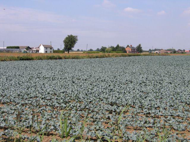
Donington Up Fen is a small village located in the county of Lincolnshire, England. Situated in the eastern part of the county, it is nestled within the picturesque landscape of the Lincolnshire Wolds, a designated Area of Outstanding Natural Beauty. The village itself is characterized by its charming rural setting, with rolling hills, vast fields, and meandering streams.
Downs and moorland dominate the surrounding area, providing a diverse and rich habitat for wildlife. The village is renowned for its stunning views, particularly from the higher points, where one can admire the vast expanse of the countryside stretching out before them. This makes it a popular destination for walkers, hikers, and nature enthusiasts.
In terms of amenities, Donington Up Fen offers a range of facilities to cater to its residents' needs. These include a local primary school, a village hall, and a few small shops, ensuring that the local community has access to essential services close to home. The village also benefits from a strong sense of community spirit, with various social events and activities organized throughout the year.
Despite its small size, Donington Up Fen boasts a rich history, with evidence of human settlement dating back to the Roman period. The area is dotted with historical landmarks, including ancient burial mounds and remnants of Roman roads, which serve as a reminder of the village's long-standing heritage.
In conclusion, Donington Up Fen offers a tranquil and idyllic setting, perfectly suited for those seeking a peaceful retreat amidst the beauty of the Lincolnshire countryside.
If you have any feedback on the listing, please let us know in the comments section below.
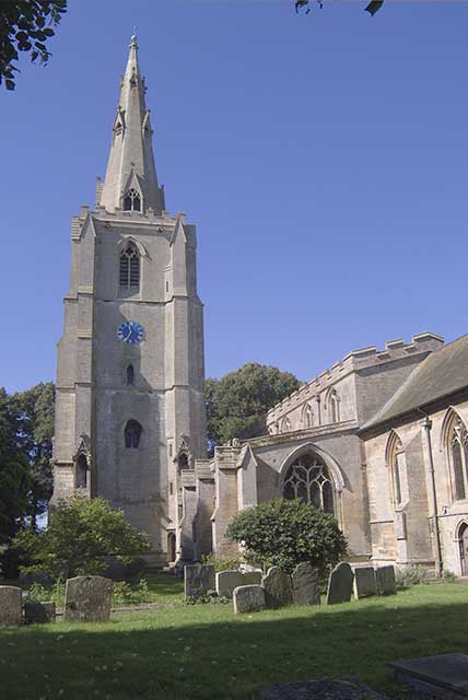
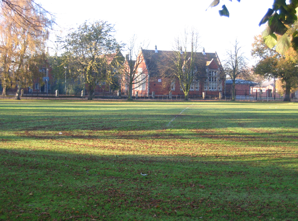
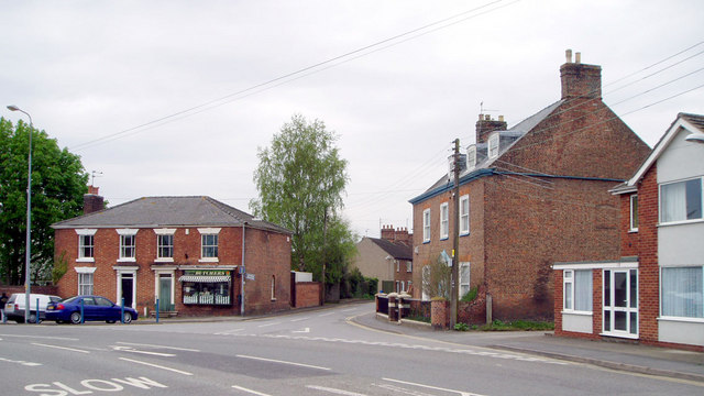
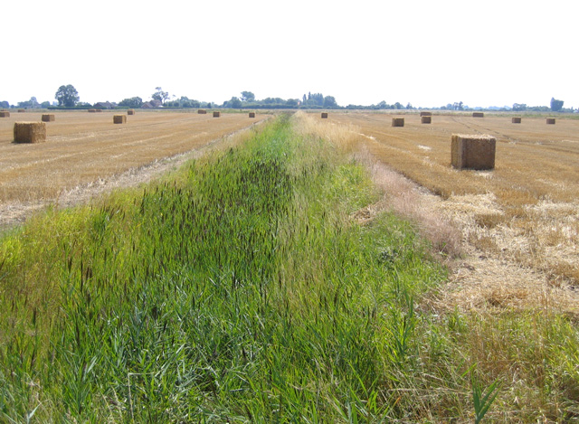
Donington Up Fen Images
Images are sourced within 2km of 52.899293/-0.22792063 or Grid Reference TF1935. Thanks to Geograph Open Source API. All images are credited.


Donington Up Fen is located at Grid Ref: TF1935 (Lat: 52.899293, Lng: -0.22792063)
Administrative County: Lincolnshire
District: South Holland
Police Authority: Lincolnshire
What 3 Words
///flop.voted.reckon. Near Donington, Lincolnshire
Nearby Locations
Related Wikis

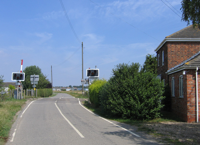
Donington Road railway station
Donington Road railway station was a station in Lincolnshire on the line between Spalding and Sleaford. == References == == External links == Donington...

Cowley Academy
Cowley Academy (formally The Thomas Cowley High School) is a mixed secondary school with Academy status, in Donington, Lincolnshire, England. As of 1 September...

Donington, Lincolnshire
Donington is a large village and civil parish in the South Holland district of Lincolnshire, England. It is 8 miles (13 km) north from the market town...

Quadring Fen
Quadring Fen is a hamlet in the South Holland district of Lincolnshire, England. It is situated 2 miles (3.2 km) south from the A52 road, 5 miles (8.0...

Quadring
Quadring is a small village and civil parish in the South Holland district of Lincolnshire. It lies on the A152, 2 miles (3.2 km) north-east of Gosberton...

Bicker Gauntlet
Bicker Gauntlet is a village in Lincolnshire, England. It is in the civil parish of Bicker. == External links == Media related to Bicker Gauntlet at Wikimedia...

Bicker, Lincolnshire
Bicker is a village in the Borough of Boston, Lincolnshire, England. The population of the village was 941 at the 2011 census. It is situated approximately...

Bicker Bar
Bicker Bar is a village in Lincolnshire, England. It is in the civil parish of Bicker == External links == Media related to Bicker Bar at Wikimedia Commons
Nearby Amenities
Located within 500m of 52.899293,-0.22792063Have you been to Donington Up Fen?
Leave your review of Donington Up Fen below (or comments, questions and feedback).