Bullbank Holt

Wood, Forest in Lincolnshire South Holland

England

Bullbank Holt

Donington South Ing
Donington South Ing Credit: Jonathan Thacker

Bullbank Holt is a small woodland area located in Lincolnshire, England. Situated in the heart of the county, it encompasses an area of approximately 50 acres. The woodland is known for its dense covering of mature trees, predominantly oak, beech, and ash, creating a tranquil and picturesque environment.

The history of Bullbank Holt dates back centuries, with records indicating its existence as early as the 12th century. It was initially used as a hunting ground for the local nobility, and evidence of ancient deer parks can still be found within its boundaries.

Today, Bullbank Holt serves as an important habitat for a variety of wildlife. The dense vegetation provides shelter and nesting sites for numerous bird species, including great tits, blue tits, and woodpeckers. Small mammals, such as rabbits, squirrels, and hedgehogs, can also be spotted scurrying amongst the undergrowth.

The woodland is a popular destination for nature enthusiasts and walkers, who can explore the network of well-maintained footpaths that crisscross through the trees. These paths offer visitors a chance to immerse themselves in the tranquility of nature, away from the bustling towns and cities.

Bullbank Holt is managed by the local council, who ensure its preservation and protection. They actively work to maintain the biodiversity of the woodland, carrying out necessary maintenance tasks such as tree thinning and invasive species control.

In conclusion, Bullbank Holt in Lincolnshire is a charming woodland area with a rich history and diverse wildlife. It offers a peaceful retreat for visitors to enjoy the beauty of nature and escape the demands of modern life.

If you have any feedback on the listing, please let us know in the comments section below.

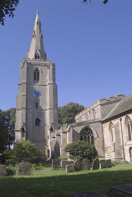
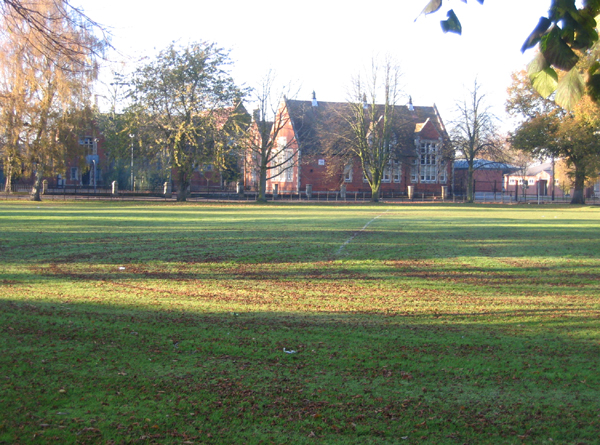
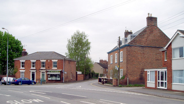
Bullbank Holt Images

Images are sourced within 2km of 52.906325/-0.221983 or Grid Reference TF1935. Thanks to Geograph Open Source API. All images are credited.

Donington South Ing
Donington South Ing
Malting Lane level crossing Viewed looking towards Donington village on a bright late-August afternoon.
Malting Lane level crossing
Viewed looking towards Donington village on a bright late-August afternoon.
A blacksmith's grave at Donington Some old gravestones at Donington were made from a smooth, hard stone that has largely resisted weathering and so are still legible. The inscription reads:
SACRED
To the Memory of
JAMES NUNNERY.
Who departed this Life
April 22 1820
AGED 78 YEARS
Carved across the top are the symbols of the blacksmith’s trade – the forge, bellows, anvil and hammers.
A blacksmith's grave at Donington
Some old gravestones at Donington were made from a smooth, hard stone that has largely resisted weathering and so are still legible. The inscription reads: SACRED To the Memory of JAMES NUNNERY. Who departed this Life April 22 1820 AGED 78 YEARS Carved across the top are the symbols of the blacksmith’s trade – the forge, bellows, anvil and hammers.
Approaching Donington Church The bright flowers make a lovely approach to St. Mary and the Holy Rood Church in Donington village.
Approaching Donington Church
The bright flowers make a lovely approach to St. Mary and the Holy Rood Church in Donington village.
The A52 near Donington The main road passes by the village.
The A52 near Donington
The main road passes by the village.
Badgate Road Viewed at the junction with Quadring Road.
Badgate Road
Viewed at the junction with Quadring Road.
Mill Lane Housing on the outskirts of Donington village.
Mill Lane
Housing on the outskirts of Donington village.
High Street, Donington 'Duninctune' in the Doomsday Book. Possibly referring to a person (i.e. 'Dunna's settlement'), or a topographic term (i.e.' hill settlement' from OE 'dun' = 'hill') <span class="nowrap"><a title="http://kepn.nottingham.ac.uk/map/place/Lincolnshire/Donington%20on%20Bain" rel="nofollow ugc noopener" href="http://kepn.nottingham.ac.uk/map/place/Lincolnshire/Donington%20on%20Bain">Link</a><img style="margin-left:2px;" alt="External link" title="External link - shift click to open in new window" src="https://s1.geograph.org.uk/img/external.png" width="10" height="10"/></span> 
The Cross britain Way briefly visits this part of town
High Street, Donington
'Duninctune' in the Doomsday Book. Possibly referring to a person (i.e. 'Dunna's settlement'), or a topographic term (i.e.' hill settlement' from OE 'dun' = 'hill') LinkExternal link The Cross britain Way briefly visits this part of town
Church of St Mary and the Holy Rood, Donington Listed Grade I. For details <span class="nowrap"><a title="https://www.heritagesouthholland.co.uk/article/the-church-of-st-mary-and-the-holy-rood-donington/" rel="nofollow ugc noopener" href="https://www.heritagesouthholland.co.uk/article/the-church-of-st-mary-and-the-holy-rood-donington/">Link</a><img style="margin-left:2px;" alt="External link" title="External link - shift click to open in new window" src="https://s1.geograph.org.uk/img/external.png" width="10" height="10"/></span>
The church contains a small museum section, and a memorial window <a href="https://www.geograph.org.uk/photo/7260453">TF2035 : Flinders Memorial Window, Church of St Mary and the Holy Rood, Donington</a>, dedicated to Donington's famous son, Captain Matthew Flinders.
Church of St Mary and the Holy Rood, Donington
Listed Grade I. For details LinkExternal link The church contains a small museum section, and a memorial window TF2035 : Flinders Memorial Window, Church of St Mary and the Holy Rood, Donington, dedicated to Donington's famous son, Captain Matthew Flinders.
Flinders Memorial Window, Church of St Mary and the Holy Rood, Donington "The Flinders memorial window shows a full length figure of Matthew Flinders holding a telescope in the central window. Portrait medallion images of Joseph Banks and George Bass are to the left and right windows respectively. The lower part of the window shows a map of the south coast of Australia with HMS Investigator, the ship that Flinders captained on his circumnavigation." <span class="nowrap"><a title="https://heritage-explorer.lincolnshire.gov.uk/Monument/MLI22493" rel="nofollow ugc noopener" href="https://heritage-explorer.lincolnshire.gov.uk/Monument/MLI22493">Link</a><img style="margin-left:2px;" alt="External link" title="External link - shift click to open in new window" src="https://s1.geograph.org.uk/img/external.png" width="10" height="10"/></span> 
Flinders's remains, discovered by archaeologists during digging of the HS2 line near Euston Station, are due to be re-interred at this church in 2024, to commemorate the 250th anniversary year of his birth.
Flinders Memorial Window, Church of St Mary and the Holy Rood, Donington
"The Flinders memorial window shows a full length figure of Matthew Flinders holding a telescope in the central window. Portrait medallion images of Joseph Banks and George Bass are to the left and right windows respectively. The lower part of the window shows a map of the south coast of Australia with HMS Investigator, the ship that Flinders captained on his circumnavigation." LinkExternal link Flinders's remains, discovered by archaeologists during digging of the HS2 line near Euston Station, are due to be re-interred at this church in 2024, to commemorate the 250th anniversary year of his birth.
Station Street, Donington The original main road to the east before the bypass was built in 1990. The railway still operates, but the station closed in the 1960s.
Station Street, Donington
The original main road to the east before the bypass was built in 1990. The railway still operates, but the station closed in the 1960s.
Road junction at Donington Church Street veers off left from the A52. St Nary and the Holy Rood Church beyond the houses
Road junction at Donington
Church Street veers off left from the A52. St Nary and the Holy Rood Church beyond the houses
Donington: Crosslands
Donington: Crop
Donington: Crop
Donington Church Spire St Mary and the Holy Rood Church.
Donington Church Spire
St Mary and the Holy Rood Church.
Donington church The church, seldom open, contains an exhibition dedicated to Matthew Flinders, the first person to circumnavigate Australia. Some of his family are marked in the graves right foreground. His brother Sam, who survived him and accompanied him on the remarkable voyage, is buried on the north side.
Donington church
The church, seldom open, contains an exhibition dedicated to Matthew Flinders, the first person to circumnavigate Australia. Some of his family are marked in the graves right foreground. His brother Sam, who survived him and accompanied him on the remarkable voyage, is buried on the north side.
Thomas Cowley High School, Donington, Lincs Formerly Donington Grammar School, established in 1719 by Thomas Cowley (1625–1721); most famous pupil was Matthew Flinders, explorer of Australia <span class="nowrap"><a title="http://www.thomascowley.lincs.sch.uk/prospectus/history.htm" rel="nofollow ugc noopener" href="http://www.thomascowley.lincs.sch.uk/prospectus/history.htm">Link</a><img style="margin-left:2px;" alt="External link" title="External link - shift click to open in new window" src="https://s1.geograph.org.uk/img/external.png" width="10" height="10"/></span> .
Thomas Cowley High School, Donington, Lincs
Formerly Donington Grammar School, established in 1719 by Thomas Cowley (1625–1721); most famous pupil was Matthew Flinders, explorer of Australia LinkExternal link .
Market Place, Donington, Lincs The road going straight on at centre is Park Lane. The main part of the Market Place is to the left, where the car park and statue of Matthew Flinders are.
Market Place, Donington, Lincs
The road going straight on at centre is Park Lane. The main part of the Market Place is to the left, where the car park and statue of Matthew Flinders are.
Show me another place!

Bullbank Holt is located at Grid Ref: TF1935 (Lat: 52.906325, Lng: -0.221983)

Administrative County: Lincolnshire

District: South Holland

Police Authority: Lincolnshire

What 3 Words

///brotherly.drips.mailboxes. Near Donington, Lincolnshire

Related Wikis

Donington Road railway station

Donington Road railway station was a station in Lincolnshire on the line between Spalding and Sleaford. == References == == External links == Donington...

Cowley Academy

Cowley Academy (formally The Thomas Cowley High School) is a mixed secondary school with Academy status, in Donington, Lincolnshire, England. As of 1 September...

Donington, Lincolnshire

Donington is a large village and civil parish in the South Holland district of Lincolnshire, England. It is 8 miles (13 km) north from the market town...

Bicker Gauntlet

Bicker Gauntlet is a village in Lincolnshire, England. It is in the civil parish of Bicker. == External links == Media related to Bicker Gauntlet at Wikimedia...

Bicker, Lincolnshire

Bicker is a village in the Borough of Boston, Lincolnshire, England. The population of the village was 941 at the 2011 census. It is situated approximately...

Quadring Fen

Quadring Fen is a hamlet in the South Holland district of Lincolnshire, England. It is situated 2 miles (3.2 km) south from the A52 road, 5 miles (8.0...

Bicker Bar

Bicker Bar is a village in Lincolnshire, England. It is in the civil parish of Bicker == External links == Media related to Bicker Bar at Wikimedia Commons

Quadring

Quadring is a small village and civil parish in the South Holland district of Lincolnshire. It lies on the A152, 2 miles (3.2 km) north-east of Gosberton...

Nearby Amenities

Located within 500m of 52.906325,-0.221983
Gibbet Fen
Place: locality
Source: Bing
Lat/Long: 52.9037427/-0.2267024
Railway: level_crossing
Lat/Long: 52.9046622/-0.2217622
Railway: level_crossing
Lat/Long: 52.9046401/-0.2217929
The data included in this document is from www.openstreetmap.org. The data is made available under ODbL.

Have you been to Bullbank Holt?

Leave your review of Bullbank Holt below (or comments, questions and feedback).