Little Park
Downs, Moorland in Huntingdonshire Huntingdonshire
England
Little Park

Little Park, Huntingdonshire is a picturesque area located in the county of Huntingdonshire, England. Situated amidst the tranquil Downs and Moorland, this small park offers a captivating natural landscape that attracts visitors from far and wide.
Covering an area of approximately 100 acres, Little Park is characterized by its rolling hills, verdant meadows, and dense woodlands. The park is renowned for its diverse flora and fauna, with an array of native plant species dotting the landscape. Visitors can expect to encounter vibrant wildflowers, ancient oak trees, and a variety of bird species that call the park their home.
Walking trails crisscross the park, providing visitors with the opportunity to explore the natural beauty at their own pace. These paths wind through the park, offering stunning views of the surrounding countryside, and providing an ideal setting for leisurely strolls or invigorating hikes. The park also features designated picnic areas, allowing visitors to take in the breathtaking scenery while enjoying a meal or snack.
Little Park is not only a haven for nature enthusiasts, but it also holds historical significance. The area is home to several archaeological sites, including ancient burial mounds and remnants of Iron Age settlements. These historical features add an additional layer of intrigue to the park, inviting visitors to delve into the rich history of the region.
Overall, Little Park, Huntingdonshire stands as a captivating destination, offering a harmonious blend of natural beauty and historical significance. Whether visitors seek tranquility, adventure, or an educational experience, this park caters to a wide range of interests, making it a must-visit location in Huntingdonshire.
If you have any feedback on the listing, please let us know in the comments section below.
Little Park Images
Images are sourced within 2km of 52.295201/-0.2519125 or Grid Reference TL1967. Thanks to Geograph Open Source API. All images are credited.


Little Park is located at Grid Ref: TL1967 (Lat: 52.295201, Lng: -0.2519125)
Administrative County: Cambridgeshire
District: Huntingdonshire
Police Authority: Cambridgeshire
What 3 Words
///care.splints.terminology. Near Buckden, Cambridgeshire
Nearby Locations
Related Wikis
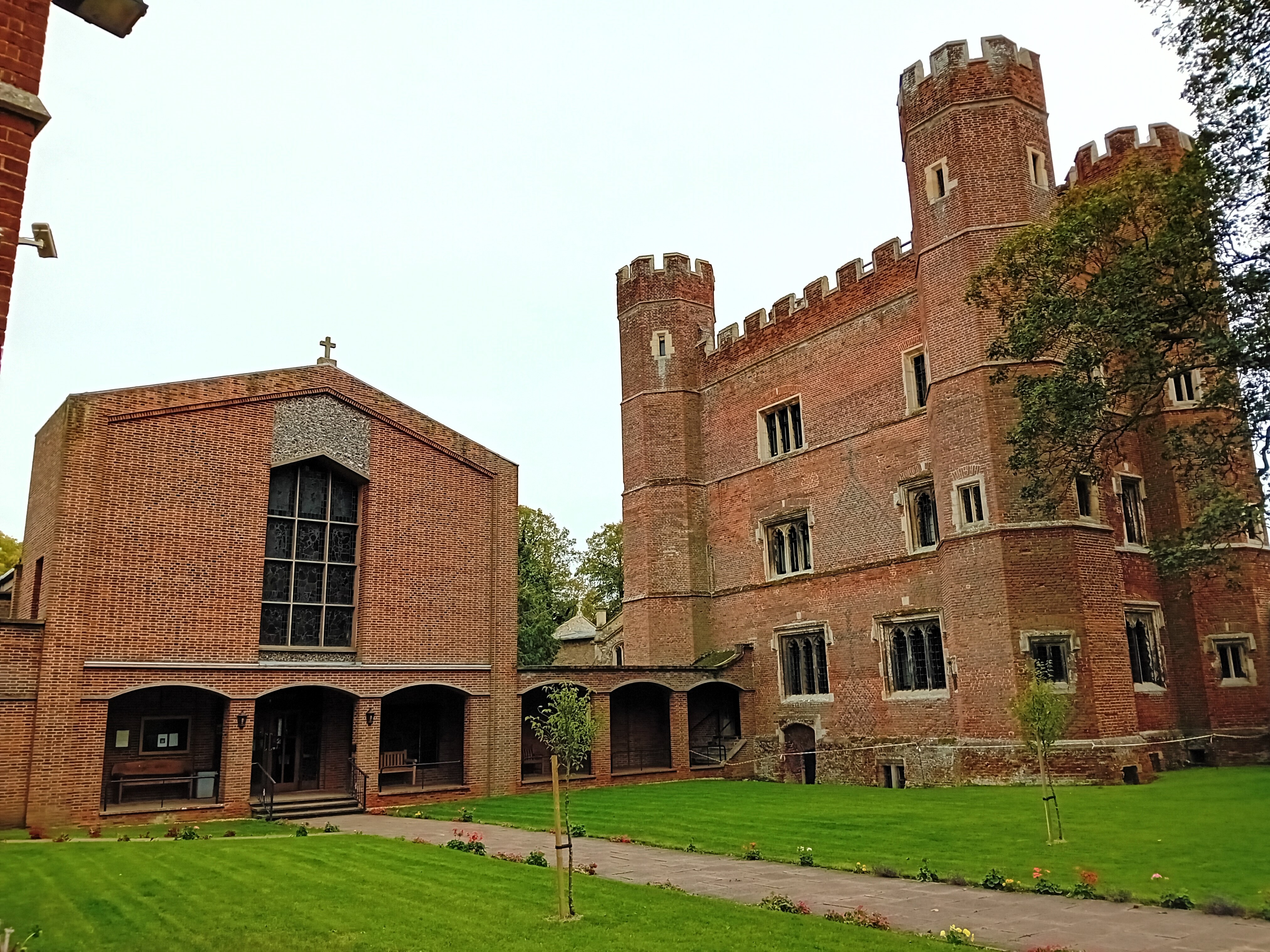
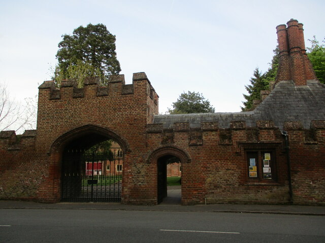
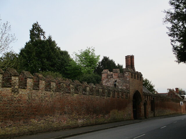
Buckden Towers
Buckden Towers, formerly known as Buckden Palace, is a medieval fortified house and bishop's palace in Buckden, Cambridgeshire, England. It is now a conference...

Buckden, Cambridgeshire
Buckden is a village and civil parish 3.7 miles (6.0 km) north of St Neots and 4 miles (6.4 km) south-west of Huntingdon, England. It includes the hamlets...
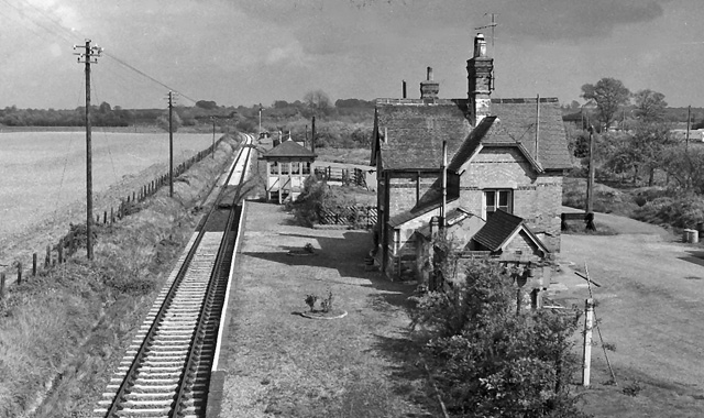
Buckden railway station
Buckden railway station was a railway station in Buckden, Cambridgeshire. The station and its line closed in year 1959. The signal box is now preserved...
Grafham, Cambridgeshire
Grafham is a village and civil parish in Cambridgeshire, England. Grafham lies approximately 5 miles (8 km) south-west of Huntingdon. Grafham is situated...

Offord and Buckden railway station
Offord and Buckden railway station was built by the Great Northern Railway to serve the twin villages of Offord Cluny and Offord D'Arcy in Cambridgeshire...
Brampton Wood
Brampton Wood is a 132.1-hectare (326-acre) biological Site of Special Scientific Interest in Cambridgeshire. The site is west of Brampton in Cambridgeshire...

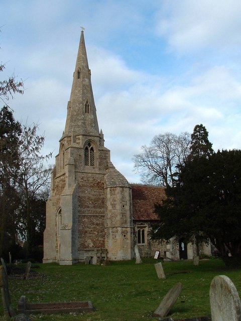
St Peter's Church, Offord D'Arcy
St Peter's Church is a redundant Anglican church in the village of Offord D'Arcy, Cambridgeshire, England. It is recorded in the National Heritage List...
RAF Brampton
RAF Brampton was a non-flying Royal Air Force installation near Huntingdon in Cambridgeshire, England. Formerly the home of RAF Support Command, it also...
Nearby Amenities
Located within 500m of 52.295201,-0.2519125Have you been to Little Park?
Leave your review of Little Park below (or comments, questions and feedback).