Lancing Fruit Gardens
Downs, Moorland in Sussex Adur
England
Lancing Fruit Gardens
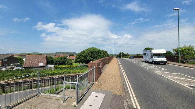
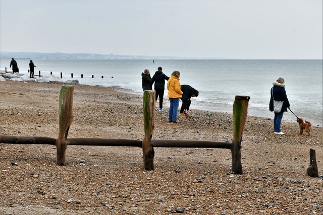
Lancing Fruit Gardens, situated in Sussex, England, is a picturesque and idyllic orchard spanning across the Sussex Downs and Moorland. Covering a vast area, the gardens are renowned for their lush greenery and bountiful fruit trees.
The gardens feature a diverse range of fruit trees, including apple, pear, plum, and cherry, with over 100 varieties of apples alone. Visitors are treated to a sensory experience as they wander through the beautifully manicured orchards, surrounded by the sweet aroma of ripening fruits.
The gardens are meticulously maintained by a team of skilled horticulturists, ensuring that the fruit trees are well-tended and produce high-quality yields. Lancing Fruit Gardens follows sustainable and environmentally friendly practices, such as organic pest control methods and minimal use of chemical fertilizers.
Visitors can enjoy a variety of activities at Lancing Fruit Gardens. The gardens offer seasonal fruit picking, allowing visitors to harvest their own fresh fruits directly from the trees. There are also guided tours available, providing insights into the history of the gardens and the cultivation techniques employed.
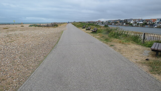
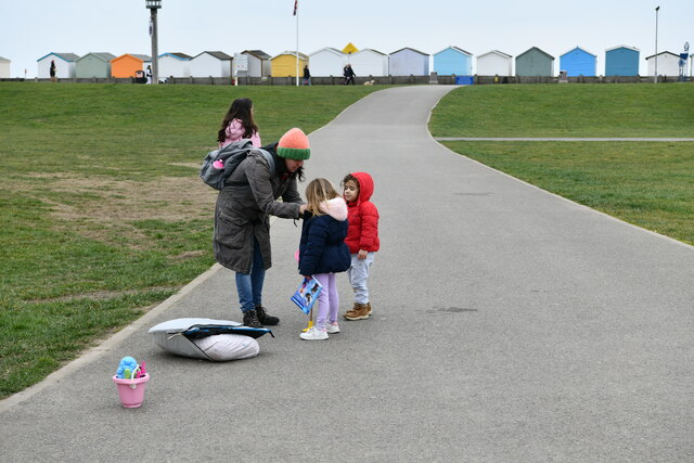
Aside from the fruit trees, the gardens boast stunning views of the surrounding Sussex Downs and Moorland. Visitors can take leisurely walks or find a peaceful spot to relax and take in the picturesque scenery.
Lancing Fruit Gardens is a popular destination for families, nature enthusiasts, and those seeking an escape from the hustle and bustle of daily life. With its natural beauty and abundance of fruits, it offers a serene and enjoyable experience for all who visit.
If you have any feedback on the listing, please let us know in the comments section below.
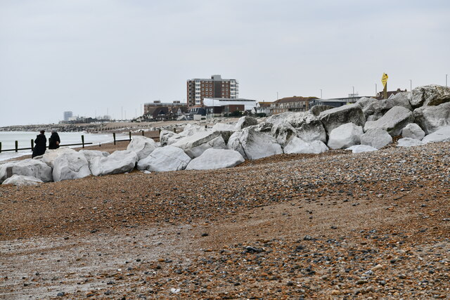
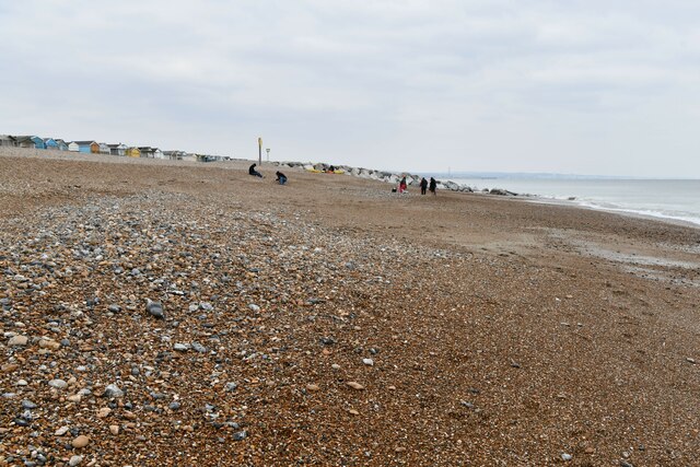
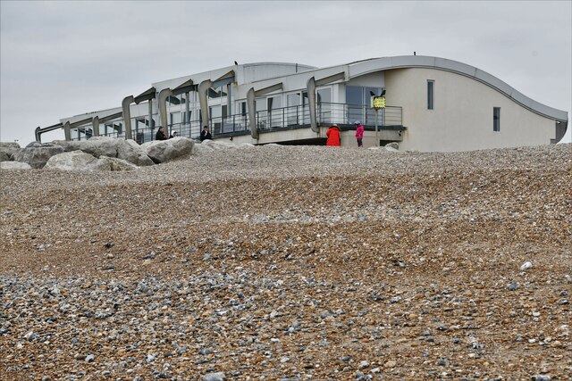
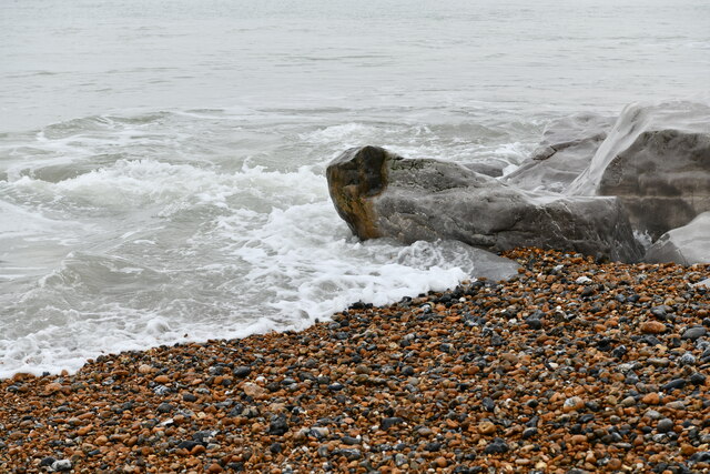
Lancing Fruit Gardens Images
Images are sourced within 2km of 50.828177/-0.31111394 or Grid Reference TQ1904. Thanks to Geograph Open Source API. All images are credited.

Lancing Fruit Gardens is located at Grid Ref: TQ1904 (Lat: 50.828177, Lng: -0.31111394)
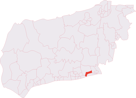
Administrative County: West Sussex
District: Adur
Police Authority: Sussex
What 3 Words
///dinner.teams.thinks. Near Lancing, West Sussex
Nearby Locations
Related Wikis
Lancing (electoral division)
Lancing is an electoral division of West Sussex in the United Kingdom, and returns one member to sit on West Sussex County Council. == Extent == The division...

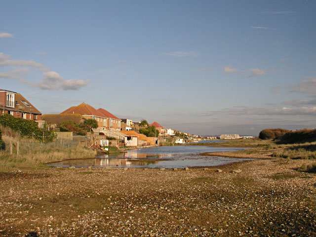
Lancing, West Sussex
Lancing is a large coastal village and civil parish in the Adur district of West Sussex, England, on the western edge of the Adur Valley. It occupies part...

Lancing railway station
Lancing railway station is in Lancing in the county of West Sussex, England. It is 8 miles 19 chains (13.3 km) down the line from Brighton. The station...

Montpelier Villa F.C.
Montpelier Villa F.C. is an English football club located in Falmer, Brighton in East Sussex. The club are currently members of the Southern Combination...
Lancing F.C.
Lancing Football Club is a football club based in Lancing, West Sussex, England. They are members of the Isthmian League South East Division and play at...
Widewater Lagoon
Widewater Lagoon is a 8.8-hectare (22-acre) Local Nature Reserve in Lancing in West Sussex. It is owned by West Sussex County Council and managed by Lancing...
Bungalow Town Halt railway station
Bungalow Town Halt was a small railway station in what is now Shoreham Beach, West Sussex. Bungalow Town had started in the 1870s as a series of converted...

East Worthing and Shoreham (UK Parliament constituency)
East Worthing and Shoreham is a constituency represented in the House of Commons of the UK Parliament since 1997 by Tim Loughton of the Conservative Party...
Nearby Amenities
Located within 500m of 50.828177,-0.31111394Have you been to Lancing Fruit Gardens?
Leave your review of Lancing Fruit Gardens below (or comments, questions and feedback).