South Field
Downs, Moorland in Yorkshire
England
South Field

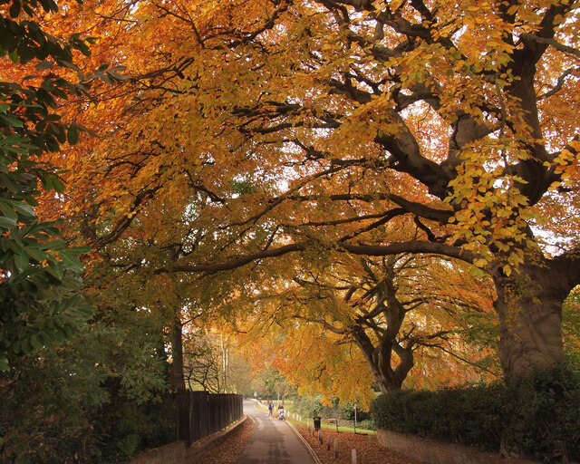
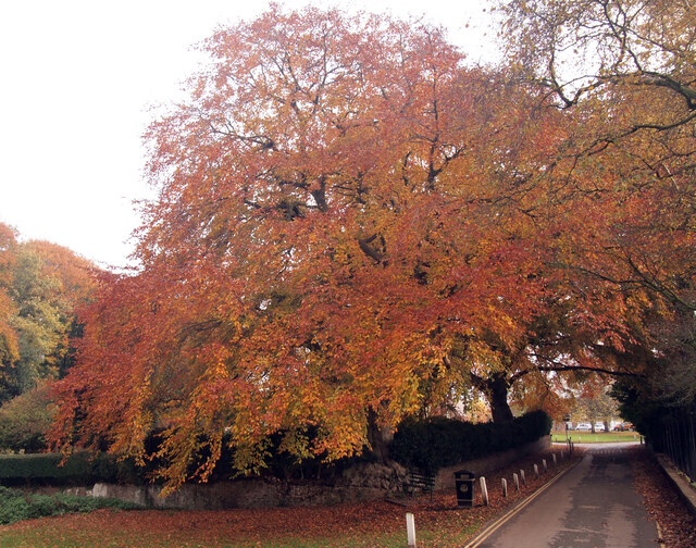
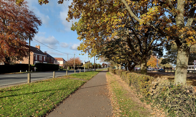
South Field is a picturesque region located in the county of Yorkshire in northern England. Situated amidst the vast expanse of the Yorkshire Downs and Moorland, it offers a unique blend of natural beauty and serene surroundings. The area is known for its rolling hills, lush green meadows, and breathtaking landscapes that are a treat for nature enthusiasts and outdoor adventurers.
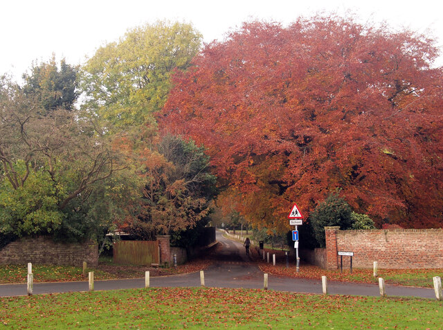
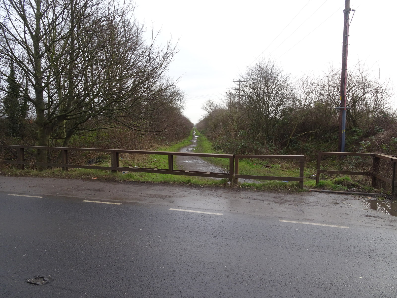
The Yorkshire Downs, with their undulating hills and expansive views, form a significant part of South Field's charm. Here, visitors can embark on scenic hikes, bike rides, or even horseback rides, exploring the region's diverse flora and fauna. The moorlands, on the other hand, provide a rugged and wild aspect to the area, with heather-covered hillsides and sweeping vistas that stretch as far as the eye can see.
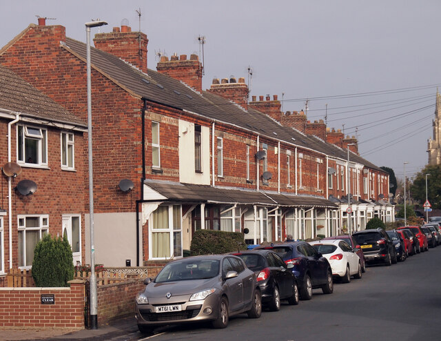
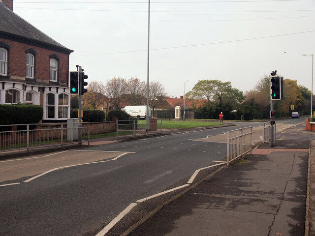
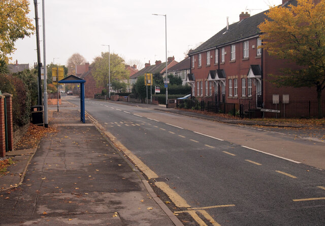
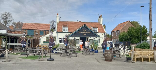
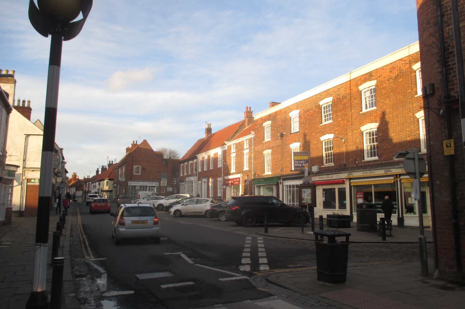
South Field is also home to several charming villages and towns, each with its own distinct character. These settlements offer visitors a glimpse into the region's rich history and traditional way of life. Quaint cottages, historic churches, and traditional pubs dot the landscape, providing a warm and welcoming atmosphere.
The region also boasts a range of outdoor activities, including fishing in the numerous rivers and lakes, birdwatching in the nature reserves, and golfing on the well-maintained courses. For those seeking a more leisurely experience, there are plenty of tea rooms, farm shops, and local markets to explore, offering fresh produce and locally-made goods.
In summary, South Field in Yorkshire is a breathtaking destination that captures the essence of rural England. With its stunning landscapes, charming villages, and abundance of outdoor activities, it offers a truly immersive experience for visitors seeking an authentic taste of Yorkshire's natural beauty.
If you have any feedback on the listing, please let us know in the comments section below.
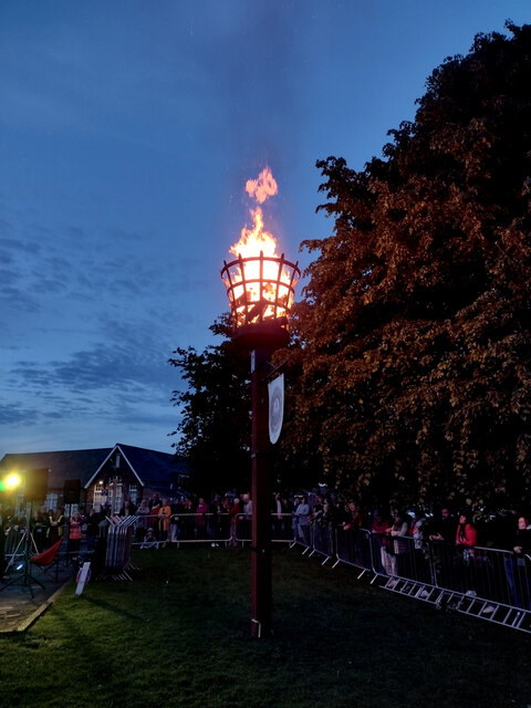
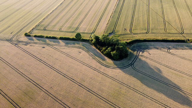
South Field Images
Images are sourced within 2km of 53.749451/-0.19602255 or Grid Reference TA1929. Thanks to Geograph Open Source API. All images are credited.


South Field is located at Grid Ref: TA1929 (Lat: 53.749451, Lng: -0.19602255)
Division: East Riding
Unitary Authority: East Riding of Yorkshire
Police Authority: Humberside
What 3 Words
///valuables.primed.evoke. Near Preston, East Yorkshire
Nearby Locations
Related Wikis
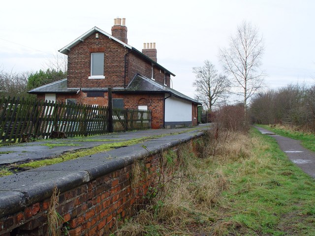
Hedon railway station
Hedon railway station is a disused railway station on the North Eastern Railway's Hull and Holderness Railway on the northern edge of Hedon in the East...

Preston, East Riding of Yorkshire
Preston is a village and civil parish in the East Riding of Yorkshire, England, in an area known as Holderness. It is situated approximately 6 miles...
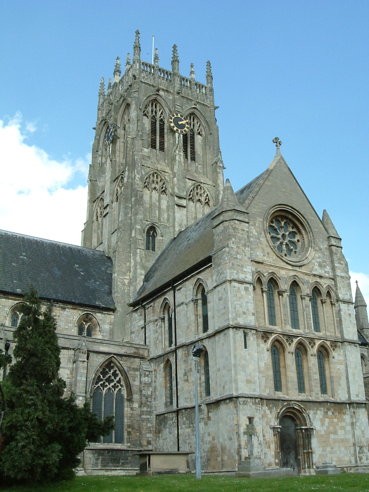
St Augustine's Church, Hedon
St Augustine's Church is a Church of England parish church located in Hedon, East Riding of Yorkshire, England. The church is a Grade I listed building...

Hedon Town Hall
Hedon Town Hall is a municipal building in St Augustine's Gate, Hedon, East Riding of Yorkshire, England. The building, which is the meeting place of Hedon...
Hedon
Hedon is a town and civil parish in Holderness in the East Riding of Yorkshire, England. It is situated approximately 5 miles (8 km) east of Hull city...
Hedon Racecourse railway station
Hedon Racecourse railway station is a disused railway station on the North Eastern Railway's Hull and Holderness Railway to the west of Hedon in the East...

Hedon Aerodrome
Hedon Aerodrome (also known as Royal Air Force Hedon and Royal Air Force Hull), was an airfield located 6 miles (9.7 km) east of Kingston upon Hull in...

Salt End
Salt End or Saltend is a hamlet in the East Riding of Yorkshire, England, in an area known as Holderness. It is situated on the north bank of the Humber...
Nearby Amenities
Located within 500m of 53.749451,-0.19602255Have you been to South Field?
Leave your review of South Field below (or comments, questions and feedback).