Darby Bushes Park

Downs, Moorland in Huntingdonshire Huntingdonshire

England

Darby Bushes Park

Woodland north of Conington
Woodland north of Conington Credit: Jonathan Thacker

Darby Bushes Park is a picturesque public park located in Huntingdonshire, England. Situated in the beautiful countryside, the park is surrounded by rolling hills, expansive downs, and sprawling moorland. It spans approximately 100 acres, offering visitors a vast expanse of natural beauty to explore and enjoy.

The park boasts a diverse range of flora and fauna, making it a haven for nature enthusiasts. Lush grasslands, wildflowers, and ancient woodlands provide a rich habitat for a variety of plant and animal species. Visitors can spot native birds, butterflies, and small mammals while strolling along the park's numerous walking trails.

For those seeking recreational activities, Darby Bushes Park has something to offer for everyone. The park features well-maintained sports fields, perfect for a game of football or cricket with friends and family. There are also designated picnic areas with benches and tables, providing a great spot for a leisurely outdoor lunch.

Children will delight in the park's well-equipped playground, complete with swings, slides, and climbing frames. Additionally, the park offers a mini-golf course and a fishing lake, providing further entertainment options for visitors of all ages.

Darby Bushes Park is managed and maintained by the local council, ensuring its cleanliness and safety for all visitors. The park offers ample parking facilities and is easily accessible by public transportation.

Overall, Darby Bushes Park is a scenic and well-appointed public space, providing a serene and enjoyable environment for nature lovers, sports enthusiasts, and families alike.

If you have any feedback on the listing, please let us know in the comments section below.

Darby Bushes Park Images

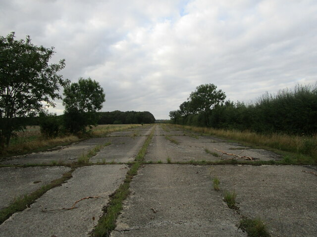
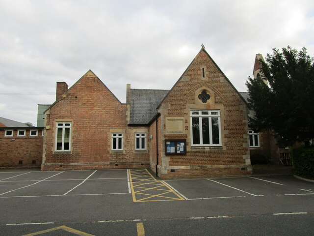
Images are sourced within 2km of 52.47694/-0.26841041 or Grid Reference TL1787. Thanks to Geograph Open Source API. All images are credited.

Woodland north of Conington
Former taxiway, RAF Glatton RAF Glatton opened as a USAF base in 1943. It closed in 1948 <span class="nowrap"><a title="https://en.wikipedia.org/wiki/RAF_Glatton" rel="nofollow ugc noopener" href="https://en.wikipedia.org/wiki/RAF_Glatton">Link</a><img style="margin-left:2px;" alt="External link" title="External link - shift click to open in new window" src="https://s1.geograph.org.uk/img/external.png" width="10" height="10"/></span>
Despite its short life it has had a major impact on the surroundings of Conington with many roads clearly having originally been part of the base. Concrete beneath the tarmac is the giveaway.
Former taxiway, RAF Glatton
RAF Glatton opened as a USAF base in 1943. It closed in 1948 LinkExternal link Despite its short life it has had a major impact on the surroundings of Conington with many roads clearly having originally been part of the base. Concrete beneath the tarmac is the giveaway.
Church Street, Holme
Tree lined track off Glatton Lane Not a public right of way.
Tree lined track off Glatton Lane
Not a public right of way.
Horses and sheep, Conington
Track towards Moor Close Spinney, Conington
Track and Moor Close Spinney, Conington
Cut through a wheat field, Conington
Stubble field at Holme The buildings of Peterborough Business Airport in the distance.
Stubble field at Holme
The buildings of Peterborough Business Airport in the distance.
Holme Church of England Primary School
St Giles' church, Holme Designed in 1862 by Edward Browning <span class="nowrap"><a title="https://en.wikipedia.org/wiki/Edward_Browning" rel="nofollow ugc noopener" href="https://en.wikipedia.org/wiki/Edward_Browning">Link</a><img style="margin-left:2px;" alt="External link" title="External link - shift click to open in new window" src="https://s1.geograph.org.uk/img/external.png" width="10" height="10"/></span> partly using old materials <span class="nowrap"><a title="https://historicengland.org.uk/listing/the-list/list-entry/1215533?section=official-list-entry" rel="nofollow ugc noopener" href="https://historicengland.org.uk/listing/the-list/list-entry/1215533?section=official-list-entry">Link</a><img style="margin-left:2px;" alt="External link" title="External link - shift click to open in new window" src="https://s1.geograph.org.uk/img/external.png" width="10" height="10"/></span>
St Giles' church, Holme
Designed in 1862 by Edward Browning LinkExternal link partly using old materials LinkExternal link
Roadside trees, Glatton Lane
A1(M) southbound, south of Stilton The A1 is the longest numbered road in the UK at 410 miles long. It connects London with Edinburgh, via the east of England. 
For much of its path it follows the Great North Road the old coaching route between London and Edinburgh. Several sections of the route are classified as motorway A1(M). The modern A1 bypasses the towns the Great North Road passed through and is dual carriageway for most of its route through England.
A1(M) southbound, south of Stilton
The A1 is the longest numbered road in the UK at 410 miles long. It connects London with Edinburgh, via the east of England. For much of its path it follows the Great North Road the old coaching route between London and Edinburgh. Several sections of the route are classified as motorway A1(M). The modern A1 bypasses the towns the Great North Road passed through and is dual carriageway for most of its route through England.
Peterborough Business Airport
Glatton Ways Bridge, A1(M) The A1 is the longest numbered road in the UK at 410 miles long. It connects London with Edinburgh, via the east of England. 
For much of its path it follows the Great North Road the old coaching route between London and Edinburgh. Several sections of the route are classified as motorway A1(M). The modern A1 bypasses the towns the Great North Road passed through and is dual carriageway for most of its route through England.
Glatton Ways Bridge, A1(M)
The A1 is the longest numbered road in the UK at 410 miles long. It connects London with Edinburgh, via the east of England. For much of its path it follows the Great North Road the old coaching route between London and Edinburgh. Several sections of the route are classified as motorway A1(M). The modern A1 bypasses the towns the Great North Road passed through and is dual carriageway for most of its route through England.
A1(M), northbound The A1 is the longest numbered road in the UK at 410 miles long. It connects London with Edinburgh, via the east of England. 
For much of its path it follows the Great North Road the old coaching route between London and Edinburgh. Several sections of the route are classified as motorway A1(M). The modern A1 bypasses the towns the Great North Road passed through and is dual carriageway for most of its route through England.
A1(M), northbound
The A1 is the longest numbered road in the UK at 410 miles long. It connects London with Edinburgh, via the east of England. For much of its path it follows the Great North Road the old coaching route between London and Edinburgh. Several sections of the route are classified as motorway A1(M). The modern A1 bypasses the towns the Great North Road passed through and is dual carriageway for most of its route through England.
A1(M) - 1 mile to J16 The A1 is the longest numbered road in the UK at 410 miles long. It connects London with Edinburgh, via the east of England. 
For much of its path it follows the Great North Road the old coaching route between London and Edinburgh. Several sections of the route are classified as motorway A1(M). The modern A1 bypasses the towns the Great North Road passed through and is dual carriageway for most of its route through England.
A1(M) - 1 mile to J16
The A1 is the longest numbered road in the UK at 410 miles long. It connects London with Edinburgh, via the east of England. For much of its path it follows the Great North Road the old coaching route between London and Edinburgh. Several sections of the route are classified as motorway A1(M). The modern A1 bypasses the towns the Great North Road passed through and is dual carriageway for most of its route through England.
Fen Lane from the corner with the old A1
Show me another place!

Darby Bushes Park is located at Grid Ref: TL1787 (Lat: 52.47694, Lng: -0.26841041)

Administrative County: Cambridgeshire

District: Huntingdonshire

Police Authority: Cambridgeshire

What 3 Words

///income.airtime.otherwise. Near Stilton, Cambridgeshire

Related Wikis

Holme, Cambridgeshire

Holme is a village and civil parish in Cambridgeshire, England. Holme lies approximately 7 miles (11 km) south of Peterborough, near Conington and Yaxley...

Peterborough Business Airport

Peterborough Business Airport (ICAO: EGSF) is a privately owned airfield in the English county of Cambridgeshire near the villages of Holme and Conington...

RAF Glatton

Royal Air Force Glatton or more simply RAF Glatton is a former Royal Air Force station located 10 miles (16 km) north of Huntingdon, Cambridgeshire, England...

Battle of the Holme

The Battle of the Holme took place in East Anglia on 13 December 902 where the Anglo-Saxon men of Wessex and Kent fought against the Danelaw and East Anglian...

Have you been to Darby Bushes Park?

Leave your review of Darby Bushes Park below (or comments, questions and feedback).