Gustardwood Common

Downs, Moorland in Hertfordshire St. Albans

England

Gustardwood Common

Roundabout on Lamer Lane, Wheathampstead Looking towards Lower Luton Road
Roundabout on Lamer Lane, Wheathampstead Credit: David Howard

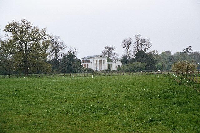
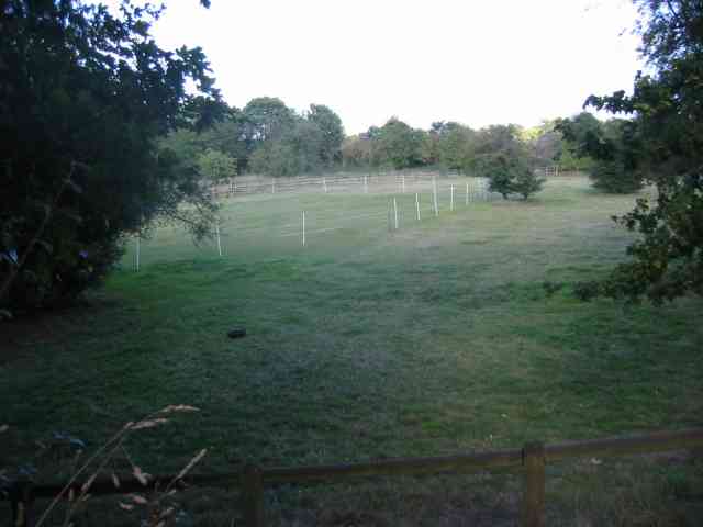
Gustardwood Common, located in Hertfordshire, is a diverse and picturesque area known for its stunning downs and moorland landscapes. Covering an area of approximately 200 hectares, the common is situated near the village of Wheathampstead and provides a tranquil escape for visitors.

The common is characterized by its rolling hills, offering panoramic views of the surrounding countryside. The downs showcase a patchwork of grasslands, interspersed with vibrant wildflowers during the warmer months. These grasslands are home to a variety of flora and fauna, including rare species such as the pasqueflower and the chalkhill blue butterfly.

Adjacent to the downs, the moorland area of Gustardwood Common presents a different habitat. Here, visitors can explore heather-covered expanses, dotted with gorse bushes and scattered trees. This area attracts a range of bird species, including stonechats, skylarks, and meadow pipits. Additionally, the moorland is home to small mammals like voles and shrews, as well as reptiles such as common lizards and slow worms.

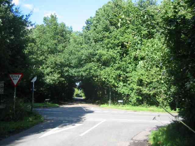
Gustardwood Common is popular among nature enthusiasts, walkers, and photographers who appreciate the natural beauty of the landscape. The common offers a network of footpaths and bridleways, allowing visitors to explore the area at their own pace. Information boards and guided walks are available, providing educational opportunities to learn about the local flora and fauna.

Managed by the Hertfordshire County Council, Gustardwood Common is a cherished natural asset, providing both recreational and ecological benefits for residents and visitors alike.

If you have any feedback on the listing, please let us know in the comments section below.

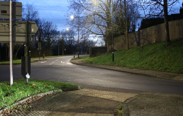
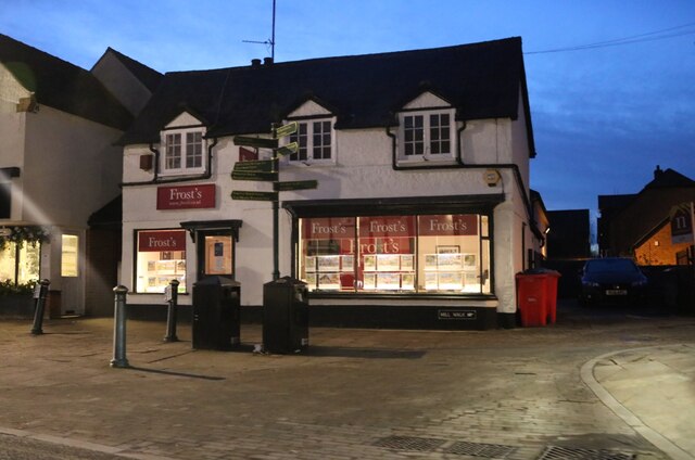
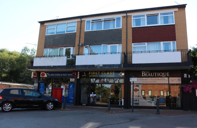
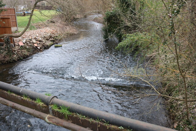
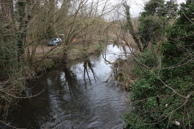
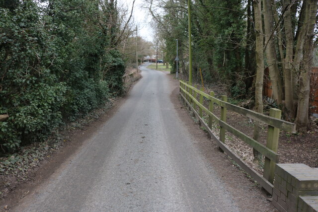
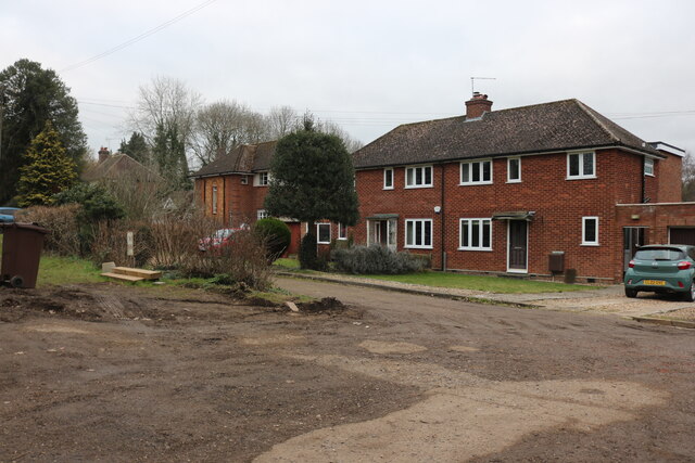
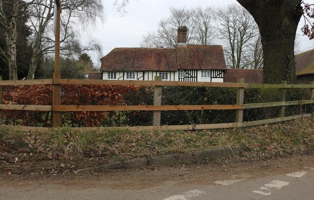
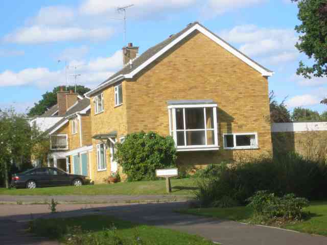
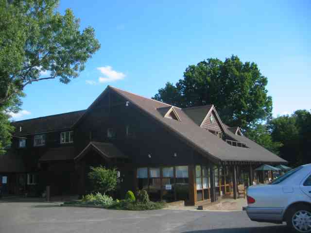
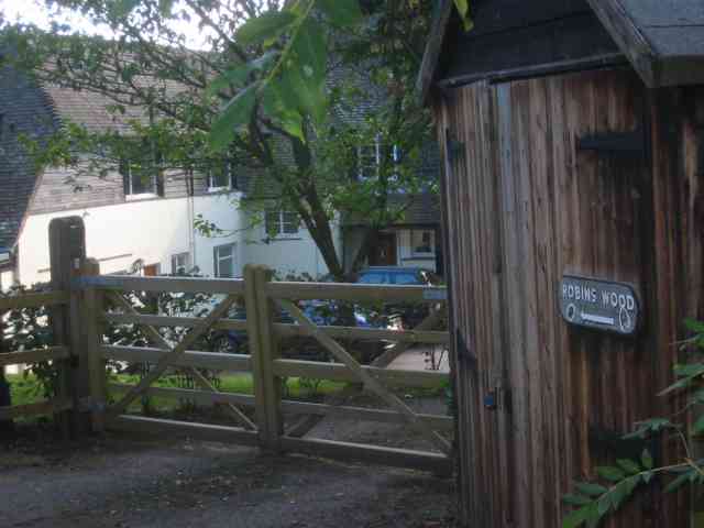
Gustardwood Common Images

Images are sourced within 2km of 51.829979/-0.29816715 or Grid Reference TL1715. Thanks to Geograph Open Source API. All images are credited.

Roundabout on Lamer Lane, Wheathampstead Looking towards Lower Luton Road
Roundabout on Lamer Lane, Wheathampstead
Looking towards Lower Luton Road
Frost's estate agents, Wheathampstead All the Frost's I've seen have been in Surrey, I didn't know they were up here as well.
Frost's estate agents, Wheathampstead
All the Frost's I've seen have been in Surrey, I didn't know they were up here as well.
Shops on Station Road, Wheathampstead
The River Lea, Wheathampstead From Leasey Bridge
The River Lea, Wheathampstead
From Leasey Bridge
The River Lea, Wheathampstead From Leasey Bridge
The River Lea, Wheathampstead
From Leasey Bridge
Cherry Tree Lane, Wheathampstead
Houses on Marshalls Heath Lane
Farmhouse at Old Raisins Farm, Porter's End
New Church, Ayot St Lawrence Built to replace the partially demolished old Church.  View taken across the field from near the old Church.
New Church, Ayot St Lawrence
Built to replace the partially demolished old Church. View taken across the field from near the old Church.
Cross Roads at  Gustard Wood I am standing in "The Slype"  whatever that is
Cross Roads at Gustard Wood
I am standing in "The Slype" whatever that is
Houses at a cross roads on the Slype Sun was beginning to sink and so the rays were picked up
Houses at a cross roads on the Slype
Sun was beginning to sink and so the rays were picked up
House in the Broadway Gustard Wood The split personality extension intrigued me
House in the Broadway Gustard Wood
The split personality extension intrigued me
More Houses in The Broadway Gustard Wood Taken to give bulk to the entry
More Houses in The Broadway Gustard Wood
Taken to give bulk to the entry
Clubhouse at Gustard Wood golf course This has a friendly feel to it
Clubhouse at Gustard Wood golf course
This has a friendly feel to it
Paddock for Horses in Rose Lane Or is it a cricket pitch ???
Paddock for Horses in Rose Lane
Or is it a cricket pitch ???
House called Robins Wood in Rose Lane Wheathampstead The houses in this road are well spaced and exclusive.
House called Robins Wood in Rose Lane Wheathampstead
The houses in this road are well spaced and exclusive.
A barn at Mackerye End It looks as if it is now  a house
A barn at Mackerye End
It looks as if it is now a house
Farmhouse at Mackerye End The barn is over to the right of the photograph and this farmhouse is a bit grand
Farmhouse at Mackerye End
The barn is over to the right of the photograph and this farmhouse is a bit grand
Show me another place!

Gustardwood Common is located at Grid Ref: TL1715 (Lat: 51.829979, Lng: -0.29816715)

Administrative County: Hertfordshire

District: St. Albans

Police Authority: Hertfordshire

What 3 Words

///spared.courier.list. Near Wheathampstead, Hertfordshire

Related Wikis

Marshalls Heath

Marshalls Heath is a hamlet and a 4-hectare (10-acre) Local Nature Reserve in Wheathampstead parish, Hertfordshire, England. The nature reserve is owned...

Wheathampstead railway station

Wheathampstead railway station was a railway station serving Wheathampstead on the Great Northern Railway branch line to Dunstable. While little of it...

St Helen's Church, Wheathampstead

St Helen's Church is the oldest church in Wheathampstead, Hertfordshire, England, although the date of its origins is unknown. The wooden Anglo-Saxon structure...

New St Lawrence Church, Ayot St Lawrence

St Lawrence Church is an eighteenth-century, neoclassical church in Ayot St Lawrence, Hertfordshire, England. It is also known as New St Lawrence Church...

Wheathampstead

Wheathampstead is a village and civil parish in Hertfordshire, England, north of St Albans. The population of the ward at the 2001 census was 6,058. Included...

Ayot St Lawrence

Ayot St Lawrence is a small English village and civil parish in Hertfordshire, two miles (three kilometres) west of Welwyn. There are several other Ayots...

Shaw's Corner

Shaw's Corner was the primary residence of the renowned Irish playwright George Bernard Shaw; it is now a National Trust property open to the public as...

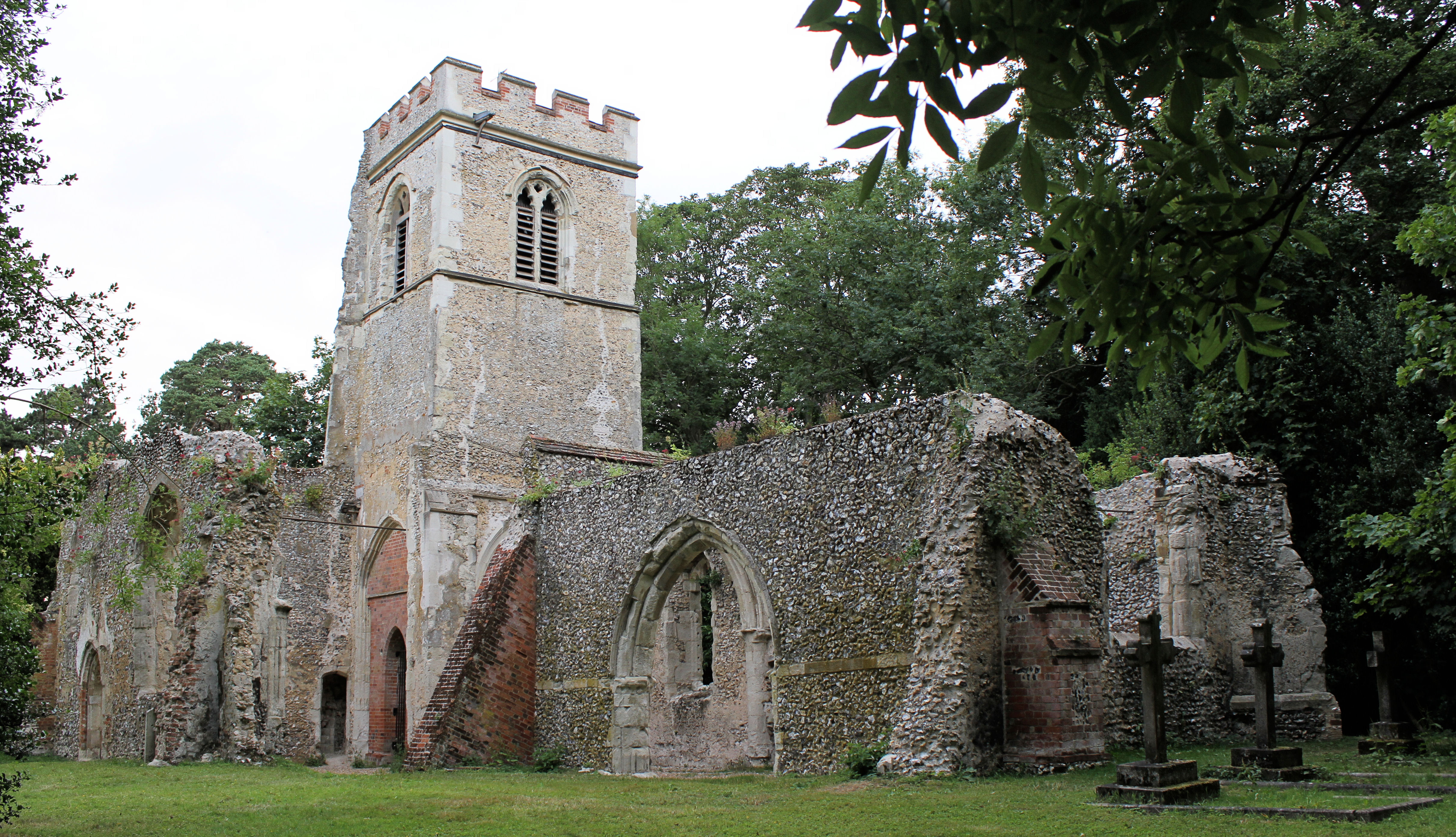
Old St Lawrence Church, Ayot St Lawrence

Old St Lawrence Church is a ruined building in Ayot St Lawrence, Hertfordshire, England. It is protected as a Grade II* listed building, and dates back...

Nearby Amenities

Located within 500m of 51.829979,-0.29816715
Ele: 111.6380615
Lat/Long: 51.8292881/-0.3016212
Bus Stop
The Slype
Bus: yes
Naptan AtcoCode: 210021501460
Naptan Bearing: SE
Naptan CommonName: The Slype
Naptan Crossing: opp The Slype
Naptan Indicator: opp
Naptan Landmark: opp The Slype
Naptan NaptanCode: hrtdagta
Naptan PlusbusZoneRef: HRPNDN;STALBCY
Naptan ShortCommonName: NA
Naptan Street: Lamer Lane
Naptan Verified: no
Public Transport: platform
Source: naptan_import
Lat/Long: 51.832941/-0.2979384
Bus Stop
Lamer Park
Bus: yes
Local Ref: NR
Naptan AtcoCode: 210021501480
Naptan Bearing: SE
Naptan CommonName: Lamer Park
Naptan Crossing: opp Golf Course
Naptan Indicator: nr
Naptan Landmark: opp Golf Course
Naptan NaptanCode: hrtdagtd
Naptan PlusbusZoneRef: HRPNDN;STALBCY
Naptan ShortCommonName: NA
Naptan Street: Lamer Lane
Naptan Verified: no
Public Transport: platform
Source: naptan_import
Lat/Long: 51.8278412/-0.2941253
Bus Stop
Lamer Park
Bus: yes
Naptan AtcoCode: 210021510290
Naptan Bearing: NW
Naptan CommonName: Lamer Park
Naptan Crossing: Golf Course
Naptan Indicator: opp
Naptan Landmark: Golf Course
Naptan NaptanCode: hrtatmat
Naptan PlusbusZoneRef: HRPNDN;STALBCY
Naptan ShortCommonName: NA
Naptan Street: Lamer Lane
Naptan Verified: no
Public Transport: platform
Source: naptan_import
Lat/Long: 51.8278227/-0.2942661
Bus Stop
The Slype
Bus: yes
Local Ref: NR
Naptan AtcoCode: 210021510300
Naptan Bearing: NW
Naptan CommonName: The Slype
Naptan Crossing: The Slype
Naptan Indicator: nr
Naptan Landmark: The Slype
Naptan NaptanCode: hrtatmaw
Naptan PlusbusZoneRef: HRPNDN;STALBCY
Naptan ShortCommonName: NA
Naptan Street: Kimpton Road
Naptan Verified: no
Public Transport: platform
Source: naptan_import
Lat/Long: 51.8332071/-0.2983058
Post Box
Post Box Type: wall
Ref: AL4 12D
Royal Cypher: VR
Royal Cypher Wikidata: Q33102356
Lat/Long: 51.8274292/-0.2940069
Post Box
Post Box Type: lamp
Ref: AL4 95D
Royal Cypher: EIIR
Royal Cypher Wikidata: Q33102113
Lat/Long: 51.832778/-0.2978971
Astridge Farm
Landuse: farmland
Source: OS_OpenData_StreetView
Lat/Long: 51.8330283/-0.292925
Bench
Backrest: yes
Colour: brown
Material: wood
Seats: 3
Lat/Long: 51.8339361/-0.2974747
Gustardwood
Place: hamlet
Lat/Long: 51.8284614/-0.2940463
Direction: 105
Generator Method: photovoltaic
Generator Output Electricity: yes
Generator Solar Modules: 18
Generator Source: solar
Generator Type: solar_photovoltaic_panel
Location: roof
Power: generator
Lat/Long: 51.8271637/-0.2950293
Direction: 105
Generator Method: photovoltaic
Generator Output Electricity: yes
Generator Solar Modules: 6
Generator Source: solar
Generator Type: solar_photovoltaic_panel
Location: roof
Power: generator
Lat/Long: 51.8271343/-0.2948459
Direction: 195
Generator Method: photovoltaic
Generator Output Electricity: yes
Generator Solar Modules: 14
Generator Source: solar
Generator Type: solar_photovoltaic_panel
Location: roof
Power: generator
Lat/Long: 51.8270796/-0.2947238
Direction: 185
Generator Method: photovoltaic
Generator Output Electricity: yes
Generator Solar Modules: 8
Generator Source: solar
Generator Type: solar_photovoltaic_panel
Location: roof
Power: generator
Lat/Long: 51.8328945/-0.302405
Direction: 185
Generator Method: photovoltaic
Generator Output Electricity: yes
Generator Solar Modules: 2
Generator Source: solar
Generator Type: solar_photovoltaic_panel
Location: roof
Power: generator
Lat/Long: 51.8329135/-0.3025766
Direction: 95
Generator Method: photovoltaic
Generator Output Electricity: yes
Generator Solar Modules: 6
Generator Source: solar
Generator Type: solar_photovoltaic_panel
Location: roof
Power: generator
Lat/Long: 51.8329034/-0.3025329
Direction: 275
Generator Method: photovoltaic
Generator Output Electricity: yes
Generator Solar Modules: 10
Generator Source: solar
Generator Type: solar_photovoltaic_panel
Location: roof
Power: generator
Lat/Long: 51.8329178/-0.3026243
Direction: 185
Generator Method: photovoltaic
Generator Output Electricity: yes
Generator Solar Modules: 13
Generator Source: solar
Generator Type: solar_photovoltaic_panel
Location: roof
Power: generator
Lat/Long: 51.8320769/-0.3022897
Direction: 185
Generator Method: photovoltaic
Generator Output Electricity: yes
Generator Solar Modules: 18
Generator Source: solar
Generator Type: solar_photovoltaic_panel
Location: roof
Power: generator
Lat/Long: 51.8320335/-0.3016582
Direction: backward
Traffic Calming: chicane
Lat/Long: 51.8271597/-0.2935867
Leisure: picnic_table
Source: GPS, observation
Lat/Long: 51.8307346/-0.2952871
The data included in this document is from www.openstreetmap.org. The data is made available under ODbL.

Have you been to Gustardwood Common?

Leave your review of Gustardwood Common below (or comments, questions and feedback).