Hillgate Spring

Wood, Forest in Hertfordshire St. Albans

England

Hillgate Spring

Roundabout on Lamer Lane, Wheathampstead Looking towards Lower Luton Road
Roundabout on Lamer Lane, Wheathampstead Credit: David Howard

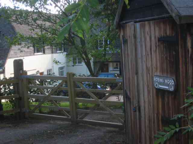
Hillgate Spring is a picturesque woodland situated in the county of Hertfordshire, England. Located near the village of Hillgate, it is a renowned natural attraction that draws visitors from near and far.

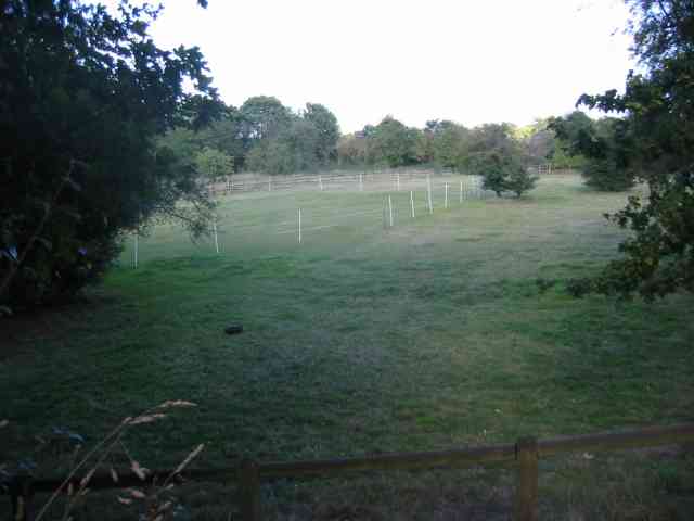
Covering an area of approximately 50 acres, Hillgate Spring is a diverse and thriving forest. The woodland is home to a wide variety of tree species, including oak, beech, birch, and pine, creating a lush and vibrant landscape. The dense canopy provides ample shade during the summer months, making it an ideal spot for picnics and leisurely walks.

At the heart of Hillgate Spring lies a natural spring, which has been a source of freshwater for centuries. The crystal-clear water flows gently through the forest, creating a soothing soundtrack as it meanders its way through the trees. The spring attracts a rich array of wildlife, including birds, butterflies, and small mammals, making it a haven for nature enthusiasts.

Hillgate Spring offers numerous walking trails, allowing visitors to explore the woodland and appreciate its natural beauty. The well-maintained paths wind their way through the forest, offering stunning views of the surrounding countryside. Along the way, visitors may encounter ancient stone ruins and remnants of historical settlements, adding a touch of mystery and intrigue to the experience.

With its tranquil atmosphere and natural beauty, Hillgate Spring is a popular destination for those seeking solace in nature. Whether it's for a leisurely stroll, a family day out, or simply a moment of peace, this enchanting woodland offers a rejuvenating escape from the hustle and bustle of everyday life.

If you have any feedback on the listing, please let us know in the comments section below.

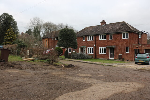
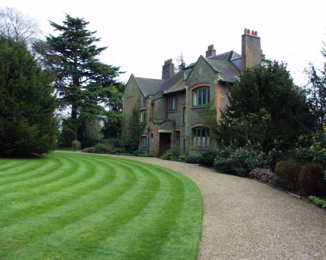
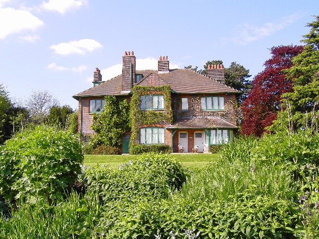
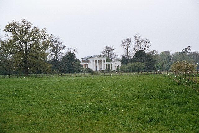
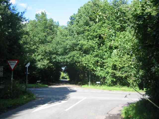
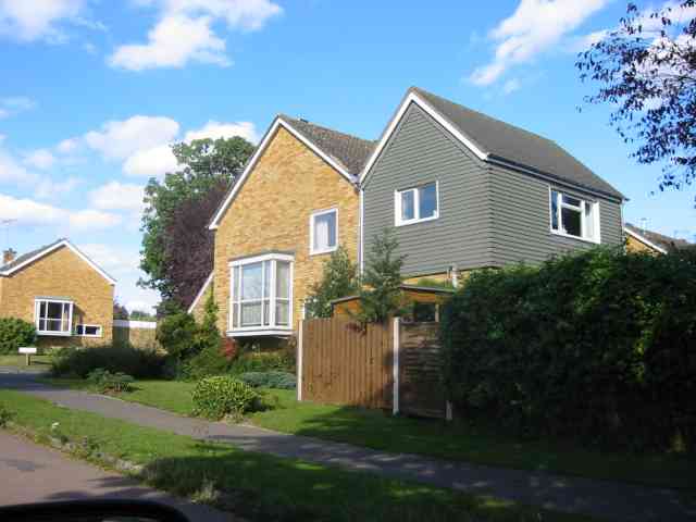
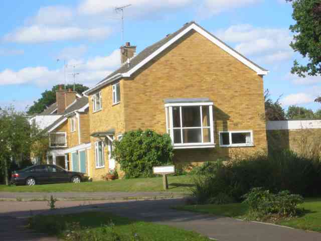
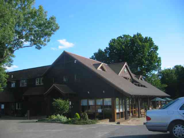
Hillgate Spring Images

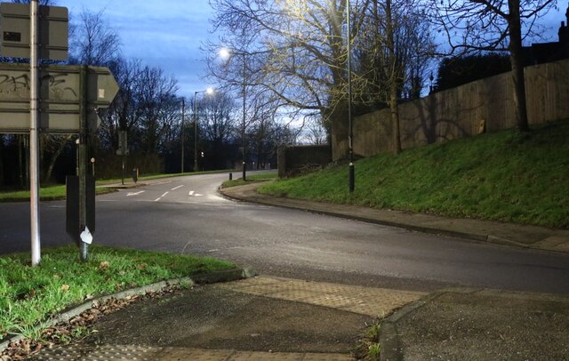
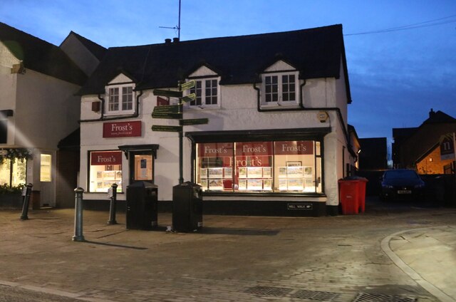
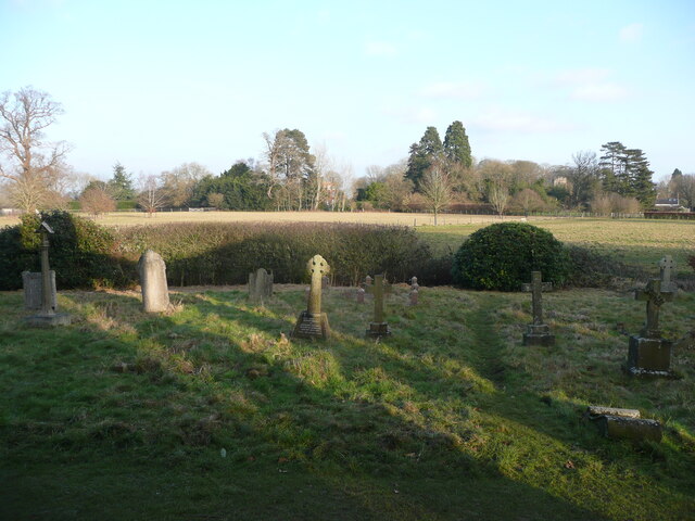
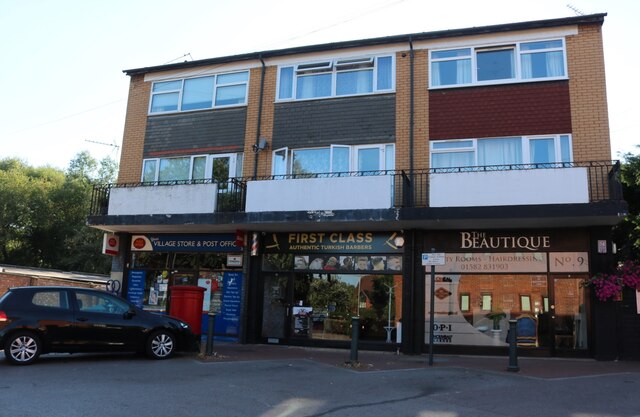
Images are sourced within 2km of 51.829973/-0.2903015 or Grid Reference TL1715. Thanks to Geograph Open Source API. All images are credited.

Roundabout on Lamer Lane, Wheathampstead Looking towards Lower Luton Road
Roundabout on Lamer Lane, Wheathampstead
Looking towards Lower Luton Road
Frost's estate agents, Wheathampstead All the Frost's I've seen have been in Surrey, I didn't know they were up here as well.
Frost's estate agents, Wheathampstead
All the Frost's I've seen have been in Surrey, I didn't know they were up here as well.
View from Bride Hall Lane, Ayot St Lawrence The view is towards Brimstone Wood.
View from Bride Hall Lane, Ayot St Lawrence
The view is towards Brimstone Wood.
Ayot Lodge, Ayot St Lawrence This mid-19C house is listed, Grade II, and was the lodge for Ayot House. It is at the entrance to Bride Hall Lane, which is a public bridleway to Tanyard Lane. The first part of the lane is the driveway to Ayot House and The Manor House.
Ayot Lodge, Ayot St Lawrence
This mid-19C house is listed, Grade II, and was the lodge for Ayot House. It is at the entrance to Bride Hall Lane, which is a public bridleway to Tanyard Lane. The first part of the lane is the driveway to Ayot House and The Manor House.
View of Ayot House from the church, Ayot St Lawrence The church was designed as an eye-catcher from the house.
View of Ayot House from the church, Ayot St Lawrence
The church was designed as an eye-catcher from the house.
Churchyard and view, Ayot St Lawrence
Shops on Station Road, Wheathampstead
Houses on Marshalls Heath Lane
Shaw's Corner, Ayot St Lawrence GB Shaw's house - now National Trust.
Shaw's Corner, Ayot St Lawrence
GB Shaw's house - now National Trust.
Shaw's Corner Home of George Bernard Shaw from 1906 to 1950
Shaw's Corner
Home of George Bernard Shaw from 1906 to 1950
Old Church, Ayot St Lawrence This old Church was partially demolished in 1775 because it was obstructing the view from the local manor house.
Old Church, Ayot St Lawrence
This old Church was partially demolished in 1775 because it was obstructing the view from the local manor house.
New Church, Ayot St Lawrence Built to replace the partially demolished old Church.  View taken across the field from near the old Church.
New Church, Ayot St Lawrence
Built to replace the partially demolished old Church. View taken across the field from near the old Church.
Cross Roads at  Gustard Wood I am standing in "The Slype"  whatever that is
Cross Roads at Gustard Wood
I am standing in "The Slype" whatever that is
House in the Broadway Gustard Wood The split personality extension intrigued me
House in the Broadway Gustard Wood
The split personality extension intrigued me
More Houses in The Broadway Gustard Wood Taken to give bulk to the entry
More Houses in The Broadway Gustard Wood
Taken to give bulk to the entry
Clubhouse at Gustard Wood golf course This has a friendly feel to it
Clubhouse at Gustard Wood golf course
This has a friendly feel to it
Paddock for Horses in Rose Lane Or is it a cricket pitch ???
Paddock for Horses in Rose Lane
Or is it a cricket pitch ???
House called Robins Wood in Rose Lane Wheathampstead The houses in this road are well spaced and exclusive.
House called Robins Wood in Rose Lane Wheathampstead
The houses in this road are well spaced and exclusive.
Show me another place!

Hillgate Spring is located at Grid Ref: TL1715 (Lat: 51.829973, Lng: -0.2903015)

Administrative County: Hertfordshire

District: St. Albans

Police Authority: Hertfordshire

What 3 Words

///spits.heats.boss. Near Wheathampstead, Hertfordshire

Related Wikis

New St Lawrence Church, Ayot St Lawrence

St Lawrence Church is an eighteenth-century, neoclassical church in Ayot St Lawrence, Hertfordshire, England. It is also known as New St Lawrence Church...

Wheathampstead railway station

Wheathampstead railway station was a railway station serving Wheathampstead on the Great Northern Railway branch line to Dunstable. While little of it...

Ayot St Lawrence

Ayot St Lawrence is a small English village and civil parish in Hertfordshire, two miles (three kilometres) west of Welwyn. There are several other Ayots...

Shaw's Corner

Shaw's Corner was the primary residence of the renowned Irish playwright George Bernard Shaw; it is now a National Trust property open to the public as...

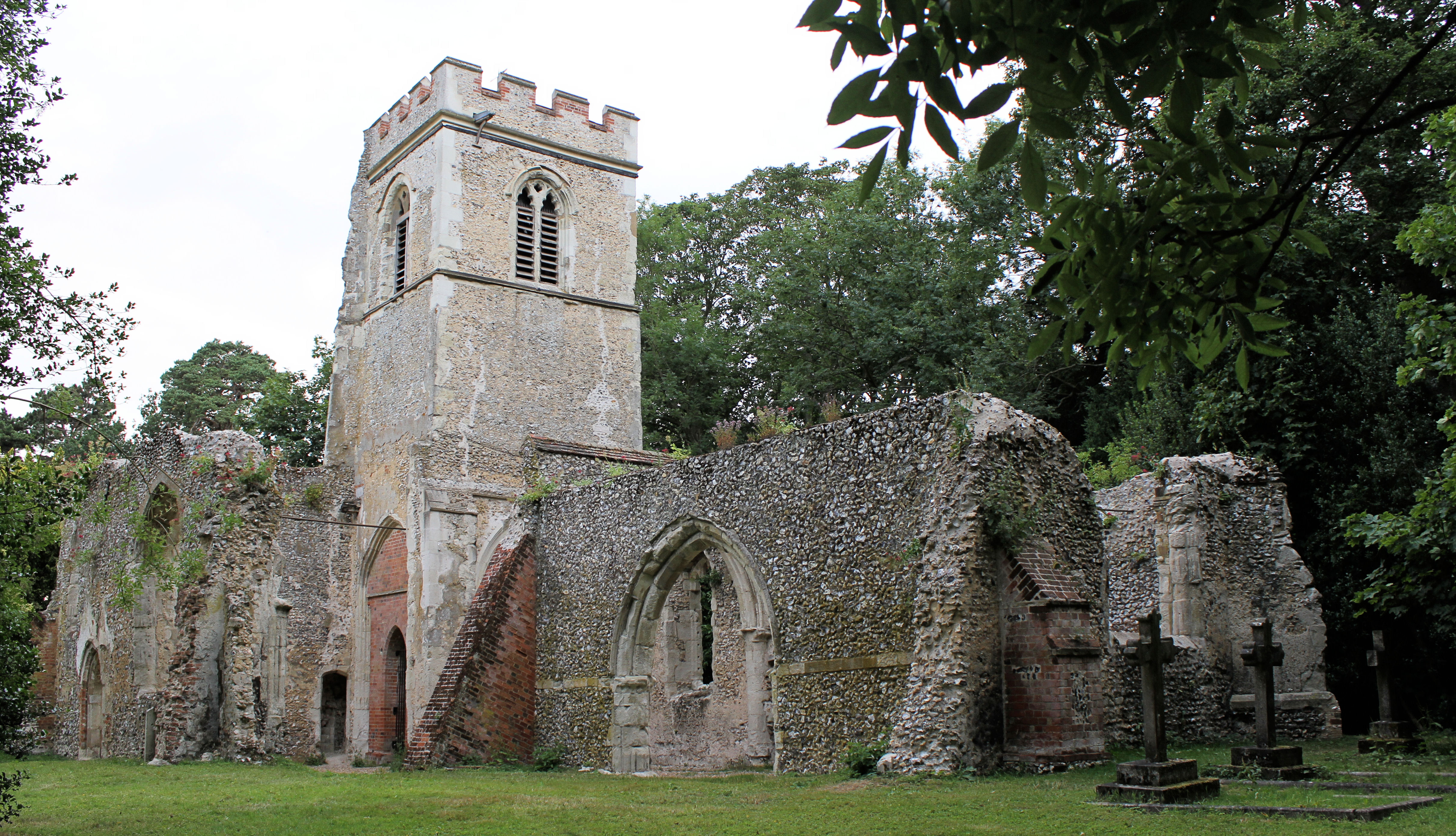
Old St Lawrence Church, Ayot St Lawrence

Old St Lawrence Church is a ruined building in Ayot St Lawrence, Hertfordshire, England. It is protected as a Grade II* listed building, and dates back...

St Helen's Church, Wheathampstead

St Helen's Church is the oldest church in Wheathampstead, Hertfordshire, England, although the date of its origins is unknown. The wooden Anglo-Saxon structure...

Wheathampstead

Wheathampstead is a village and civil parish in Hertfordshire, England, north of St Albans. The population of the ward at the 2001 census was 6,058. Included...

Ayot Park

Ayot Park is a grade II listed park and garden at Ayot St Lawrence in Hertfordshire, England. It contains the grade II* listed Ayot House along with an...

Nearby Amenities

Located within 500m of 51.829973,-0.2903015
Barrier: kissing_gate
Foot: yes
Source: GPS
Lat/Long: 51.8284593/-0.2910184
Bus Stop
Lamer Park
Bus: yes
Local Ref: NR
Naptan AtcoCode: 210021501480
Naptan Bearing: SE
Naptan CommonName: Lamer Park
Naptan Crossing: opp Golf Course
Naptan Indicator: nr
Naptan Landmark: opp Golf Course
Naptan NaptanCode: hrtdagtd
Naptan PlusbusZoneRef: HRPNDN;STALBCY
Naptan ShortCommonName: NA
Naptan Street: Lamer Lane
Naptan Verified: no
Public Transport: platform
Source: naptan_import
Lat/Long: 51.8278412/-0.2941253
Bus Stop
Lamer Park
Bus: yes
Naptan AtcoCode: 210021510290
Naptan Bearing: NW
Naptan CommonName: Lamer Park
Naptan Crossing: Golf Course
Naptan Indicator: opp
Naptan Landmark: Golf Course
Naptan NaptanCode: hrtatmat
Naptan PlusbusZoneRef: HRPNDN;STALBCY
Naptan ShortCommonName: NA
Naptan Street: Lamer Lane
Naptan Verified: no
Public Transport: platform
Source: naptan_import
Lat/Long: 51.8278227/-0.2942661
Barrier: stile
Foot: yes
Lat/Long: 51.8313344/-0.2855862
Post Box
Post Box Type: wall
Ref: AL4 12D
Royal Cypher: VR
Royal Cypher Wikidata: Q33102356
Lat/Long: 51.8274292/-0.2940069
Astridge Farm
Landuse: farmland
Source: OS_OpenData_StreetView
Lat/Long: 51.8330283/-0.292925
Barrier: kissing_gate
Foot: yes
Source: GPS, observation
Lat/Long: 51.8307962/-0.286363
Barrier: kissing_gate
Foot: yes
Source: GPS
Lat/Long: 51.828396/-0.2910413
Gustardwood
Place: hamlet
Lat/Long: 51.8284614/-0.2940463
Direction: 105
Generator Method: photovoltaic
Generator Output Electricity: yes
Generator Solar Modules: 18
Generator Source: solar
Generator Type: solar_photovoltaic_panel
Location: roof
Power: generator
Lat/Long: 51.8271637/-0.2950293
Direction: 105
Generator Method: photovoltaic
Generator Output Electricity: yes
Generator Solar Modules: 6
Generator Source: solar
Generator Type: solar_photovoltaic_panel
Location: roof
Power: generator
Lat/Long: 51.8271343/-0.2948459
Direction: 195
Generator Method: photovoltaic
Generator Output Electricity: yes
Generator Solar Modules: 14
Generator Source: solar
Generator Type: solar_photovoltaic_panel
Location: roof
Power: generator
Lat/Long: 51.8270796/-0.2947238
Direction: backward
Traffic Calming: chicane
Lat/Long: 51.8271597/-0.2935867
Direction: 180
Generator Method: photovoltaic
Generator Output Electricity: yes
Generator Solar Modules: 10
Generator Source: solar
Generator Type: solar_photovoltaic_panel
Location: roof
Power: generator
Lat/Long: 51.8259087/-0.2929556
Leisure: picnic_table
Source: GPS, observation
Lat/Long: 51.8307346/-0.2952871
The data included in this document is from www.openstreetmap.org. The data is made available under ODbL.

Have you been to Hillgate Spring?

Leave your review of Hillgate Spring below (or comments, questions and feedback).