Neslam Fen

Downs, Moorland in Lincolnshire South Kesteven

England

Neslam Fen

South Forty Foot Drain from Neslam Bridge Each of the villages between Bourne and Heckington, a distance of some 15 miles, almost without exception has a road leading out onto the fen named after its village and terminating at the South Forty Foot Drain. The road eastwards from the B1177 between Billingborough and Pointon is an exception as it crosses the South Forty Foot Drain at Neslam Bridge. This is the view from Neslam Bridge looking north along the South Forty Foot Drain, which is the main drainage channel for the whole area.
South Forty Foot Drain from Neslam Bridge Credit: Marathon

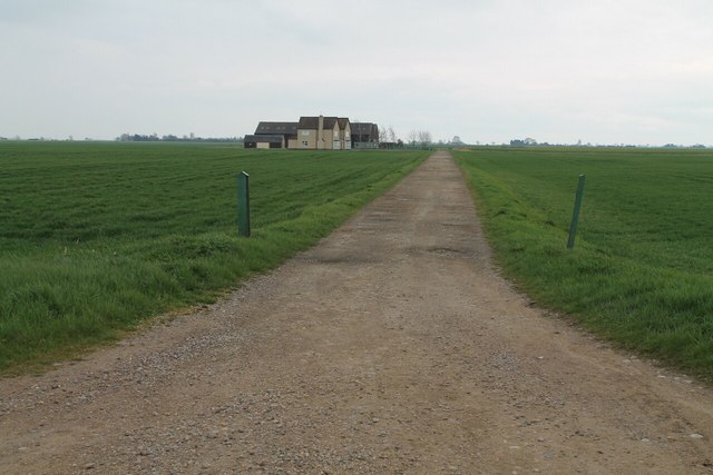
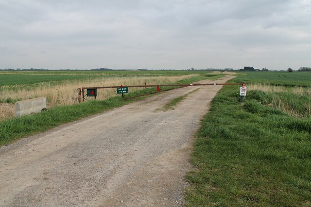
Neslam Fen is a small village located in the county of Lincolnshire, in the eastern part of England. Situated within the picturesque region known as the Lincolnshire Downs, the village is surrounded by breathtaking natural beauty and offers a tranquil and idyllic setting for its residents.

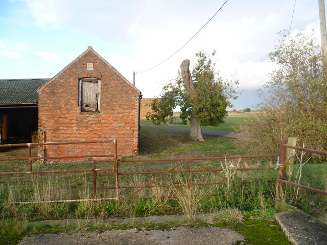
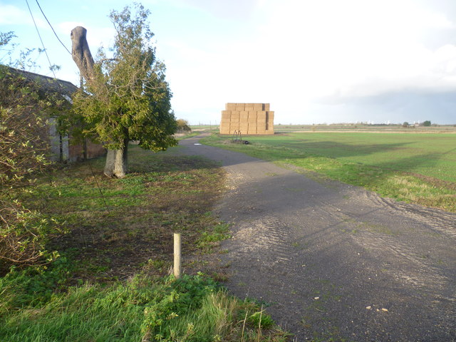
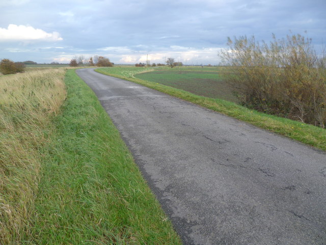
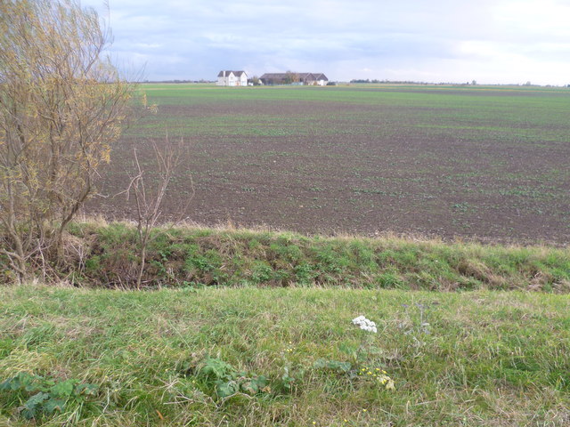
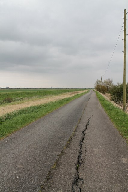
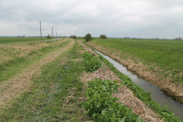
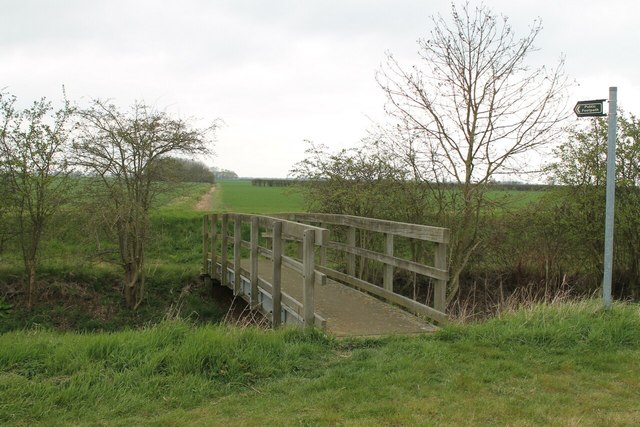
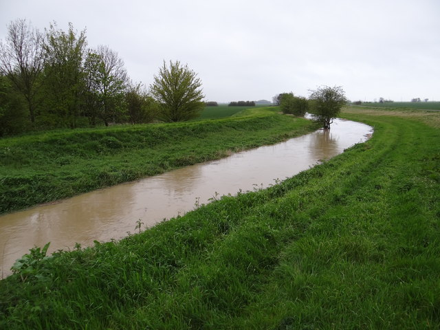
The village of Neslam Fen is characterized by its vast expanse of moorland, which stretches out as far as the eye can see. This moorland is home to a diverse range of flora and fauna, making it a haven for nature lovers and wildlife enthusiasts. The area is also known for its rich history, with archaeological evidence suggesting that humans have inhabited the region for centuries.

The village itself is small and close-knit, with a population of around 200 residents. The community is friendly and welcoming, often organizing local events and gatherings to foster a sense of unity among its residents. The village also boasts a charming village green, complete with a traditional pub that serves as a social hub for both locals and visitors.

Neslam Fen is well-connected to nearby towns and cities, with good transport links ensuring easy access to amenities and services. Despite its rural location, the village offers a peaceful and relaxed way of life, making it an attractive destination for those seeking a slower pace of living or a close connection to nature.

In summary, Neslam Fen in Lincolnshire is a small village nestled within the beautiful Lincolnshire Downs. With its stunning moorland, rich history, and friendly community, it provides residents with a peaceful and picturesque place to call home.

If you have any feedback on the listing, please let us know in the comments section below.
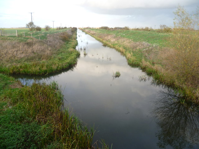
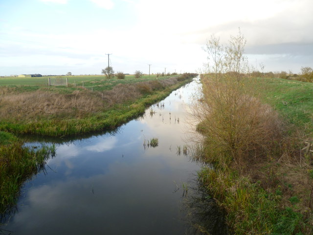
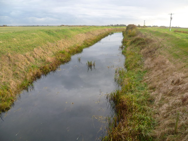
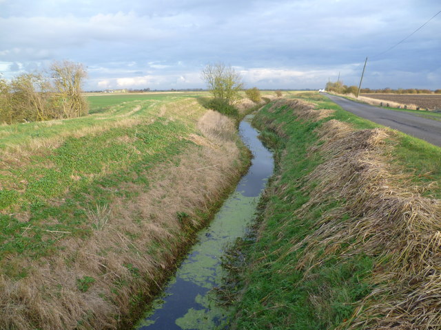
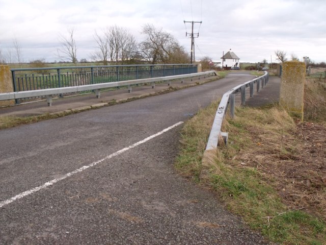
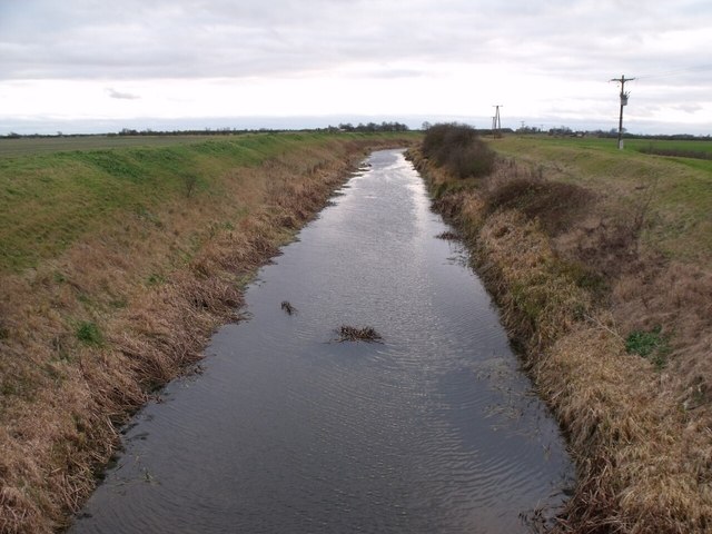
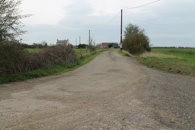
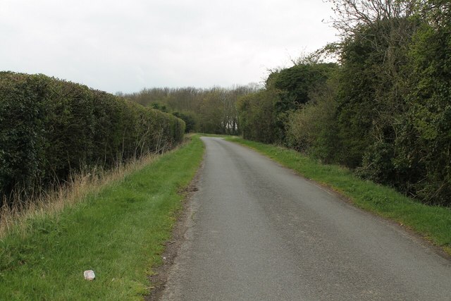
Neslam Fen Images

Images are sourced within 2km of 52.877965/-0.29780185 or Grid Reference TF1432. Thanks to Geograph Open Source API. All images are credited.

South Forty Foot Drain from Neslam Bridge Each of the villages between Bourne and Heckington, a distance of some 15 miles, almost without exception has a road leading out onto the fen named after its village and terminating at the South Forty Foot Drain. The road eastwards from the B1177 between Billingborough and Pointon is an exception as it crosses the South Forty Foot Drain at Neslam Bridge. This is the view from Neslam Bridge looking north along the South Forty Foot Drain, which is the main drainage channel for the whole area.
South Forty Foot Drain from Neslam Bridge
Each of the villages between Bourne and Heckington, a distance of some 15 miles, almost without exception has a road leading out onto the fen named after its village and terminating at the South Forty Foot Drain. The road eastwards from the B1177 between Billingborough and Pointon is an exception as it crosses the South Forty Foot Drain at Neslam Bridge. This is the view from Neslam Bridge looking north along the South Forty Foot Drain, which is the main drainage channel for the whole area.
Looking along the South Forty Foot Drain from Neslam Bridge Each of the villages between Bourne and Heckington, a distance of some 15 miles, almost without exception has a road leading out onto the fen named after its village and terminating at the South Forty Foot Drain. The road eastwards from the B1177 between Billingborough and Pointon is an exception as it crosses the South Forty Foot Drain at Neslam Bridge. This is the view from Neslam Bridge looking north along the South Forty Foot Drain, which is the main drainage channel for the whole area.
Looking along the South Forty Foot Drain from Neslam Bridge
Each of the villages between Bourne and Heckington, a distance of some 15 miles, almost without exception has a road leading out onto the fen named after its village and terminating at the South Forty Foot Drain. The road eastwards from the B1177 between Billingborough and Pointon is an exception as it crosses the South Forty Foot Drain at Neslam Bridge. This is the view from Neslam Bridge looking north along the South Forty Foot Drain, which is the main drainage channel for the whole area.
South Forty Foot Drain from Neslam Bridge Each of the villages between Bourne and Heckington, a distance of some 15 miles, almost without exception has a road leading out onto the fen named after its village and terminating at the South Forty Foot Drain. The road eastwards from the B1177 between Billingborough and Pointon is an exception as it crosses the South Forty Foot Drain at Neslam Bridge. This is the view from Neslam Bridge looking south along the South Forty Foot Drain, which is the main drainage channel for the whole area.
South Forty Foot Drain from Neslam Bridge
Each of the villages between Bourne and Heckington, a distance of some 15 miles, almost without exception has a road leading out onto the fen named after its village and terminating at the South Forty Foot Drain. The road eastwards from the B1177 between Billingborough and Pointon is an exception as it crosses the South Forty Foot Drain at Neslam Bridge. This is the view from Neslam Bridge looking south along the South Forty Foot Drain, which is the main drainage channel for the whole area.
Billingborough Lode next to Neslam Road near Neslam Fen Farm Each of the villages between Bourne and Heckington, a distance of some 15 miles, almost without exception has a road leading out onto the fen named after its village and terminating at the South Forty Foot Drain. These roads are often straight, apart from double-sharp bends to keep them heading in the same direction. The road eastwards from the B1177 between Billingborough and Pointon is an exception as it crosses the South Forty Foot Drain. At first it is known as Neslam Road (after Neslam Fen) and after it crosses the Drain it becomes Long Drove. Unlike some of the other roads which cross the South Forty Foot Drain, this is a fairly quiet, narrow and bumpy road. This is a typical fenland scene with a flat landscape, a drainage dyke (Billingborough Lode), large fields, often isolated trees and lonely farms.
Billingborough Lode next to Neslam Road near Neslam Fen Farm
Each of the villages between Bourne and Heckington, a distance of some 15 miles, almost without exception has a road leading out onto the fen named after its village and terminating at the South Forty Foot Drain. These roads are often straight, apart from double-sharp bends to keep them heading in the same direction. The road eastwards from the B1177 between Billingborough and Pointon is an exception as it crosses the South Forty Foot Drain. At first it is known as Neslam Road (after Neslam Fen) and after it crosses the Drain it becomes Long Drove. Unlike some of the other roads which cross the South Forty Foot Drain, this is a fairly quiet, narrow and bumpy road. This is a typical fenland scene with a flat landscape, a drainage dyke (Billingborough Lode), large fields, often isolated trees and lonely farms.
Neslam Fen Farm Each of the villages between Bourne and Heckington, a distance of some 15 miles, almost without exception has a road leading out onto the fen named after its village and terminating at the South Forty Foot Drain. The road eastwards from the B1177 between Billingborough and Pointon is an exception as it crosses the South Forty Foot Drain at Neslam Bridge. Neslam Fen Farm spans both sides of Neslam Road, with the farmhouse on the south side of the road. This is the view of the buildings on the north side of Neslam Road.
Neslam Fen Farm
Each of the villages between Bourne and Heckington, a distance of some 15 miles, almost without exception has a road leading out onto the fen named after its village and terminating at the South Forty Foot Drain. The road eastwards from the B1177 between Billingborough and Pointon is an exception as it crosses the South Forty Foot Drain at Neslam Bridge. Neslam Fen Farm spans both sides of Neslam Road, with the farmhouse on the south side of the road. This is the view of the buildings on the north side of Neslam Road.
Neslam Fen Farm Each of the villages between Bourne and Heckington, a distance of some 15 miles, almost without exception has a road leading out onto the fen named after its village and terminating at the South Forty Foot Drain. The road eastwards from the B1177 between Billingborough and Pointon is an exception as it crosses the South Forty Foot Drain at Neslam Bridge. Neslam Fen Farm spans both sides of Neslam Road, with the farmhouse on the south side of the road. This is the view on the north side of Neslam Road towards a rather impressive stack of hay. This is a typical fenland scene with a flat landscape, large hedgeless fields, often isolated trees and lonely farms. A wind farm is just visible on the horizon.
Neslam Fen Farm
Each of the villages between Bourne and Heckington, a distance of some 15 miles, almost without exception has a road leading out onto the fen named after its village and terminating at the South Forty Foot Drain. The road eastwards from the B1177 between Billingborough and Pointon is an exception as it crosses the South Forty Foot Drain at Neslam Bridge. Neslam Fen Farm spans both sides of Neslam Road, with the farmhouse on the south side of the road. This is the view on the north side of Neslam Road towards a rather impressive stack of hay. This is a typical fenland scene with a flat landscape, large hedgeless fields, often isolated trees and lonely farms. A wind farm is just visible on the horizon.
Neslam Road Each of the villages between Bourne and Heckington, a distance of some 15 miles, almost without exception has a road leading out onto the fen named after its village and terminating at the South Forty Foot Drain. Neslam Road which runs eastwards from the B1177 between Billingborough and Pointon is an exception as it crosses the South Forty Foot Drain at Neslam Bridge. Unlike some of the other roads which cross the South Forty Foot Drain, it is a fairly quiet, narrow and bumpy road. This is a typical fenland scene with a flat landscape, large hedgeless fields, often isolated trees and lonely farms.
Neslam Road
Each of the villages between Bourne and Heckington, a distance of some 15 miles, almost without exception has a road leading out onto the fen named after its village and terminating at the South Forty Foot Drain. Neslam Road which runs eastwards from the B1177 between Billingborough and Pointon is an exception as it crosses the South Forty Foot Drain at Neslam Bridge. Unlike some of the other roads which cross the South Forty Foot Drain, it is a fairly quiet, narrow and bumpy road. This is a typical fenland scene with a flat landscape, large hedgeless fields, often isolated trees and lonely farms.
Neslam Farm from Neslam Road This is a typical fenland scene with a flat landscape, large hedgeless fields, often isolated trees and lonely farms. The nearest farms to Neslam Farm out on Neslam Fen are at least half a mile away.
Neslam Farm from Neslam Road
This is a typical fenland scene with a flat landscape, large hedgeless fields, often isolated trees and lonely farms. The nearest farms to Neslam Farm out on Neslam Fen are at least half a mile away.
Neslam road crossing Neslam Bridge The bridge crosses the south Forty Foot Drain
Neslam road crossing Neslam Bridge
The bridge crosses the south Forty Foot Drain
South Forty Foot Drain More info <span class="nowrap"><a title="http://en.wikipedia.org/wiki/South_Forty-Foot_Drain" rel="nofollow ugc noopener" href="http://en.wikipedia.org/wiki/South_Forty-Foot_Drain">Link</a><img style="margin-left:2px;" alt="External link" title="External link - shift click to open in new window" src="https://s1.geograph.org.uk/img/external.png" width="10" height="10"/></span>
South Forty Foot Drain
More info LinkExternal link
Track to Poplar Farm
Neslam Road The road clips the corner of this square here.
Neslam Road
The road clips the corner of this square here.
Cracks in Neslam Road
Billingborough Lode along Neslam Road
Track to Neslam Farm, from Neslam Road
Track to Decoy Farm Off Millthorpe Drive.
Track to Decoy Farm
Off Millthorpe Drive.
Footpath with Bridge over Billingborough Lode
High rise The water level in Billingborough Lode is much higher than normal after some heavy rain.
High rise
The water level in Billingborough Lode is much higher than normal after some heavy rain.
Show me another place!

Neslam Fen is located at Grid Ref: TF1432 (Lat: 52.877965, Lng: -0.29780185)

Administrative County: Lincolnshire

District: South Kesteven

Police Authority: Lincolnshire

What 3 Words

///handover.madness.congas. Near Billingborough, Lincolnshire

Nearby Locations

Neslam Fen

Related Wikis

Pointon

Pointon is a small village situated 7 miles (11.3 km) north of Bourne, in the South Kesteven district of Lincolnshire, England. It forms part of the civil...

Sempringham

Sempringham is a hamlet in the South Kesteven district of Lincolnshire, England. It is situated 2 miles (3.2 km) south from the A52 road, 12 miles (19...

Pointon and Sempringham

Pointon and Sempringham is a civil parish in the English county of Lincolnshire. Forming part of the non-metropolitan district of South Kesteven its main...

St Andrew's Church, Billingborough

St Andrew's Church is a Grade I listed Anglican parish church dedicated to Andrew the Apostle, in Billingborough, Lincolnshire, England. The church is...

Billingborough

Billingborough is a village and civil parish in the South Kesteven district of Lincolnshire, England. It is situated approximately 10 miles (16 km) north...

South Forty-Foot Drain

The South Forty-Foot Drain, also known as the Black Sluice Navigation, is the main channel for the land-drainage of the Black Sluice Level in the Lincolnshire...

Billingborough and Horbling railway station

Billingborough and Horbling railway station was a station serving the villages of Billingborough, Horbling and Threekingham, Lincolnshire on the Great...

Bridgend Priory

Bridgend Priory was a monastic house in Horbling, Lincolnshire, England. The priory was founded around 1199 by Godwin the Rich of Lincoln, a benefactor...

Nearby Amenities

Located within 500m of 52.877965,-0.29780185
Neslam Farm
Place: farm
Source: Bing
Lat/Long: 52.8812918/-0.3004922
Turning Circle
Lat/Long: 52.8814952/-0.3006445
The data included in this document is from www.openstreetmap.org. The data is made available under ODbL.

Have you been to Neslam Fen?

Leave your review of Neslam Fen below (or comments, questions and feedback).