Bucknall Fen
Downs, Moorland in Lincolnshire East Lindsey
England
Bucknall Fen

Bucknall Fen is a region situated in Lincolnshire, England, known for its diverse landscapes comprising downs and moorland. This area, spanning approximately 200 square miles, is characterized by its unique topography, which attracts both locals and tourists alike.
The downs in Bucknall Fen are undulating hills that offer picturesque views of the surrounding countryside. Covered in lush green grasses and dotted with vibrant wildflowers during the warmer months, these downs provide a serene and peaceful setting for outdoor activities such as hiking and picnicking. The gentle slopes of the downs make them accessible to visitors of all ages and fitness levels.
In contrast, the moorland in Bucknall Fen offers a completely different experience. This rugged terrain is characterized by heather-covered hills, peat bogs, and scattered ponds. Moorland plants, such as sphagnum moss and cotton grass, thrive in this environment, creating a unique and vibrant ecosystem. The moorland is home to various bird species, including the rare hen harrier and merlin, attracting birdwatchers from far and wide.
Bucknall Fen’s diverse landscapes also provide habitats for a variety of wildlife. Common sightings include hares, rabbits, foxes, and deer, adding to the region's natural charm. Additionally, the area is intersected by several footpaths and trails, allowing visitors to explore and appreciate the natural beauty of Bucknall Fen.
Overall, Bucknall Fen in Lincolnshire offers a captivating mix of downs and moorland, providing visitors with a range of outdoor activities and opportunities to appreciate the region's diverse flora and fauna.
If you have any feedback on the listing, please let us know in the comments section below.
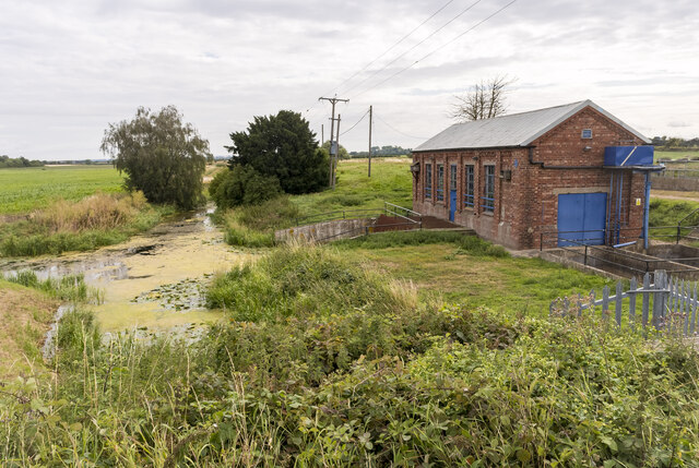
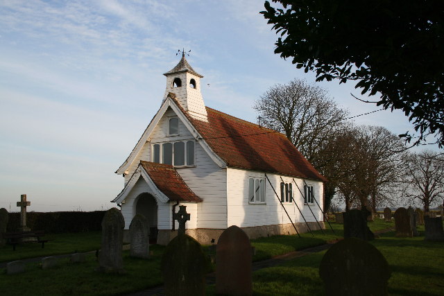
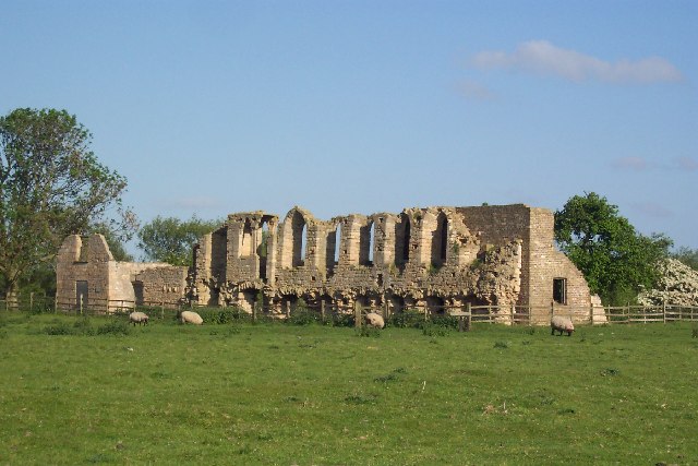
Bucknall Fen Images
Images are sourced within 2km of 53.182973/-0.28568876 or Grid Reference TF1466. Thanks to Geograph Open Source API. All images are credited.


Bucknall Fen is located at Grid Ref: TF1466 (Lat: 53.182973, Lng: -0.28568876)
Administrative County: Lincolnshire
District: East Lindsey
Police Authority: Lincolnshire
What 3 Words
///addicted.hiker.inert. Near Bardney, Lincolnshire
Nearby Locations
Related Wikis

Southrey railway station
Southrey railway station is a former station in Southrey, Lincolnshire. == History == The station was opened on 17 October 1848 as part of the new 58 miles...
Southrey
Southrey is a village in the civil parish of Bardney in the West Lindsey district of Lincolnshire, England, and approximately 2 miles (3 kilometres) south...

Tupholme Abbey
Tupholme Abbey was a Premonstratensian abbey close to the River Witham some 10.5 miles (16.9 km) east of the city of Lincoln, England and one of nine such...
Tupholme
Tupholme is a village in the East Lindsey district of Lincolnshire, England. It is situated 11 miles (18 km) east from Lincoln, and is the site of the...
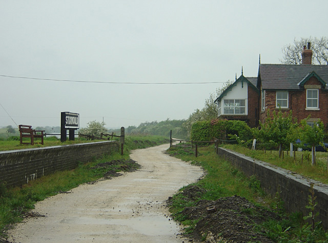
Stixwould railway station
Stixwould railway station was a station in Stixwould, Lincolnshire, England. == History == The station was also the site of the Stixwould ferry across...

Stixwould Priory
Stixwould Priory was a priory in Lincolnshire, England, a Cistercian nunnery founded by Lucy, countess of Chester, in 1135. The Mappa Mundi describes...
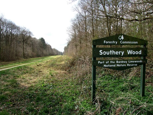
Southrey Wood
Southrey Wood is reserve near Bardney in the county of Lincolnshire, England. Butterfly Conservation manages this reserve. It is 22 acres (8.9 ha) in extent...
Stixwould
Stixwould is a small village in the civil parish of Stixwould and Woodhall, in the East Lindsey district of Lincolnshire, England. == Geography == The...
Nearby Amenities
Located within 500m of 53.182973,-0.28568876Have you been to Bucknall Fen?
Leave your review of Bucknall Fen below (or comments, questions and feedback).