North Field

Downs, Moorland in Yorkshire

England

North Field

158 Squadron Memorial Plate steel memorial on Gransmoor Road, to 158 Squadron based at RAF Lissett, the images of seven airmen are inscribed with the names of the 851 men who did not return from operations at the airfield
158 Squadron Memorial Credit: Richard Croft

North Field, Yorkshire is a picturesque region situated in the northern part of the county. Known for its stunning natural beauty, North Field encompasses both downs and moorland landscapes, offering a diverse and captivating environment for visitors and residents alike.

The downs in North Field are characterized by their gently rolling hills and extensive grasslands. These open spaces provide ample opportunities for outdoor activities such as hiking, picnicking, and birdwatching. The downs are also home to a variety of wildlife, including rabbits, foxes, and various bird species, making it a haven for nature enthusiasts.

In addition to the downs, North Field boasts vast expanses of moorland, which are marked by their rugged terrain, heather-covered hills, and peat bogs. Moorland in North Field showcases a unique ecosystem with its own distinctive flora and fauna. Visitors can witness the vibrant purple hues of blooming heather during the late summer months, while also encountering creatures like grouse, curlews, and wild ponies. The moorland is crisscrossed by numerous walking trails, allowing visitors to explore the area's natural wonders.

North Field is also home to quaint villages and historic sites, offering a glimpse into the region's rich cultural heritage. The local communities are known for their warm hospitality, and visitors can enjoy traditional Yorkshire cuisine and experience the charm of the local shops and markets.

Overall, North Field, Yorkshire, with its downs, moorland, and vibrant communities, is a captivating destination that caters to both nature enthusiasts and those seeking a glimpse into the region's cultural heritage.

If you have any feedback on the listing, please let us know in the comments section below.
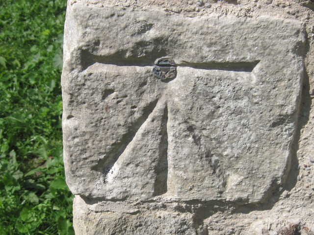
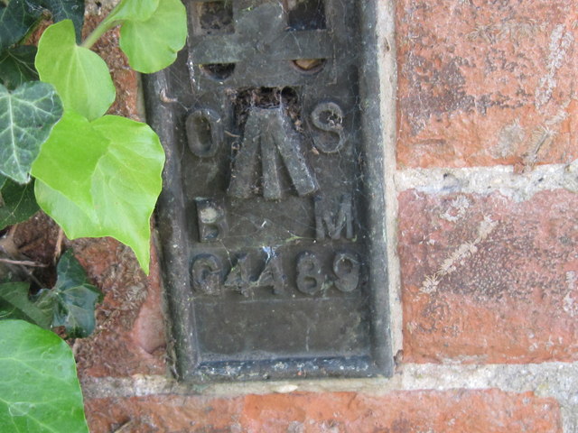
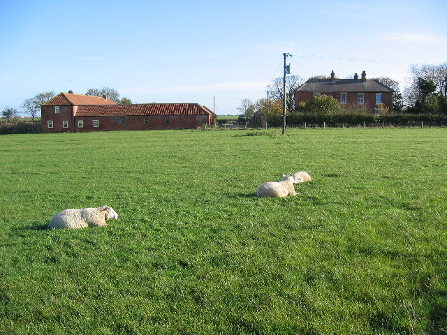
North Field Images

Images are sourced within 2km of 53.991444/-0.25284918 or Grid Reference TA1456. Thanks to Geograph Open Source API. All images are credited.

158 Squadron Memorial Plate steel memorial on Gransmoor Road, to 158 Squadron based at RAF Lissett, the images of seven airmen are inscribed with the names of the 851 men who did not return from operations at the airfield
158 Squadron Memorial
Plate steel memorial on Gransmoor Road, to 158 Squadron based at RAF Lissett, the images of seven airmen are inscribed with the names of the 851 men who did not return from operations at the airfield
158 Squadron Memorial Detail of 158 Squadron memorial <a title="https://www.geograph.org.uk/photo/2596858" href="https://www.geograph.org.uk/photo/2596858">Link</a> near the site of RAF Lissett
158 Squadron Memorial
Detail of 158 Squadron memorial Link near the site of RAF Lissett
Storm brewing over the windfarm
158 Sqn RAF Memorial at Lissett Windfarm The Memorial features seven airmen and stands on the road edge of the Novera Energy wind farm at the old Lissett aerodrome in honour of the 851 men and women from 158 Sqn who lost their lives while based at the site.
158 Sqn RAF Memorial at Lissett Windfarm
The Memorial features seven airmen and stands on the road edge of the Novera Energy wind farm at the old Lissett aerodrome in honour of the 851 men and women from 158 Sqn who lost their lives while based at the site.
Ordnance Survey Cut Mark with Bolt This mark and bolt can be found on the wall of the church.
For more detail see : <span class="nowrap"><a title="http://www.bench-marks.org.uk/bm24578" rel="nofollow ugc noopener" href="http://www.bench-marks.org.uk/bm24578">Link</a><img style="margin-left:2px;" alt="External link" title="External link - shift click to open in new window" src="https://s1.geograph.org.uk/img/external.png" width="10" height="10"/></span>
Ordnance Survey Cut Mark with Bolt
This mark and bolt can be found on the wall of the church. For more detail see : LinkExternal link
Ordnance Survey  Flush Bracket G4489 This bracket can be found on the wall of 'Old School House'.
For more detail see : <span class="nowrap"><a title="http://www.bench-marks.org.uk/bm15895" rel="nofollow ugc noopener" href="http://www.bench-marks.org.uk/bm15895">Link</a><img style="margin-left:2px;" alt="External link" title="External link - shift click to open in new window" src="https://s1.geograph.org.uk/img/external.png" width="10" height="10"/></span>
Ordnance Survey Flush Bracket G4489
This bracket can be found on the wall of 'Old School House'. For more detail see : LinkExternal link
Footpath near Beeford The farmer has done an excellent job in maintaining this footpath across this field north of the B1249 Beeford Road. I suspect the work is largely in vain, judging by the overgrown state of the access footbridge over the adjacent land drain.
Footpath near Beeford
The farmer has done an excellent job in maintaining this footpath across this field north of the B1249 Beeford Road. I suspect the work is largely in vain, judging by the overgrown state of the access footbridge over the adjacent land drain.
Sign for Happy Lands Farm, near Beeford Sign at the entrance to the track to the cheerily-named agricultural business at Dringhoe, on the B1249 between Beeford and Skipsea Brough
Sign for Happy Lands Farm, near Beeford
Sign at the entrance to the track to the cheerily-named agricultural business at Dringhoe, on the B1249 between Beeford and Skipsea Brough
Bus to Beeford A bus heads along the B1249 Beeford Road at Dringhoe; the website of the bus operator must surely cause some confusion among those in search of street performers.
Bus to Beeford
A bus heads along the B1249 Beeford Road at Dringhoe; the website of the bus operator must surely cause some confusion among those in search of street performers.
A165 Bridlington Road
Lisset Wind Farm
Lisset Wind Farm
Road junction at Lisset
Entrance to Ulrome Grange
North Turnpike The new road running parallel is part of the Dogger Bank Wind Farm infrastructure.
North Turnpike
The new road running parallel is part of the Dogger Bank Wind Farm infrastructure.
Manor House, Dringhoe
Infrastructure for wind power development Or a road to nowhere
Infrastructure for wind power development
Or a road to nowhere
Barbriggs Lane
Barbriggs Lane
Show me another place!

North Field is located at Grid Ref: TA1456 (Lat: 53.991444, Lng: -0.25284918)

Division: East Riding

Unitary Authority: East Riding of Yorkshire

Police Authority: Humberside

What 3 Words

///stiffly.orders.premises. Near Ulrome, East Yorkshire

Related Wikis

Lissett

Lissett is a village and former civil parish, now in the parish of Ulrome, in the Holderness area of the East Riding of Yorkshire, England. It is situated...

Dringhoe

Dringhoe is a hamlet in the East Riding of Yorkshire, England. It is situated approximately 5.5 miles (9 km) north of Hornsea on the B1249 road to the...

Ulrome

Ulrome is a village and civil parish in the East Riding of Yorkshire, England. It is situated approximately 6 miles (9.7 km) north of the town of Hornsea...
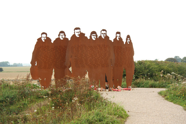
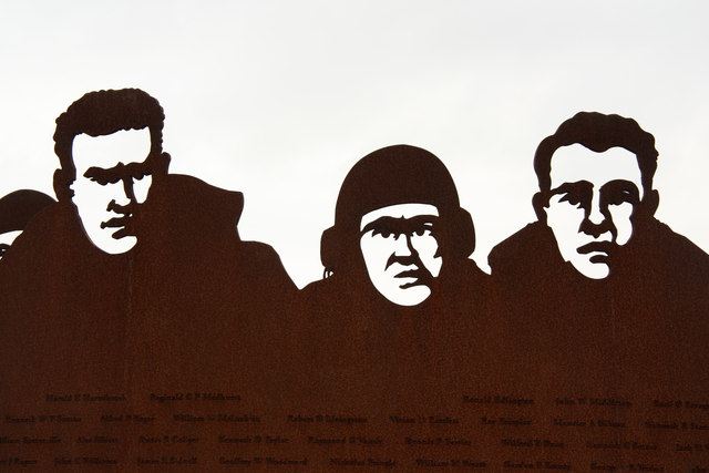
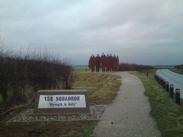
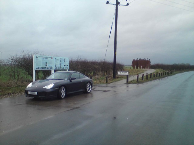
RAF Lissett

Royal Air Force Lissett or more simply RAF Lissett is a former Royal Air Force station located 6.1 miles (9.8 km) south west of Bridlington, East Riding...

Have you been to North Field?

Leave your review of North Field below (or comments, questions and feedback).