Balgaveny

Settlement in Aberdeenshire

Scotland

Balgaveny

Old Milestone by the B9001, Largue, Forgue Parish Double bevel by the B9001, in parish of Forgue (Grampian District), East end of Largue, opposite Taigh an Achaldh, South side of road.

Inscription reads:- : Ab(erdeen) / 33 : : In(verurie) / 17 : 

Surveyed

Milestone Society National ID: AD_ADIU33
Old Milestone by the B9001, Largue, Forgue Parish Credit: Milestone Society

Balgaveny is a small village located in Aberdeenshire, Scotland. Situated just south of the River Dee, it is surrounded by picturesque countryside and rolling hills. The village is part of the larger Banchory-Devenick parish and is approximately 10 miles southwest of the city of Aberdeen.

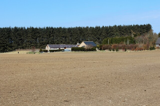
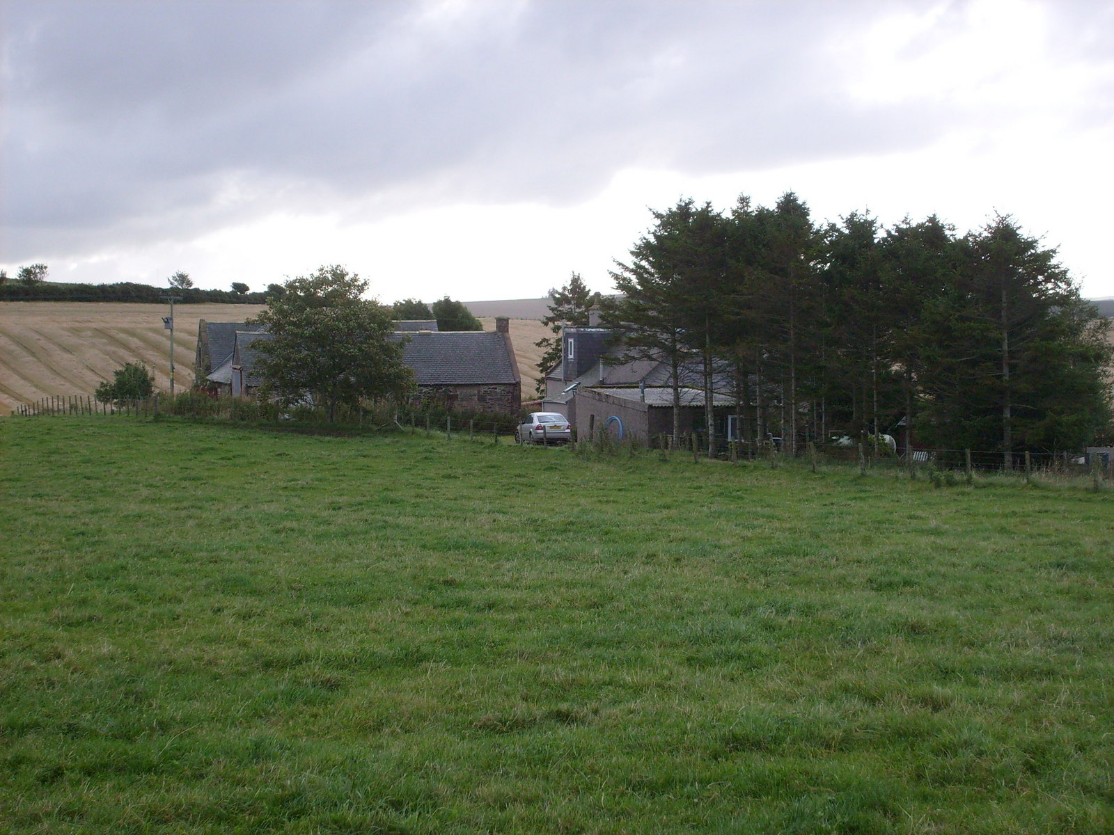
Balgaveny is predominantly a rural community with a population of around 200 residents. The village is known for its historical significance, as it is home to the 16th-century Balgaveny Castle. This imposing tower house was once a residence of the Irvine family and is now a designated historic site.

The village itself has limited amenities, with no shops or schools within its boundaries. However, residents have easy access to a range of facilities in nearby towns such as Banchory and Portlethen. The surrounding area offers numerous outdoor activities, including fishing, hiking, and cycling, making it an attractive location for those who enjoy nature and outdoor pursuits.

Despite its small size, Balgaveny has a strong sense of community. The village hosts regular events and gatherings, fostering a friendly and welcoming atmosphere. It is also well-connected to the wider region, with good transportation links to Aberdeen and other nearby towns.

Overall, Balgaveny offers a peaceful and scenic setting for those seeking a tranquil rural lifestyle while still being within a short distance of the amenities and opportunities of larger towns and cities.

If you have any feedback on the listing, please let us know in the comments section below.
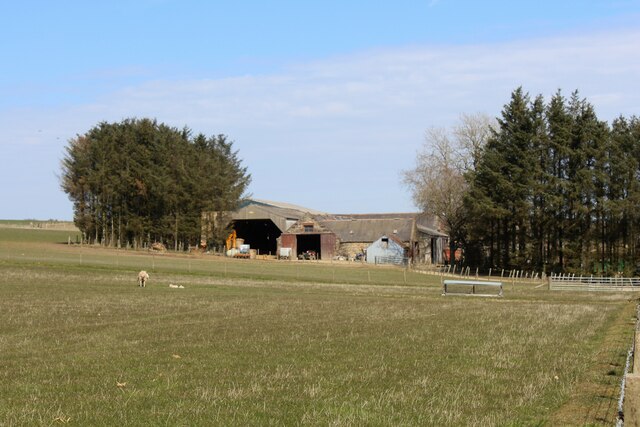
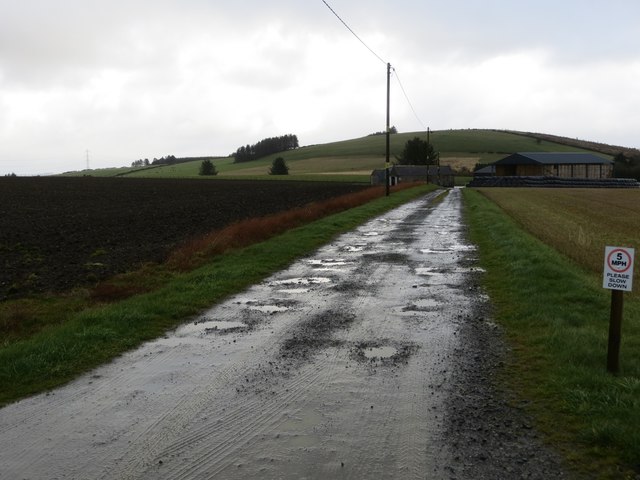
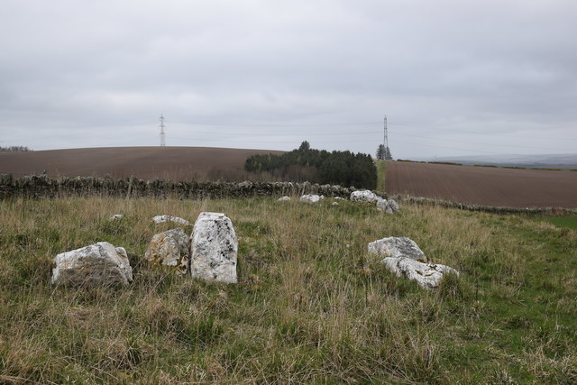
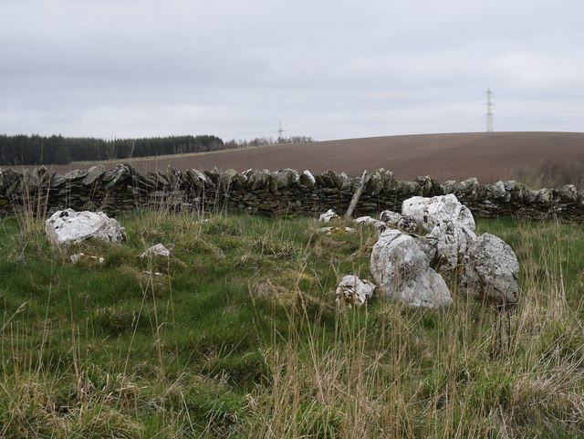
Balgaveny Images

Images are sourced within 2km of 57.458721/-2.572193 or Grid Reference NJ6541. Thanks to Geograph Open Source API. All images are credited.

Old Milestone by the B9001, Largue, Forgue Parish Double bevel by the B9001, in parish of Forgue (Grampian District), East end of Largue, opposite Taigh an Achaldh, South side of road.

Inscription reads:- : Ab(erdeen) / 33 : : In(verurie) / 17 : 

Surveyed

Milestone Society National ID: AD_ADIU33
Old Milestone by the B9001, Largue, Forgue Parish
Double bevel by the B9001, in parish of Forgue (Grampian District), East end of Largue, opposite Taigh an Achaldh, South side of road. Inscription reads:- : Ab(erdeen) / 33 : : In(verurie) / 17 : Surveyed Milestone Society National ID: AD_ADIU33
Old Milestone by the B9001, near Balgaveny, Forgue parish Double bevel by the B9001, in parish of Forgue (Grampian District), Northwest of Balgaveny, opposite and just Southeast of lane to Haremoss.

Inscription reads:-
: Ab / 32 : : In / 16 :
(To Aberdeen and Inverurie) 

Surveyed

Milestone Society National ID: AD_ADIU32
Old Milestone by the B9001, near Balgaveny, Forgue parish
Double bevel by the B9001, in parish of Forgue (Grampian District), Northwest of Balgaveny, opposite and just Southeast of lane to Haremoss. Inscription reads:- : Ab / 32 : : In / 16 : (To Aberdeen and Inverurie) Surveyed Milestone Society National ID: AD_ADIU32
North Mains of Balgaveny North Mains lying by a dip in the road at Balgaveny, Denmoss behind.
North Mains of Balgaveny
North Mains lying by a dip in the road at Balgaveny, Denmoss behind.
Knows Ruin What appears to be a ruined croft at Knows of Balgaveny. This could be the site of an early smithy as on the 1888-1914 the Knows of Balgaveny are shown as "Smithy".
Knows Ruin
What appears to be a ruined croft at Knows of Balgaveny. This could be the site of an early smithy as on the 1888-1914 the Knows of Balgaveny are shown as "Smithy".
Knows of Balgaveny The access road leading to the small farm at Knows of Balgaveny.
Knows of Balgaveny
The access road leading to the small farm at Knows of Balgaveny.
South Mains of Balgaveny The South Mains steading with a paddock in front and sheltering trees.
South Mains of Balgaveny
The South Mains steading with a paddock in front and sheltering trees.
Woodside of Balgaveny Looking down on Woodside of Balgaveny the B9001 passing by unseen .
Woodside of Balgaveny
Looking down on Woodside of Balgaveny the B9001 passing by unseen .
Denmoss Farm The Farm of Denmoss from further up its eponymous hill and a pond by Balgaveny House in the Den of Largue visible on the left.
Denmoss Farm
The Farm of Denmoss from further up its eponymous hill and a pond by Balgaveny House in the Den of Largue visible on the left.
Access to Upper Lenshie The access road to Upper Lenshie Farm.
Access to Upper Lenshie
The access road to Upper Lenshie Farm.
Hill of Denmoss Turbine A wind turbine near woodland on Hill of Denmoss.
Hill of Denmoss Turbine
A wind turbine near woodland on Hill of Denmoss.
Denmoss Mast A seemingly new telecommunication mast atop Denmoss Hill.
Denmoss Mast
A seemingly new telecommunication mast atop Denmoss Hill.
Track leading to Mosshead Looking eastward.
Track leading to Mosshead
Looking eastward.
Logie Newton cairns Cairns (or mini stone circles?) on the sloping hillside of Kirk Hill.  See Canmore listing 18228 for more: <span class="nowrap"><a title="https://canmore.org.uk/site/18228/logie-newton" rel="nofollow ugc noopener" href="https://canmore.org.uk/site/18228/logie-newton">Link</a><img style="margin-left:2px;" alt="External link" title="External link - shift click to open in new window" src="https://s1.geograph.org.uk/img/external.png" width="10" height="10"/></span> , where they are described as "three small, unearthly, rings of quartzite blocks".
Logie Newton cairns
Cairns (or mini stone circles?) on the sloping hillside of Kirk Hill. See Canmore listing 18228 for more: LinkExternal link , where they are described as "three small, unearthly, rings of quartzite blocks".
Quartzite cairn, Logie Newton This is presumably 'cairn A' in the Canmore listing: <span class="nowrap"><a title="https://canmore.org.uk/site/18228/logie-newton" rel="nofollow ugc noopener" href="https://canmore.org.uk/site/18228/logie-newton">Link</a><img style="margin-left:2px;" alt="External link" title="External link - shift click to open in new window" src="https://s1.geograph.org.uk/img/external.png" width="10" height="10"/></span> .   The stones are dramatically white, even on an exceptionally dismal Aberdeenshire afternoon.
Quartzite cairn, Logie Newton
This is presumably 'cairn A' in the Canmore listing: LinkExternal link . The stones are dramatically white, even on an exceptionally dismal Aberdeenshire afternoon.
Burnside Croft The converted croft of Burnside set against woodland.
Burnside Croft
The converted croft of Burnside set against woodland.
Ordnance Survey  Flush Bracket 11226 This can be found on the wall of Newton Thorneybank.
For more detail see : <span class="nowrap"><a title="http://www.bench-marks.org.uk/bm22143" rel="nofollow ugc noopener" href="http://www.bench-marks.org.uk/bm22143">Link</a><img style="margin-left:2px;" alt="External link" title="External link - shift click to open in new window" src="https://s1.geograph.org.uk/img/external.png" width="10" height="10"/></span>
Ordnance Survey Flush Bracket 11226
This can be found on the wall of Newton Thorneybank. For more detail see : LinkExternal link
Looking towards Nether Aucharnie The farm buildings at Nether Aucharnie are hidden from view by the trees and the lie of the land. The houses are beside the access road to the farm.
Looking towards Nether Aucharnie
The farm buildings at Nether Aucharnie are hidden from view by the trees and the lie of the land. The houses are beside the access road to the farm.
Easter Aucharnie A traditional house dwarfed by large new barns, on the outskirts of the hamlet of Largue.
Easter Aucharnie
A traditional house dwarfed by large new barns, on the outskirts of the hamlet of Largue.
Show me another place!

Balgaveny is located at Grid Ref: NJ6541 (Lat: 57.458721, Lng: -2.572193)

Unitary Authority: Aberdeenshire

Police Authority: North East

What 3 Words

///workshops.swear.alike. Near Rothienorman, Aberdeenshire

Nearby Locations

Balgaveny

Related Wikis

Auldyoch

Auldyoch is a hamlet in Aberdeenshire, Scotland. == History == The name "Auldyoch" means "horse burn". == References ==

Ythan Wells

Ythan Wells, also known as Glenmailen, is the site of a Roman military camp, near the farm of Glenmellan, 2.1 kilometres (1.3 mi) east of the village of...

Ythanwells

Ythanwells () is a village in the Marr area of Aberdeenshire, Scotland, lying 10.6 kilometres (6.6 mi) east of Huntly. The village is sometimes known...

Frendraught Castle

Frendraught Castle or House is a 17th-century house, about 6 miles (9.7 km) east of Huntly, Aberdeenshire, Scotland, and 1 mile (1.6 km) west of Largue...

Nearby Amenities

Located within 500m of 57.458721,-2.572193
Power: pole
Lat/Long: 57.4603367/-2.5797054
Power: pole
Lat/Long: 57.460211/-2.5784691
Power: pole
Lat/Long: 57.4597692/-2.5771803
Power: pole
Lat/Long: 57.4594003/-2.5761362
Power: pole
Lat/Long: 57.4589796/-2.5749981
Power: pole
Lat/Long: 57.4585555/-2.5738273
Power: pole
Lat/Long: 57.4581642/-2.5727264
Power: pole
Lat/Long: 57.4579692/-2.57201
Power: pole
Lat/Long: 57.4576613/-2.570885
Power: pole
Lat/Long: 57.4573723/-2.5697797
Power: pole
Lat/Long: 57.4570691/-2.5686745
Power: pole
Lat/Long: 57.456686/-2.5679296
Power: pole
Lat/Long: 57.4563077/-2.5672415
Power: pole
Lat/Long: 57.4557754/-2.5661625
Power: pole
Lat/Long: 57.4576954/-2.5735499
Power: pole
Lat/Long: 57.458579/-2.5721498
Power: pole
Lat/Long: 57.4607197/-2.5781086
Power: pole
Lat/Long: 57.4612038/-2.5777854
Power: pole
Lat/Long: 57.4617548/-2.5773834
Power: pole
Lat/Long: 57.4608901/-2.5788098
Power: pole
Lat/Long: 57.4551847/-2.5722869
Power: pole
Lat/Long: 57.4546771/-2.5714417
The data included in this document is from www.openstreetmap.org. The data is made available under ODbL.

Have you been to Balgaveny?

Leave your review of Balgaveny below (or comments, questions and feedback).