Balfron Station

Settlement in Stirlingshire

Scotland

Balfron Station

Cars parked at The Aizle The cars mainly belong to patrons of the coffee shop (on the left).
Cars parked at The Aizle Credit: Richard Sutcliffe

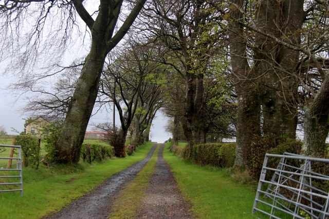
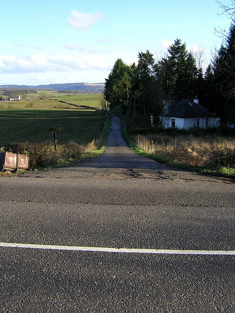
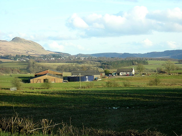
Balfron Station is a small village located in the council area of Stirlingshire, Scotland. Situated approximately 19 miles north-west of Stirling, it is nestled in the picturesque countryside of the Endrick Valley. The village takes its name from the nearby Balfron Hill, which offers stunning panoramic views of the surrounding landscape.

Originally developed as a railway station in the late 19th century, Balfron Station is now primarily a residential area. The village is characterized by its charming Victorian and Edwardian architecture, which can be seen in the traditional stone-built houses that line the streets. The village also benefits from its proximity to the nearby town of Balfron, which provides a range of amenities including shops, schools, and healthcare facilities.

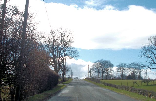
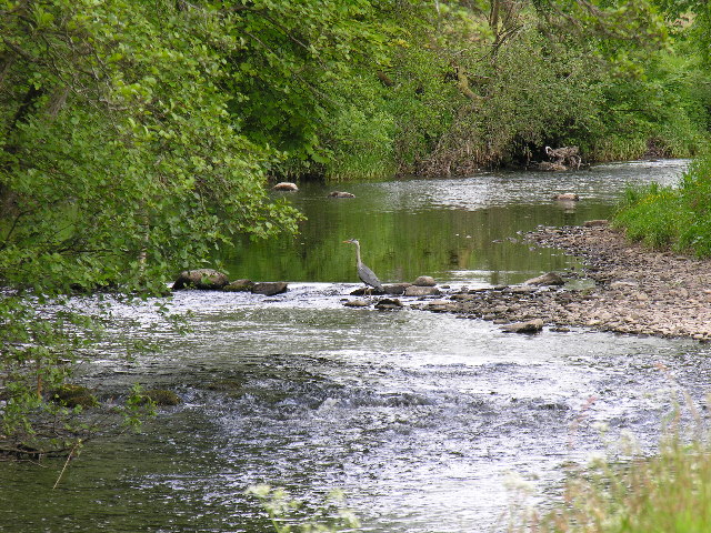
Nature enthusiasts are drawn to Balfron Station due to its close proximity to Loch Lomond and The Trossachs National Park, one of Scotland's most iconic natural landscapes. The park offers a plethora of outdoor activities, including hiking, cycling, and water sports, making Balfron Station an ideal base for exploring this stunning area.

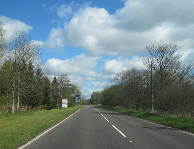
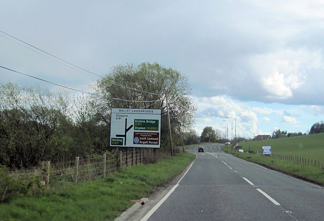
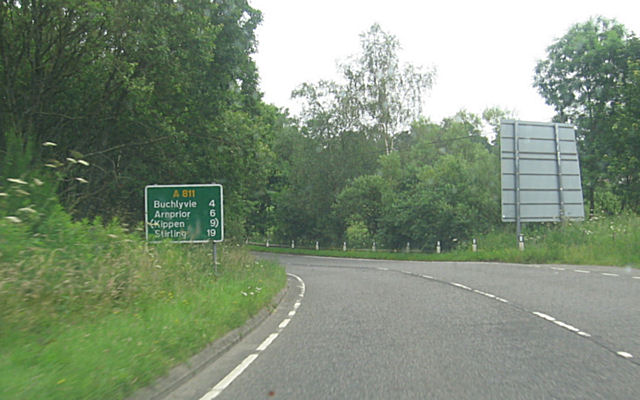
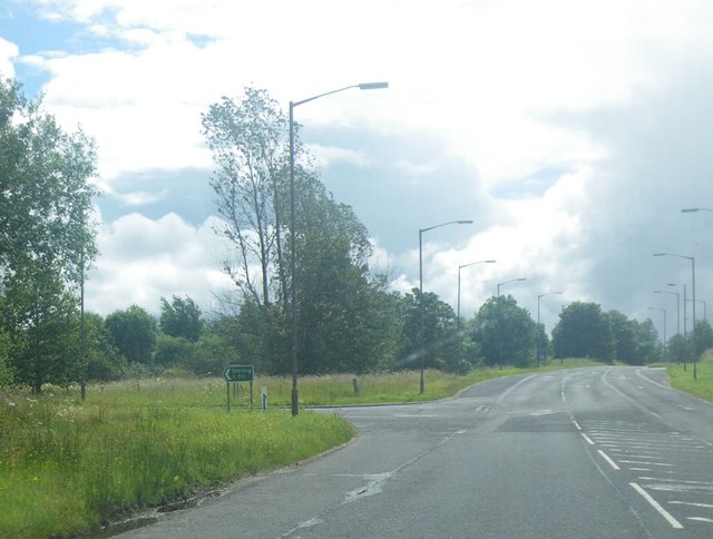
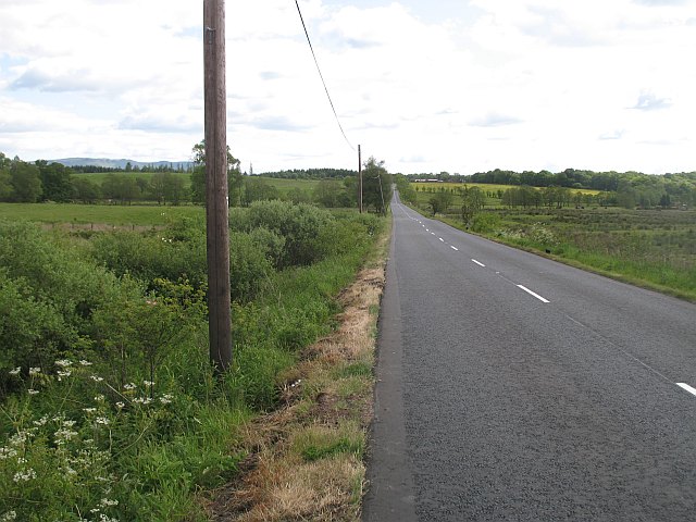
Transport links to Balfron Station are convenient, with regular bus services connecting the village to surrounding towns and cities. The nearby A811 road provides easy access to Stirling, Glasgow, and Edinburgh, making it a desirable location for commuters.

In summary, Balfron Station is a picturesque village in Stirlingshire, known for its beautiful countryside, charming architecture, and its proximity to Loch Lomond and The Trossachs National Park.

If you have any feedback on the listing, please let us know in the comments section below.

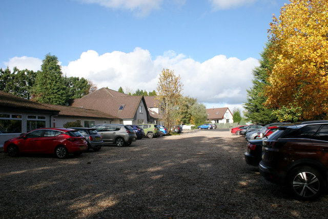
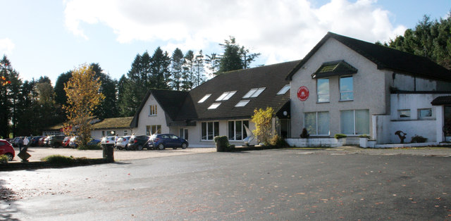
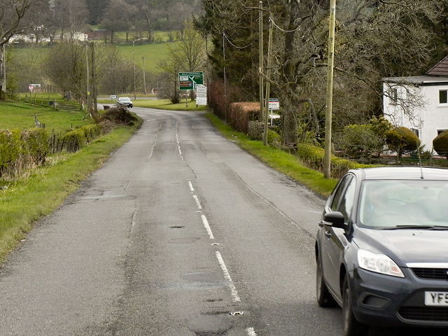
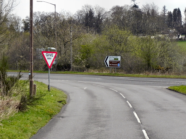
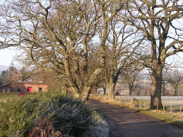
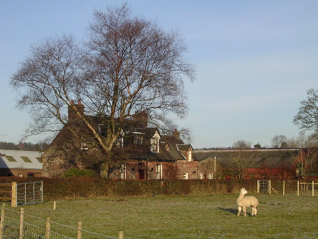
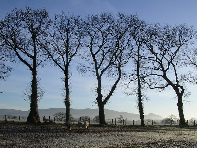
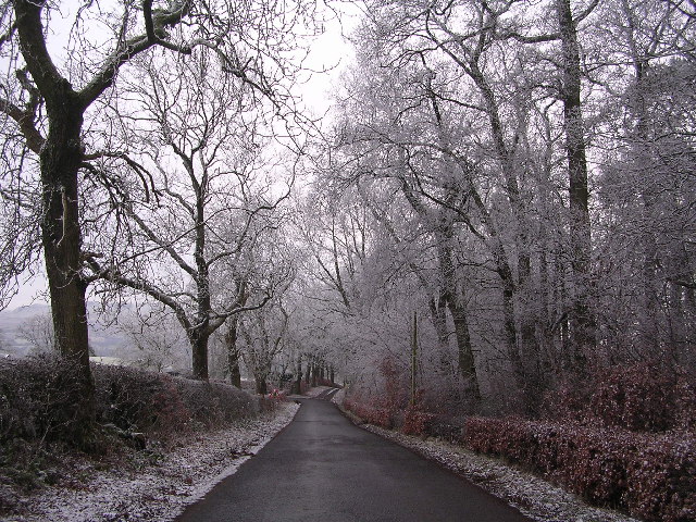
Balfron Station Images

Images are sourced within 2km of 56.070858/-4.3791395 or Grid Reference NS5289. Thanks to Geograph Open Source API. All images are credited.

Cars parked at The Aizle The cars mainly belong to patrons of the coffee shop (on the left).
Cars parked at The Aizle
The cars mainly belong to patrons of the coffee shop (on the left).
The Aizle On the left is The Aizle coffee shop and gift shop. The larger building on the right is home to John H White Architects.
The Aizle
On the left is The Aizle coffee shop and gift shop. The larger building on the right is home to John H White Architects.
Approaching The Ballat Crossroads The A811 approaching the Ballat Crossroads, a staggered crossing across the A81.
Approaching The Ballat Crossroads
The A811 approaching the Ballat Crossroads, a staggered crossing across the A81.
A811/A81 Junction (Ballat Crossroads) Although this looks like a simple road junction, it is actually part of a staggered crossroads. To continue along the A811, towards Stirling, you must first turn left onto the A81 and then after a hundreds yards or so, turn right, back onto the continuation of the A811.
A811/A81 Junction (Ballat Crossroads)
Although this looks like a simple road junction, it is actually part of a staggered crossroads. To continue along the A811, towards Stirling, you must first turn left onto the A81 and then after a hundreds yards or so, turn right, back onto the continuation of the A811.
Ballat crossroads from A81 north
Ballat crossroads from southbound A81
A811 approaching Ballat crossroads
Stirling road east from Ballat Crossroads
The A81/A811 junction The scene is along the A81 Road, with the turnoff for Stirling at image left.
The A81/A811 junction
The scene is along the A81 Road, with the turnoff for Stirling at image left.
A811 near he Aizle turn
Avenue at Templelea
Avenue at Templelea
River Endrick A walk along the Endrick on a Sunday Afternoon
River Endrick
A walk along the Endrick on a Sunday Afternoon
Home Farm Cottage, near Boquhan
Ballochruin Farm plus Llama
Paddock at Indians House, Balfron Station Campsie Fells in the background
Paddock at Indians House, Balfron Station
Campsie Fells in the background
Minor country road at Balfunning A short-cut when travelling from Drymen to Balfron Station.
Minor country road at Balfunning
A short-cut when travelling from Drymen to Balfron Station.
Road End at Lednabra Road also leads to Cairnlea
Road End at Lednabra
Road also leads to Cairnlea
Cairnlea Cairnlea viewed from A811 with Killearn and Dumgoyne in the background
Cairnlea
Cairnlea viewed from A811 with Killearn and Dumgoyne in the background
Show me another place!

Balfron Station is located at Grid Ref: NS5289 (Lat: 56.070858, Lng: -4.3791395)

Unitary Authority: Stirling

Police Authority: Forth Valley

What 3 Words

///thudded.massaging.campers. Near Balfron, Stirling

Nearby Locations

Balfron Station

Related Wikis

Balfron railway station

Balfron railway station was a railway station that served the village of Balfron in Scotland. The station was served by trains on the Strathendrick and...

A81 road

The A81 road is a major road in Scotland. It runs from Glasgow to Callander via Woodside and Maryhill within the city, as well as Bearsden, Milngavie and...

Boquhan

Boquhan (pronounced Bowhan) is a hamlet in Stirling, Scotland, sometimes known as Wester Boquhan to distinguish it from the other nearby Boquhan, near...

Balfron

Balfron (Scottish Gaelic: Both Fron) is a village in the Stirling council area of Scotland. It is situated near Endrick Water on the A875 road, 18 miles...

Nearby Amenities

Located within 500m of 56.070858,-4.3791395
Power: pole
Lat/Long: 56.0679766/-4.3731262
Power: pole
Lat/Long: 56.0706536/-4.3711683
Power: pole
Lat/Long: 56.0693199/-4.3721438
Balfron Station
Place: hamlet
Lat/Long: 56.0742213/-4.3752515
Post Box
Post Box Type: pillar
Royal Cypher: GR
Royal Cypher Wikidata: Q33102273
Lat/Long: 56.074268/-4.3779274
Dunroamin Heliport
Aeroway: heliport
Alt Name: Stratharden House
Operator: Skyhook Helicopters
Source: http://www.ukairfieldguide.net/airfields/Stratharden-House
Lat/Long: 56.0710155/-4.3785149
Shelter
Shelter Type: public_transport
Lat/Long: 56.0740796/-4.3776294
Telephone
Defibrillator
Booth: K6
Covered: booth
Defibrillator Location: inside red phone box on Indians Road, Balfron Station
Emergency: defibrillator
Man Made: telephone_box
Lat/Long: 56.0740938/-4.377679
Power: pole
Lat/Long: 56.0734188/-4.385238
Power: pole
Lat/Long: 56.0735553/-4.384031
Power: pole
Lat/Long: 56.0736721/-4.3829412
Power: pole
Lat/Long: 56.0741613/-4.381841
Power: pole
Lat/Long: 56.0745815/-4.3810189
Power: pole
Lat/Long: 56.0750275/-4.380201
Power: pole
Lat/Long: 56.0751991/-4.3801048
Power: pole
Lat/Long: 56.0751676/-4.3789439
Material: wood
Power: pole
Lat/Long: 56.0749633/-4.3775278
Power: pole
Lat/Long: 56.0748057/-4.3765635
Power: pole
Lat/Long: 56.074585/-4.3751997
Power: pole
Lat/Long: 56.0742161/-4.3746914
Power: pole
Lat/Long: 56.0744414/-4.3755783
The data included in this document is from www.openstreetmap.org. The data is made available under ODbL.

Have you been to Balfron Station?

Leave your review of Balfron Station below (or comments, questions and feedback).