Middle Field

Downs, Moorland in Lincolnshire South Kesteven

England

Middle Field

Tallington Lakes from a boat A different view of the lakes.
Tallington Lakes from a boat Credit: Grant Baker

Middle Field, Lincolnshire is a region located in the eastern part of England, known for its diverse landscape consisting of downs and moorland. Situated in the county of Lincolnshire, Middle Field is surrounded by picturesque countryside, making it an attractive destination for nature enthusiasts and outdoor adventurers.

The downs of Middle Field are characterized by gently rolling hills and wide open spaces, offering stunning panoramic views of the surrounding area. The downs are home to a variety of plant and animal species, including wildflowers, grasses, and a range of bird species. Visitors can enjoy leisurely walks or hikes through the downs, taking in the peaceful and serene atmosphere.

On the other hand, the moorland in Middle Field provides a more rugged and untamed landscape. This area is characterized by open expanses of heather, grasses, and scattered bushes. Moorland is home to a diverse range of wildlife, such as grouse, curlews, and wild deer, making it an ideal location for birdwatching and wildlife spotting.

Middle Field offers a range of recreational activities for visitors to enjoy. The downs and moorland provide ample opportunities for hiking, cycling, and horseback riding, with numerous trails and paths to explore. The region also boasts several nature reserves and protected areas, allowing visitors to experience the beauty of the natural environment while respecting its conservation.

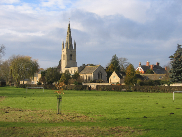
In addition to its natural beauty, Middle Field is also home to several charming villages and towns, where visitors can explore local shops, cafes, and historic landmarks. The region's rich cultural heritage is evident in its architecture and traditions, providing a unique and authentic experience for visitors.

Overall, Middle Field, Lincolnshire is a captivating destination that offers a diverse range of landscapes, from the gentle downs to the wild moorland. Whether seeking tranquility in nature or exploring the local culture, Middle Field has something to offer for every visitor.

If you have any feedback on the listing, please let us know in the comments section below.
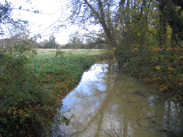
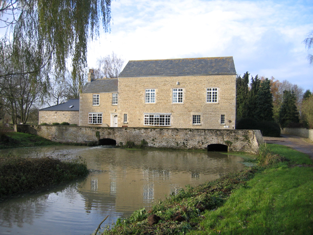
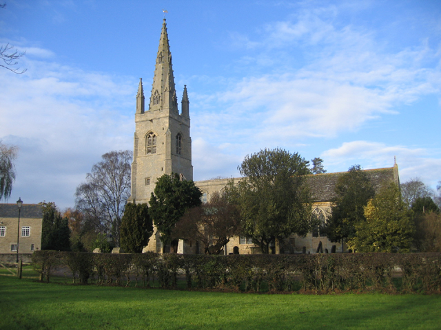
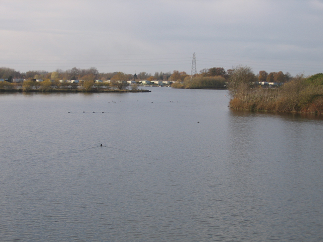
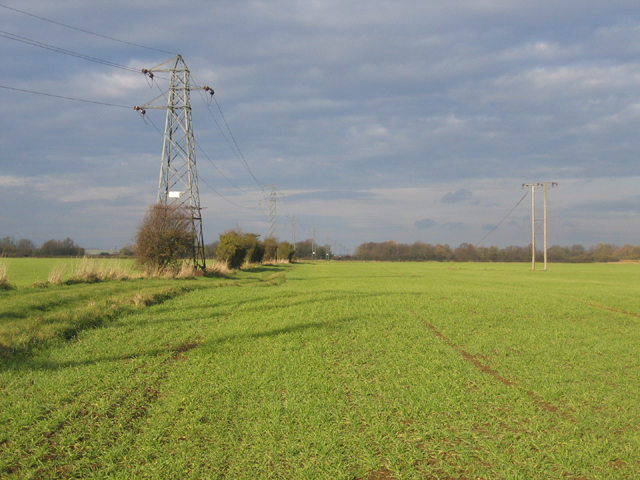
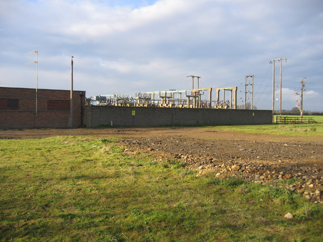
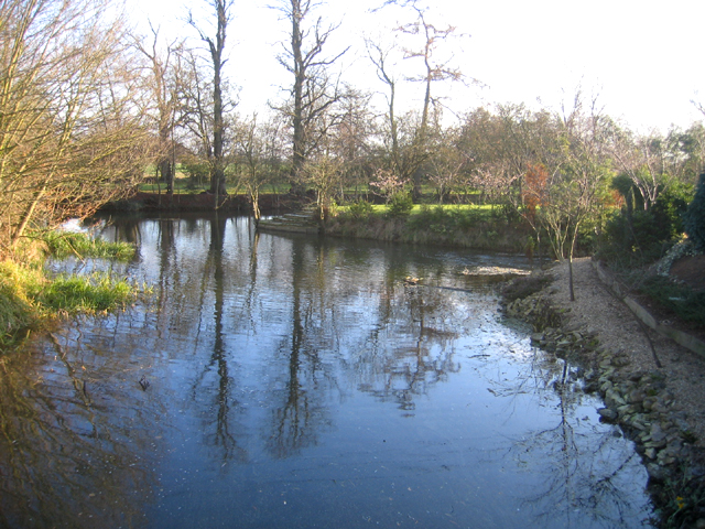
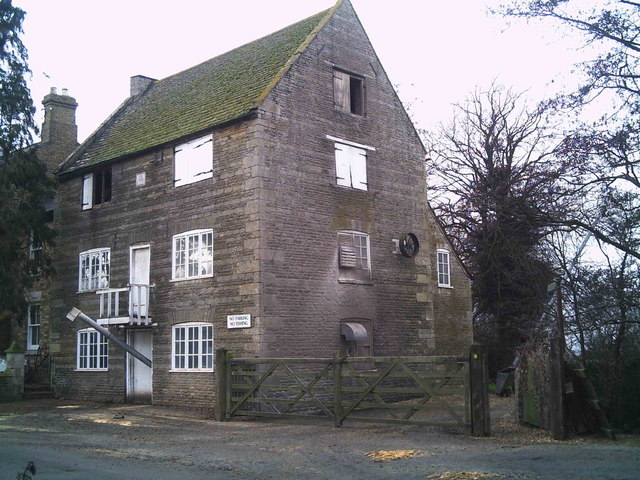
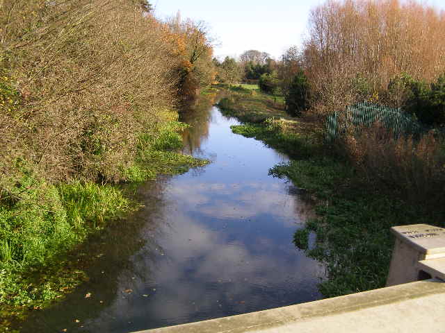
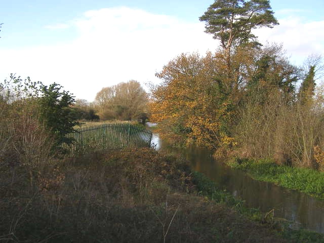
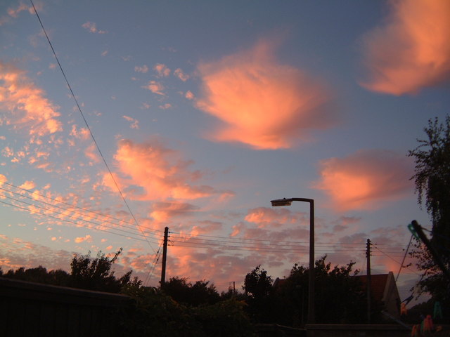
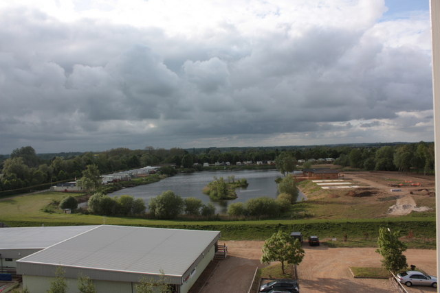
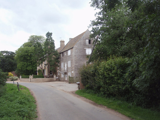
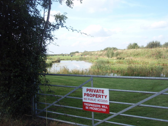
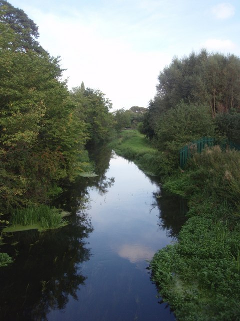
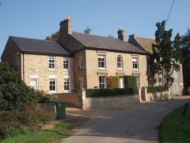
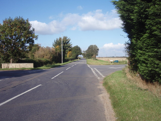
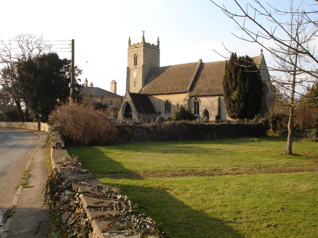
Middle Field Images

Images are sourced within 2km of 52.676284/-0.35283804 or Grid Reference TF1110. Thanks to Geograph Open Source API. All images are credited.

Tallington Lakes from a boat A different view of the lakes.
Tallington Lakes from a boat
A different view of the lakes.
Distributary of the River Welland – view E near the Lincs–Peterborough border.
Distributary of the River Welland
– view E near the Lincs–Peterborough border.
West Deeping parish church, Lincs – view from King Street Roman Road across the meadows of the River Welland.
West Deeping parish church, Lincs
– view from King Street Roman Road across the meadows of the River Welland.
The Mill, West Deeping, Lincs – built in the early 19th century although there was a water mill on this site for many centuries previously.
The Mill, West Deeping, Lincs
– built in the early 19th century although there was a water mill on this site for many centuries previously.
West Deeping parish church, Lincs The church is dedicated to St Andrew and tower and spire were probably built around 1370; restored in 1874–77.
West Deeping parish church, Lincs
The church is dedicated to St Andrew and tower and spire were probably built around 1370; restored in 1874–77.
Tallington Lakes, Lincs View W of the water-filled gravel pits with leisure development along the far bank.
Tallington Lakes, Lincs
View W of the water-filled gravel pits with leisure development along the far bank.
Farmland north of West Deeping, Lincs – view N through 'Middle Field'.
Farmland north of West Deeping, Lincs
– view N through 'Middle Field'.
Electricity sub-station, West Deeping, Lincs
River scene, Market Deeping, Lincs Landscaped gardens beside a branch of the River Welland; view SE from the A16 bridge.
River scene, Market Deeping, Lincs
Landscaped gardens beside a branch of the River Welland; view SE from the A16 bridge.
Maxey Mill Maxey Mill is still in use -- milling animal feeds. The Mill pond sluice passes under the mill. A couple of ancient mill stones are propped up against the rear wall, perhaps as a reminder of how grain was ground into flour in the past.
Maxey Mill
Maxey Mill is still in use -- milling animal feeds. The Mill pond sluice passes under the mill. A couple of ancient mill stones are propped up against the rear wall, perhaps as a reminder of how grain was ground into flour in the past.
River Welland from the A15 bridge This view is looking east from the modern bridge over the River Welland close to the roundabout where the A15 and A16 intersect: Market Deeping bypass.
River Welland from the A15 bridge
This view is looking east from the modern bridge over the River Welland close to the roundabout where the A15 and A16 intersect: Market Deeping bypass.
River Welland from A15 bridge The presently sluggish River Welland as seen from the A15 roadbridge, looking west.
River Welland from A15 bridge
The presently sluggish River Welland as seen from the A15 roadbridge, looking west.
Red Clouds
Red Clouds
Tallington Lakes Tallington Lakes taken from top of climbing tower. Tallington Lakes shop + car park in the foreground
Tallington Lakes
Tallington Lakes taken from top of climbing tower. Tallington Lakes shop + car park in the foreground
The Mill at Maxey Maxey Mill, which ground grain powered by a water wheel driven by the River Welland.
The Mill at Maxey
Maxey Mill, which ground grain powered by a water wheel driven by the River Welland.
Pond beside Deeping Bypass A pond, to the right of Bell Farm, Market Deeping, dug during the construction of the Deepings Bypass.
Pond beside Deeping Bypass
A pond, to the right of Bell Farm, Market Deeping, dug during the construction of the Deepings Bypass.
River Welland The River Welland, viewed from the A15 Bridge.
River Welland
The River Welland, viewed from the A15 Bridge.
Maxey Mill Maxey Mill, and the house beside it, viewed from Mill Road.
Maxey Mill
Maxey Mill, and the house beside it, viewed from Mill Road.
Show me another place!

Middle Field is located at Grid Ref: TF1110 (Lat: 52.676284, Lng: -0.35283804)

Administrative County: Lincolnshire

District: South Kesteven

Police Authority: Lincolnshire

What 3 Words

///noting.velocity.clattered. Near Market Deeping, Lincolnshire

Nearby Locations

Middle Field Far Field

Related Wikis

West Deeping

West Deeping is a village and civil parish in the South Kesteven district of Lincolnshire, England. The population of the civil parish at the 2011 census...

King Street (Roman road)

King Street is the name of a modern road on the line of a Roman road. It runs on a straight course in eastern England, between the City of Peterborough...

Barholm

Barholm is a village in the civil parish of Barholm and Stowe, in the South Kesteven district of Lincolnshire, England. It is 2 miles (3 km) west from...

Maxey Castle

Maxey Castle was a medieval fortified manor house castle in Maxey, Cambridgeshire, England. == Details == Maxey Castle was built around the 1370s by William...

Nearby Amenities

Located within 500m of 52.676284,-0.35283804
First Field
Place: locality
Source: Bing
Lat/Long: 52.6736765/-0.3506708
Lodge Farm
Place: farm
Source: Bing
Lat/Long: 52.6778174/-0.3537771
Middle Field
Place: locality
Source: Bing
Lat/Long: 52.6752503/-0.3551175
Rectory Farm
Place: farm
Source: Bing
Lat/Long: 52.6798168/-0.3503517
The data included in this document is from www.openstreetmap.org. The data is made available under ODbL.

Have you been to Middle Field?

Leave your review of Middle Field below (or comments, questions and feedback).