Thurlby Fen

Downs, Moorland in Lincolnshire South Kesteven

England

Thurlby Fen

High Street
High Street Credit: Alex McGregor

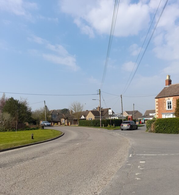
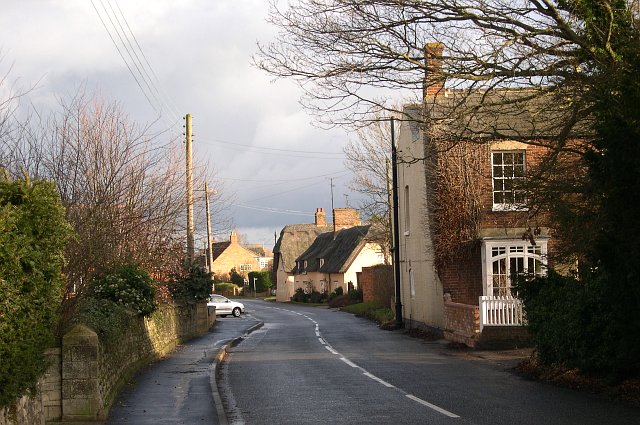
Thurlby Fen is a picturesque area located in Lincolnshire, England. This tranquil spot is known for its diverse landscape, encompassing downs, moorland, and fenland. It is situated near the village of Thurlby, offering visitors a peaceful retreat from the hustle and bustle of city life.

The downs of Thurlby Fen are characterized by rolling hills and grasslands, providing stunning panoramic views of the surrounding countryside. This area is ideal for hiking and walking, with several well-marked trails that meander through the downs. The landscape is dotted with wildflowers, creating a vibrant and colorful atmosphere during the warmer months.

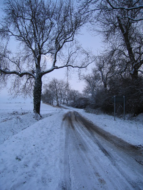
Moorland is another prominent feature of Thurlby Fen. This rugged terrain is covered with heather and gorse, creating a unique and dramatic landscape. Visitors can enjoy exploring the moorland on foot, immersing themselves in the natural beauty and observing the diverse wildlife that calls this area home.

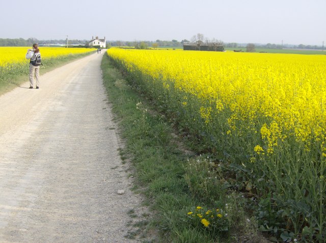
Thurlby Fen is also known for its fenland, which is characterized by wetlands and marshes. These water-rich areas provide a habitat for a wide range of plant and animal species, including rare birds and insects. Nature enthusiasts can enjoy birdwatching and wildlife spotting in the fenland, taking in the sights and sounds of this unique ecosystem.

Overall, Thurlby Fen offers a diverse and captivating landscape, making it the perfect destination for nature lovers and outdoor enthusiasts. Whether you prefer the rolling downs, rugged moorland, or tranquil fenland, this area has something to offer everyone seeking a peaceful and natural escape.

If you have any feedback on the listing, please let us know in the comments section below.
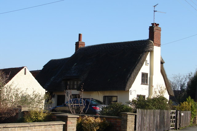
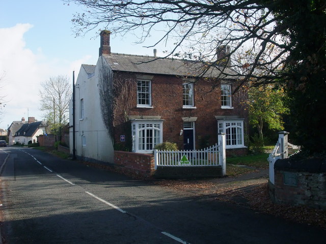
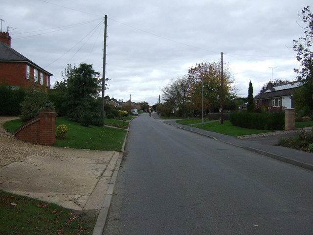
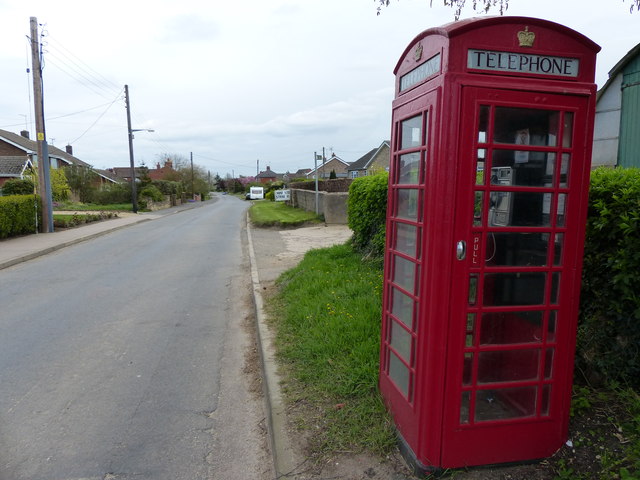
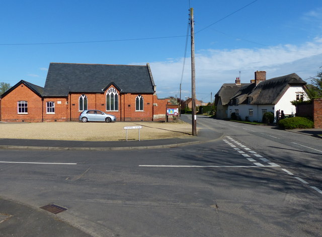
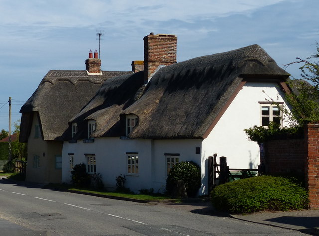
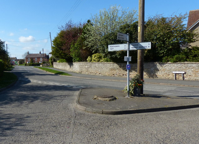
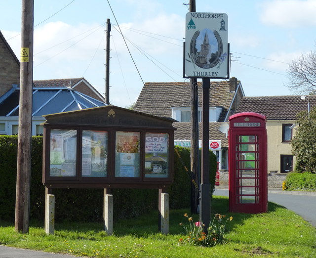
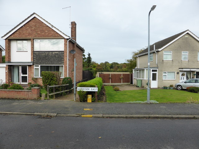
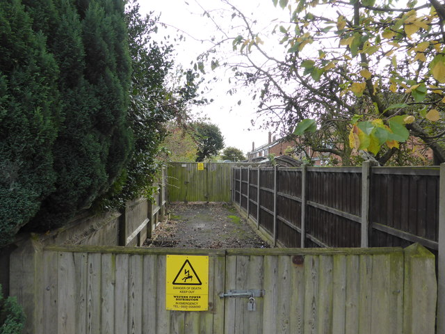
Thurlby Fen Images

Images are sourced within 2km of 52.736708/-0.350724 or Grid Reference TF1116. Thanks to Geograph Open Source API. All images are credited.

High Street
High Street
Thurlby The building in the foreground is Thurlby Youth Hostel
Thurlby
The building in the foreground is Thurlby Youth Hostel
Obthorpe Lane, looking south, Xmas 2005. It was a freezing cold day, we were perished when we'd finished our 2 mile walk around the perimeter of Thurlby !
Obthorpe Lane, looking south, Xmas 2005.
It was a freezing cold day, we were perished when we'd finished our 2 mile walk around the perimeter of Thurlby !
Approaching Obthorpe Lodge Rape planted in every direction you care to look.  This track is on the Macmillan Way long distance route from Lincolnshire to Dorset.  Obthorpe is a convenient point to finish the second day, with accommodation in nearby Thurlby.
Approaching Obthorpe Lodge
Rape planted in every direction you care to look. This track is on the Macmillan Way long distance route from Lincolnshire to Dorset. Obthorpe is a convenient point to finish the second day, with accommodation in nearby Thurlby.
Thurlby Methodist Church Meets at 10.30 every Sunday.  <span class="nowrap"><a title="http://thurlbymethodistchurch.org.uk/" rel="nofollow ugc noopener" href="http://thurlbymethodistchurch.org.uk/">Link</a><img style="margin-left:2px;" alt="External link" title="External link - shift click to open in new window" src="https://s1.geograph.org.uk/img/external.png" width="10" height="10"/></span>
Thurlby Methodist Church
Meets at 10.30 every Sunday. LinkExternal link
Thurlby Thatch One of a number of thatched cottages in Thurlby.
Thurlby Thatch
One of a number of thatched cottages in Thurlby.
Obthorpe sunset Sunset over Obthorpe Lane near Thurlby
Obthorpe sunset
Sunset over Obthorpe Lane near Thurlby
Methodist Church, Thurlby For history: <span class="nowrap"><a title="http://www.lgmethodistdistrict.org.uk/southlincs/thurlby.htm" rel="nofollow ugc noopener" href="http://www.lgmethodistdistrict.org.uk/southlincs/thurlby.htm">Link</a><img style="margin-left:2px;" alt="External link" title="External link - shift click to open in new window" src="https://s1.geograph.org.uk/img/external.png" width="10" height="10"/></span>
Methodist Church, Thurlby
For history: LinkExternal link
Thurlby Youth Hostel An increasingly rare sight! The house, Capstones, was bequeathed to the YHA by Harold Sneath in 1979, and originally earmarked for closure. But the local Councils bought the building and lease it back to the YHA. (Info from Wikipedia). The Macmillan Way runs very close to the hostel.
Thurlby Youth Hostel
An increasingly rare sight! The house, Capstones, was bequeathed to the YHA by Harold Sneath in 1979, and originally earmarked for closure. But the local Councils bought the building and lease it back to the YHA. (Info from Wikipedia). The Macmillan Way runs very close to the hostel.
Northorpe heading west Towards Thurlby.
Northorpe heading west
Towards Thurlby.
Thurlby Methodist church
Telephone box in Northorpe
Junction of Chapel Lane and High Street in Thurlby On the left is the Methodist Church.
Junction of Chapel Lane and High Street in Thurlby
On the left is the Methodist Church.
Thatched cottage on the High Street in Thurlby
Signpost in Thurlby At the junction of Obthorpe Lane and High Street.
Signpost in Thurlby
At the junction of Obthorpe Lane and High Street.
The Green in Thurlby
Footpath to Elsea Wood A small gap between the houses in Northorpe leads to a footpath over the fields to the nearby woodland.
Footpath to Elsea Wood
A small gap between the houses in Northorpe leads to a footpath over the fields to the nearby woodland.
Substation track The placement of the electricity substation in Woodside, Northorpe, is rather odd.  It is among the houses, meaning that this short gated drive has had to be left to provide access to it.
Substation track
The placement of the electricity substation in Woodside, Northorpe, is rather odd. It is among the houses, meaning that this short gated drive has had to be left to provide access to it.
Show me another place!

Thurlby Fen is located at Grid Ref: TF1116 (Lat: 52.736708, Lng: -0.350724)

Administrative County: Lincolnshire

District: South Kesteven

Police Authority: Lincolnshire

What 3 Words

///slot.swoop.stored. Near Thurlby, Lincolnshire

Nearby Locations

Thurlby Fen

Related Wikis

Thurlby, South Kesteven

Thurlby is a village and civil parish in the South Kesteven district of Lincolnshire, England. It is situated just west of the A15 road, 2 miles (3 km...

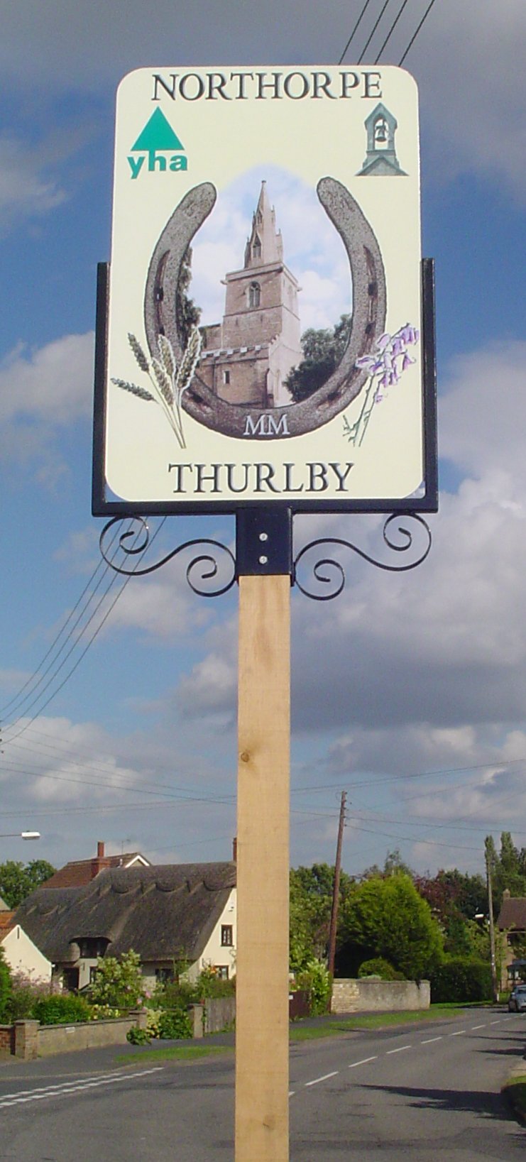
Northorpe, South Kesteven

Northorpe is a hamlet in the civil parish of Thurlby (to which it is conjoined), in the South Kesteven district of Lincolnshire, England. It is situated...

Thetford, Lincolnshire

Thetford is a hamlet and farm in the civil parish of Baston in the South Kesteven district of Lincolnshire, England. Although Thetford has shrunken to...

Kates Bridge

Kates Bridge is a landmark settlement on the A15 road, in the parish of Thurlby. It is approximately 3 miles (5 km) south from Bourne, Lincolnshire, England...

Nearby Amenities

Located within 500m of 52.736708,-0.350724
Thurlby Fen
Place: locality
Source: Bing
Lat/Long: 52.7389588/-0.3493942
Thurlby Fen Farm
Place: farm
Lat/Long: 52.7339987/-0.3507605
Waste Basket
Lat/Long: 52.7388519/-0.3476814
Fen Farm Cottages
Place: isolated_dwelling
Lat/Long: 52.7343994/-0.3505286
Noexit: yes
Lat/Long: 52.7344212/-0.3506887
The data included in this document is from www.openstreetmap.org. The data is made available under ODbL.

Have you been to Thurlby Fen?

Leave your review of Thurlby Fen below (or comments, questions and feedback).