Far Field

Downs, Moorland in Lincolnshire South Kesteven

England

Far Field

Greatford Cut, Barholm to Stowe road
Greatford Cut, Barholm to Stowe road Credit: Bill Dunnakey

Far Field, located in Lincolnshire, is a diverse and picturesque area that encompasses both downs and moorland landscapes. With its vast expanses of open spaces and rolling hills, it offers a stunning and idyllic natural setting.

The downs of Far Field are characterized by their gently sloping hills and grassy plains. These areas are often home to a variety of wildflowers and grazing livestock, adding to the scenic beauty of the region. The downs also provide excellent opportunities for outdoor activities such as hiking, picnicking, and nature watching.

In contrast, the moorland in Far Field offers a more rugged and wild environment. Here, visitors can enjoy exploring heather-covered hills and rocky outcrops. The moorland is a haven for various bird species and provides a unique habitat for a range of wildlife, including deer, foxes, and rabbits. It is a popular destination for nature enthusiasts and birdwatchers.

Far Field is known for its peaceful and tranquil atmosphere, making it a perfect retreat for those seeking a break from the hustle and bustle of city life. The scenic beauty of the area, combined with its rich biodiversity, makes it an appealing destination for both locals and tourists alike.

Visitors to Far Field can also explore nearby attractions, including charming villages, historical landmarks, and nature reserves. The area is well-connected with a network of walking trails and public footpaths, allowing visitors to explore the region at their own pace and discover its hidden gems.

In summary, Far Field in Lincolnshire offers a diverse and captivating natural landscape, with its downs and moorland providing a stunning backdrop for outdoor activities and wildlife exploration.

If you have any feedback on the listing, please let us know in the comments section below.
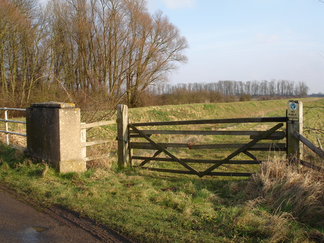
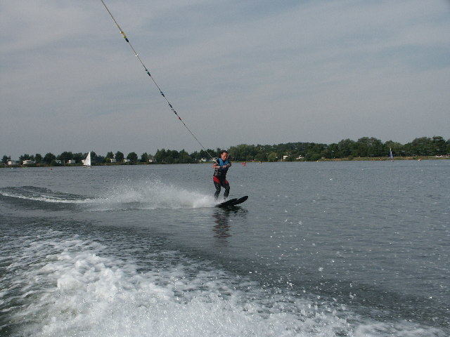
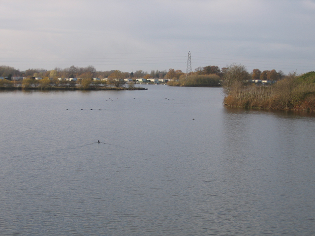
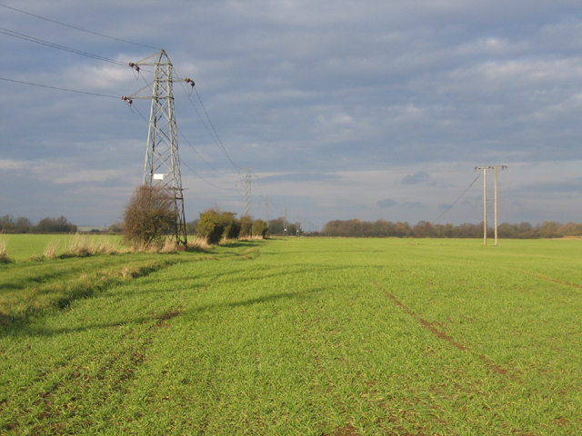
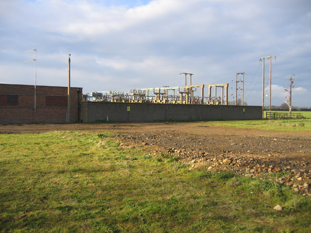
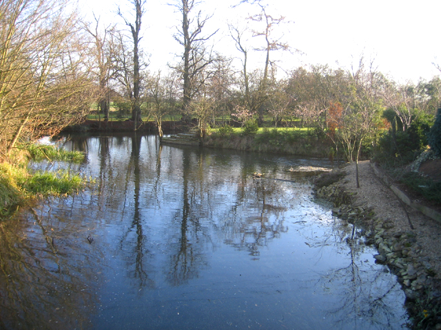
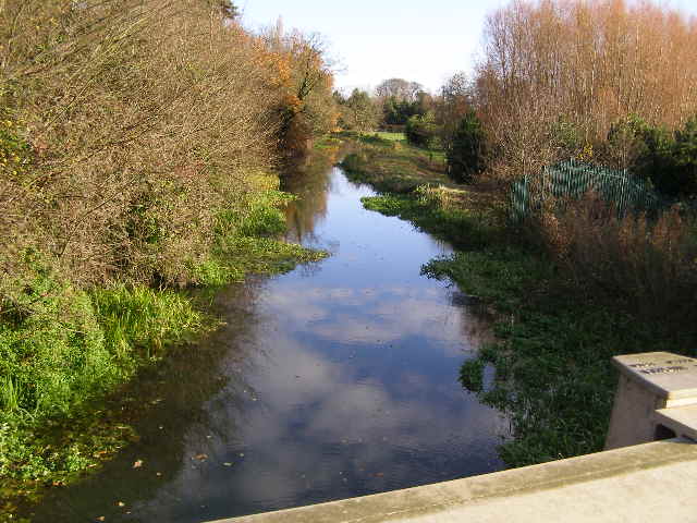
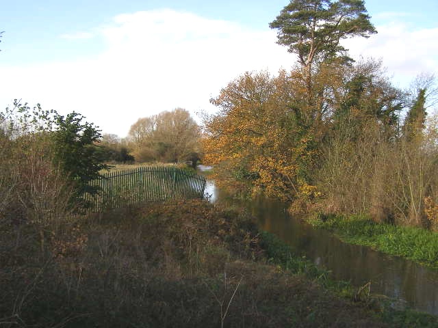
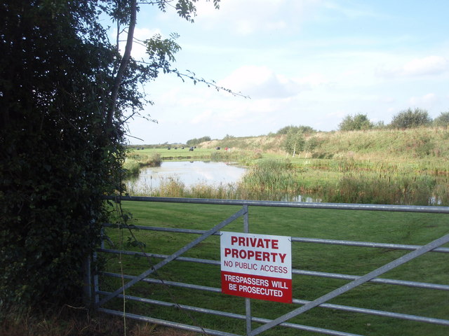
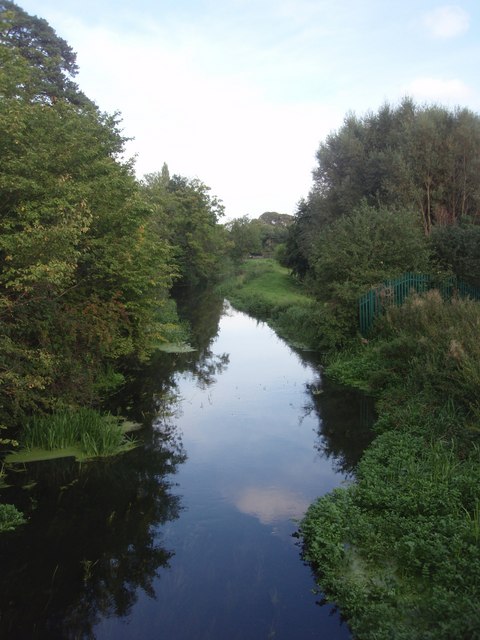
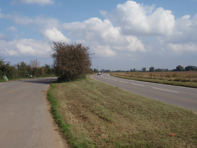
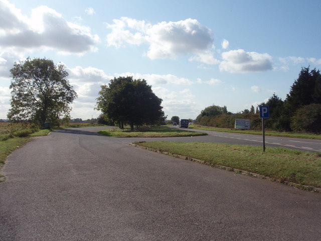
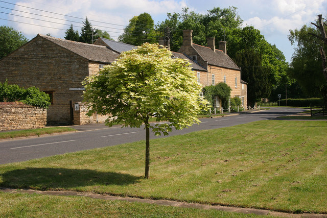
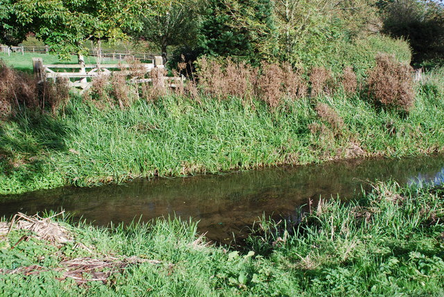
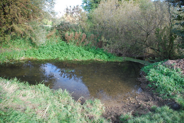
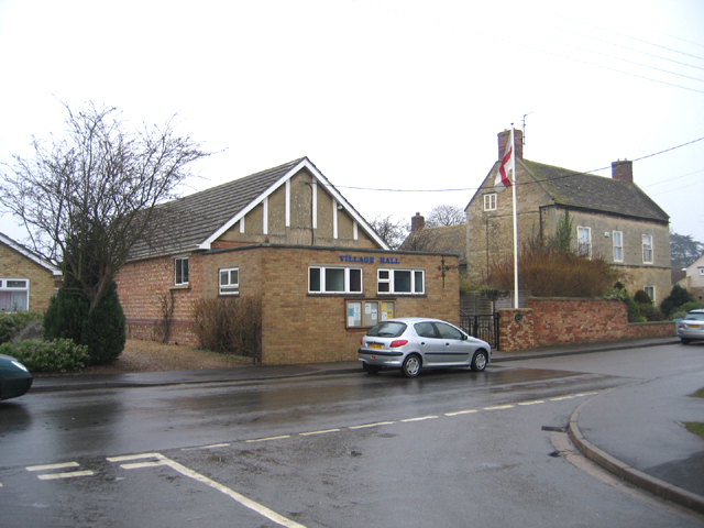
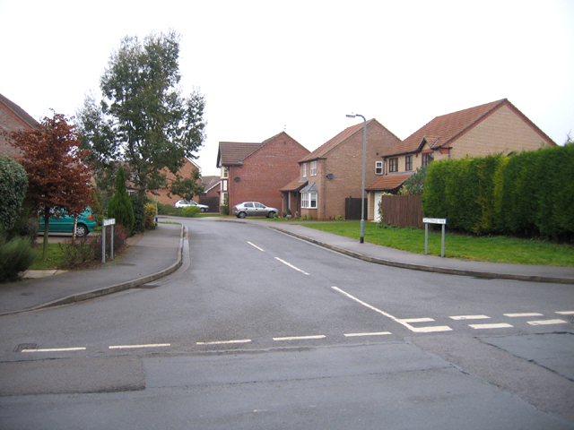
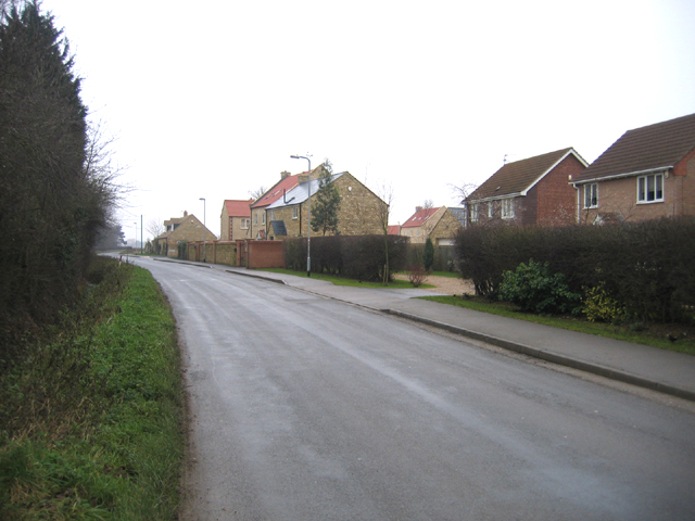
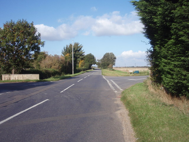
Far Field Images

Images are sourced within 2km of 52.681669/-0.35022411 or Grid Reference TF1110. Thanks to Geograph Open Source API. All images are credited.

Greatford Cut, Barholm to Stowe road
Tallington Lakes from a boat A different view of the lakes.
Tallington Lakes from a boat
A different view of the lakes.
Tallington Lakes, Lincs View W of the water-filled gravel pits with leisure development along the far bank.
Tallington Lakes, Lincs
View W of the water-filled gravel pits with leisure development along the far bank.
Farmland north of West Deeping, Lincs – view N through 'Middle Field'.
Farmland north of West Deeping, Lincs
– view N through 'Middle Field'.
Electricity sub-station, West Deeping, Lincs
River scene, Market Deeping, Lincs Landscaped gardens beside a branch of the River Welland; view SE from the A16 bridge.
River scene, Market Deeping, Lincs
Landscaped gardens beside a branch of the River Welland; view SE from the A16 bridge.
River Welland from the A15 bridge This view is looking east from the modern bridge over the River Welland close to the roundabout where the A15 and A16 intersect: Market Deeping bypass.
River Welland from the A15 bridge
This view is looking east from the modern bridge over the River Welland close to the roundabout where the A15 and A16 intersect: Market Deeping bypass.
River Welland from A15 bridge The presently sluggish River Welland as seen from the A15 roadbridge, looking west.
River Welland from A15 bridge
The presently sluggish River Welland as seen from the A15 roadbridge, looking west.
Pond beside Deeping Bypass A pond, to the right of Bell Farm, Market Deeping, dug during the construction of the Deepings Bypass.
Pond beside Deeping Bypass
A pond, to the right of Bell Farm, Market Deeping, dug during the construction of the Deepings Bypass.
River Welland The River Welland, viewed from the A15 Bridge.
River Welland
The River Welland, viewed from the A15 Bridge.
Lay-by and A16 A lay-by along Stamford Road (A16) at West Deeping, towards Market Deeping.
Lay-by and A16
A lay-by along Stamford Road (A16) at West Deeping, towards Market Deeping.
Lay-by, West Deeping A lay-by in West Deeping.
Lay-by, West Deeping
A lay-by in West Deeping.
King Street, West Deeping
Ford on the Lincolnshire Border at Market Deeping This ford is found just off the footpath to Market Deeping close to the main A15.
Ford on the Lincolnshire Border at Market Deeping
This ford is found just off the footpath to Market Deeping close to the main A15.
Ford at Market Deeping This is the second ford close to the Lincolnshire border at Market Deeping and adjacent to the River Welland.
Ford at Market Deeping
This is the second ford close to the Lincolnshire border at Market Deeping and adjacent to the River Welland.
Village Hall, Langtoft, Lincs located in West End.
Village Hall, Langtoft, Lincs
located in West End.
Westfield Way, Langtoft, Lincs from Stowe Road, a housing development to the SW of the village.
Westfield Way, Langtoft, Lincs
from Stowe Road, a housing development to the SW of the village.
Stowe Road, Langtoft, Lincs view SW out of the village.
Stowe Road, Langtoft, Lincs
view SW out of the village.
Show me another place!

Far Field is located at Grid Ref: TF1110 (Lat: 52.681669, Lng: -0.35022411)

Administrative County: Lincolnshire

District: South Kesteven

Police Authority: Lincolnshire

What 3 Words

///gender.envisage.unique. Near Langtoft, Lincolnshire

Nearby Locations

Middle Field Far Field

Related Wikis

King Street (Roman road)

King Street is the name of a modern road on the line of a Roman road. It runs on a straight course in eastern England, between the City of Peterborough...

West Deeping

West Deeping is a village and civil parish in the South Kesteven district of Lincolnshire, England. The population of the civil parish at the 2011 census...

St Guthlac's Church, Market Deeping

Saint Guthlac's Church, Market Deeping is a parish church of the Church of England in Market Deeping, Lincolnshire, England. == Background == The largely...

Langtoft, Lincolnshire

Langtoft is a village and civil parish in the South Kesteven district of Lincolnshire, England. The population of the civil parish at the 2021 census was...

Nearby Amenities

Located within 500m of 52.681669,-0.35022411
Far Field
Place: locality
Source: Bing
Lat/Long: 52.6816582/-0.3526367
Lodge Farm
Place: farm
Source: Bing
Lat/Long: 52.6778174/-0.3537771
Rectory Farm
Place: farm
Source: Bing
Lat/Long: 52.6798168/-0.3503517
Barrier: kissing_gate
Foot: designated
Motor Vehicle: no
Lat/Long: 52.6838177/-0.3495585
The data included in this document is from www.openstreetmap.org. The data is made available under ODbL.

Have you been to Far Field?

Leave your review of Far Field below (or comments, questions and feedback).