Haverholme Park
Downs, Moorland in Lincolnshire North Kesteven
England
Haverholme Park
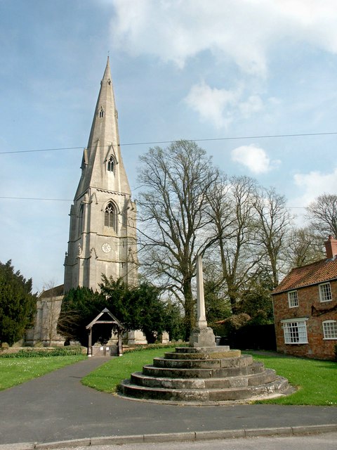
Haverholme Park is a picturesque nature reserve located in Lincolnshire, England. Situated in the heart of the county, the park spans across an area of approximately 250 acres and is renowned for its stunning landscapes and diverse wildlife.
The park is characterized by its unique topography, encompassing both downs and moorland. The downs are gently rolling hills covered in lush green grass, while the moorland consists of open expanses of heather and bracken. These contrasting terrains create a captivating and ever-changing scenery throughout the year.
Haverholme Park is home to a wide variety of flora and fauna. The park's woodlands are filled with ancient oak and ash trees, providing a habitat for numerous bird species including woodpeckers, owls, and thrushes. The meadows and fields are adorned with wildflowers, attracting butterflies and bees.
The park also boasts several bodies of water, including a large lake and a river. These aquatic habitats are home to a plethora of water birds such as swans, ducks, and herons. The lake is a popular spot for fishing enthusiasts, offering a tranquil setting to cast a line and enjoy the serenity of nature.
Visitors to Haverholme Park can explore its extensive network of walking trails, which wind through the different landscapes and offer breathtaking views of the surrounding countryside. The park is also equipped with picnic areas, making it a perfect destination for a family day out or a peaceful retreat from the bustle of city life.
Overall, Haverholme Park is a haven for nature lovers, offering a diverse range of ecosystems and an abundance of wildlife to discover and appreciate.
If you have any feedback on the listing, please let us know in the comments section below.
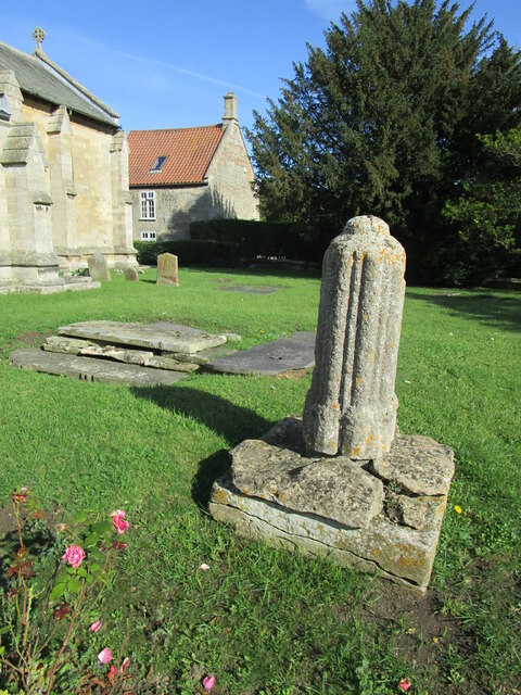
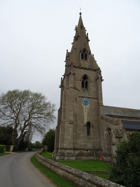
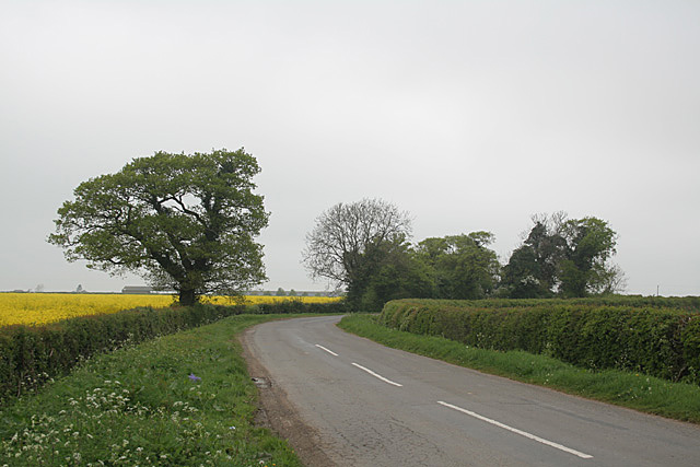
Haverholme Park Images
Images are sourced within 2km of 53.026943/-0.35264639 or Grid Reference TF1049. Thanks to Geograph Open Source API. All images are credited.


Haverholme Park is located at Grid Ref: TF1049 (Lat: 53.026943, Lng: -0.35264639)
Administrative County: Lincolnshire
District: North Kesteven
Police Authority: Lincolnshire
What 3 Words
///denim.princely.solids. Near Ruskington, Lincolnshire
Nearby Locations
Related Wikis
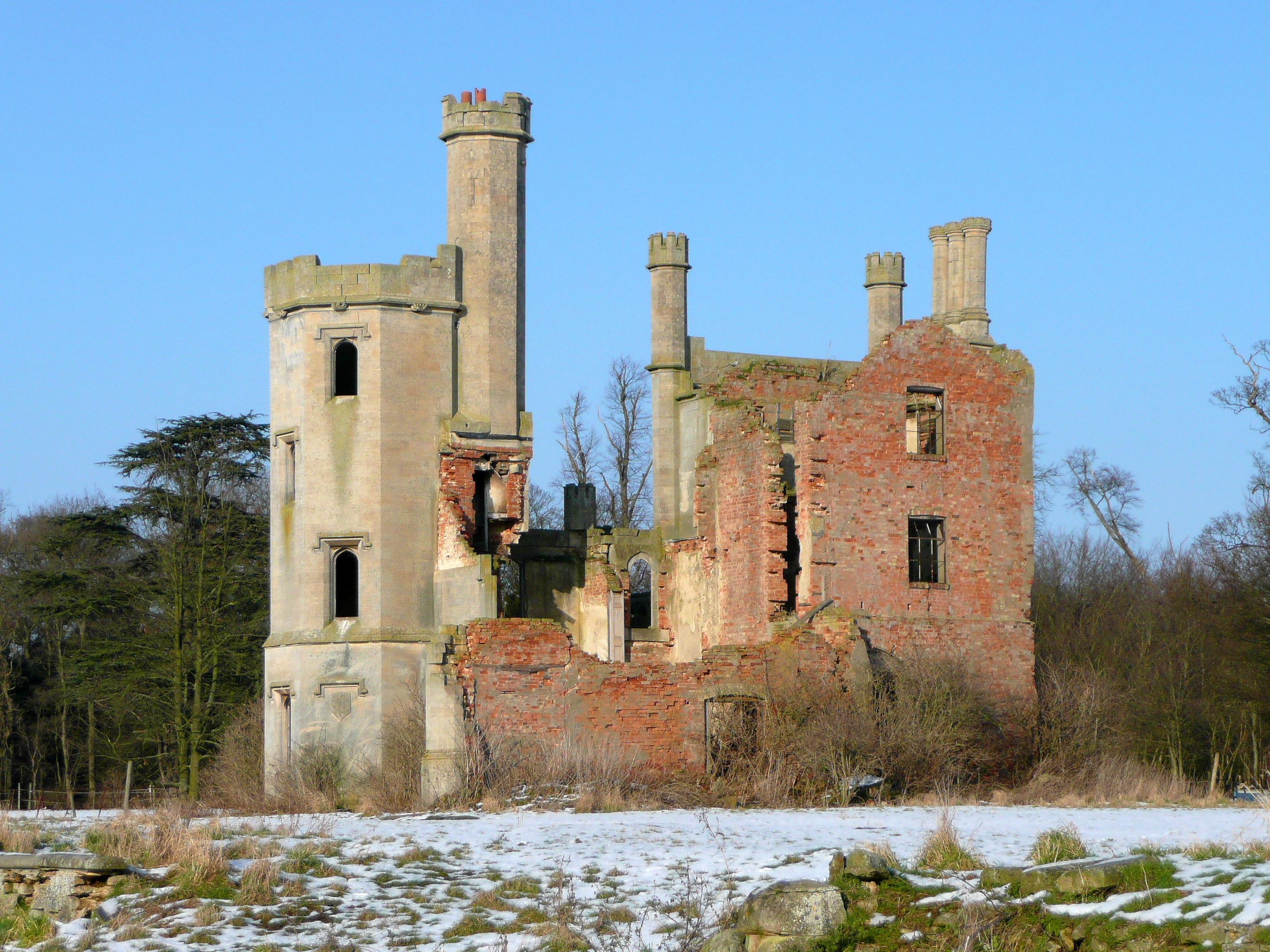
Haverholme Priory
Haverholme Priory was a monastery in Lincolnshire, England. Its remains are situated 4 miles (6 km) north-east of the town of Sleaford and less than 1...

Haverholme
Haverholme is a hamlet and site of Haverholme Priory in the North Kesteven district of Lincolnshire, England. It is situated about 4 miles (6 km) north...

Sleaford Rural District
Sleaford was a rural district in Lincolnshire, Parts of Kesteven, England, from 1894 to 1931. It was created by the Local Government Act 1894 based on...

Anwick
Anwick is a small village and civil parish in the North Kesteven district of Lincolnshire, England. The population of the civil parish at the 2011 census...

Evedon
Evedon is a village in the North Kesteven district of Lincolnshire, England. It is situated 2 miles (3.2 km) north-east from the town of Sleaford. In 1885...
Ewerby and Evedon
Ewerby and Evedon is a civil Parish in North Kesteven, Lincolnshire, England. It includes the villages of Ewerby and Evedon, the hamlet of Haverholme,...

RAF Anwick
Royal Air Force Anwick or more simply RAF Anwick is a former Second World War faux Royal Air Force decoy station near the village of Anwick, 21.3 mi (34...
Ewerby
Ewerby is a village in the North Kesteven district of Lincolnshire, England. It lies 3 miles (4.8 km) north-east from Sleaford and 2 miles (3.2 km) south...
Nearby Amenities
Located within 500m of 53.026943,-0.35264639Have you been to Haverholme Park?
Leave your review of Haverholme Park below (or comments, questions and feedback).