Herons Grove
Wood, Forest in Lincolnshire North Kesteven
England
Herons Grove
Herons Grove is a picturesque woodland area located in Lincolnshire, England. Nestled in the heart of the county, it is a serene and tranquil spot that is renowned for its natural beauty. The grove is primarily composed of dense, lush forests that are home to a myriad of plant and animal species.
The woodland itself covers a vast area, with tall, majestic trees dominating the landscape. Among the most prominent tree species found in Herons Grove are oak, birch, and beech. These towering trees provide a dense canopy that creates a cool and shady environment, even on the hottest of summer days.
The forest floor is rich in vegetation, adorned with a carpet of vibrant wildflowers, ferns, and mosses. This diverse ecosystem supports a wide range of wildlife, including deer, foxes, and various bird species. The grove is particularly renowned for being a haven for herons, which can often be spotted gracefully soaring through the air or perched upon the branches of the trees.
Herons Grove is a popular destination for nature enthusiasts, offering a multitude of walking trails that wind their way through the forest. These trails provide visitors with the opportunity to explore the grove's natural wonders, with occasional glimpses of small streams and ponds dotted throughout the landscape.
The grove also boasts several picnic areas and benches where visitors can relax and take in the peaceful surroundings. With its idyllic scenery and abundant wildlife, Herons Grove truly is a hidden gem in the heart of Lincolnshire.
If you have any feedback on the listing, please let us know in the comments section below.
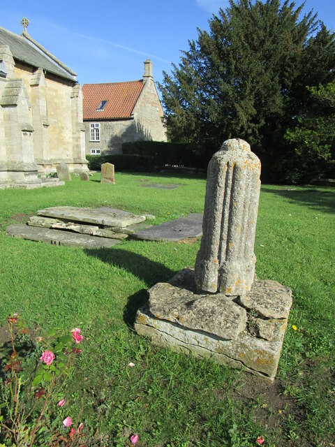
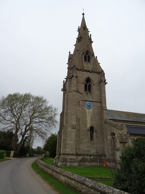
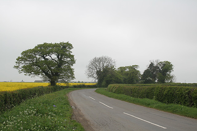
Herons Grove Images
Images are sourced within 2km of 53.027105/-0.35199903 or Grid Reference TF1049. Thanks to Geograph Open Source API. All images are credited.


Herons Grove is located at Grid Ref: TF1049 (Lat: 53.027105, Lng: -0.35199903)
Administrative County: Lincolnshire
District: North Kesteven
Police Authority: Lincolnshire
What 3 Words
///yachting.flames.tramps. Near Ruskington, Lincolnshire
Nearby Locations
Related Wikis
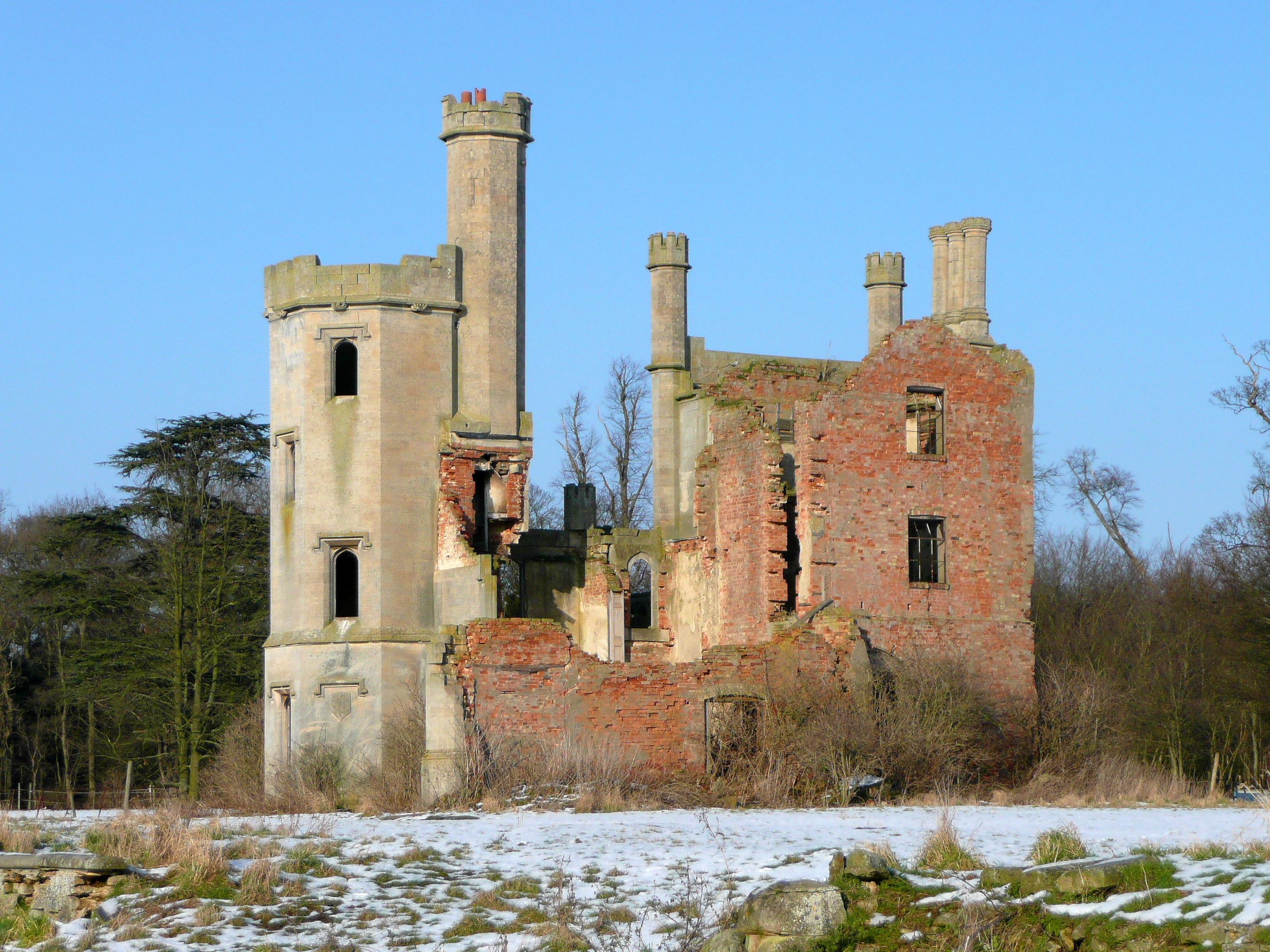
Haverholme Priory
Haverholme Priory was a monastery in Lincolnshire, England. Its remains are situated 4 miles (6 km) north-east of the town of Sleaford and less than 1...

Haverholme
Haverholme is a hamlet and site of Haverholme Priory in the North Kesteven district of Lincolnshire, England. It is situated about 4 miles (6 km) north...

Sleaford Rural District
Sleaford was a rural district in Lincolnshire, Parts of Kesteven, England, from 1894 to 1931. It was created by the Local Government Act 1894 based on...

Anwick
Anwick is a small village and civil parish in the North Kesteven district of Lincolnshire, England. The population of the civil parish at the 2011 census...
Ewerby and Evedon
Ewerby and Evedon is a civil Parish in North Kesteven, Lincolnshire, England. It includes the villages of Ewerby and Evedon, the hamlet of Haverholme,...

Evedon
Evedon is a village in the North Kesteven district of Lincolnshire, England. It is situated 2 miles (3.2 km) north-east from the town of Sleaford. In 1885...

RAF Anwick
Royal Air Force Anwick or more simply RAF Anwick is a former Second World War faux Royal Air Force decoy station near the village of Anwick, 21.3 mi (34...
Ewerby
Ewerby is a village in the North Kesteven district of Lincolnshire, England. It lies 3 miles (4.8 km) north-east from Sleaford and 2 miles (3.2 km) south...
Nearby Amenities
Located within 500m of 53.027105,-0.35199903Have you been to Herons Grove?
Leave your review of Herons Grove below (or comments, questions and feedback).