Casewick Field
Downs, Moorland in Lincolnshire South Kesteven
England
Casewick Field
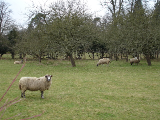
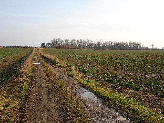
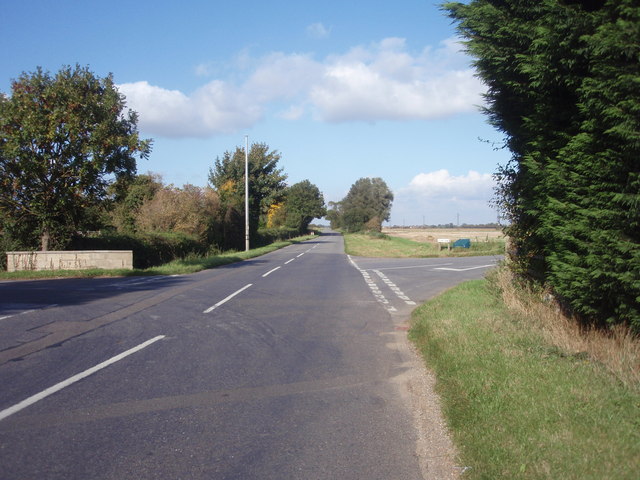
Casewick Field is a picturesque area located in Lincolnshire, England. Nestled amidst the enchanting landscape of the Downs and Moorland, it offers visitors a delightful escape into nature. Spanning approximately (insert size here), this vast field boasts an abundance of captivating features.
One of the defining characteristics of Casewick Field is its rolling topography. The undulating hills and valleys create a stunning visual panorama that is both calming and invigorating. The field is adorned with lush green grass, which serves as a haven for numerous plant and animal species.
Wildlife enthusiasts will be thrilled by the diverse range of creatures that call Casewick Field home. From small mammals like rabbits and hedgehogs to majestic birds of prey such as kestrels and buzzards, there is always something fascinating to observe. Additionally, the field is an excellent spot for birdwatching, as it attracts a variety of species throughout the year.
Visitors to Casewick Field can enjoy leisurely walks or picnics amidst the tranquil surroundings. The field is also a popular destination for outdoor activities such as kite flying, frisbee, and football. Its vast open space provides ample room for families and friends to engage in recreational pursuits.
Casewick Field is easily accessible, with well-maintained footpaths and designated parking areas. It is an ideal location for individuals seeking a peaceful retreat from the hustle and bustle of city life. Whether it's a leisurely stroll, wildlife spotting, or simply enjoying the beauty of nature, Casewick Field offers a truly enchanting experience for all who visit.
If you have any feedback on the listing, please let us know in the comments section below.
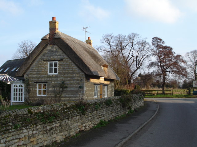
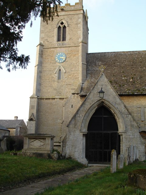
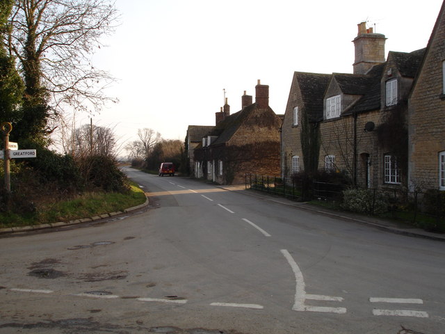
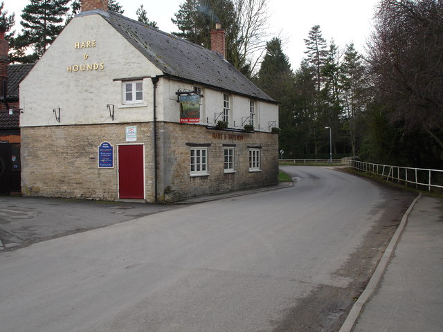
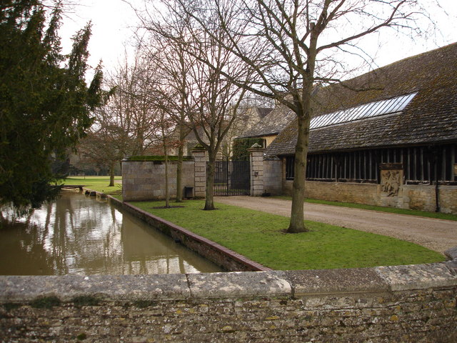
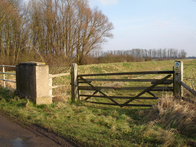
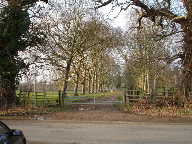
Casewick Field Images
Images are sourced within 2km of 52.678046/-0.39543238 or Grid Reference TF0810. Thanks to Geograph Open Source API. All images are credited.


Casewick Field is located at Grid Ref: TF0810 (Lat: 52.678046, Lng: -0.39543238)
Administrative County: Lincolnshire
District: South Kesteven
Police Authority: Lincolnshire
What 3 Words
///dried.frost.milder. Near Langtoft, Lincolnshire
Nearby Locations
Related Wikis
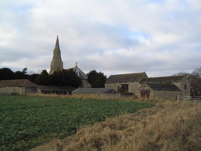
Barholm and Stowe
Barholm and Stowe is a civil parish in the South Kesteven district of Lincolnshire, England. According to the 2001 census it had a population of 87 in...

Uffington Rural District
Uffington was a rural district in Lincolnshire, Parts of Kesteven from 1894 to 1931. It was created in 1894 from that part of the Stamford rural sanitary...
Barholm
Barholm is a village in the South Kesteven district of Lincolnshire, England. It is 2 miles (3 km) west from the A15 road, and 6 miles (10 km) south from...

Greatford
Greatford is a village and civil parish in the South Kesteven district of Lincolnshire, England. It is situated 2 miles (3 km) west from the A15, 4.5 miles...

Tallington railway station
Tallington railway station was a station in Tallington, Lincolnshire on the Great Northern Railway between Grantham and Peterborough. It was closed in...

Tallington
Tallington is a village and civil parish in the South Kesteven district of Lincolnshire, England. The population of the civil parish at the 2011 census...
King Street (Roman road)
King Street is the name of a modern road on the line of a Roman road. It runs on a straight course in eastern England, between the City of Peterborough...
Braceborough
Braceborough is a village in the South Kesteven district of Lincolnshire, England. It is situated off the Stamford to Bourne A6121 road, just west of the...
Nearby Amenities
Located within 500m of 52.678046,-0.39543238Have you been to Casewick Field?
Leave your review of Casewick Field below (or comments, questions and feedback).