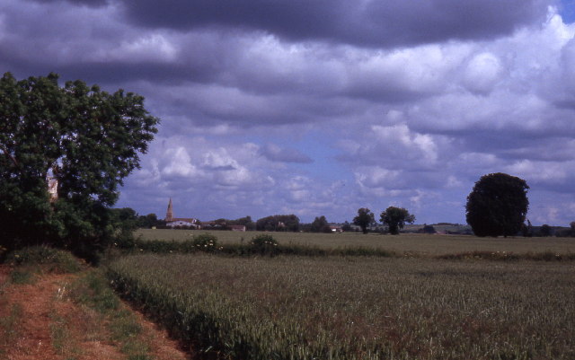
Hill Field
Downs, Moorland in Lincolnshire South Kesteven
England
Hill Field
Hill Field, located in Lincolnshire, is a picturesque region encompassing downs and moorland landscapes. Situated in the eastern part of England, this area attracts visitors with its natural beauty and diverse habitats.
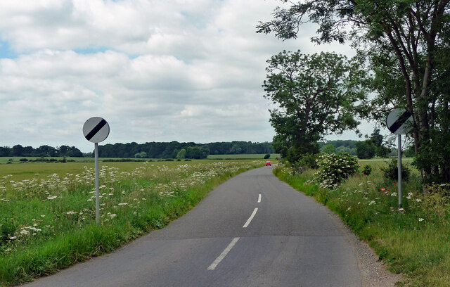
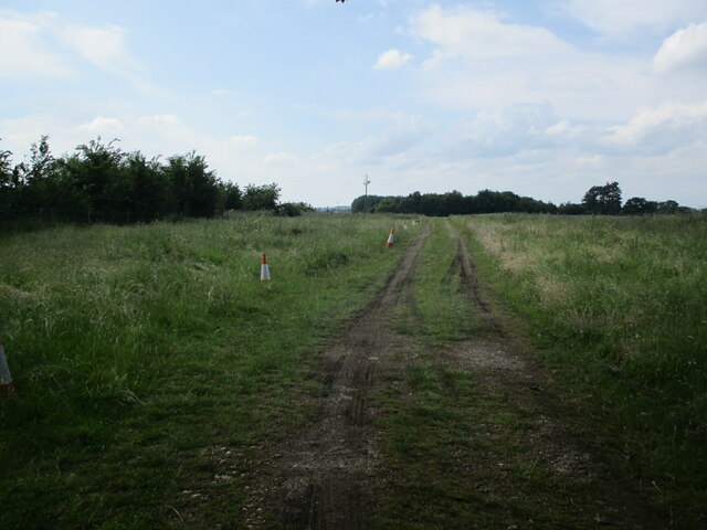
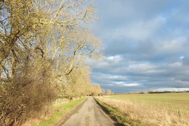
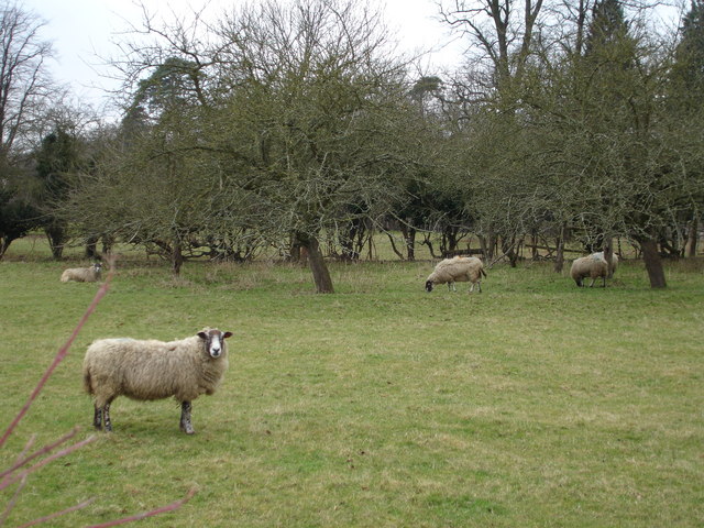
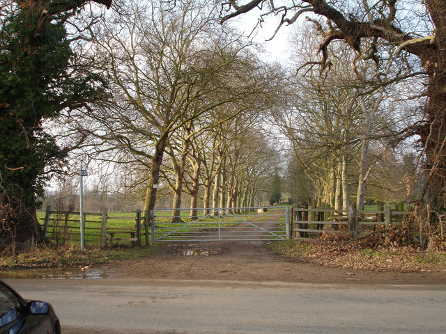
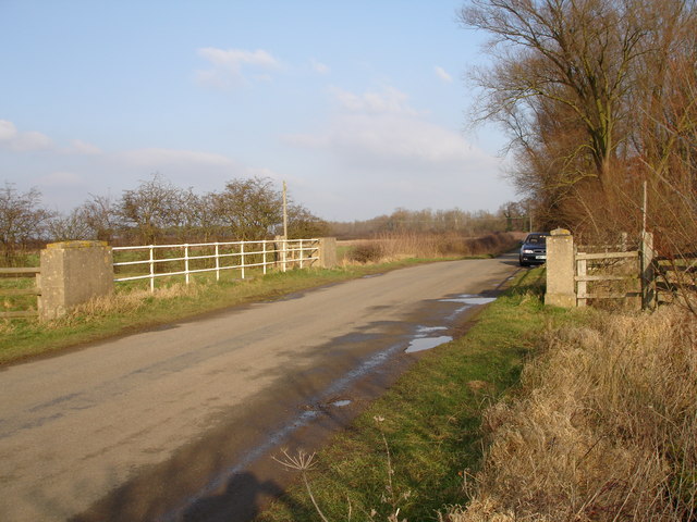
The downs of Hill Field are characterized by their gently rolling hills and expansive grasslands. These open spaces offer breathtaking panoramic views of the surrounding countryside. The downs are home to a variety of flora and fauna, including wildflowers, grasses, and small mammals. Visitors can enjoy leisurely walks or hikes through the downs, taking in the peaceful atmosphere and observing the local wildlife.
The moorland of Hill Field adds another dimension to the area's natural appeal. This rugged terrain is characterized by its rocky outcrops, heather-covered hills, and peat bogs. Moorland habitats provide a home for various bird species, such as curlews and lapwings, as well as reptiles like adders and slow worms. Walking trails and paths meander through the moorland, allowing visitors to explore its unique landscapes and discover the hidden treasures within.
Hill Field's location in Lincolnshire offers a wide range of recreational activities for nature enthusiasts. It is a popular destination for birdwatching, as the downs and moorland attract a diverse range of avian species throughout the year. Additionally, the area is ideal for photography, with its stunning vistas and ever-changing landscapes providing endless opportunities for capturing the beauty of nature.
Overall, Hill Field in Lincolnshire is a remarkable destination for those seeking to immerse themselves in the natural wonders of downs and moorland. With its varied habitats, abundant wildlife, and captivating scenery, this area offers a truly enriching experience for visitors of all ages.
If you have any feedback on the listing, please let us know in the comments section below.
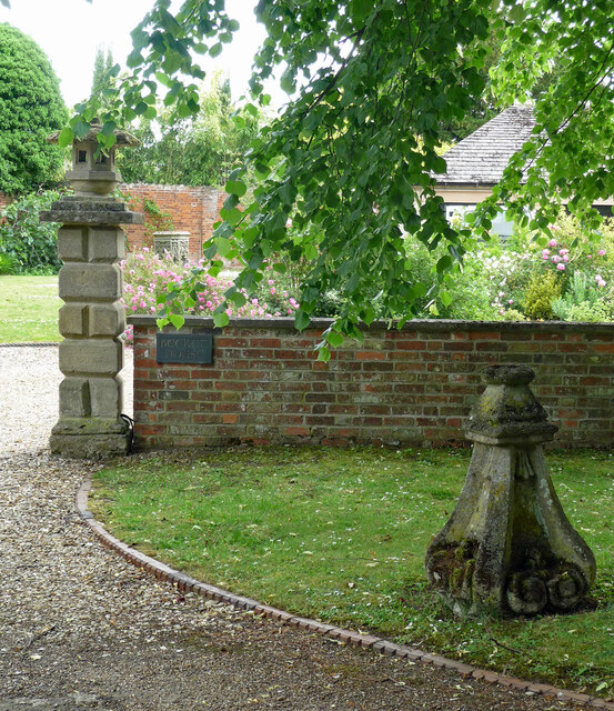
Hill Field Images
Images are sourced within 2km of 52.682565/-0.40047414 or Grid Reference TF0810. Thanks to Geograph Open Source API. All images are credited.


Hill Field is located at Grid Ref: TF0810 (Lat: 52.682565, Lng: -0.40047414)
Administrative County: Lincolnshire
District: South Kesteven
Police Authority: Lincolnshire
What 3 Words
///winded.gain.rainwater. Near Essendine, Rutland
Nearby Locations
Related Wikis
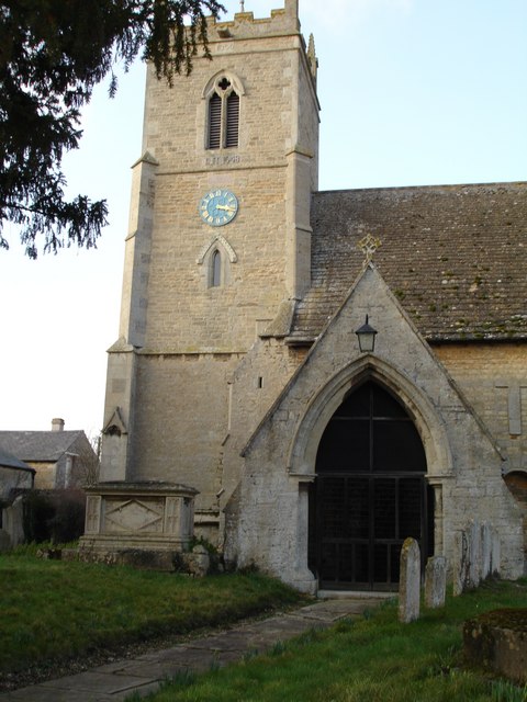
Barholm and Stowe
Barholm and Stowe is a civil parish in the South Kesteven district of Lincolnshire, England. According to the 2001 census it had a population of 87 in...

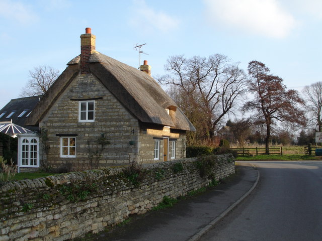
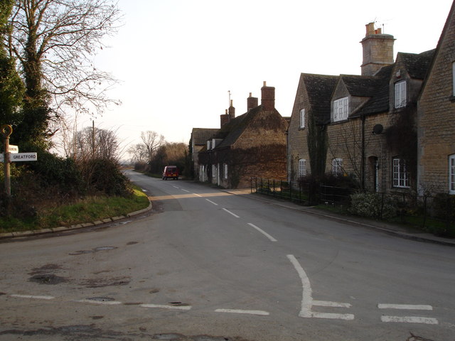
Greatford
Greatford is a village and civil parish in the South Kesteven district of Lincolnshire, England. It is situated 2 miles (3 km) west from the A15, 4.5 miles...

Uffington Rural District
Uffington was a rural district in Lincolnshire, Parts of Kesteven from 1894 to 1931. It was created in 1894 from that part of the Stamford rural sanitary...
Barholm
Barholm is a village in the civil parish of Barholm and Stowe, in the South Kesteven district of Lincolnshire, England. It is 2 miles (3 km) west from...
Nearby Amenities
Located within 500m of 52.682565,-0.40047414Have you been to Hill Field?
Leave your review of Hill Field below (or comments, questions and feedback).